Embed Size (px)
Citation preview
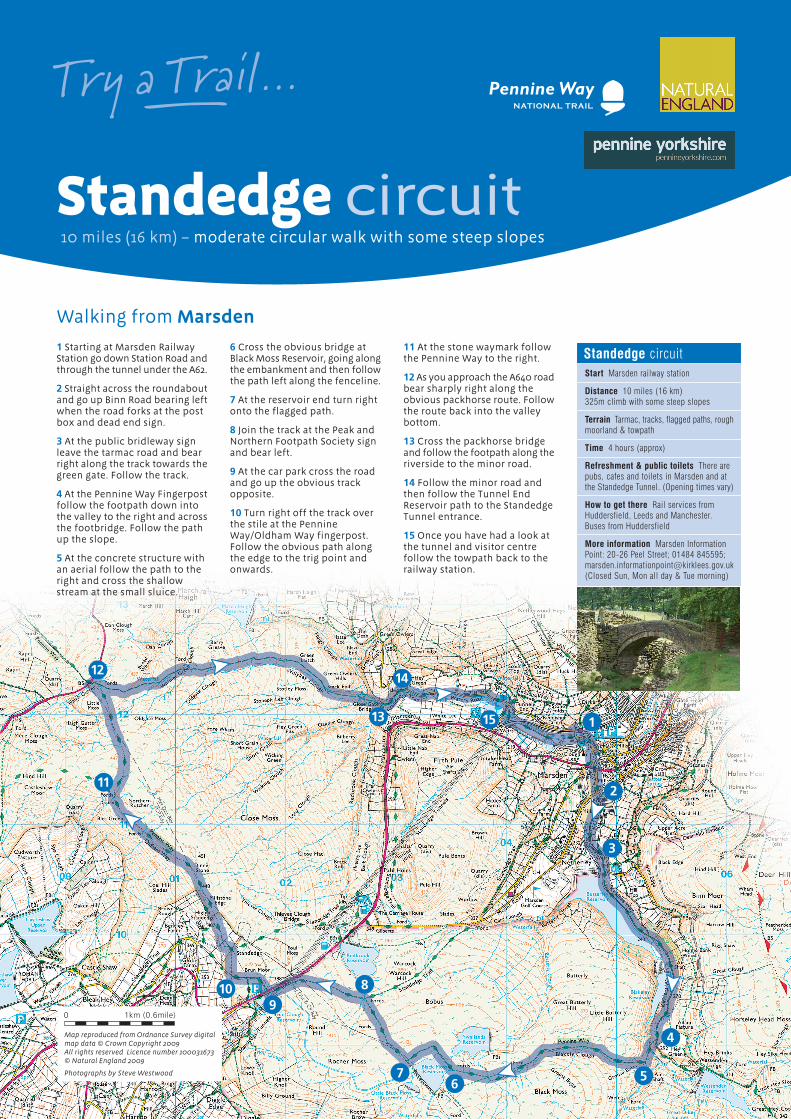
1 Starting at Marsden RailwayStation go down Station Road andthrough the tunnel under the A62.
2 Straight across the roundaboutand go up Binn Road bearing leftwhen the road forks at the postbox and dead end sign.
3 At the public bridleway signleave the tarmac road and bearright along the track towards thegreen gate. Follow the track.
4 At the Pennine Way Fingerpostfollow the footpath down intothe valley to the right and acrossthe footbridge. Follow the pathup the slope.
5 At the concrete structure withan aerial follow the path to theright and cross the shallowstream at the small sluice.
6 Cross the obvious bridge atBlack Moss Reservoir, going alongthe embankment and then followthe path left along the fenceline.
7 At the reservoir end turn rightonto the flagged path.
8 Join the track at the Peak andNorthern Footpath Society signand bear left.
9 At the car park cross the roadand go up the obvious trackopposite.
10 Turn right off the track overthe stile at the PennineWay/Oldham Way fingerpost.Follow the obvious path alongthe edge to the trig point andonwards.
11 At the stone waymark followthe Pennine Way to the right.
12 As you approach the A640 roadbear sharply right along theobvious packhorse route. Followthe route back into the valleybottom.
13 Cross the packhorse bridgeand follow the footpath along theriverside to the minor road.
14 Follow the minor road andthen follow the Tunnel EndReservoir path to the StandedgeTunnel entrance.
15 Once you have had a look atthe tunnel and visitor centrefollow the towpath back to therailway station.
1
9
8
76
5
4
3
2
10
11
12
13
14
15
Standedge circuitStart Marsden railway station
Distance 10 miles (16 km)325m climb with some steep slopes
Terrain Tarmac, tracks, flagged paths, roughmoorland & towpath
Time 4 hours (approx)
Refreshment & public toilets There arepubs, cafes and toilets in Marsden and atthe Standedge Tunnel. (Opening times vary)
How to get there Rail services fromHuddersfield, Leeds and Manchester.Buses from Huddersfield
More information Marsden InformationPoint: 20-26 Peel Street; 01484 845595;[email protected](Closed Sun, Mon all day & Tue morning)
10 miles (16 km) – moderate circular walk with some steep slopes
Standedge circuit
Walking from Marsden
Try a Trail ...– Pennine WayNATIONAL TRAIL
Map reproduced from Ordnance Survey digitalmap data © Crown Copyright 2009All rights reserved Licence number 100031673© Natural England 2009
Photographs by Steve Westwood
0 1km (0.6mile)
10 miles (16 km) – moderate circular walk with some steep slopes
Standedge circuit
Try a Trail ...– Pennine WayNATIONAL TRAIL
The Railway – The Huddersfieldand Manchester RailwayCompany bought the canal in1846 for £150,885, which speltthe end of the canal as acommercial concern.The railway to Stalybridge wasopened in 1849, and trade onthe canal declined until it wasabandoned in 1944. There arethree railway tunnels atStandedge – the one in currentuse is over 3 miles long.
Standedge Tunnel – The firstStandedge tunnel tookseventeen years to build. Thefirst boat went through inDecember 1810. The tunnel isnot wide enough for a towpath,so boats were ‘legged’ throughthe three miles. Expert leggerscould do the trip with an emptyboat in 1 hour 20 minutes, and3 hours with a full load. Thehorses were led over the hillsto join the boat at the otherend.
The walk starts at Marsden, a large village located atthe head of the Colne Valley surrounded by flowerstrewn pastures and the stunning wild moorland ofthe south Pennines. Once a thriving textile town onthe Huddersfield Narrow Canal it now supports athriving cultural scene for arts, crafts and music andhas its own theatre company.
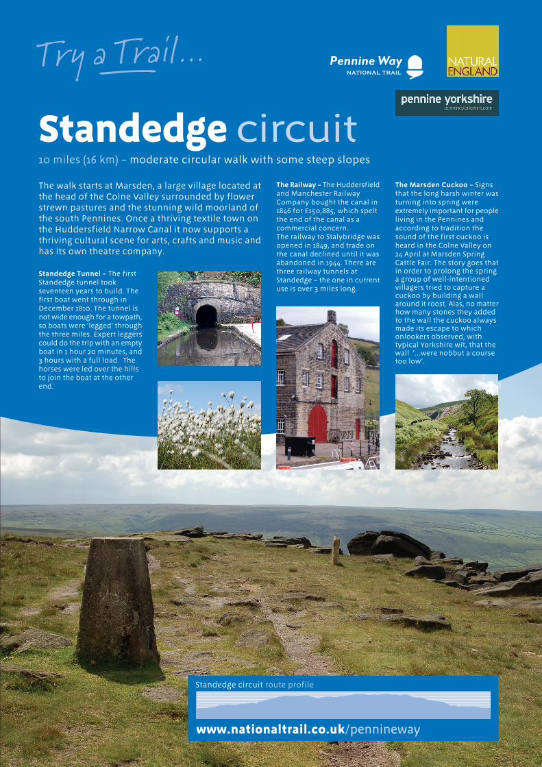
Standedge circuit route profile
www.nationaltrail.co.uk/pennineway
The Marsden Cuckoo – Signsthat the long harsh winter wasturning into spring wereextremely important for peopleliving in the Pennines andaccording to tradition thesound of the first cuckoo isheard in the Colne Valley on24 April at Marsden SpringCattle Fair. The story goes thatin order to prolong the springa group of well-intentionedvillagers tried to capture acuckoo by building a wallaround it roost. Alas, no matterhow many stones they addedto the wall the cuckoo alwaysmade its escape to whichonlookers observed, withtypical Yorkshire wit, that thewall ‘...were nobbut a coursetoo low’.