Embed Size (px)
Citation preview
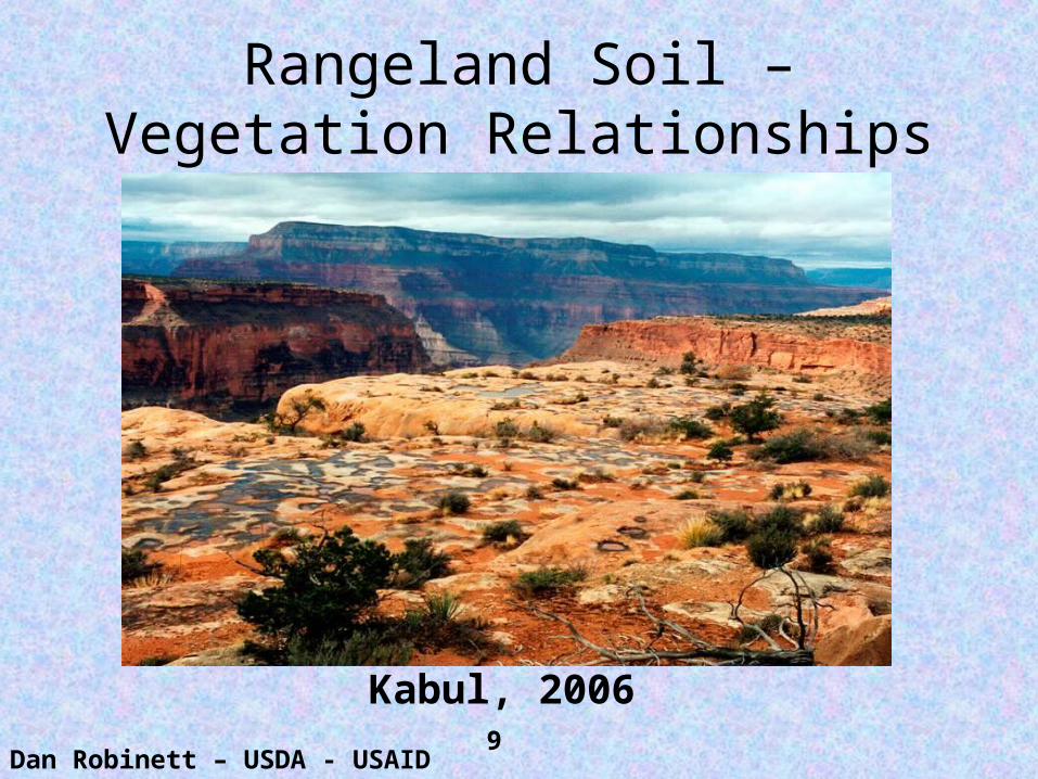
Rangeland Soil – Vegetation Relationships
Dan Robinett – USDA - USAID
Kabul, 20069
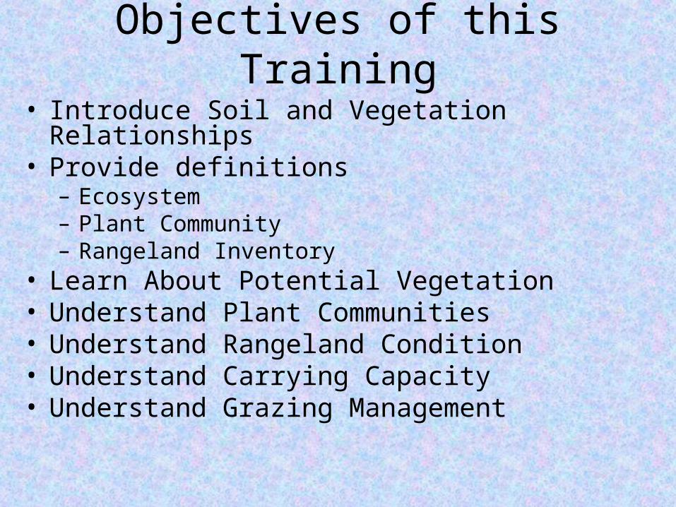
Objectives of this Training
• Introduce Soil and Vegetation Relationships• Provide definitions
– Ecosystem– Plant Community– Rangeland Inventory
• Learn About Potential Vegetation• Understand Plant Communities• Understand Rangeland Condition• Understand Carrying Capacity• Understand Grazing Management
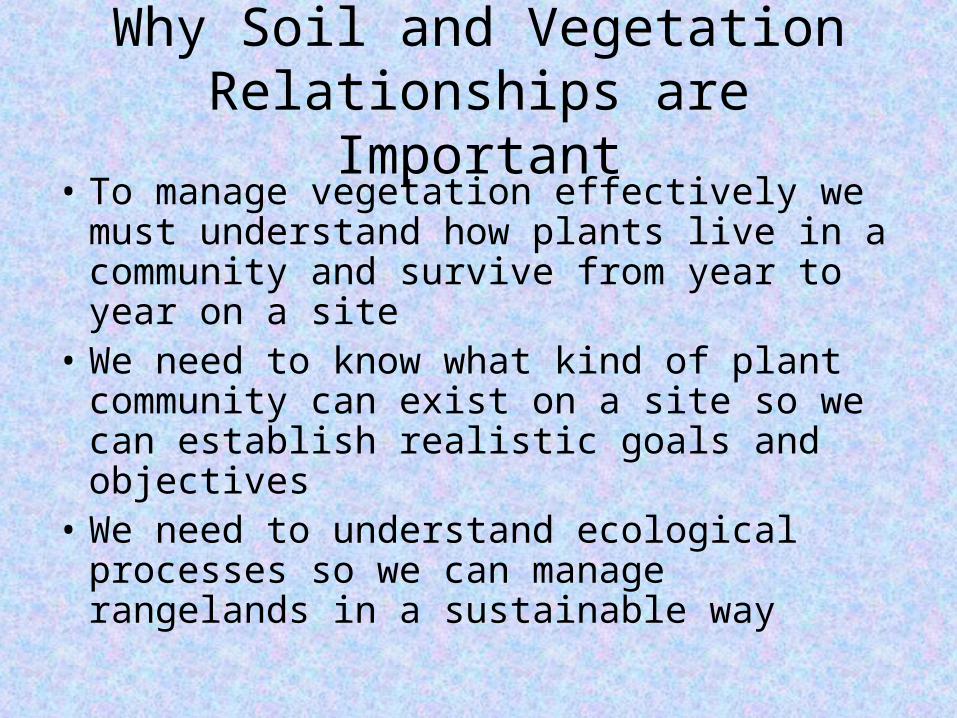
Why Soil and Vegetation Relationships are Important
• To manage vegetation effectively we must understand how plants live in a community and survive from year to year on a site
• We need to know what kind of plant community can exist on a site so we can establish realistic goals and objectives
• We need to understand ecological processes so we can manage rangelands in a sustainable way
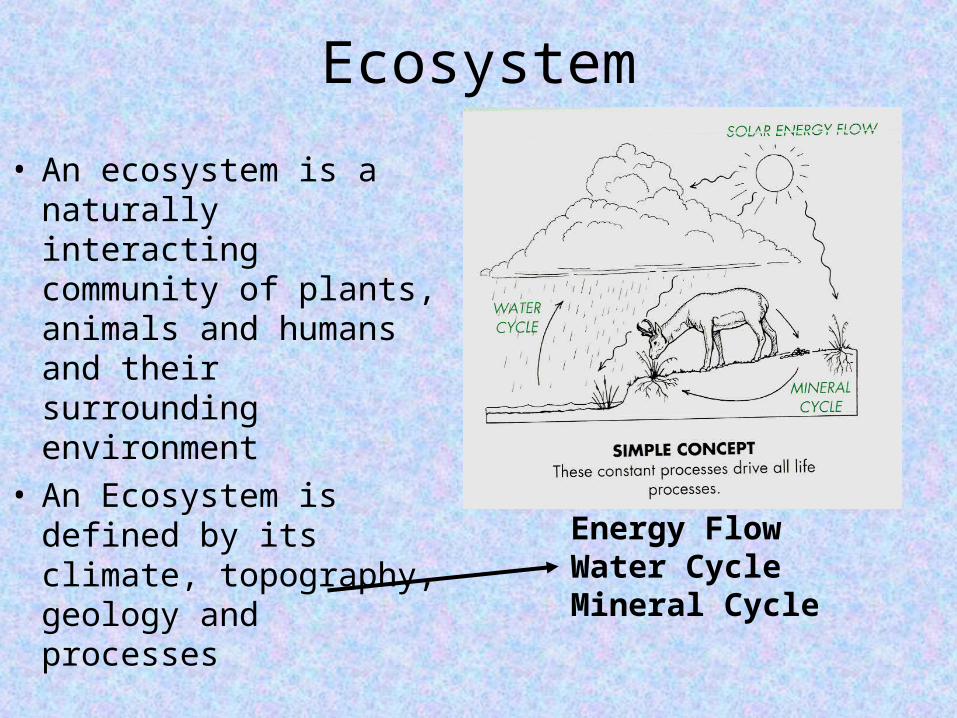
Ecosystem
• An ecosystem is a naturally interacting community of plants, animals and humans and their surrounding environment
• An Ecosystem is defined by its climate, topography, geology and processes
Energy FlowWater CycleMineral Cycle
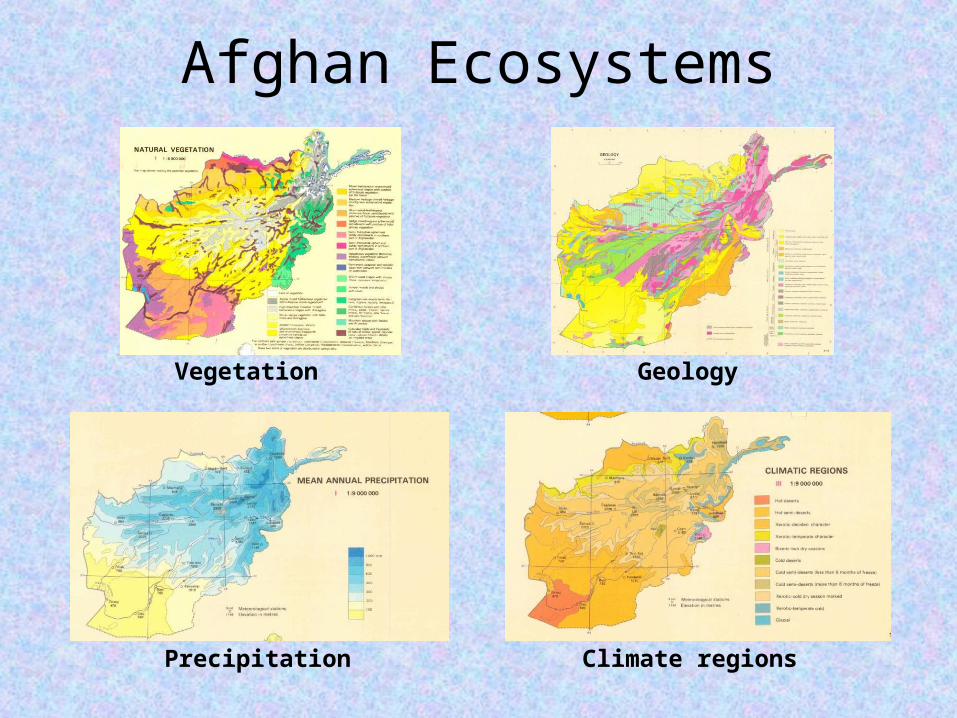
Afghan Ecosystems
Vegetation Geology
Precipitation Climate regions
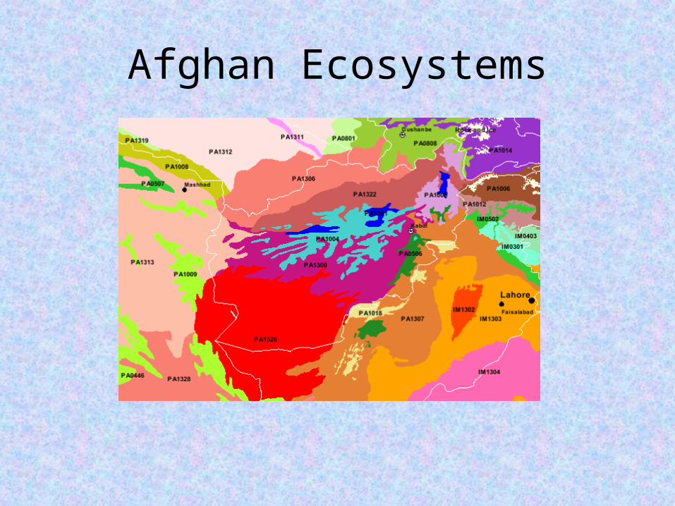
Afghan Ecosystems
Ecosystems Have
• A Characteristic Climate
• A Characteristic Flora (vegetation)
• A Characteristic Fauna (animals)
• A Characteristic Geography (topography, latitude, longitude)
• Characteristic Geology
• Characteristic Human Occupation
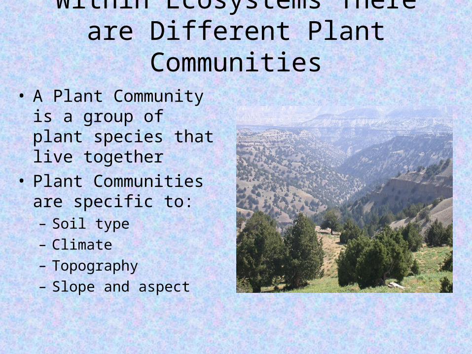
Within Ecosystems There are Different Plant Communities
• A Plant Community is a group of plant species that live together
• Plant Communities are specific to:– Soil type– Climate– Topography– Slope and aspect
A Plant Community Is• A unique group of plant species that
– Live together– Are adapted to the site and the soil type– Fully occupy the site
• Usually composed of a mixture of growth forms– Grasses– Forbs– Shrubs (and sometimes trees)
• Usually composed of a mixture of plant habits– Annual– Perennial– Deciduous– Evergreen
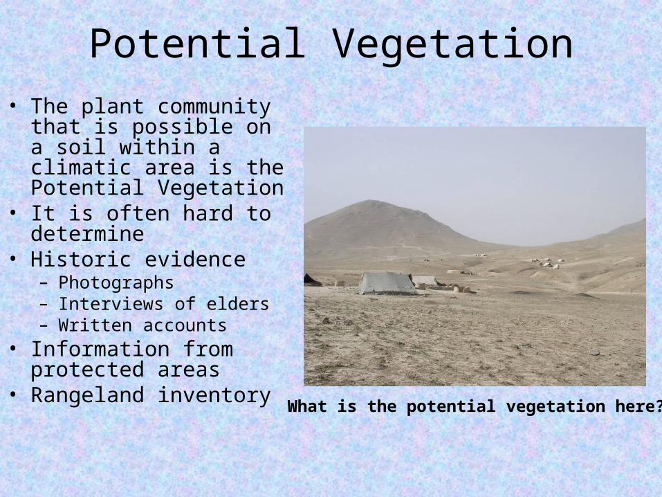
Potential Vegetation• The plant community that
is possible on a soil within a climatic area is the Potential Vegetation
• It is often hard to determine
• Historic evidence – Photographs– Interviews of elders– Written accounts
• Information from protected areas
• Rangeland inventoryWhat is the potential vegetation here?
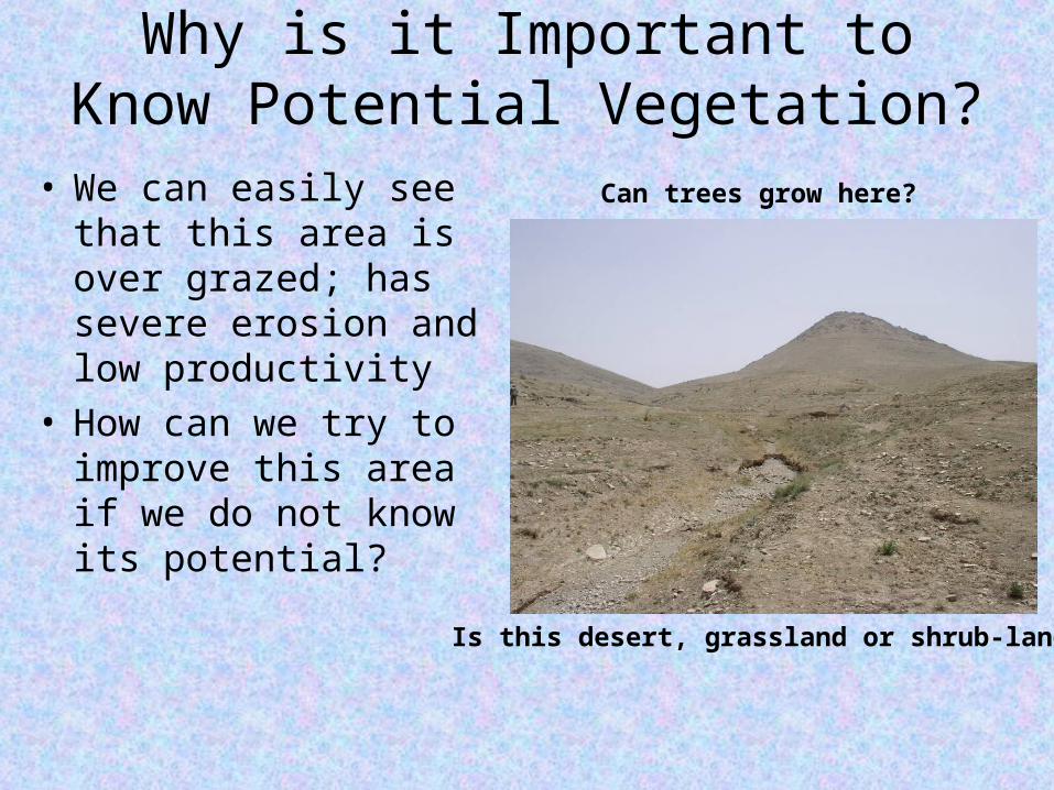
Why is it Important to Know Potential Vegetation?
• We can easily see that this area is over grazed; has severe erosion and low productivity
• How can we try to improve this area if we do not know its potential?
Is this desert, grassland or shrub-land?
Can trees grow here?
What Potential Vegetation Information Helps Us Do
• We must have an idea of what the potential plant community is for any area we want to manage or rehabilitate
• If we know the potential we can develop objectives for an area that are realistic and will have a good chance at success
• If we know the potential we can design land rehabilitation and plantings that are appropriate, using species that are adapted to the area
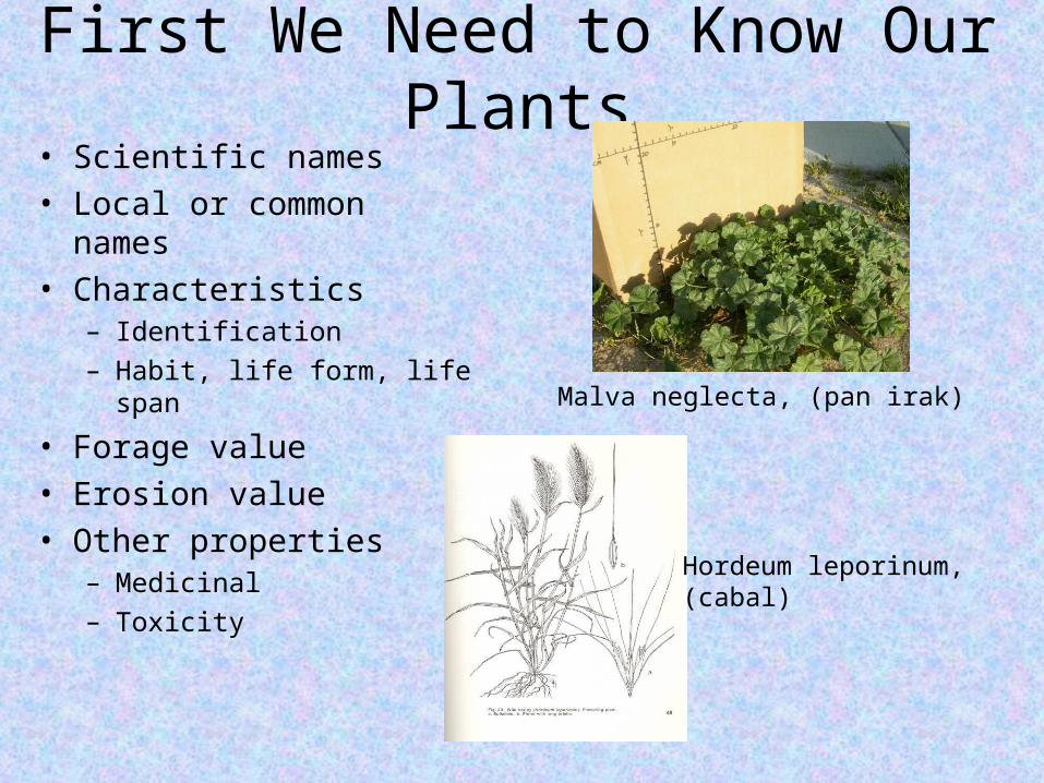
First We Need to Know Our Plants• Scientific names• Local or common names• Characteristics
– Identification– Habit, life form, life span
• Forage value• Erosion value• Other properties
– Medicinal– Toxicity
Malva neglecta, (pan irak)
Hordeum leporinum,(cabal)
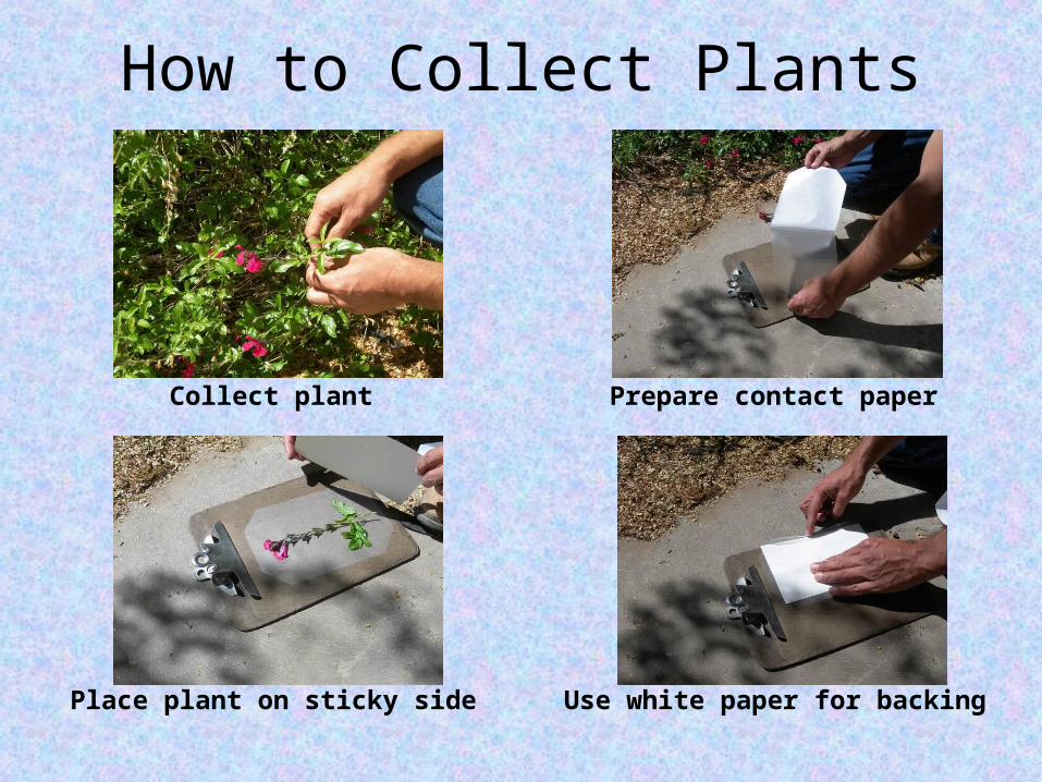
How to Collect Plants
Collect plant Prepare contact paper
Place plant on sticky side Use white paper for backing
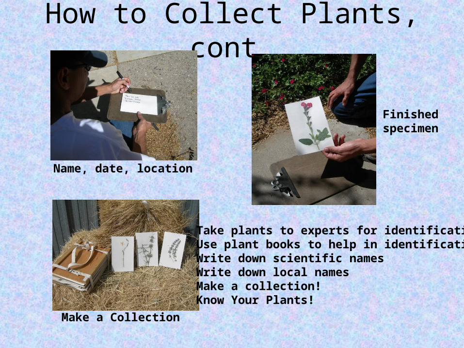
How to Collect Plants, cont.
Name, date, location
Make a Collection
Finishedspecimen
Take plants to experts for identificationUse plant books to help in identificationWrite down scientific namesWrite down local namesMake a collection!Know Your Plants!
Then We can Develop Information About Potential Vegetation
• Use the Written History of the Area
• Use Old Photography from the Area
• Use Old Land Studies or Research Areas
• Use the Testimony of Older People in Villages
• Use the Knowledge of Experts from Other Areas with Similar Climate and Soils
• Use Research from Neighboring Countries
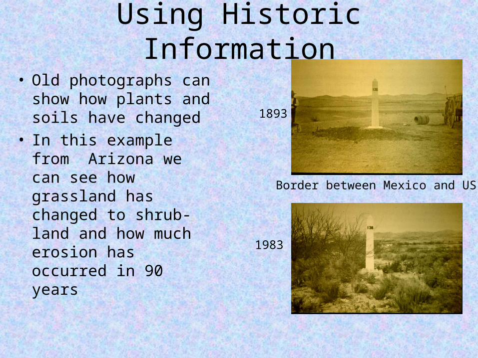
Using Historic Information
• Old photographs can show how plants and soils have changed
• In this example from Arizona we can see how grassland has changed to shrub-land and how much erosion has occurred in 90 years
1893
1983
Border between Mexico and US
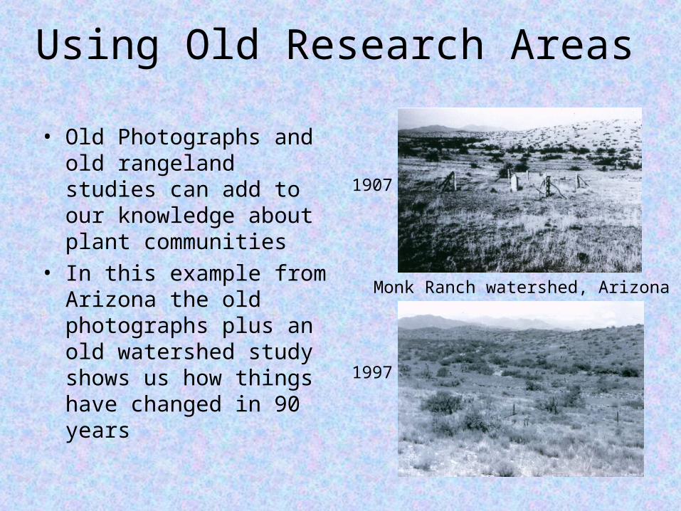
Using Old Research Areas
• Old Photographs and old rangeland studies can add to our knowledge about plant communities
• In this example from Arizona the old photographs plus an old watershed study shows us how things have changed in 90 years
1907
1997
Monk Ranch watershed, Arizona
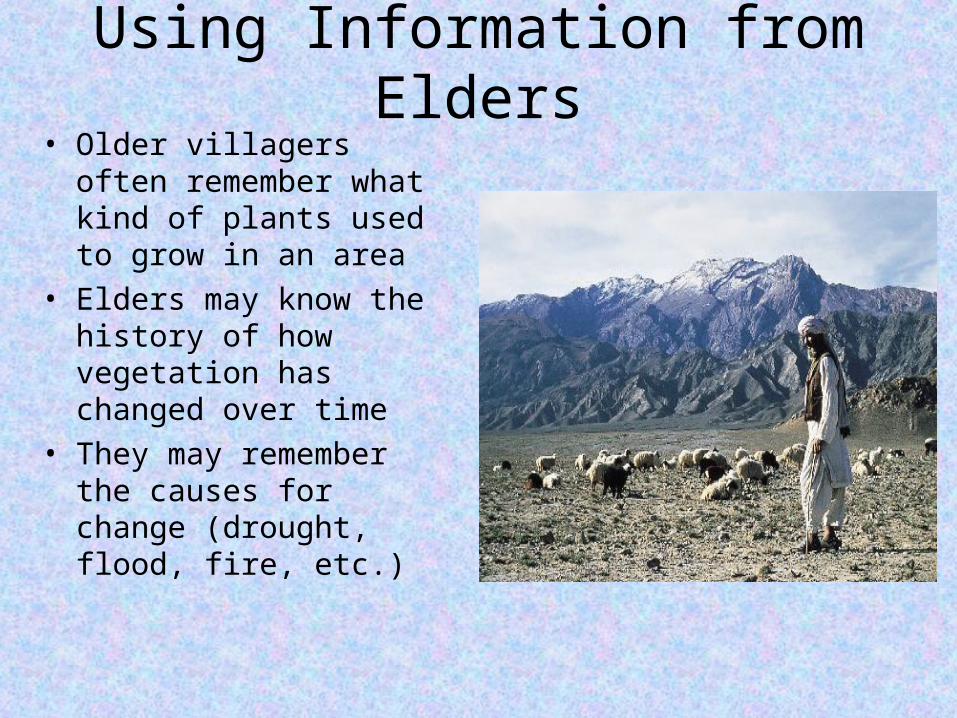
Using Information from Elders• Older villagers often
remember what kind of plants used to grow in an area
• Elders may know the history of how vegetation has changed over time
• They may remember the causes for change (drought, flood, fire, etc.)
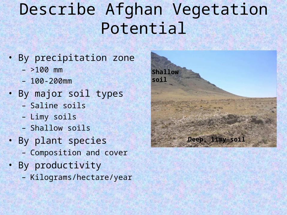
Describe Afghan Vegetation Potential
• By precipitation zone– >100 mm– 100-200mm
• By major soil types– Saline soils– Limy soils– Shallow soils
• By plant species– Composition and cover
• By productivity– Kilograms/hectare/year
Shallowsoil
Deep, limy soil
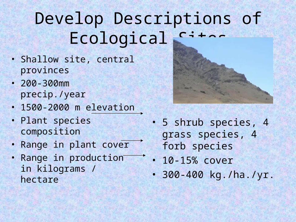
Develop Descriptions of Ecological Sites
• Shallow site, central provinces
• 200-300mm precip./year• 1500-2000 m elevation• Plant species
composition• Range in plant cover• Range in production in
kilograms / hectare
• 5 shrub species, 4 grass species, 4 forb species
• 10-15% cover• 300-400 kg./ha./yr.
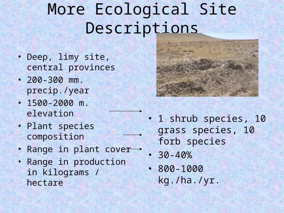
More Ecological Site Descriptions
• Deep, limy site, central provinces
• 200-300 mm. precip./year• 1500-2000 m. elevation• Plant species
composition• Range in plant cover• Range in production in
kilograms / hectare
• 1 shrub species, 10 grass species, 10 forb species
• 30-40%• 800-1000 kg./ha./yr.
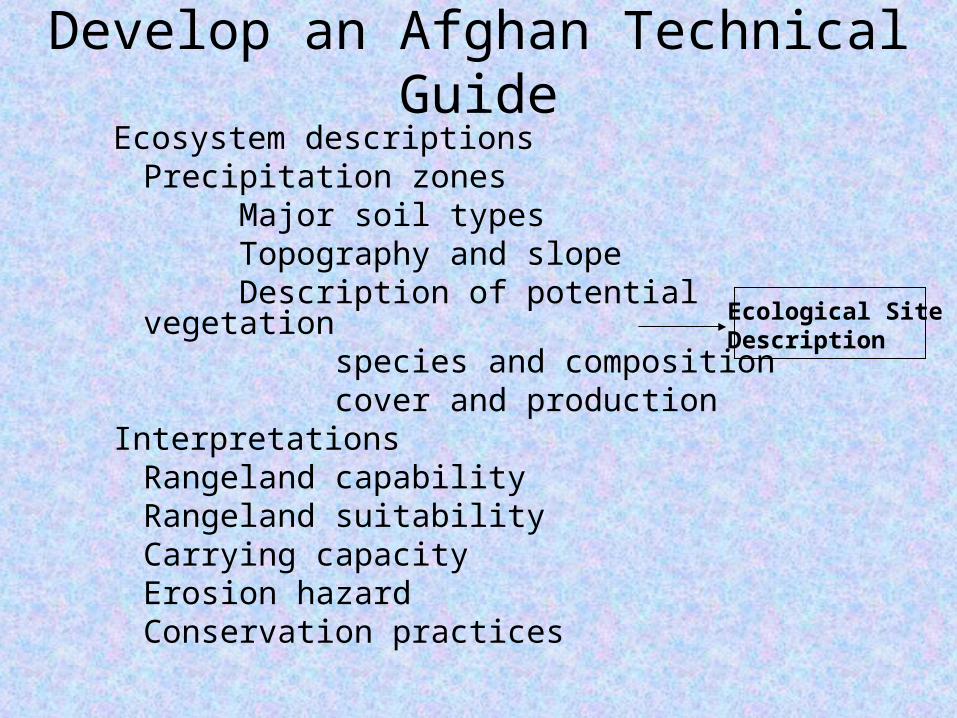
Develop an Afghan Technical GuideEcosystem descriptions
Precipitation zonesMajor soil typesTopography and slopeDescription of potential vegetation
species and compositioncover and production
InterpretationsRangeland capabilityRangeland suitabilityCarrying capacityErosion hazardConservation practices
Ecological SiteDescription
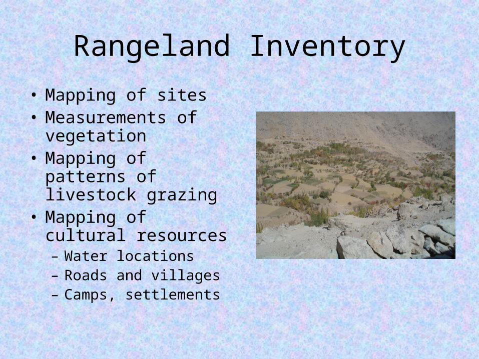
Rangeland Inventory
• Mapping of sites• Measurements of
vegetation • Mapping of patterns
of livestock grazing• Mapping of cultural
resources– Water locations– Roads and villages– Camps, settlements
Rangeland Condition
• Compare existing vegetation to potential vegetation
• Compare existing plant cover and production to potential
• Evaluate erosion• Other factors
– Noxious plants– Drought
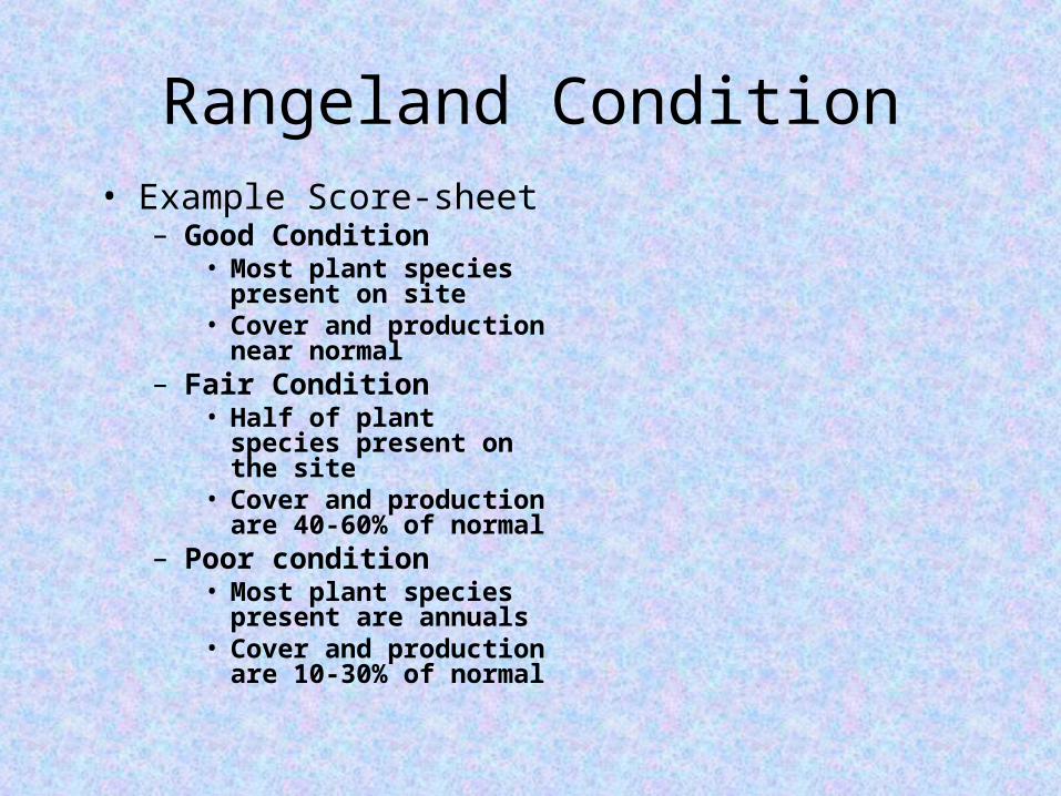
Rangeland Condition• Example Score-sheet
– Good Condition• Most plant species
present on site• Cover and production
near normal– Fair Condition
• Half of plant species present on the site
• Cover and production are 40-60% of normal
– Poor condition• Most plant species
present are annuals• Cover and production
are 10-30% of normal
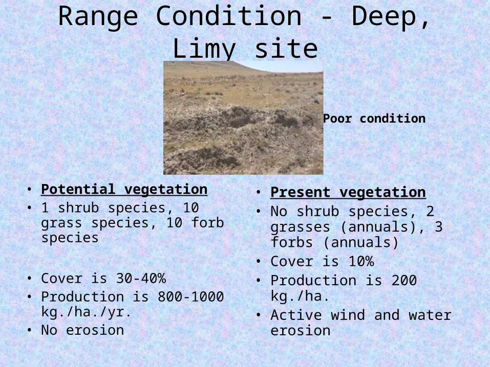
Range Condition - Deep, Limy site
• Potential vegetation• 1 shrub species, 10 grass
species, 10 forb species
• Cover is 30-40%• Production is 800-1000
kg./ha./yr.• No erosion
• Present vegetation• No shrub species, 2
grasses (annuals), 3 forbs (annuals)
• Cover is 10%• Production is 200 kg./ha.• Active wind and water
erosion
Poor condition
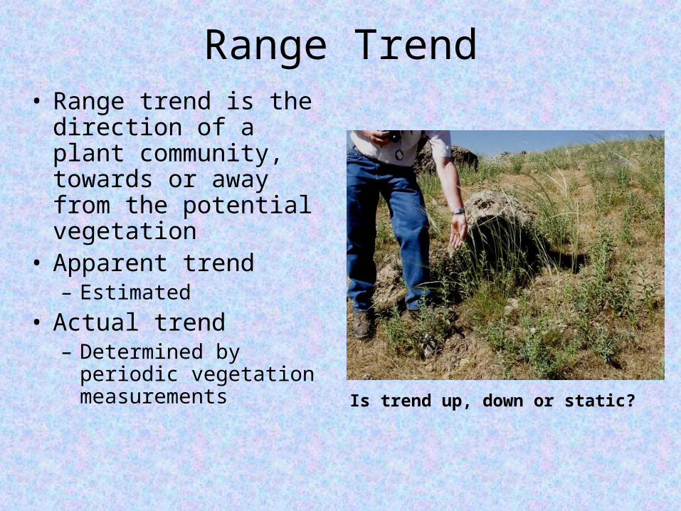
Range Trend• Range trend is the
direction of a plant community, towards or away from the potential vegetation
• Apparent trend– Estimated
• Actual trend– Determined by
periodic vegetation measurements Is trend up, down or static?
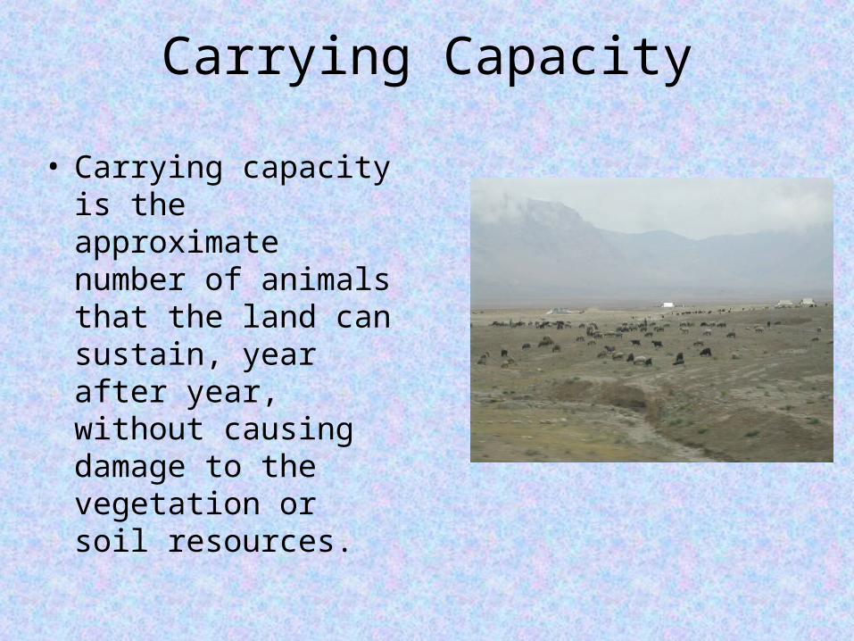
Carrying Capacity
• Carrying capacity is the approximate number of animals that the land can sustain, year after year, without causing damage to the vegetation or soil resources.
Carrying Capacity is a Function of
• Ecological sites• Range condition• Yearly precipitation• Management objectives
– Do you want the range to improve?– Do you want the range to stay the same?– Do you want cleaner water and more forage?– Do you want longer stream-flow for a longer
irrigation season?
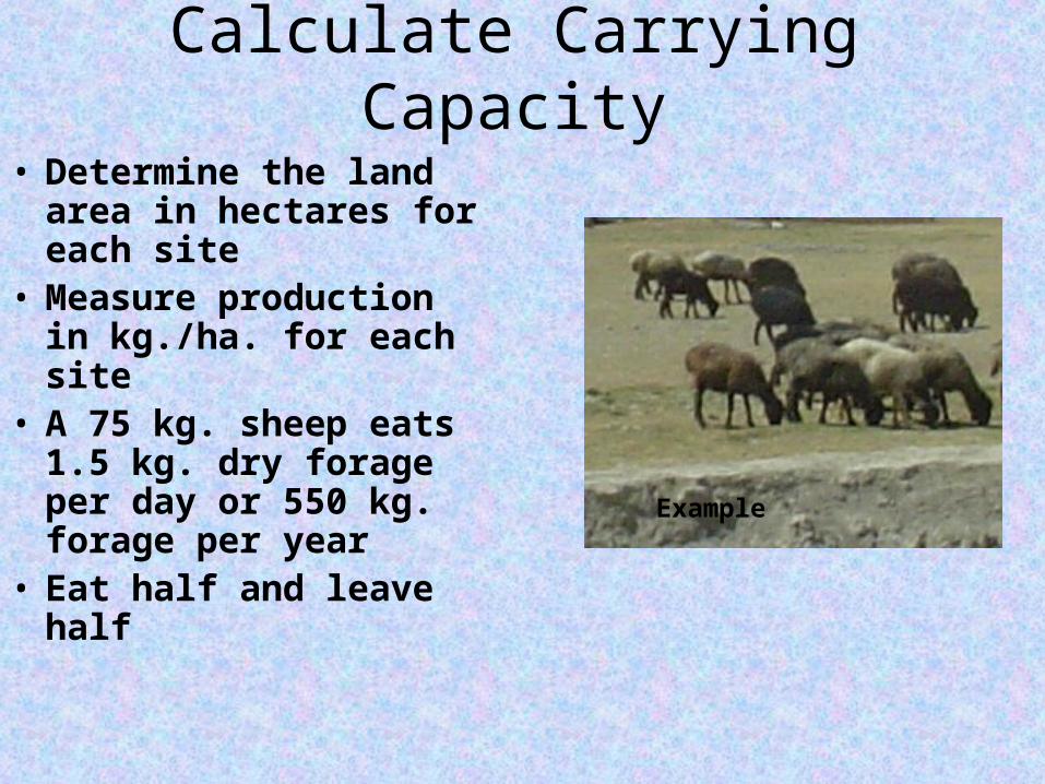
Calculate Carrying Capacity
• Determine the land area in hectares for each site
• Measure production in kg./ha. for each site
• A 75 kg. sheep eats 1.5 kg. dry forage per day or 550 kg. forage per year
• Eat half and leave half
Example
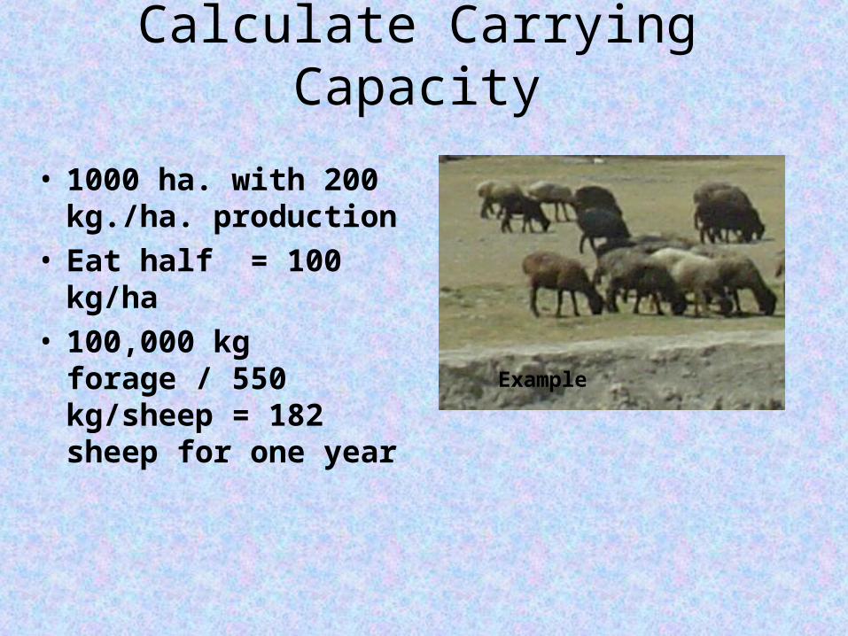
Calculate Carrying Capacity
• 1000 ha. with 200 kg./ha. production
• Eat half = 100 kg/ha• 100,000 kg forage /
550 kg/sheep = 182 sheep for one year Example
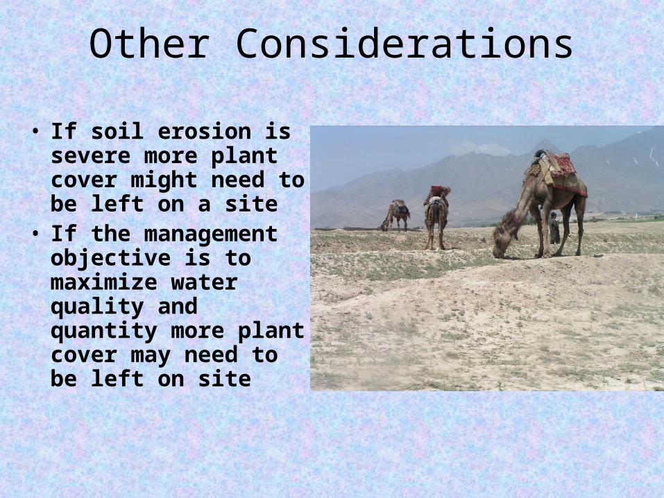
Other Considerations
• If soil erosion is severe more plant cover might need to be left on a site
• If the management objective is to maximize water quality and quantity more plant cover may need to be left on site
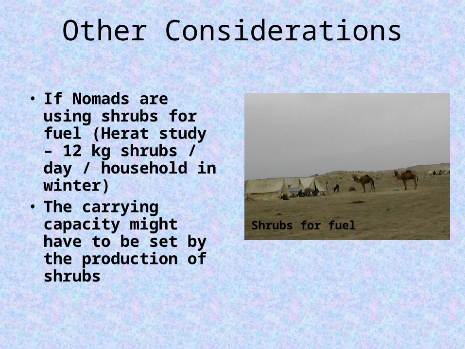
Other Considerations
• If Nomads are using shrubs for fuel (Herat study – 12 kg shrubs / day / household in winter)
• The carrying capacity might have to be set by the production of shrubs
Shrubs for fuel
Carrying Capacity for Arid Lands
• Research done for many years in the arid United States and in Australia have shown that Carrying Capacity should not exceed 30% of the average forage production of an area– Usually we recommend 50%
• This allows for proper grazing even in dry years• Animals can be kept on the range longer in wet
years to use additional forage and put on more weight for market
Grazing Management What Can We Do?
• Graze all of the range each year but only use half of the forage, leave the other half for soil protection and organic matter
• This means that Nomads might have to move camp more often but– As the range improves they will have better
forage, more animal production, better water supplies and more plants for fuel
– Their rights have to be respected so that they can realize the benefits of their efforts
Grazing Management, cont.
• Rest rangeland that is in poor condition through the growing season (Feb. – June) to allow for recovery of grasses and shrubs
• Graze rangeland that is rested (after seeds have produced) to help plant seeds with the animals feet and trample litter into the soil.
• Each year graze in a different pattern so areas are not used at the same time every year
Grazing Management, cont.
• Do not graze spring ranges too early, remember that plants have to green up after winter with food they stored in their roots.
• They need time in the spring to grow enough green leaves so they can convert solar energy into chemical energy and be healthy and productive
Grazing Management, cont.
• Remember that when the green color of a grass plant changes to straw color, the leaves are dead and the plant can be more heavily grazed then when it is green
• We still need to leave enough cover – To protect the soils from erosion – To trap snow and rain on the site and allow it to soak
into the soil – To protect the plant base and roots from winter cold
and summer heat
Summary
• We Have– Introduced Soil and Vegetation Relationships– Provided definitions– Learned About Potential Vegetation
• Understanding of Plant Communities
• Understanding of Rangeland Condition
• Understanding of Carrying Capacity
• Understanding of Grazing Management
The End
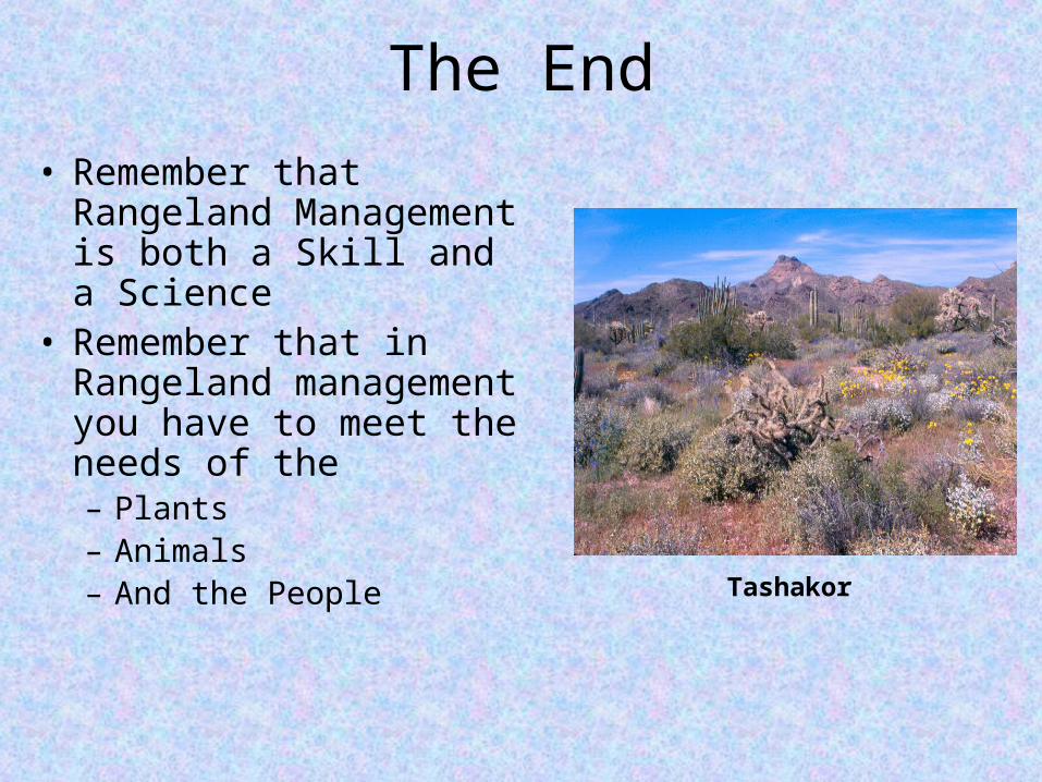
• Remember that Rangeland Management is both a Skill and a Science
• Remember that in Rangeland management you have to meet the needs of the – Plants– Animals– And the People
Tashakor