Embed Size (px)
Citation preview
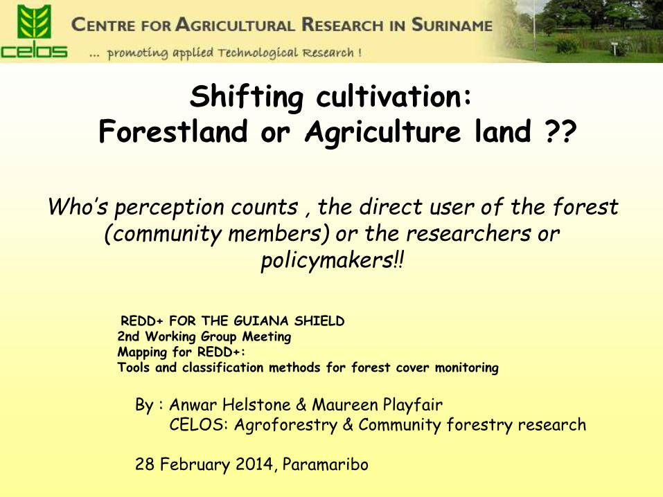
Shifting cultivation:
Forestland or Agriculture land ??
Who’s perception counts , the direct user of the forest
(community members) or the researchers or policymakers!!
REDD+ FOR THE GUIANA SHIELD 2nd Working Group Meeting Mapping for REDD+: Tools and classification methods for forest cover monitoring
By : Anwar Helstone & Maureen Playfair CELOS: Agroforestry & Community forestry research 28 February 2014, Paramaribo
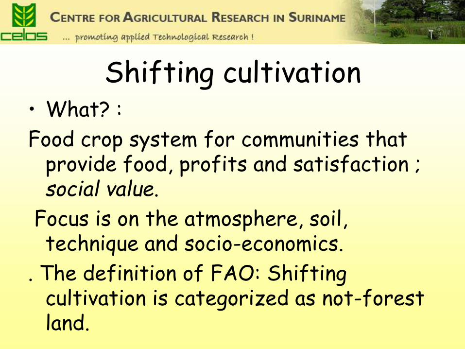
Shifting cultivation • What? :
Food crop system for communities that provide food, profits and satisfaction ; social value.
Focus is on the atmosphere, soil, technique and socio-economics.
. The definition of FAO: Shifting cultivation is categorized as not-forest land.
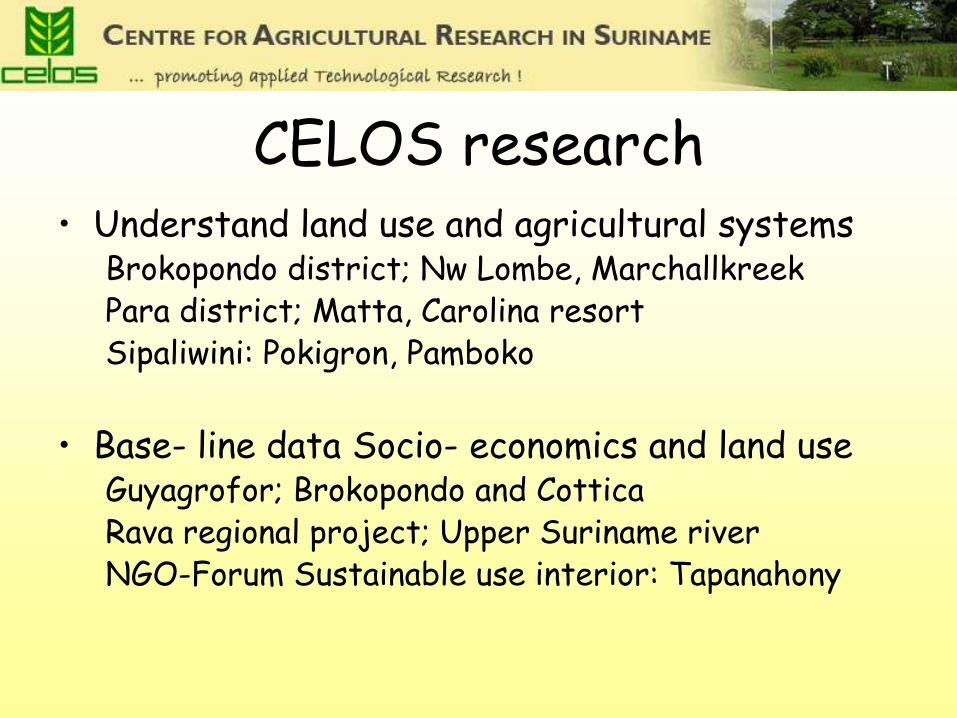
CELOS research • Understand land use and agricultural systems
Brokopondo district; Nw Lombe, Marchallkreek Para district; Matta, Carolina resort Sipaliwini: Pokigron, Pamboko
• Base- line data Socio- economics and land use
Guyagrofor; Brokopondo and Cottica Rava regional project; Upper Suriname river NGO-Forum Sustainable use interior: Tapanahony
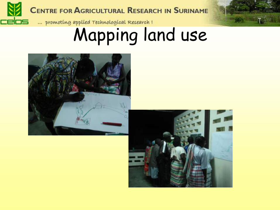
Mapping land use
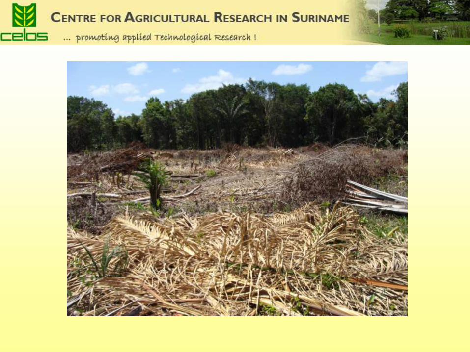
Overview of agriculture activities in the interior of Suriname
• Permanent systems “ Large scale” agricultural practices from semi government organizations like SEL in the past;
Victoria, Phedra, Koebiti, West Suriname Experiments with commercial “large scale” farm plots of individuals usually along major access
roads in the interior Entrepreneurs from tribal communities; road to Pokigron More recent commercial activities; pine apple and cassava farm at Tibiti, cashew plantings in Powakka Cassava plots for kwak production around roads in the gold mining areas in east Suriname
Around villages “ Development” projects of (local) NGO’s to establish commercial agriculture activities; Home gardens with trees and vegetables Plots for peanuts Commercial pine apple cultivation (Carolina resort) • Shifting cultivation systems Short fallow systems; Brokopondo, Cottica, Para Long fallow systems; Boven Suriname rivier, de Boven Saramacca, de Tapanahony en Lawa
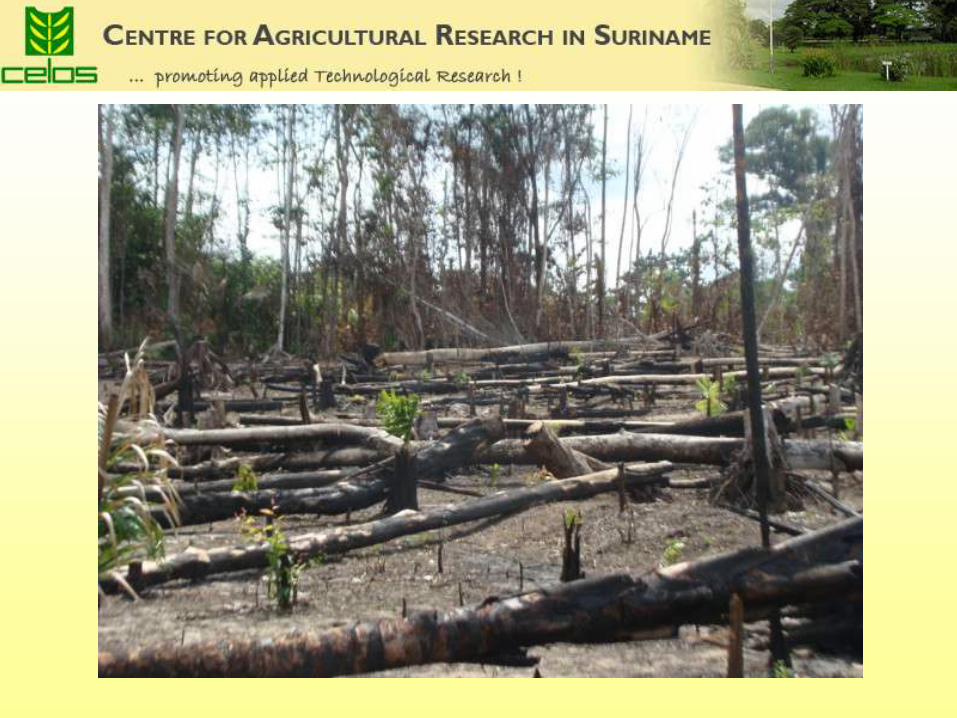
Shifting cultivation land measured by CELOS
• Satellite imagery shows that in 2008 about 240,000 ha of land are under shifting cultivation.
• This regards active plots with crops on it as well as abandoned plots covered with secondary vegetation of different stages.
General characters of Suriname shifting cultivation systems
• Parcel :size 0.08 ha up to 4 ha
• Main crops : rice, tannia (root crop), cassava, pine apple • Abandon the parcel because of decreasing soil fertility
and weed development • Fallow period : o 1 year, o 2 years, o 5 years, o 10 years, o 15 years, o > 15 years • Maximum cultivation period : 2 years
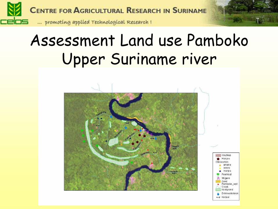
Assessment Land use Pamboko Upper Suriname river
Shifting cultivation systems at the upper Suriname river area
• “Pranasi” / Stam boesi Cultivation in primary forest Farmers stays 2-3 weeks Approx. 2 hours walking from the homestead Is diminishing , because of school for the kids • “Gran Kapee” Cultivation in secondary vegetation ( fallow vegetation of minimal 15 years) Tree diameter indicator of soil fertility Village family land division system ; lo’s or clans • “Pikien Kapee” Cultivation in secondary vegetation ( fallow vegetation of less than15 years Establishment, not far from the homestead Easier to clear • “fia fia” Cultivation in secondary vegetation of 1-3 years Women use machete to clear parcel Vegetation : grasses and shrubs Peanut cultivation
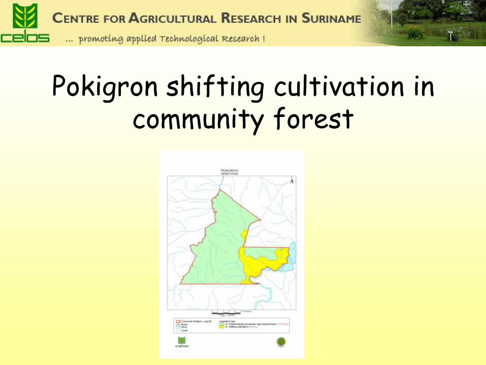
Pokigron shifting cultivation in community forest
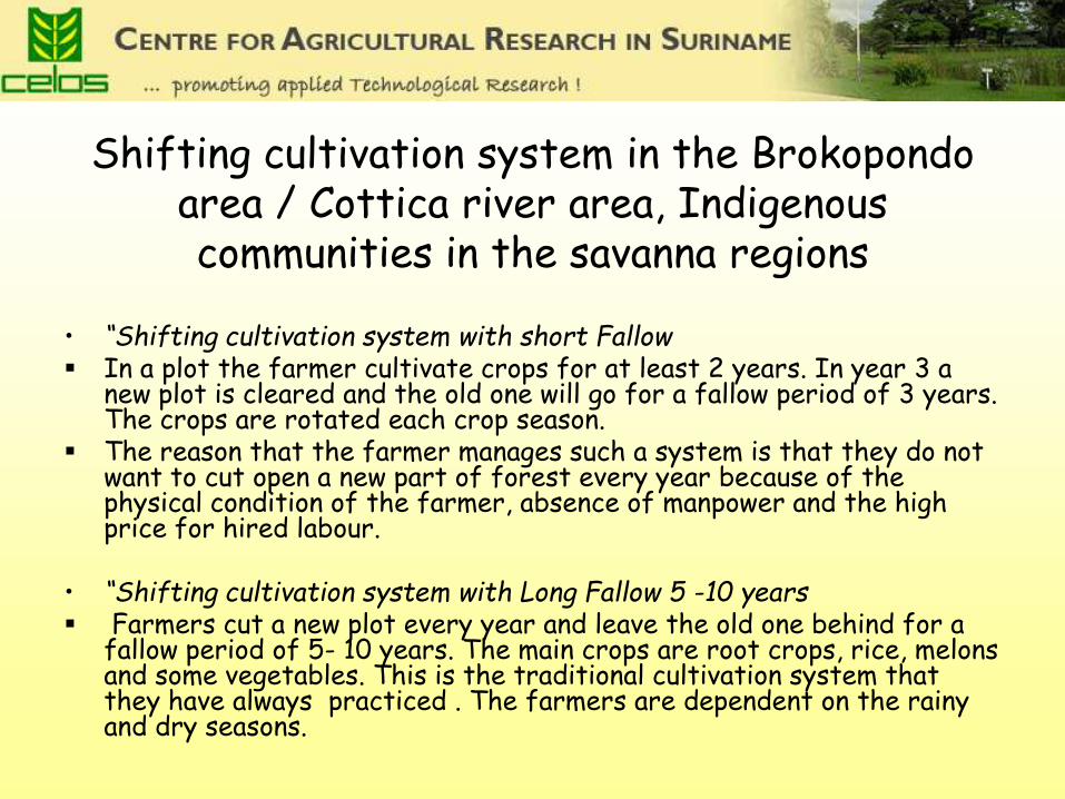
Shifting cultivation system in the Brokopondo area / Cottica river area, Indigenous communities in the savanna regions
• “Shifting cultivation system with short Fallow In a plot the farmer cultivate crops for at least 2 years. In year 3 a
new plot is cleared and the old one will go for a fallow period of 3 years. The crops are rotated each crop season.
The reason that the farmer manages such a system is that they do not want to cut open a new part of forest every year because of the physical condition of the farmer, absence of manpower and the high price for hired labour.
• “Shifting cultivation system with Long Fallow 5 -10 years Farmers cut a new plot every year and leave the old one behind for a
fallow period of 5- 10 years. The main crops are root crops, rice, melons and some vegetables. This is the traditional cultivation system that they have always practiced . The farmers are dependent on the rainy and dry seasons.

Benefits for management of fallow land (Kapee)for farmers
• Harvesting of Non Timber Forest Product
• The forest is used also in a non-commercial way for collecting building materials for houses or furniture
• “first logger rights”, meaning that the first logger of the plot is the right holder of the cleared area, together with his wife and children.
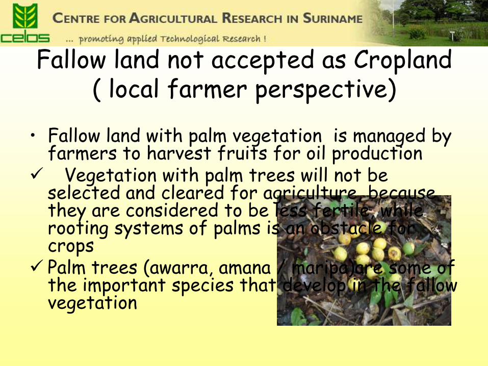
Fallow land not accepted as Cropland ( local farmer perspective)
• Fallow land with palm vegetation is managed by farmers to harvest fruits for oil production
Vegetation with palm trees will not be selected and cleared for agriculture, because they are considered to be less fertile, while rooting systems of palms is an obstacle for crops
Palm trees (awarra, amana / maripa)are some of the important species that develop in the fallow vegetation

concentraties of palm trees in Pokigron forests
How will we classify this fallow vegetation with palms
• Primary it was forest
• Thereafter it is cleared for agriculture
• Is it still agriculture land or forest land ?
Thank you