Embed Size (px)
Citation preview
THE AFRICAN AMERICAN HERITAGE PARKALEXANDRIA VIRGINIA
ADRIAN D ANDERSON
ALLAN WESTOVER
PRINCIPAL INVESTIGATOR
TELLUS CONSULTANTS
MINNEAPOLIS MINNESOTA
1992
THE AFRICAN AMERICAN HERITAGE PARKALEXANDRIA VIRGINIA
ADRIAN D ANDERSON
Introduction
Between 1985 and 1992 a series of archaeological and
historical research efforts were directed to resolve questions
surrounding the history and early use of a 11 acre tract betweenHolland Lane and Hooffs Run as a cemetery The research reported
here was conducted between 12 and 26 August 1992 It was designed
to determine two things 1 whether a proposed development plan for
an Afro American Heritage Park on the site would impact any
interments and 2 to provide better understanding of the location
and distribution of interments This report brings together the
findings relating to an historic Baptist Cemetery established bymembers of Alexandrias Black community in 1885 buried under a
City landfill in the early 1960s and now identified as the site
for an African American Heritage Park
Background
During early phases of the planing for the Carlyle Projectthe Oliver Carr Company learned that clear title could not be
obtained for a portion of Norfolk Southern Railway Company
property between Holland Lane and the Alexandria National MilitaryCemetery This property was identified in early documents as a
Baptist Cemetery undated Statement Regarding Baptist Cemetery
The City of Alexandria began study of the area as a possible site
for the construction of shelters for the homeless and questions
L

were raised concerning the history of the property Cressy 1985
Alexandria Archaeology conducted a study of the property and
prepared an overview in which the following facts were presented
1 The CM Hopkins map 1877 indicates that William J
Holland owned a parcel of land which lay between the Alexandria
National Military Cemetery the Virginia Midland Railway Company tothe north and the present Holland Lane on the west
2 A Cemetery Association was established on 13 November
1885 after members of the Silver Leaf Colored Society of
Alexandria Virginia appointed several individuals to form a
corporation for the purpose of creating and maintaining a Baptist
cemetery Charter Book Records of the City of Alexandria Virginia
Alexandria Records
3 Land for the cemetery was obtained by conveyance from J
Holland to George Keys Date Deed Book E5 p 418 and one
acre of four owned by Keys was then conveyed to Thomas Mann on 29
December 1885 Deed Book E5 p 418 Land Records of Fairfax
County Virginia Fairfax Records It is presumed that the
Thomas H Mann acquiring title to the land is the same Thomas H
Mann identified as General Superintendent of the Baptist Cemetery
Association in the papers of incorporation Cressy 1985 Attachment
3
No other documentation of the history of the property from its
establishment 1885 to the time of Cresseysreport was presented
although it is known that the City utilized the area as a landfill
in the 1960s
3
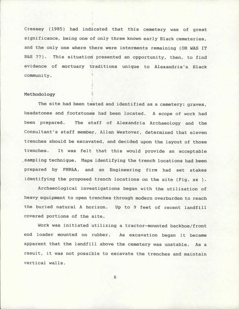
Cressey 1985 had indicated that this cemetery was of great
significance being one of only three known early Black cemeteries
and the only one where there were interments remaining OR WAS IT
B S This situation presented an opportunity then to find
evidence of mortuary traditions unique to AlexandriasBlack
community
Methodology
The site had been tested and identified as a cemetery graves
headstones and footstones had been located A scope of work had
been prepared The staff of Alexandria Archaeology and the
Consultantsstaff member Allan Westover determined that eleven
trenches should be excavated and decided upon the layout of those
trenches It was felt that this would provide an acceptable
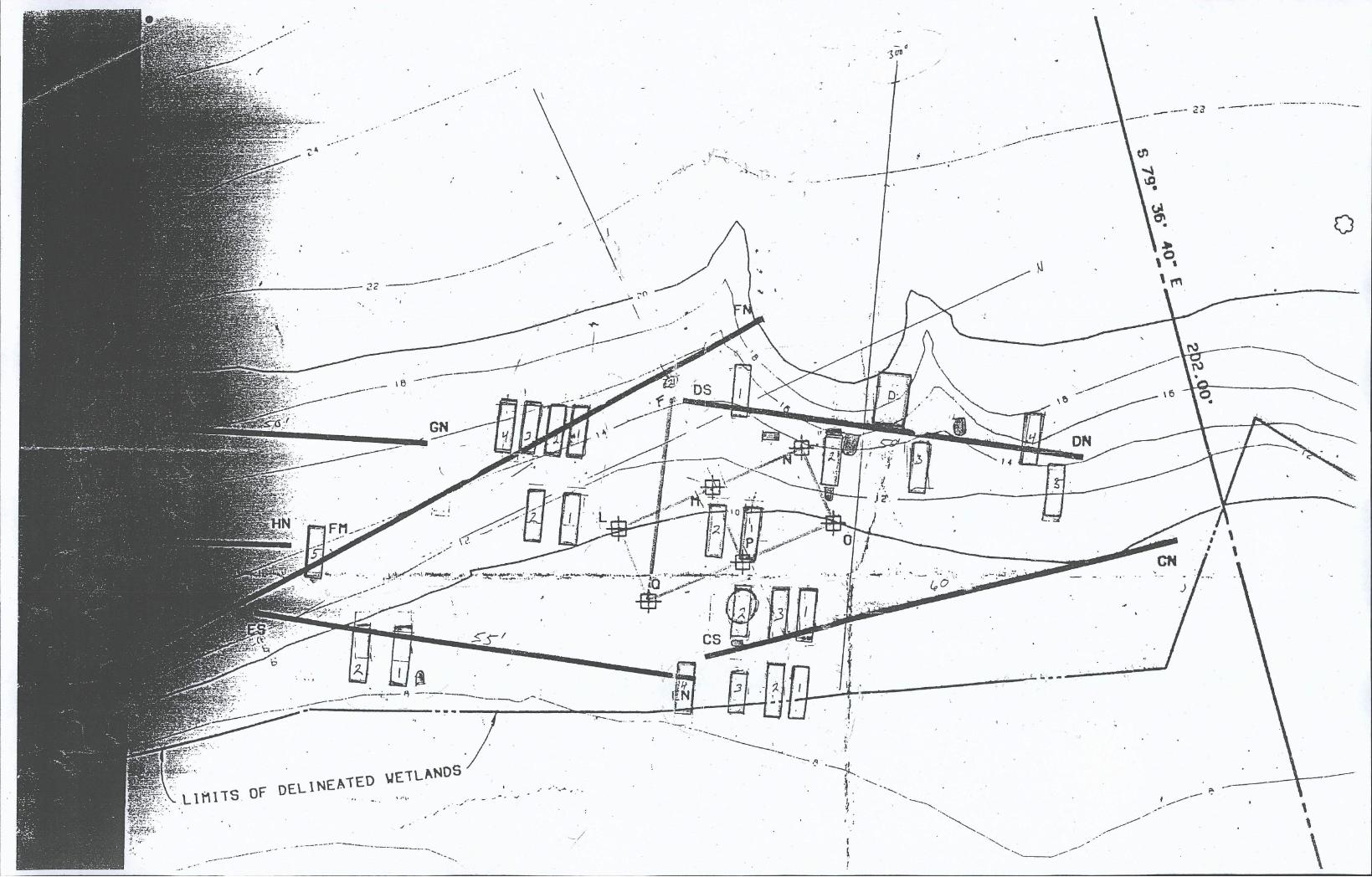
sampling technique Maps identifying the trench locations had been
prepared by PHRA and an Engineering firm had set stakes
identifying the proposed trench locations on the site Fig xx
Archaeological investigations began with the utilization of
heavy equipment to open trenches through modern overburden to reach
the buried natural A horizon Up to 9 feet of recent landfill
covered portions of the site
Work was initiated utilizing a tractor mounted backhoefront
end loader mounted on rubber As excavation began it became
apparent that the landfill above the cemetery was unstable As a
result it was not possible to excavate the trenches and maintain
vertical walls
6
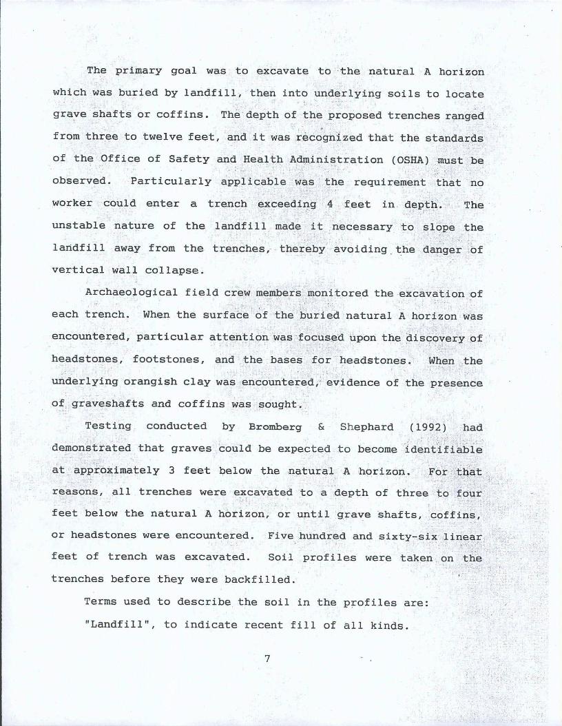
Buried A Horizon or black organic to indicate the
original surface of the land when it was a cemetery The Munsel
description is 75YR 20 black silty loam
Orangish clay to indicate the Cretaceous Period sediments
It has a Munsel notation of 10YR 58 It is a yellowish brown silt
clay mottled with 10YR 64 light yellowish brown
Marine clay to indicate deposits of Cretaceous clays which
have a Munsel color of 10YR 71 light gray clay
grave shafts are a mottled mixture of all three soil types
RESULTS OF INVESTIGATION
TRENCH A
Length 25 feet
Profile
Taken 6 feet south of stake A North
Thicknes of A Horizon 4
Light mottled earth 4
Black and light laminated sands 22
Orange mottled clay 8
Total Depth 38
Findings No graves were identified in this trench
TRENCH B
Length 25 feet
Profile
Taken 8 feet north of stake B South
Sandy black coal dust and root filled A horizon 8
8
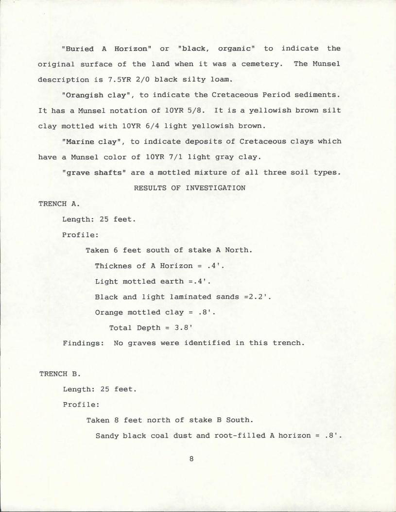
Mottled yellow alluvial clay 4
Laminated black and light brown soil 24
Total Depth 36
Findings No graves were identified in this trench
TRENCH C
Length 60 feet
Profile
Taken at north end
Gravel fillbrown sandy silt 9
Silty loamroot mass 7
Black organic layer 4
Ferrous colored pea gravel 5
Mottled clay marine clay 18
Total depth 43 feet
Profile
Taken at 20 feet from CN stake
Gravel fill brown sandy silt 6
Brown sandy silt small pea gravel some brick
fragments and root mass 4
Black organic silty loam 6
Orangish marine clay 20
Total depth 36feet
Findings
9
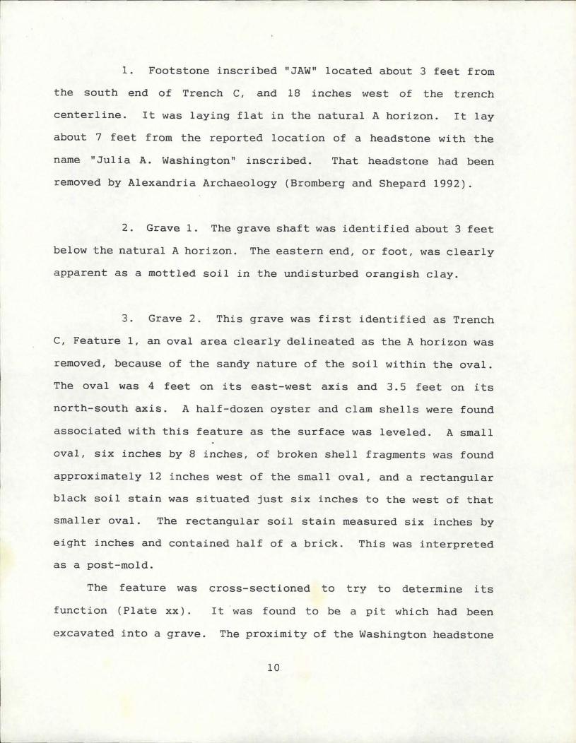
1 Footstone inscribed JAW located about 3 feet from
the south end of Trench C and 18 inches west of the trench
centerline It was laying flat in the natural A horizon It lay
about 7 feet from the reported location of a headstone with the
name Julia A Washington inscribed That headstone had been
removed by Alexandria Archaeology Bromberg and Shepard 1992
2 Grave 1 The grave shaft was identified about 3 feet
below the natural A horizon The eastern end or foot was clearly
apparent as a mottled soil in the undisturbed orangish clay
3 Grave 2 This grave was first identified as Trench
C Feature 1 an oval area clearly delineated as the A horizon was
removed because of the sandy nature of the soil within the oval
The oval was 4 feet on its eastwest axis and 35 feet on its
northsouth axis A halfdozen oyster and clam shells were found
associated with this feature as the surface was leveled A small
oval six inches by 8 inches of broken shell fragments was found
approximately 12 inches west of the small oval and a rectangular
black soil stain was situated just six inches to the west of that
smaller oval The rectangular soil stain measured six inches by
eight inches and contained half of a brick This was interpreted
as a post mold
The feature was cross sectioned to try to determine its
function Plate xx It was found to be a pit which had been
excavated into a grave The proximity of the Washington headstone
10
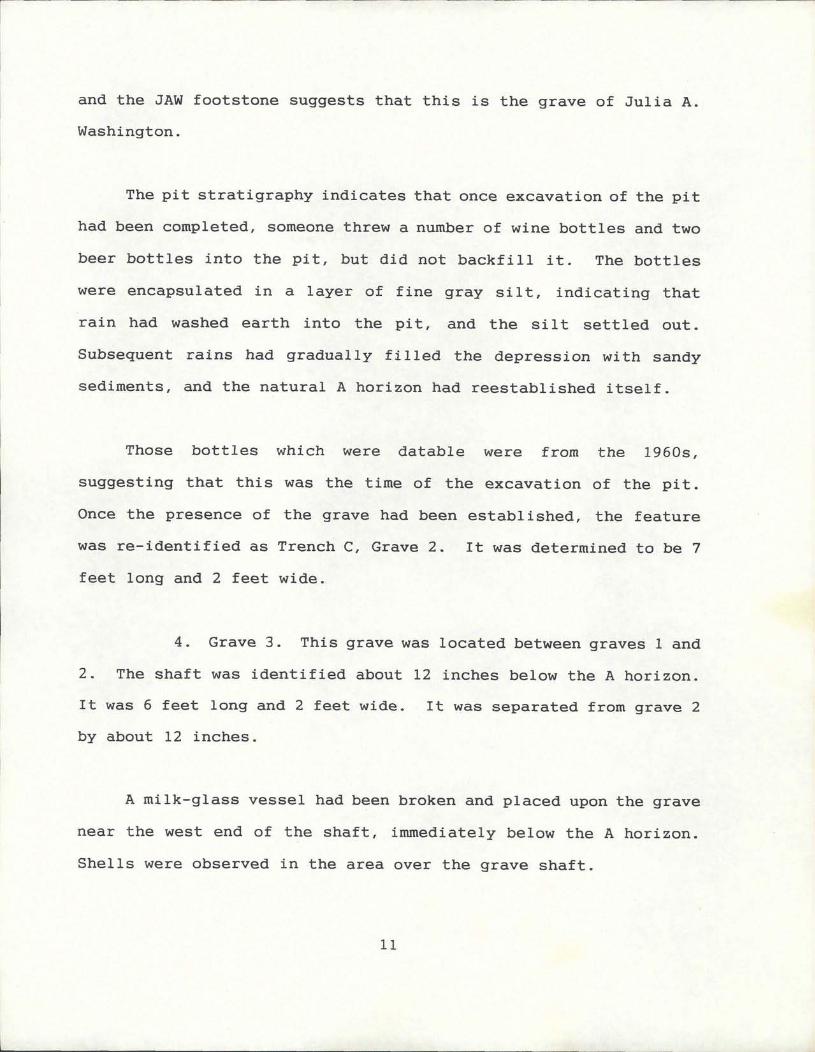
and the JAW footstone suggests that this is the grave of Julia A
Washington
The it strati ra h indicates that onceg p y o ce excavation of the pit
had been completed someone threw a number of wine bottles and two
beer bottles into the pit but did not backfill it The bottles
were encapsulated in a layer of fine gray silt indicating that
rain had washed earth into the pit and the silt settled out
Subsequent rains had gradually filled the depression with sandy
sediments and the natural A horizon had reestablished itself
Those bottles which were datable were from the 1960s
suggesting that this was the time of the excavation of the pit
Once the presence of the grave had been established the feature
was re identified as Trench C Grave 2 It was determined to be 7
feet long and 2 feet wide
4 Grave 3 This grave was located between graves 1 and
2 The shaft was identified about 12 inches below the A horizon
It was 6 feet long and 2 feet wide It was separated from grave 2
by about 12 inches
A milkglass vessel had been broken and placed upon the grave
near the west end of the shaft immediately below the A horizon
Shells were observed in the area over the grave shaft
11
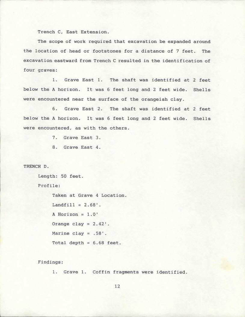
Trench C East Extension
The scope of work required that excavation be expanded aroundq p a nd
the location of head or footstones for a distance of 7 feet The
excavation eastward from Trench C resulted in the identification of
four graves
I Grave East I The shaft was identified at 2 feet
below the A horizon It was 6 feet long and 2 feet wide Shells
were encountered near the surface of the orangeish clay
6 Grave East 2 The shaft was identified at 2 feet
below the A horizon It was 6 feet long and 2 feet wide Shells
were encountered as with the others
7 Grave East 3
8 Grave East 4
TRENCH D
Length 50 feet
Profile
Taken at Grave 4 Location
Landfill 268
A Horizon 10
Orange clay 242
Marine clay 58
Total depth 668 feet
Findings
1 Grave 1 Coffin fragments were identified
12
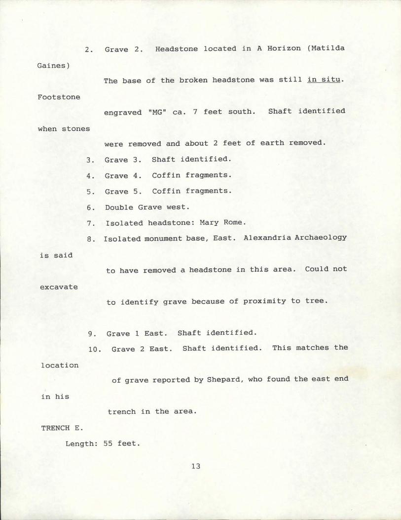
2 Grave 2 Headstone located in A Horizon Matilda
Gaines
The base of the broken headstone was still in situ
Footstone
engraved MG ca 7 feet south Shaft identified
when stones
were removed and about 2 feet of earth removed
3 Grave 3 Shaft identified
4 Grave 4 Coffin fragments
5 Grave 5 Coffin fragments
6 Double Grave west
7 Isolated headstone Mary Rome
8 Isolated monument base East Alexandria Archaeology
is said
to have removed a headstone in this area Could not
excavate
to identify grave because of proximity to tree
9 Grave 1 East Shaft identified
10 Grave 2 East Shaft identified This matches the
location
of grave reported by Shepard who found the east end
in his
trench in the area
TRENCH E
Length 55 feet
13
Profile
Taken 9 feet from EN stake
Brown silty loam top soil root mass 4
Mottled orange clay brown silty loam root mass 5
Orange marine clay 11
Whitishgray marine clay 16
Total depth 36feet
Findings
1 Grave 1 Coffin fragments
2 Grave 2 Coffin fragments
3 Footstone engraved CH found in backfill while
trenching here
TRENCH F
Length 121 feet
Profile
Taken 4 feet south of FN stake
Landfill 40
A Horizon 3
Orange mottled clay 29
Marine Clay 10
Total depth 82 feet
Findings
1 Grave 1 Coffin fragments
2 Grave 2 Coffin fragments
14
3 Grave 3 Coffin fragments Casket hardware a
handle
bracket Plate xx
4 Grave 4 Coffin fragments
5 Grave 5 Coffin fragments
6 Grave 1 East Shaft identified
7 Grave 2 East Shaft identified
TRENCH G This trench could not be excavated because protected
trees would have been destroyed
TRENCH H
Length 50 feet
Profile
Taken 6 feet from HS stake
Thickness of landfill 8 feet
Thickness of A Horizon 33 feet
Thickness of Orange clay 116 feet
Marine Clay 183
Total depth 1134
Findings No graves were identified in this area
TRENCH I
Length 40 feet
Profile
Taken 12 from north end
15
Thickness of Landfill 26
Thickness of A Horizon 004
Thickness of Orange 22
Total depth 52 feet
Findings No graves were identified in this area
TRENCH J
Length 80 feet
Profile
Taken 16 feet north of JS stake
Landfill thickness 107
A Horizon thickness 5
Orange Thickness 15
Marine clay 20
Total depth of trench 147
Findings No graves were identified in this area
TRENCH K
Length 50 feet
Profile
Taken 3 feet south of KN stake
Top of fill 64 feet
Landfill thickness 26
A Horizon thickness 11
Orange clay thickness 09
16
Marine clay thickness 18
Total depth 64 feet
Findings No graves were located in this unit
PROPERTY LINE TRENCH
Length 60 feet
Profile
Taken at east end of trench
Landfill thickness 1369
Thickness of A Horizon 91 feet
Thickness of Orange Clay 361
Total depth of trench 1921
Findings No graves were located in this unit
Feature 1
A feature composed of gravel and cobbles was encountered
115 feet west of the east end of the trench and at a depth of
about 45 feet below the surface of the buried Natural A Horizon
It appeared to be between one and two feet thick and extended for
a distance of about twelve feet The function of this feature
could not be determined but it is likely that it is associated
with earlier use of the property since the Hopkins Map 1887
shows three buildings to the north of the present cemetery site
When the fieldwork was completed all headstones and footstones
were put in storage for safe keeping until City Planning efforts
are completed All other artifacts and shells were returned to the
17
graves where they were found A wooden post was set at the head of
each grave and a piece of plastic sheeting laid down to cover the
grave and aid in identifying its location before covering them with
earth to protect them
All records maps fieldnotes and photographs related to this
project are curated in the offices of Tellus Consultants in
Minneapolis Minnesota
18
CONCLUSIONS
Research has demonstrated that the Baptist Cemetery
Association did establish a cemetery on land acquired in 1885
Twenty eight interments occured identified by grave shafts coffin
fragments and hardware Five individuals have been identified due
to the recovery of headstones providing names and dates of death
Sarah Hunter 24 December 1896 Abraham Hunter 22 October
1891 Julia Ann Washington 21 February 1890 Mary Rome 15
January 1899 and Matilda Gaines 23 September 1897
Landform
The information obtained through test borings trenching and
historical research indicates that the original landform between
Hooffs Run and Taylor Run formed a broad terrace which stepped
gently down from an elevation of about 25 feet above sea level
south toward HuntersRun The valley slopes for Taylor Run and
HooffsRun modified the west and east ends of the terrace The
general appearance of the landform is apparent in the Civil War era
photographs reproduced and displayed before the Masonic National
Memorial Although certainly modified by construction demolition
and grading the land retained that general form until the first
half of the 1960s when it was used as a land fill by the City
That landfill appears to have created a deposit of debris which
begins at the railroad track area on the northern edge one to two
feet of ballast and becmes increasingly deep to the south At
19
MORTUARY TRADITIONS
Christian cemetery design most commonly requires that the
deceased be intered with feet to the east head to the west so as
to face the anticipated Judgement Day Sunrise This cemetery
follows that tradition except that the graves were generally
oriented along a 300 degree azimuth putting the head 30 degrees
north of an eastwest line The primary concentration of graves
appear to reflect the layout of four parallel rows Family
groupings are suggested by differences in proximity Where a
number are found together as in Trench C group Trench F and
Trench D the spacing between graves was commonly about one foot
That is the interval commonly used in family plots today Probes
may be used to determine the location of existing graves enabling
the gravediggers to maintain the one foot spacing Kuba 1992
Personal Communication The graves reflect the use of the simple
wooden caskets prior to the introduction of concrete vaults after
the turn of the Century They were two feet wide and between six
and seven feet in length whereas graves are now normally three
feet wide and nine feet long One grave C3 East was only five
feet in length and is presumed to have been that of a child
Perhaps the most interesting custom observed during the
identification of graves was that of placing oyster shell or clam
shell upon the surface of graves In virtually every instance
ADD FINDINGS ON AFRICAN MORTUARY TRADITIONS
RECOMMENDATIONS
No activity should be approved which requires removal of the
21
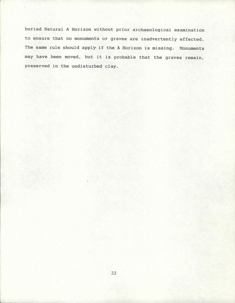
buried Natural A Horizon without prior archaeological examination
to ensure that no monuments or graves are inadvertently effected
The same rule should apply if the A Horizon is missing Monuments
may have been moved but it is probable that the graves remain
preserved in the undisturbed clay
22
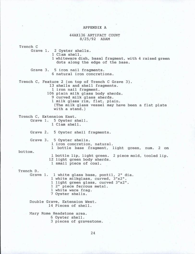
APPENDIX A
44AX136 ARTIFACT COUNT
82592 ADAM
Trench C
Grave 1 2 Oyster shells1 Clam shell
1 whiteware dish basal fragment with 4 raised greendots along the edge of the base
Grave 3 5 iron nail fragments6 natural iron concretions
Trench C Feature 2 on top of Trench C Grave 313 shells and shell fragments
1 iron nail fragment106 plain milk glass body sherds
9 curved milk glass sherds1 milk glass rim flat plainThe milk glass vessel may have been a flat platewith a stand
Trench C Extension East
Grave 1 5 Oyster shell1 Clam shell
Grave 2 5 Oyster shell fragments
Grave 3 5 Oyster shells1 iron concretion natural
1 bottle base fragment light green num 2 on
bottom
1 bottle lip light green 2 piece mold tooled lip12 light green body sherds
1 small piece of coal
Trench D
Grave 1 1 white glass base pontil 2 dia
1 white milkglass curved 3x2
1 light green glass curved 3x2
1 2 piece ferrous metal1 white ware frag7 Oyster shells
Double Grave Extension West
14 Pieces of shell
Mary Rome Headstone area6 Oyster shell3 pieces of gravestone
24
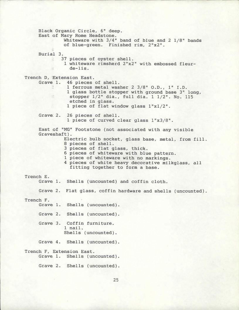
Black Organic Circle 6 deepEast of Mary Rome Headstone
Whiteware with 34 band of blue and 2 18 bandsof blue green Finished rim 2x2
Burial 3
37 pieces of oyster shell1 whiteware rimsherd 2 x2 with embossed fleurdelis
Trench D Extension EastGrave 1 46 pieces of shell
1 ferrous metal washer 2 38 OD 1ID
1 glass bottle stopper with ground base 3 longstopper 12 dia full dia 1 12 No 115
etched in glass1 piece of flat window glass 1 xl2
Grave 2 26 pieces of shell1 piece of curved clear glass 1 x38
East of MG Footstone not associated with any visibleGraveshaft
Electric bulb socket glass base metal from fill
8 pieces of shell3 pieces of flat glass thick
6 pieces of whiteware with blue pattern1 piece of whiteware with no markings4 pieces of white heavy decorative milkglass all
fitting together to form a base
Trench E
Grave 1 Shells uncounted and coffin cloth
Grave 2 Flat glass coffin hardware and shells uncounted
Trench F
Grave 1 Shells uncounted
Grave 2 Shells uncounted
Grave 3 Coffin furniture
1 nail
Shells uncounted
Grave 4 Shells uncounted
Trench F Extension East
Grave 1 Shells uncounted
Grave 2 Shells uncounted
25
APPENDIX B
ARTIFACT INVENTORY
Feature 1
J Lebio 82592
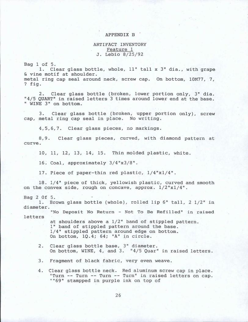
Bag 1 of 51 Clear glass bottle whole 11 tall x 3 dia with grape
vine motif at shoulder
metal ring cap seal around neck screw cap On bottom 10M77 7fig
2 Clear glass bottle broken lower portion only 3 dia
45 QUART in raised letters 3 times around lower end at the baseWINE 3 on bottom
3 Clear glass bottle broken upper portion only screw
cap metal ring cap seal in place No writing
4567 Clear glass pieces no markings
89 Clear glass pieces curved with diamond pattern at
curve
10 11 12 13 14 15 Thin molded plastic white
16 Coal approximately 34x38
17 Piece of paper thin red plastic 14xl4
18 14 piece of thick yellowish plastic curved and smoothon the convex side rough on concave approx 12 xl4
Bag 2 Of 51 Brown glass bottle whole rolled lip 6 tall 2 12 in
diameter
No Deposit No Return Not To Be Refilled in raised
letters
at shoulders above a 12 band of stippled pattern1 band of stippled pattern around the base14 stippled pattern around edge on bottomOn bottom 1Q4 64 A in circle
2 Clear glass bottle base 3 diameterOn bottom WINE 4 and 3 45 Quar in raised letters
3 Fragment of black fabric very even weave
4 Clear glass bottle neck Red aluminum screw cap in placeTurn Turn Turn Turn in raised letters on cap69 stampped in purple ink on top of
26
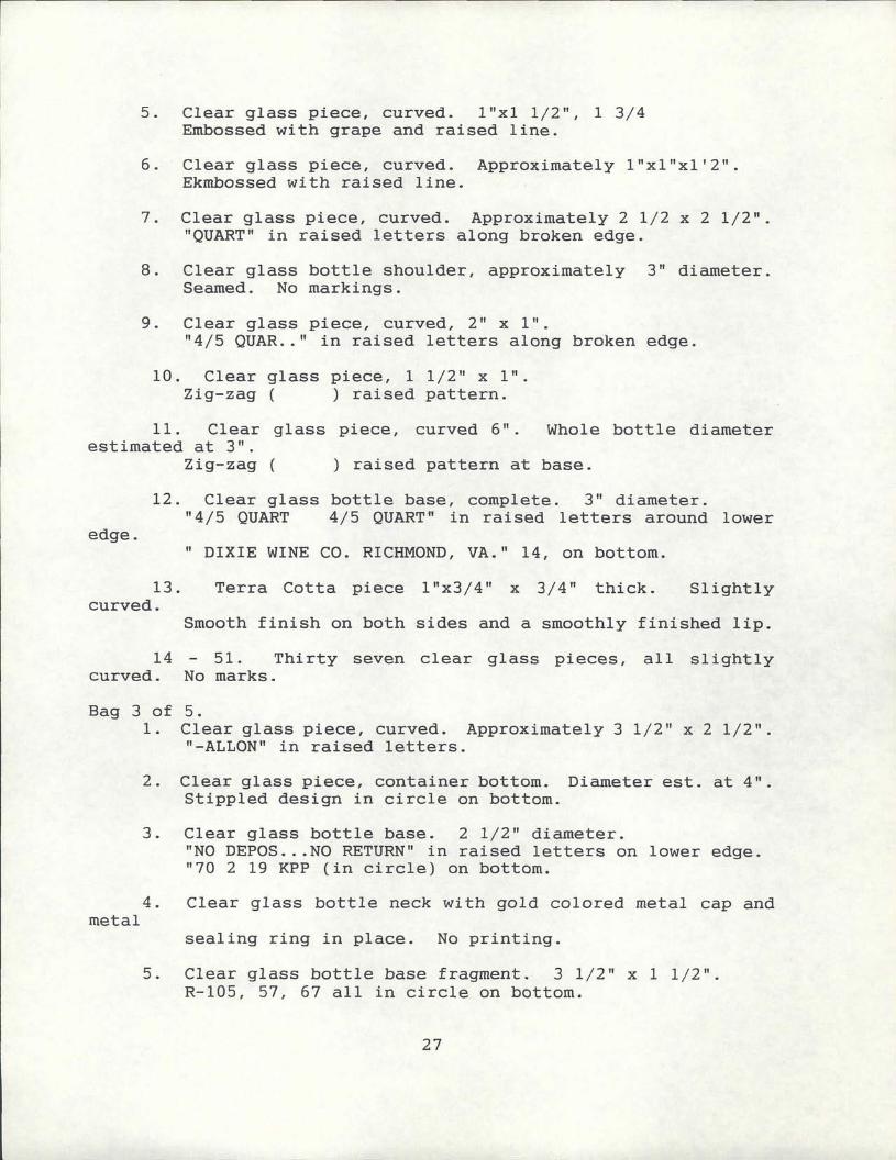
5 Clear glass piece curved 1 xl 12 1 34Embossed with grape and raised line
6 Clear glass piece curved Approximately 1 xlx12Ekmbossed with raised line
7 Clear glass piece curved Approximately 2 12 x 2 12QUART in raised letters along broken edge
8 Clear glass bottle shoulder approximately 3 diameterSeamed No markings
9 Clear glass piece curved 2 x 1
45 QUAR in raised letters along broken edge
10 Clear glass piece 1 12 x 1Zigzag raised pattern
11 Clear glass piece curved 6 Whole bottle diameterestimated at 3
Zigzag raised pattern at base
12 Clear glass bottle base complete 3 diameter45 QUART 45 QUART in raised letters around lower
edgeDIXIE WINE CO RICHMOND VA 14 on bottom
13 Terra Cotta piece 1 x34 x 34 thick Slightlycurved
Smooth finish on both sides and a smoothly finished lip
14 51 Thirty seven clear glass pieces all slightlycurved No marks
Bag 3 of 51 Clear glass piece curved Approximately 3 12 x 2 12
ALLON in raised letters
2 Clear glass piece container bottom Diameter est at 4
Stippled design in circle on bottom
3 Clear glass bottle base 2 12 diameterNO DEPOSNO RETURN in raised letters on lower edge70 2 19 KPP in circle on bottom
4 Clear glass bottle neck with gold colored metal cap andmetal
sealing ring in place No printing
5 Clear glass bottle base fragment 3 12 x 1 12R105 57 67 all in circle on bottom
27
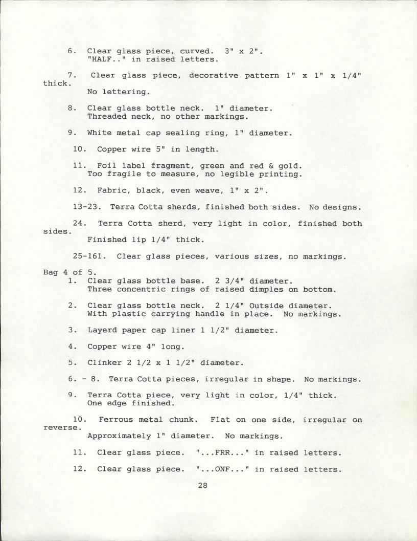
6 Clear glass piece curved 3 x 2HALF in raised letters
7 Clear glass piece decorative pattern 1 x 1 x 14thick
No lettering
8 Clear glass bottle neck 1 diameter
Threaded neck no other markings
9 White metal cap sealing ring 1 diameter
10 Copper wire 5 in length
11 Foil label fragment green and red goldToo fragile to measure no legible printing
12 Fabric black even weave 1 x 2
1323 Terra Cotta sherds finished both sides No designs
24 Terra Cotta sherd very light in color finished bothsides
Finished lip 14 thick
25161 Clear glass pieces various sizes no markings
Bag 4 of 51 Clear glass bottle base 2 34 diameter
Three concentric rings of raised dimples on bottom
2 Clear glass bottle neck 2 14 Outside diameterWith plastic carrying handle in place No markings
3 Layerd paper cap liner 1 12 diameter
4 Copper wire 4 long
5 Clinker 2 12 x 1 12 diameter
6 8 Terra Cotta pieces irregular in shape No markings
9 Terra Cotta piece very light in color 14 thickOne edge finished
10 Ferrous metal chunk Flat on one side irregular onreverse
Approximately 1 diameter No markings
11 Clear glass piece FRR in raised letters
12 Clear glass piece ONF in raised letters
28
13 Clear glass jug Neck shoulder and loop handleThreaded neck
is 1 78 Outside Diameter HALF In raised letter onshoulder
GALLO on other side of shoulder fragment
14 Clear glass bottle neck White plastic screw cap in
place1 diameter No markings
29
l y
z41
P
qi
67i
44
Ai40tly
1r
f
tt
f1
r
f
1rfir
110
tr
tiX
pyr
3x
Ji1
kzln
OR
314
tY
96w
t4
SSrt
riar
i40
15
kA
4eit
irc
L4e
I
rir
ta
ll 1471q4rt
Jr4
tp
F1
rs
a
NL
t4
6i
It
sa
mY3P
Lkw
S1
MfKi1
al
it
yofi
i11s3
4Ht
pea4k
tIi
4vs
14p
AAt
gN1
11i
at
I9s
hti
tti
iU0
Idyl
3C
4t
Tdv
41
1x
y4
srt
a4
Ai
9It
afl
Yas
1d
ar1
Ymr
3itV
4s
lit401R
YsHr
is
i1
iF
Mti
1Q
nbs
lrt
uy
1g
t9
00st
4cISS
J
4ttt
tI
f4
4K
ajyp
4fl
t4tsd
71aY
ra6e
YIf
TuI
V5yLAI
1
rtt3fir
11
C1
rJ
Irn
1AN
IIIIIl
iI
Q
1
I
sk1
iMai
llit1
QN
61
C1
Ek1
ern
w
saai
wa
wu
AV
l1
1t3
3
sj
Iu
I ri 1I
t
0
iti
Iiiri
c
ow
r4I
v
at
Y 1
l1
4qkat
4 nrti
i
0000000
0010000
00000000
i 1
I
0f