Embed Size (px)
Citation preview
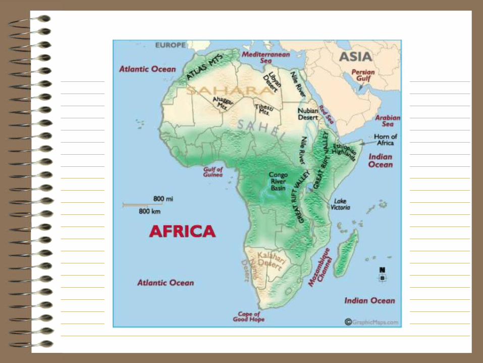
The Geography of Africa
2.7.12
Main Ideas
• Fertile soil along the Nile River encouraged the rise of great civilizations (ex. Egypt)
• Many geographic features in Africa have prevented contact, trade & unity among peoples
• Many of these same features limit European knowledge of Africa “the Dark Continent”
Physical Geography
• PHYSICAL FEATURES
• Sahara Desert• smooth coastline• lack of navigable
rivers• Great Rift Valley• high plateau
• RESULT• Groups are kept
separate • 800 different
languages are spoken in modern Africa

More Physical Features
• Lake Victoria
• Lake Tanganyika
Diversity leads to Imperialism
• Raw materials and resources lead to European interest in Africa
• Africa’s geographical divisions prevents the Africans from cooperating to resist
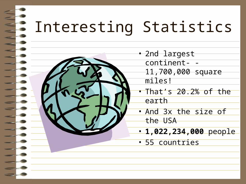
Interesting Statistics
• 2nd largest continent- - 11,700,000 square miles!
• That’s 20.2% of the earth
• And 3x the size of the USA
• 1,022,234,000 people• 55 countries
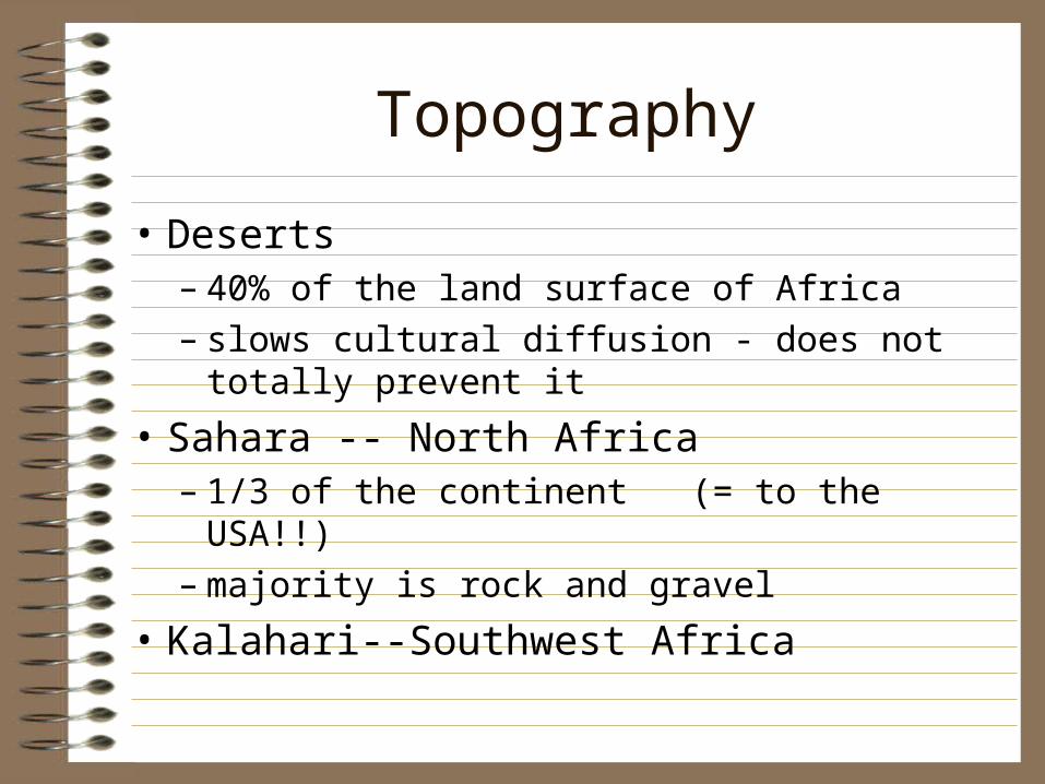
Topography
• Deserts– 40% of the land surface of Africa– slows cultural diffusion - does not totally
prevent it
• Sahara -- North Africa– 1/3 of the continent (= to the USA!!)– majority is rock and gravel
• Kalahari--Southwest Africa
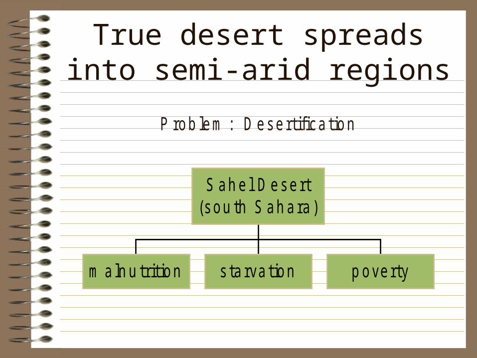
True desert spreads into semi-arid regions
P rob lem : D esertifica tion
m a ln u trit ion s ta rva tion p overty
S ah e l D esert(sou th S ah ara )
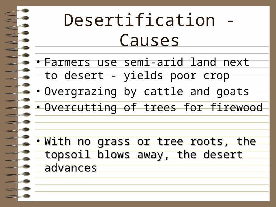
Desertification - Causes
• Farmers use semi-arid land next to desert - yields poor crop
• Overgrazing by cattle and goats
• Overcutting of trees for firewood
• With no grass or tree roots, the topsoil With no grass or tree roots, the topsoil blows away, the desert advancesblows away, the desert advances
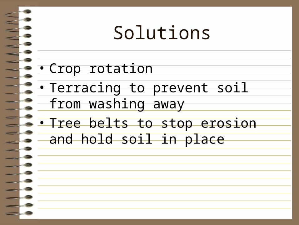
Solutions
• Crop rotation
• Terracing to prevent soil from washing away
• Tree belts to stop erosion and hold soil in place
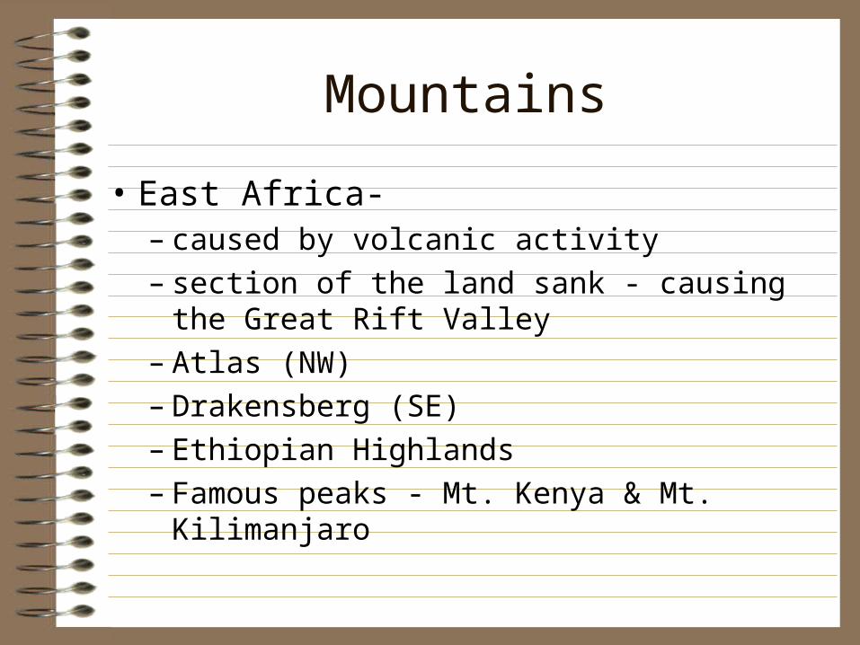
Mountains
• East Africa-– caused by volcanic activity– section of the land sank - causing the Great Rift
Valley– Atlas (NW)– Drakensberg (SE)– Ethiopian Highlands– Famous peaks - Mt. Kenya & Mt. Kilimanjaro
Rivers
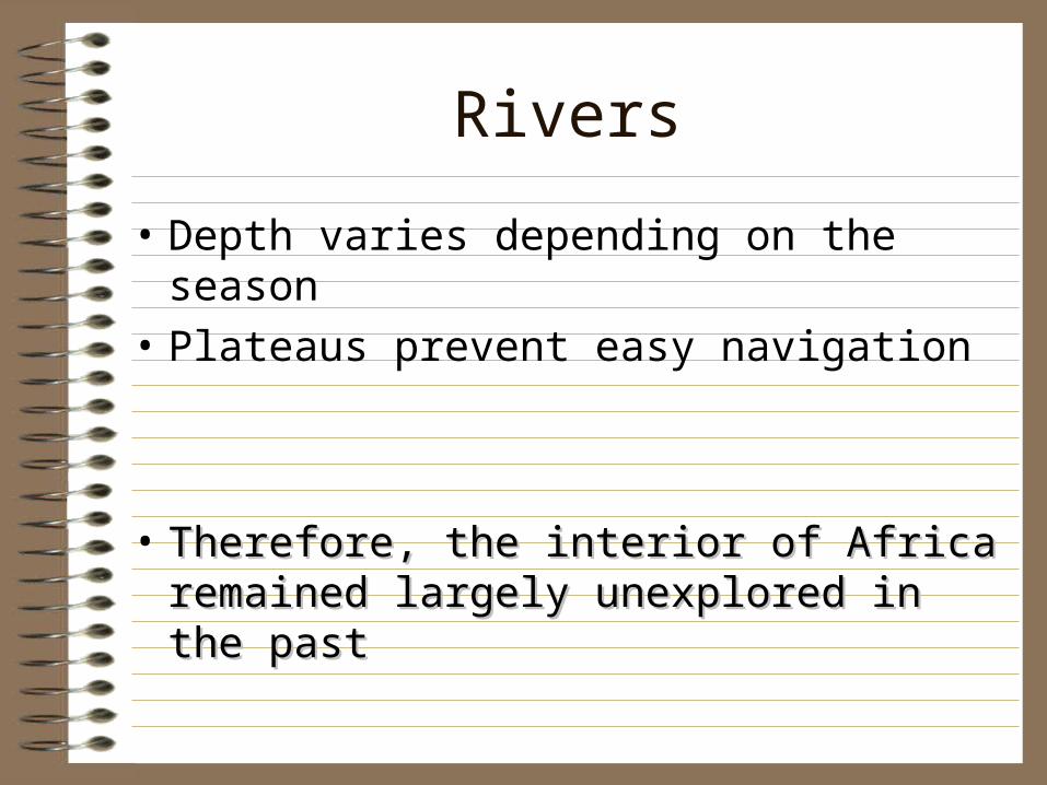
• Depth varies depending on the season
• Plateaus prevent easy navigation
• Therefore, the interior of Africa remained Therefore, the interior of Africa remained largely unexplored in the past largely unexplored in the past
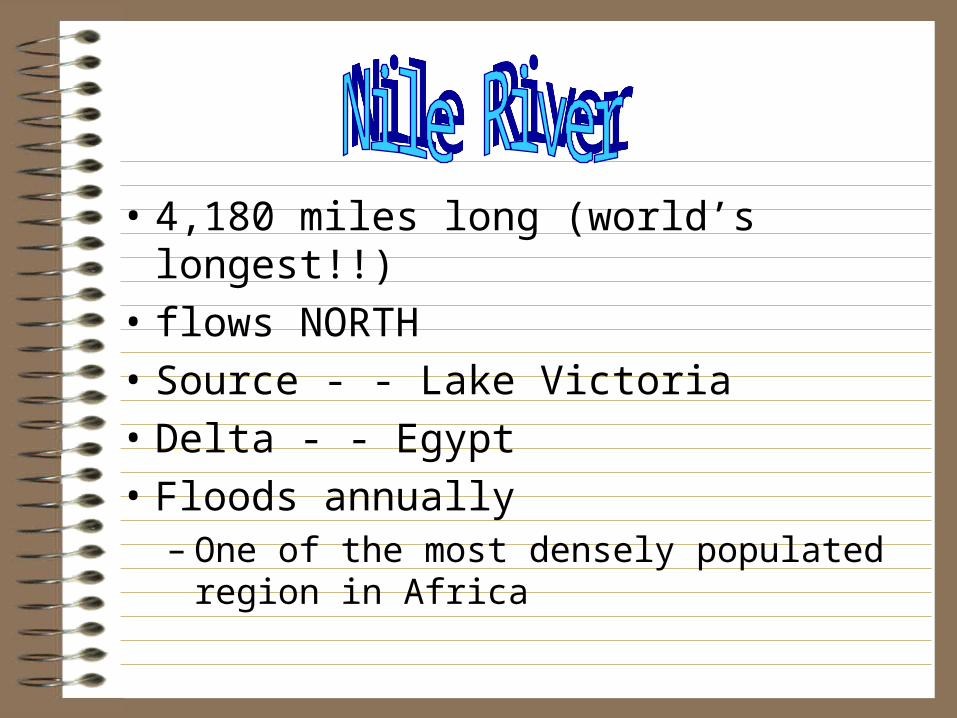
• 4,180 miles long (world’s longest!!)
• flows NORTH
• Source - - Lake Victoria
• Delta - - Egypt
• Floods annually – One of the most densely populated region in
Africa
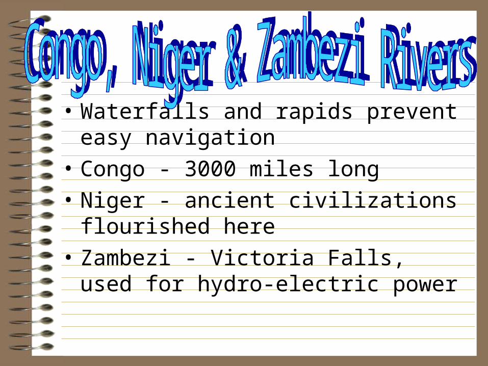
• Waterfalls and rapids prevent easy navigation
• Congo - 3000 miles long
• Niger - ancient civilizations flourished here
• Zambezi - Victoria Falls, used for hydro-electric power
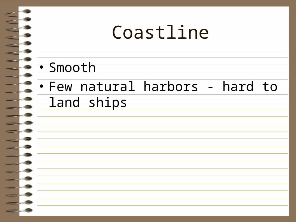
Coastline
• Smooth
• Few natural harbors - hard to land ships
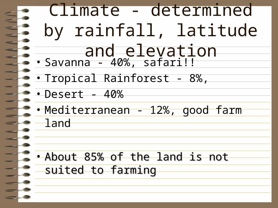
Climate - determined by rainfall, latitude and elevation
• Savanna - 40%, safari!!
• Tropical Rainforest - 8%,
• Desert - 40%
• Mediterranean - 12%, good farm land
• About 85% of the land is not suited to About 85% of the land is not suited to farmingfarming
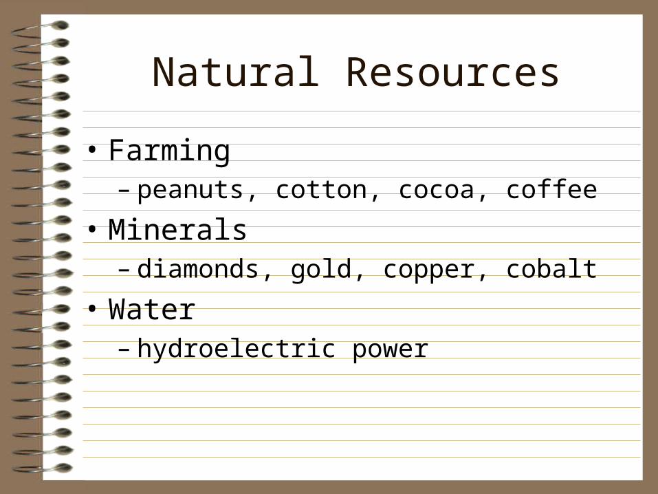
Natural Resources
• Farming– peanuts, cotton, cocoa, coffee
• Minerals– diamonds, gold, copper, cobalt
• Water– hydroelectric power

Features to Remember
• I watch CNN on TV in the AM.
Rivers:
• C: CONGO
• N: NIGER
• N: NILE
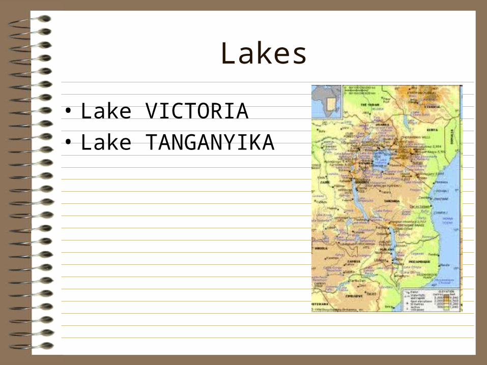
Lakes
• Lake VICTORIA
• Lake TANGANYIKA
Mountains
• Atlas Mountains