Embed Size (px)
Citation preview
Introducing QGIS
Matteo Mazzucato
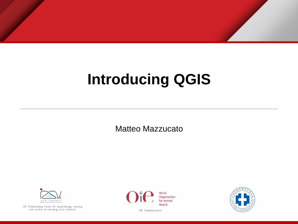
Overview
• Type of GIS software
• GIS software main functionalities
• QGIS
• Documentation

Types of GIS software
COTS GIS:
Commercial off-the-shelf GIS software
FOSS GIS
Free and Open Source GIS

• Commercial off-the-shelf GIS software
• Distributed by a private company
• Access to the official support
• Different “level of the software” or set of functionalities
• Free and Open Source GIS
• Available for free
• Supported by the community
• The source code is available and shareable
• Functionalities are available
− In the core product
− (or) can be find for free in the community
− (or) can be developed by private company (may be under payment)
Types of GIS software
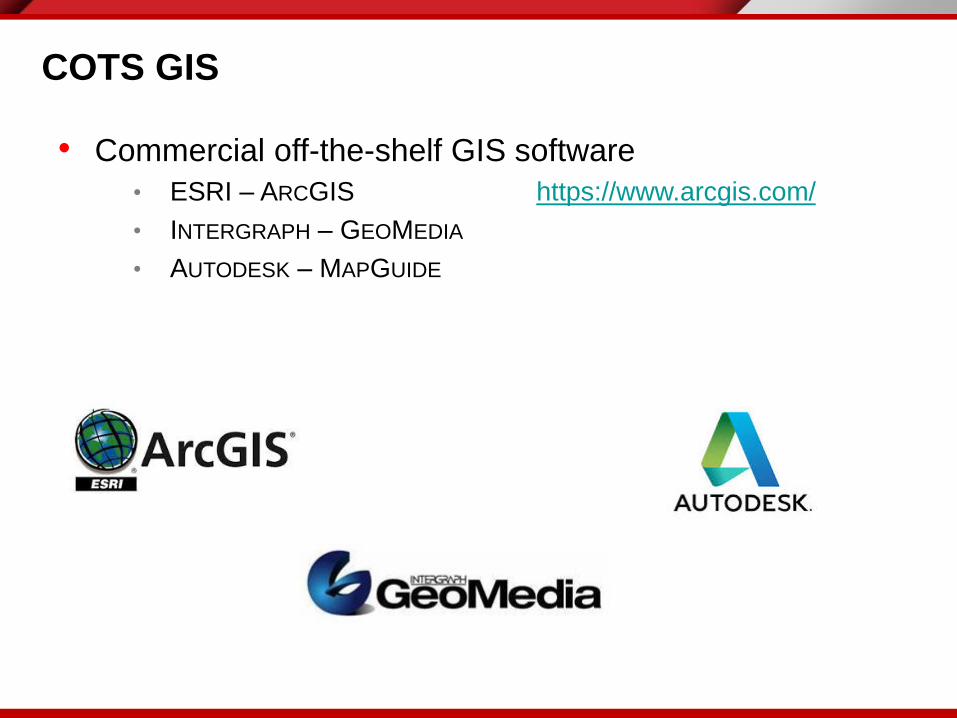
• Commercial off-the-shelf GIS software
• ESRI – ARCGIS https://www.arcgis.com/
• INTERGRAPH – GEOMEDIA
• AUTODESK – MAPGUIDE
COTS GIS
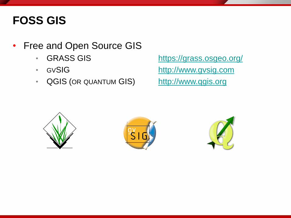
• Free and Open Source GIS
• GRASS GIS https://grass.osgeo.org/
• GVSIG http://www.gvsig.com
• QGIS (OR QUANTUM GIS) http://www.qgis.org
FOSS GIS

OSGEO
Open Source Geospatial Foundation
www.osgeo.org
Informations Tutorials References
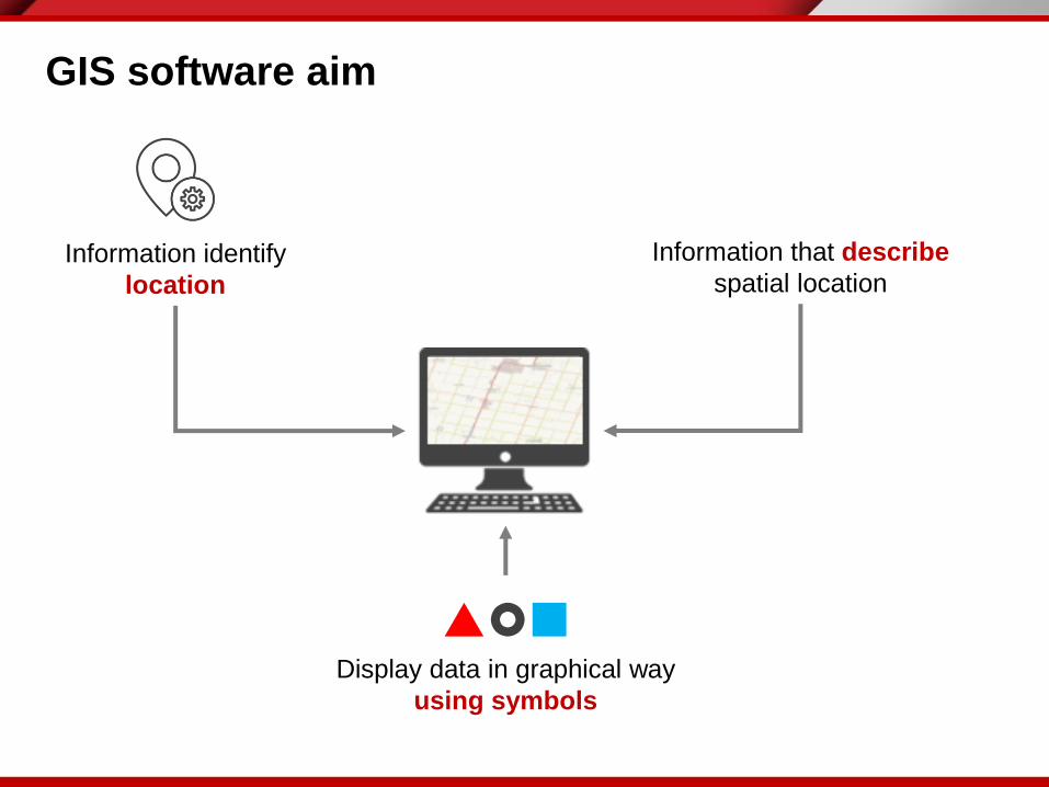
GIS software aim
Information identify
location
Information that describe
spatial location
Display data in graphical way
using symbols

The main GIS functionalities
• Capture/edit spatial data
• Manage the spatial data and no-spatial data
• Query and analyse data
• Geoprocessing
• Map presentation

Geoprocessing
• Overlay
• Intersection
• Distances
• Proximity (Buffer)
=

Map presentation
• Maps
• Graphs
• Tables and reports
• All of them

• One of the most used GIS software in the world
• Free
• Intuitive mapping interface and quite simple to use
• Strong community
• Plug-ins

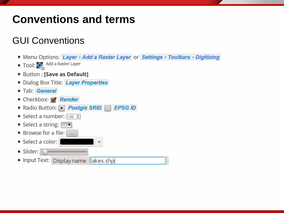
Conventions and terms
GUI Conventions
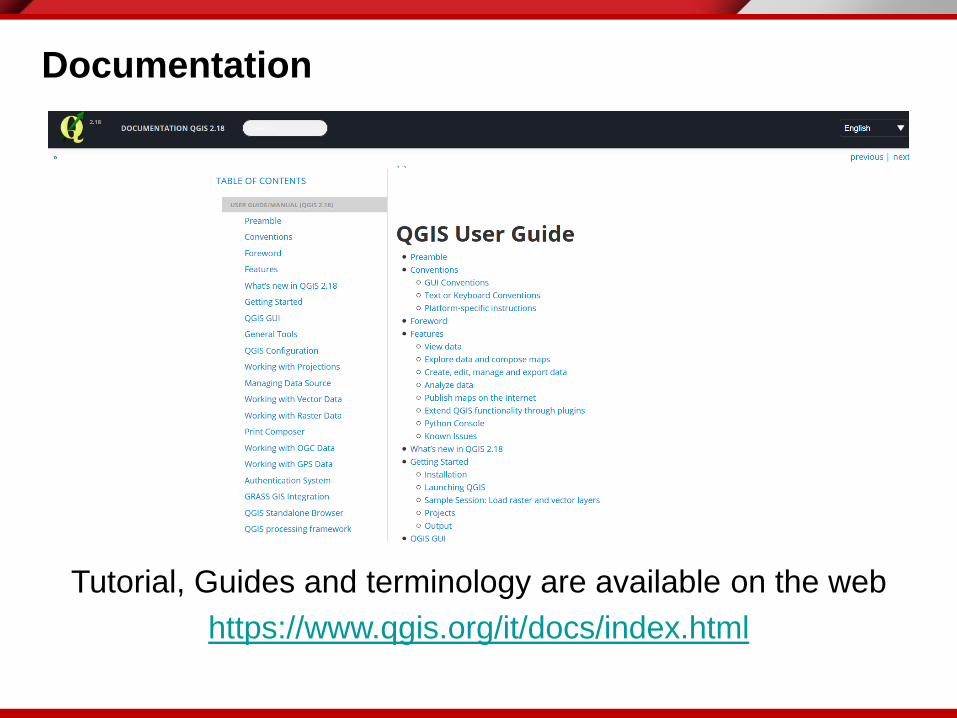
Documentation
Tutorial, Guides and terminology are available on the web
https://www.qgis.org/it/docs/index.html

Practical Exercise (1.6)
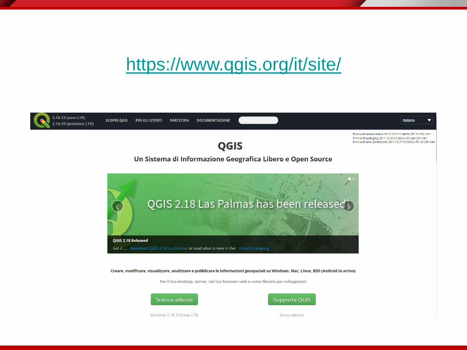
• Access to the QGIS website (https://www.qgis.org/it/site/)
• Download the last version of the software (#2.18)
• Install QGIS on your pc/laptop
• Open the documentation on the website