Embed Size (px)
Citation preview
The U.S. and Canada

Toronto, Ontario
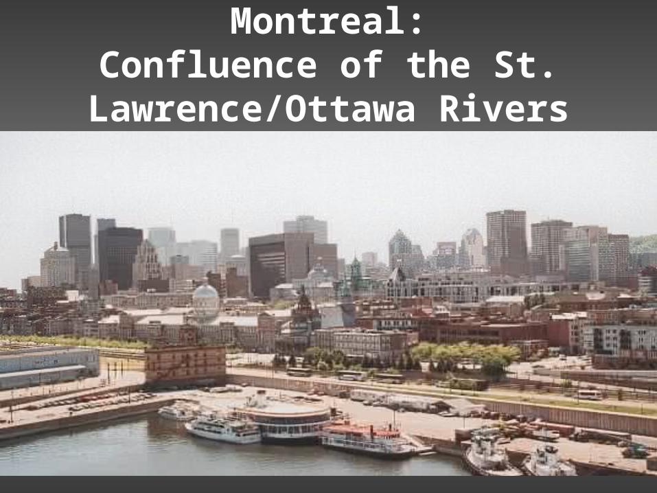
Montreal:Confluence of the St.
Lawrence/Ottawa Rivers
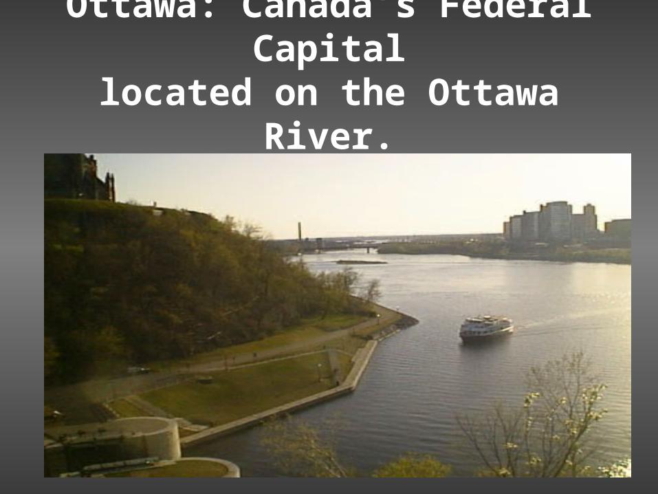
Ottawa: Canada’s Federal Capital
located on the Ottawa River.

Canadian Parliament(Legislature)

Washington, D.C.The U.S. Federal Capital.
The Senate and the House

Chicago, Illinois

Chicago: on the shores of Lake Michigan
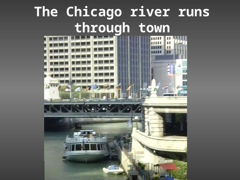
The Chicago river runs through town
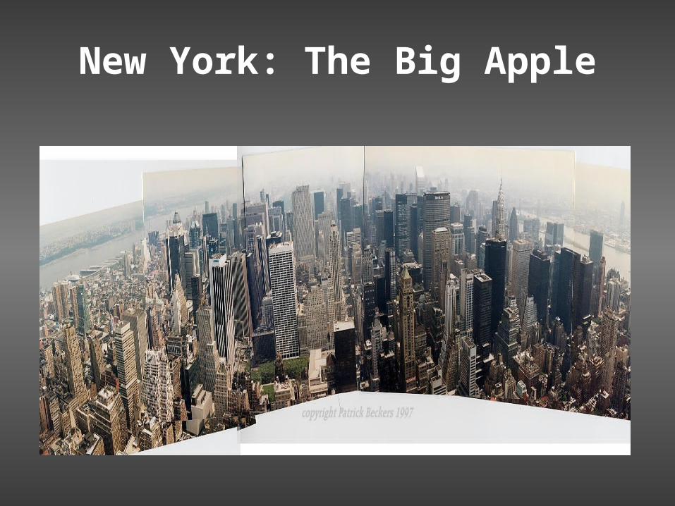
New York: The Big Apple
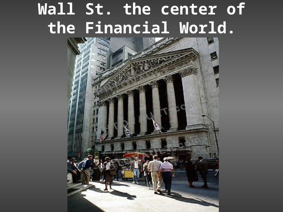
Wall St. the center of the Financial World.

The Bulls and the Bears
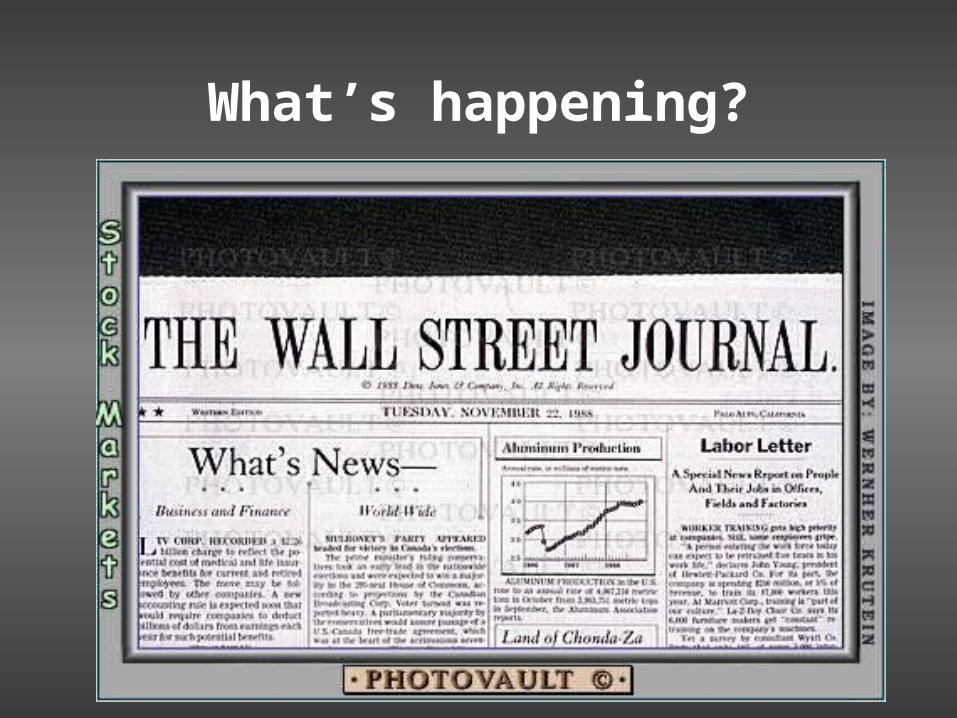
What’s happening?
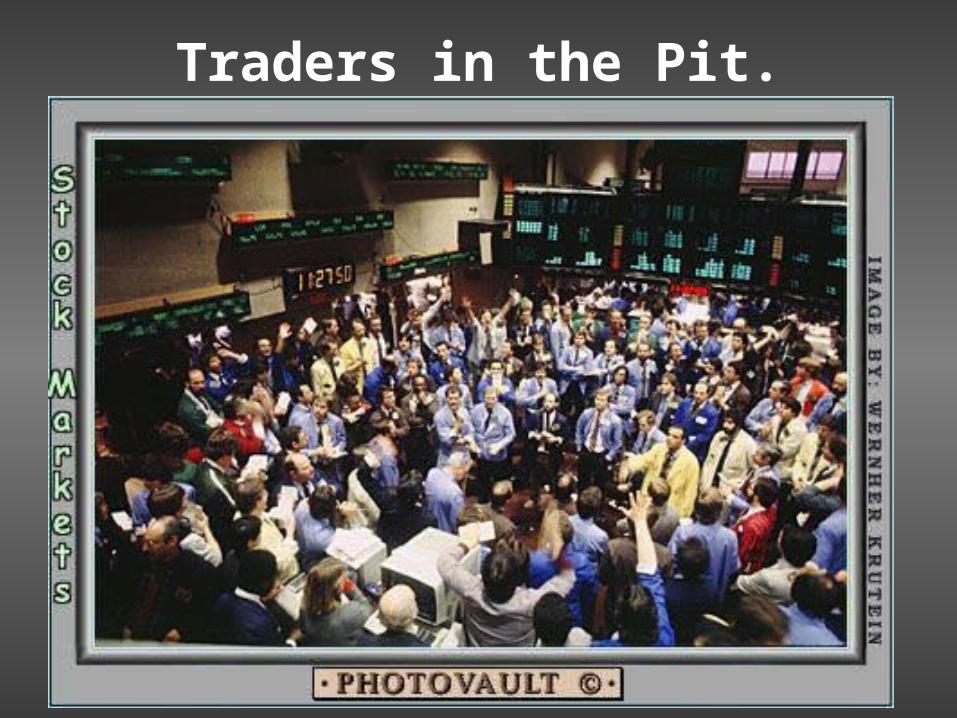
Traders in the Pit.

Los Angeles, California

Los Angeles: Harbor

Los Angeles: Sunny Days at the beach.

Houston,Texas: We built this city on oil and cattle $.
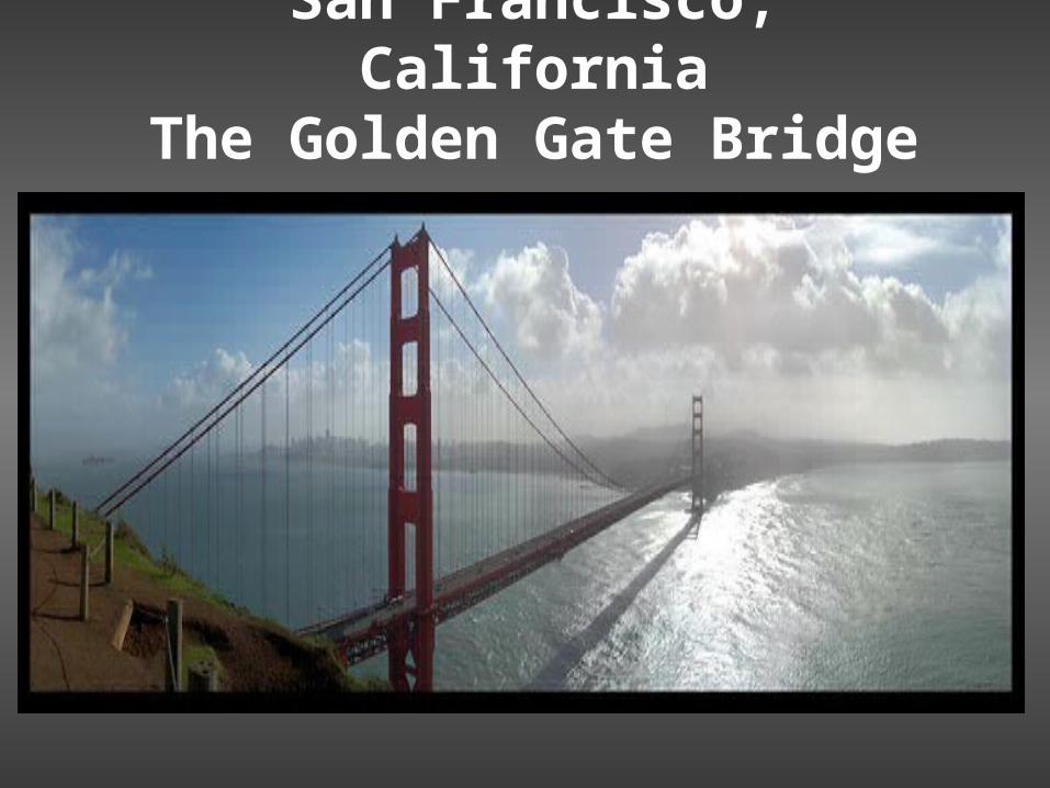
San Francisco, CaliforniaThe Golden Gate Bridge
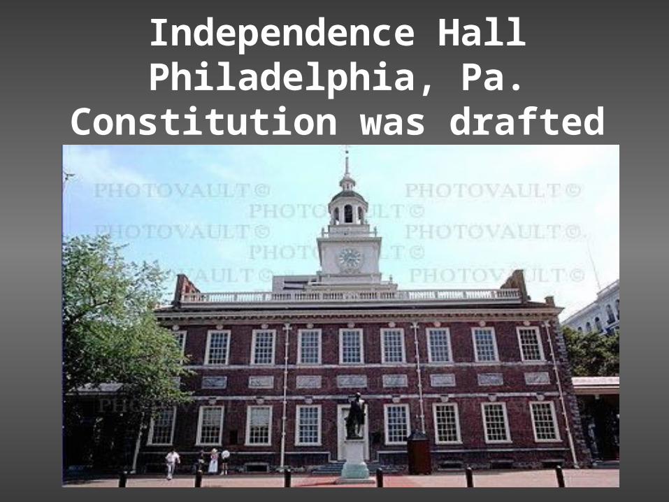
Independence HallPhiladelphia, Pa.
Constitution was drafted
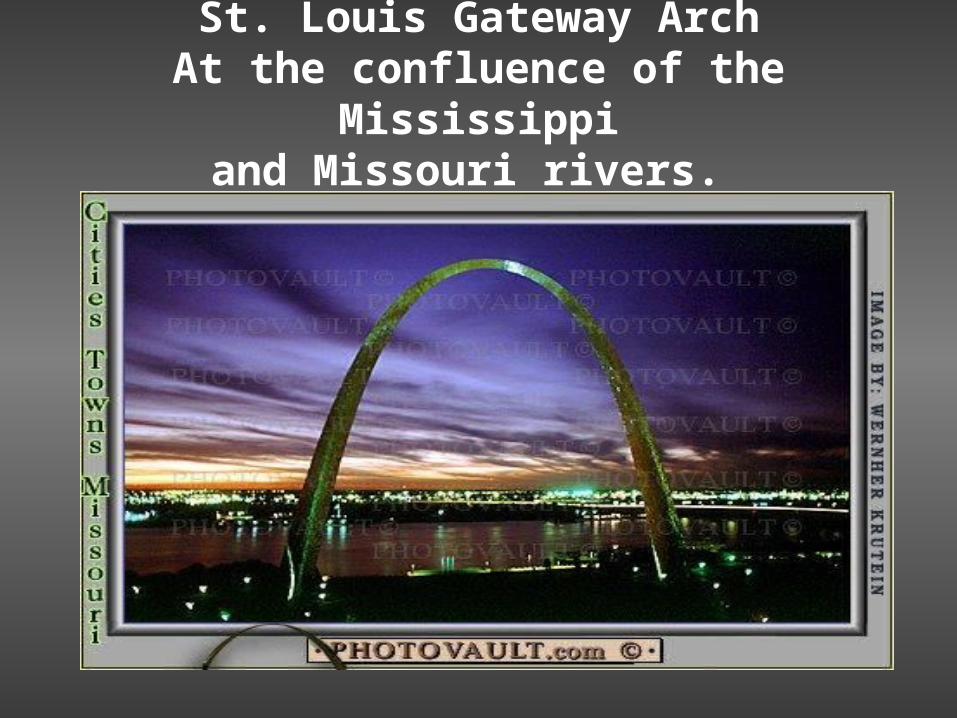
St. Louis Gateway ArchAt the confluence of the Mississippi
and Missouri rivers.

Wheat fields of the mid-west.Americas breadbasket.
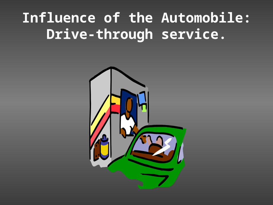
Influence of the Automobile:Drive-through service.

Influence of the Automobile: Interstates.
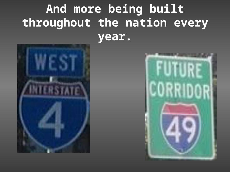
And more being built throughout the nation every year.

The United States is a multi-cultural society

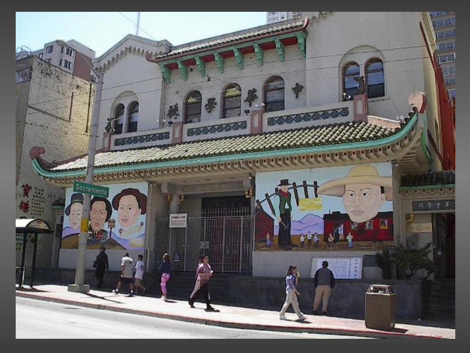
Chinatown in San Francisco

Chinatown: A Bank

Fortune Cookie Factory

French Quarter in New Orleans, La.
Bourbon St.
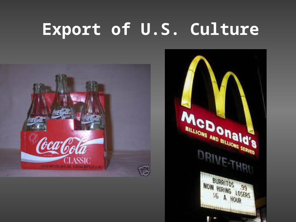
Export of U.S. Culture
Chapter 5
Physical Geography of The United States & Canada

• Rocky Mountains– The other major mountain range in the U.S. &
Canada. It extends 3,000 miles from Alaska to New Mexico.
• Appalachian Mountains– One of the major mountain ranges in North
America. Extends 1,600 miles from Newfoundland, Canada to Alabama

• Canadian Shield– Covers 2 million miles in Canada around
Hudson Bay
• Fall Line– The place where the higher land of the
Piedmont drops to the Lower Atlantic Coastal Plain
*****(Richmond, VA) is on the Fall Line

• The Great Lakes– Lake Huron, Ontario, Michigan, Erie and
Superior.– Found in the northern part of the U.S. and the
southern part of Canada

• Continental Divide– The line of the highest points in the Rocky
Mountains. Marks the difference between rivers that flow east and those that flow west.

• Mackenzie River– Canada’s longest river. Flows across the
Northwest Territories.

• Great Plains– A treeless region in the central portion of the
United States

• Permafrost– Permanently frozen ground

• Everglades– A huge swampland in Florida, that covers
4,000 square miles.

• Nomads– People who move from place to place.

• Beringia– A land bridge that once connected Siberia and
Alaska.

• St. Lawrence Seaway– North America’s most important deep water
shipping route.

• Locks– Sections of waterways with closed gates
where water levels are raised and lowered.

• New England– A northern subregion of the United States
(includes Maine, Vermont, New Hampshire, Massachusetts, Rhode Island, Connecticut)
• Midwest (America’s Heartland)– The 12 states in the North-Central United
States.
• South– The subregion that covers ¼ of the land area
of the United States and contains more than 1/3 of it’s population

• The West– A region of the U.S. that stretches from the
Great Plains to the Pacific Ocean.
Covers about ½ of the U.S. landmass and about 1/5 of it’s population.

• Provinces– Are the political units in Canada. Like States
in the U.S.


• Atlantic Provinces– The four provinces in Eastern Canada (Prince
Edward Island, New Brunswick, Nova Scotia, and Newfoundland.)
• Core Provinces– Quebec and Ontario
• Often called Canada’s Heartland—60% of Canadians live here. The center of Canadian Politics. Ontario is the center of English Canadian life and Quebec is the center of French Candian Life.
• Prairie Provinces– Located to the West of Ontario and Quebec
(Manitoba, Saskatchewan, and Alberta). The center of Canadian agriculture.

• The Pacific Province and Territories– (British Columbia, Yukon Territory, Northwest
Territories, & Nunavut)

• British Columbia– Canada’s westernmost province, contains
Vancouver (Canada’s largest port).
• Nunavut– Formed in 1999 this is the home to much of
Canada’s Inuit population.
• Prevailing Westerlies– Winds that blow from West to East in the mid-
latitudes.
Chapter 6
Cultural Geography of the United States & Canada

• Columbian Exchange– The trade network that involved the exchange
of goods between North America, Europe, Africa, and Asia

• Louisiana Purchase– (1803) when the U.S. government purchased
the area between the Mississippi and the Rocky Mountains from France. This doubled the size of the United States.
• Frontier– The free-open land that was available for
settlement in the late 1800’s.
• Migration– Movement (of people within the U.S.)

• Urbanization– The movement of people from rural areas to
cities.

• Suburbs– The communities directly outside of a city.

• Metropolitan Area– The city and the suburbs around it.
• Urban Sprawl– When cities spread outward as more and
more suburbs are built.

• Smart Growth– The efficient use and conservation of land and
other resources.

• Sustainable Communities– Communities where residents live and work in
the same area.

• Megalopolis– An area where multiple large cities grow
together.

• Representative Democracy– The people rule through elected
representatives.
• Dominion of Canada– (1867) was created by the British North
America Act. United Upper Canada (Ontario) and Lower Canada (Quebec) in a confederation.

• Confederation– A political Union made up of loosely
connected provinces.

• Parliamentary Government– A political system in which the Legislative and
Executive branches are combined in a legislature called Parliament.

• Prime Minister– The head of government in Canada (sort of
like our President)

• First Nations– Canada’s Native American Peoples.
• Metis– People of mixed French and Native heritage.

• Reserves– Public land set aside for the Native Peoples.
Chapter 7
The Region Today

• NAFTA (The North American Free Trade Agreement)– An agreement between the United States,
Canada, and Mexico which has eliminated trade barriers between the countries

• Export– The goods sold to another country.
• Free Enterprise– Private individuals own most of the resources,
technology, and businesses and operate with few government restrictions
• Service Industry– Any kind of economic activity that produces a
service rather than a product.

• Postindustrial Economy– An economy where manufacturing no longer
plays a major role.

• Multinationals– American companies that participate in
business worldwide.

• The Rust Belt– The area east of The Great Lakes where
businesses have moved and left behind rusting factories and steel mills
• The Wheat Belt– The Prairie Provinces of Canada and the
Great Plains of the U.S. where wheat is grown.

• Terrorism– The threat or use of violence against
individuals (or property) with the purpose of causing fear in an effort to reach a specific goal.
• Global Network– A worldwide interconnected group.

• Coalition – An alliance

• Biological Weapons– Bacteria or viruses that can be used to kill (or
harm) people, animals, or plants.
THE END

Bell Work 9/20
• Using your textbook (pg 159), in a short paragraph (at least 3 sentences) discuss health care in Canada.

Bell Work 9/28
• Write a brief history of your family. Include where your ancestors immigrated from, and (if you know) why.
Bell Work 9/24
• How has Terrorism effected your life?