Embed Size (px)
Citation preview
Jason Schwenkler, Director ‐ GICDanielle Bram, Director ‐ CGS
Joel Osuna, Project Manager ‐ CGS
Updating the National Hydrography Dataset
for California
ESRI UC, 2016
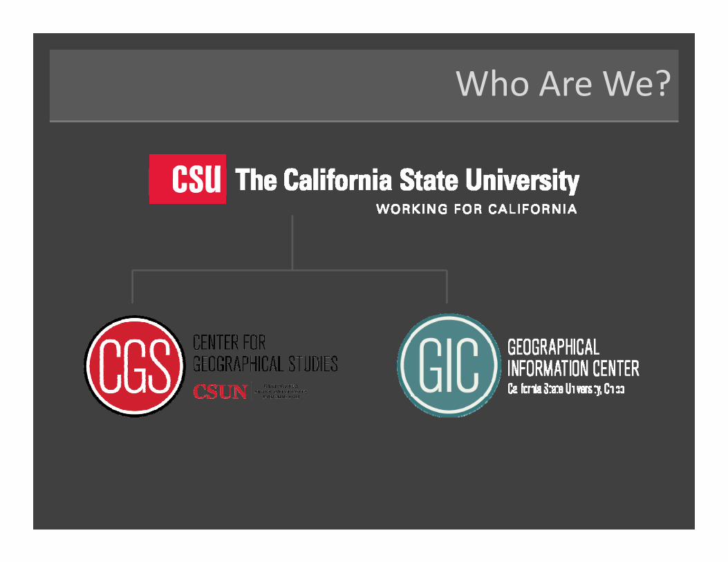
Who Are We?
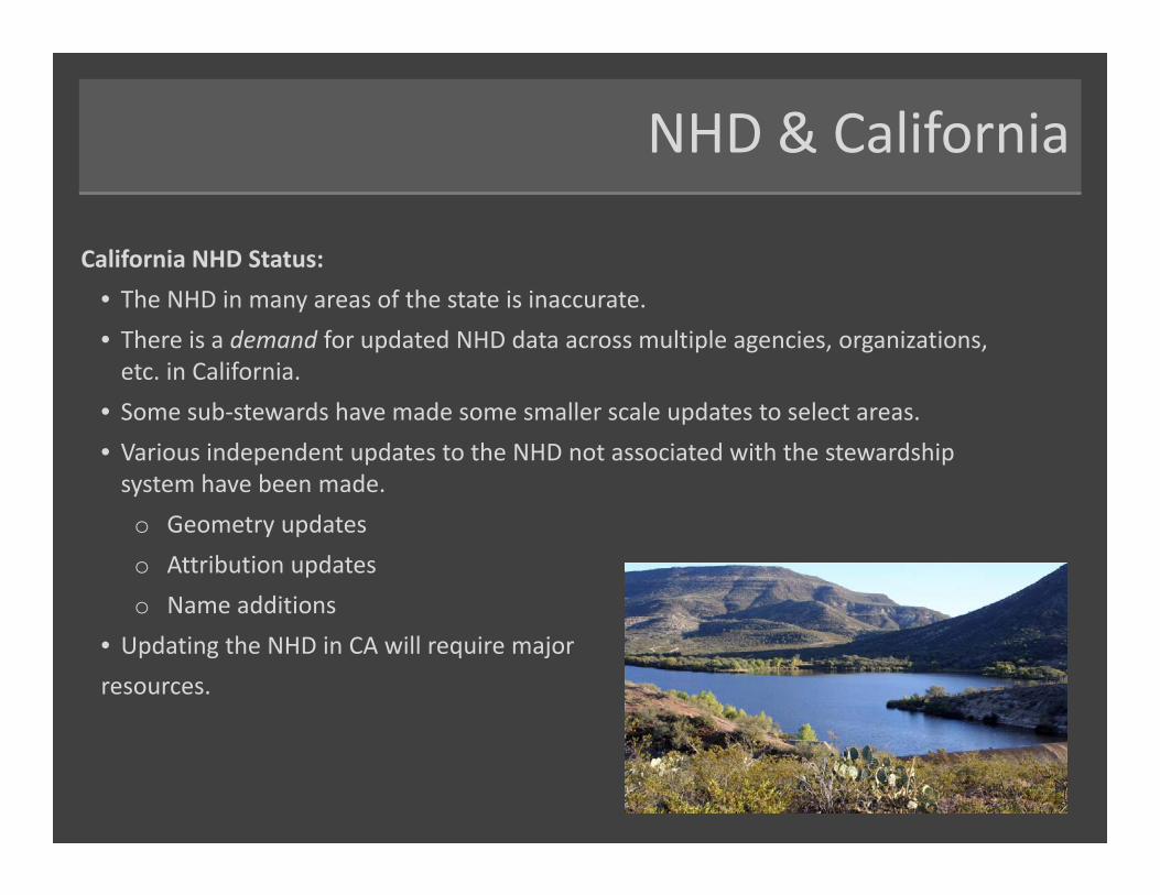
NHD & California
California NHD Status: • The NHD in many areas of the state is inaccurate.• There is a demand for updated NHD data across multiple agencies, organizations, etc. in California.
• Some sub‐stewards have made some smaller scale updates to select areas.• Various independent updates to the NHD not associated with the stewardship system have been made.o Geometry updateso Attribution updateso Name additions
• Updating the NHD in CA will require major resources.
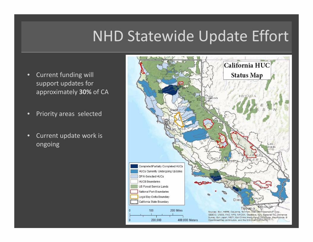
NHD Statewide Update Effort
• Current funding will support updates for approximately 30% of CA
• Priority areas selected
• Current update work is ongoing
Support for NHD Improvement
Partial Funding provided by:
For a coordinated statewide NHD update effort
To
&
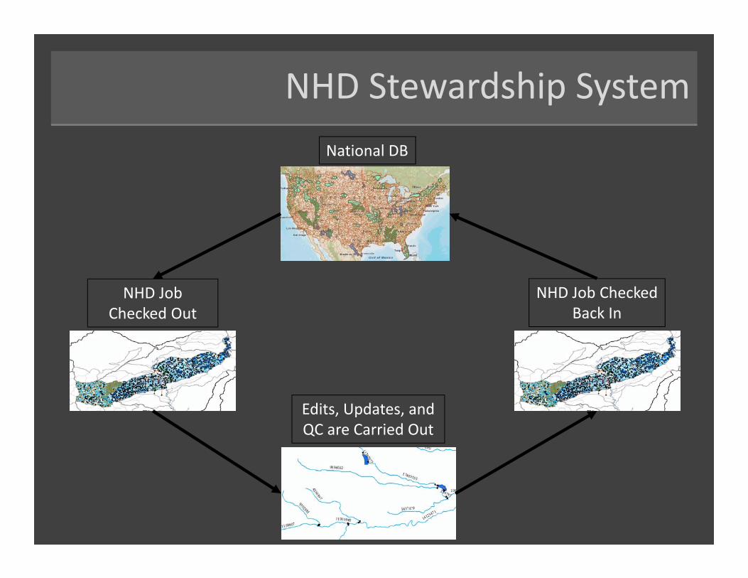
NHD Stewardship SystemNational DB
Edits, Updates, and QC are Carried Out
NHD Job Checked Out
NHD Job Checked Back In
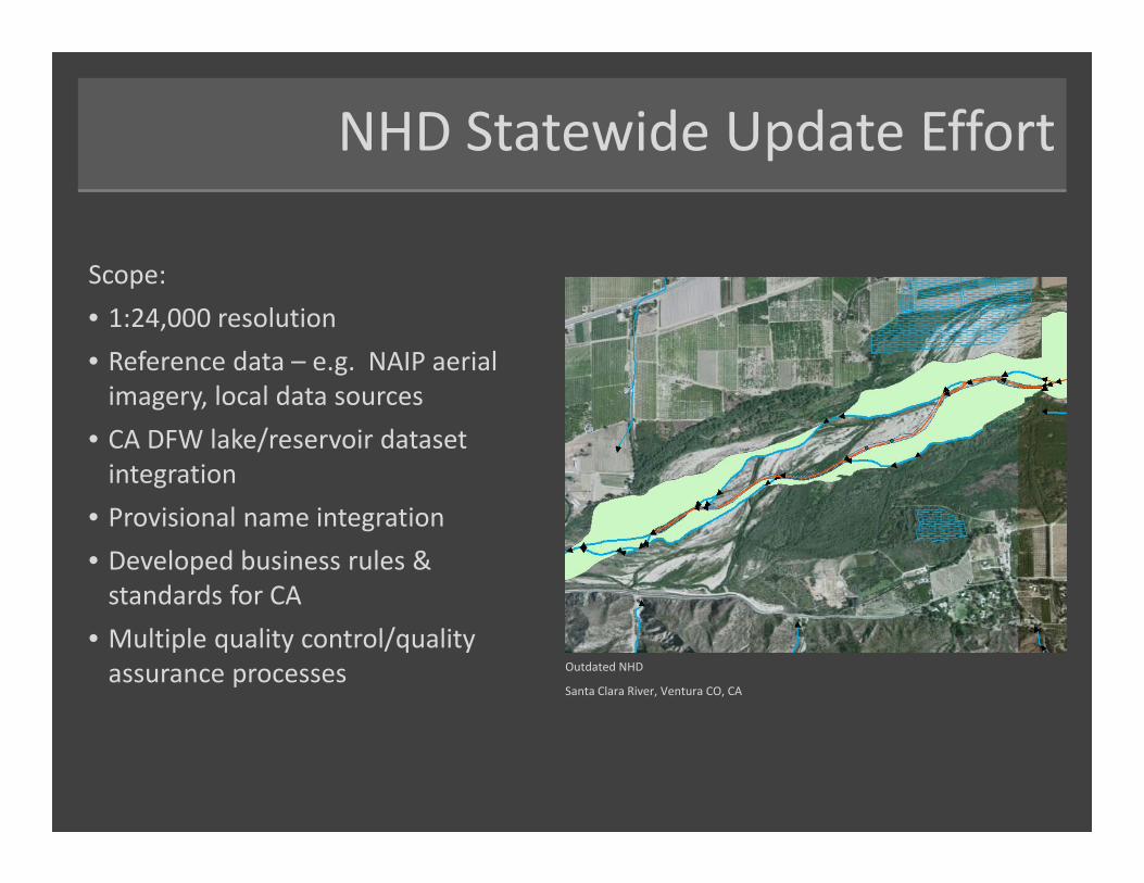
NHD Statewide Update Effort
Scope:• 1:24,000 resolution• Reference data – e.g. NAIP aerial imagery, local data sources
• CA DFW lake/reservoir dataset integration
• Provisional name integration• Developed business rules & standards for CA
• Multiple quality control/quality assurance processes Outdated NHD
Santa Clara River, Ventura CO, CA
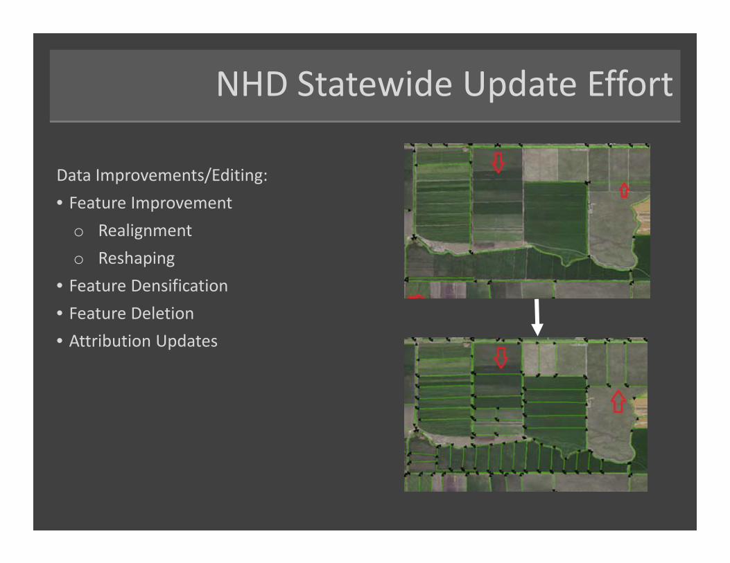
NHD Statewide Update Effort
Data Improvements/Editing:• Feature Improvement
o Realignmento Reshaping
• Feature Densification• Feature Deletion• Attribution Updates

Next Steps
• CA Department of Water Resources (DWR) has been designated as the official state steward.
• Limited funding to be allocated by the State of California• Phased/prioritized approach to continuing updates across the state.
HRBS: A Needs Assessment
Hydrography Requirements and Benefits Study• Needs Assessment spearheaded by USGS
• Identified key uses and benefits of hydrography data
• Manage water supply
• Flood Control & Flood Risk Analysis
• Bay Delta Conservation Plan – Accurate hydrography needed for habitat impact analysis
• Flow Modeling
• Wetland and Riparian mapping, assessment and management
• Surface Water Quality management, monitoring and enforcement
• Will be leveraged to address comprehensive approach to NHD in CA
Getting Involved
• Input on priority regions
• Contribution of local hydro datasets to be used as reference/collateral data for feature updates
• Contribution of local data containing validated names to be used for provisional name integration
• Identifying areas that will benefit from high‐res NHDPlus generation
Contact Us
Danielle [email protected]
Jason [email protected]
Joel [email protected]
CGS Website: http://www.csun.edu/center‐for‐geographical‐studies/
GIC Website: www.gic.csuchico.edu/
Questions/Comments
?