Embed Size (px)
Citation preview

Use of G.I.S. Datasets in Fire Emergency CAD (Computer
Aided Dispatching)Presented by Peter Jordan, Senior Emergency Control OperatorWest Region (Fire) Communications Centre(CAMP West)
GIS Ireland 2012 Conference, Chartered Accountants House, Dublin.
11TH October 2012
Includes Ordnance Survey Ireland data reproduced under OSi Licence number 2011/17 CCMA / CAMP West Unauthorised reproduction infringes Ordnance Survey Ireland and Government of Ireland copyright. © Ordnance Survey Ireland, 2012.

Objectives:Demonstrate the use of GIS Data in an Emergency Room Environment.
Outline difficulties encountered in maintaining up to date:Landmark Geo-GazetteerAddress Geo-GazetteerRaster DataVector Data
Detail various solutions applied.

What is WRCC (CAMP West)?
West Region Communications Centre is one of three Regional Fire Control Rooms in the Republic of Ireland, which use a CAD (Computer Aided Dispatch) system for processing and resourcing Emergency (999/112 ) Fire Calls.

3 Fire Service Regional Communications Centers
WRCC - Castlebar
ERCC - Dublin
MRCC – Limerick
+NIFRS (Lisburn, N.I.)

•53 Fire Stations•6 Counties•Covering Connaught plus Donegal•Total Area of 22,620 sq km•Population of 704,000 (2011)
•Emergency calls handled in 2011: 38,813
WRCC Stats:


The components of CAD:•Maps•Address Database (Gazetteer)•Proprietary Software Package•Communications interface•By necessity, a secure, internal network, connected by radio and back up PSTN to fire stations, but with no access to the internet or wider council network.

Our C.A.D. System?•Vision software by Fortek, utilising
Mapinfo functionality for the GIS component.
•Maps uses both Vector and Raster maps by OSi and others, plus in-house geo datasets, all loaded onto individual terminals.
•Gazetteer 56,000+ record address database in Microsoft Access, maintained from a variety of sources.

Vision C.A.D. System

GIS Datasets: Vector and Raster Maps from 1:1000 up to
1:450k.
GIS DATA SOURCES: OSi Local Authorities (Engineering Areas, Fire
Hydrant Data, etc) Coillte An Gardai Siochana NRA. Others.

Map Types:Raster Maps:
•OSi 50k Explorer Series•OSi 10k Urban Series•OSi 250k National roadmap series
Vector Maps:
•Fire Ground Polygons. •Road Centre-line Data.•Coillte Forestry Area datasets•M6/M18 Motorway Overlays.•Landmark Datasets.

A Fire Ground is a geographic polygon, illustrating who is the primary fire station response for every address or geographical location in that area.
What is a Fire Ground?

Castlebar Fire Ground – MO11

•56,000+ records•32,000+ unique locations•Built originally from scratch, with reference to electoral registrars and various other sources.•Each record contains a location description and directions from the nearest fire station•Requires constant updating from various sources and cross references, including OSi, Geodata, Google online data, etc.
Address Gazetteer:

Problems and limitations of GIS datasets and maps:
•Accuracy
•Currency
•Local cultural norms
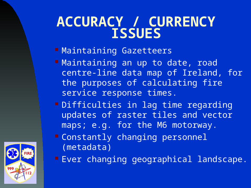
ACCURACY / CURRENCY ISSUES
Maintaining Gazetteers Maintaining an up to date, road centre-line
data map of Ireland, for the purposes of calculating fire service response times.
Difficulties in lag time regarding updates of raster tiles and vector maps; e.g. for the M6 motorway.
Constantly changing personnel (metadata) Ever changing geographical landscape.

Irish people often do not give directions based on regular road names, or even less so by road reference numbers.
Even if they do, names are far from definitive.

The N60 East out of Castlebar, depending on the callers perspective, could be:
Mons Terrace Breaffy Road Breaghwy Road Breachmhaigh Road Manulla Road Balla Road Claremorris Road Ballyhaunis Road Roscommon Road or Galway Road

Some examples of potentially misleading
or presumptive directions:

An address in Boyle, Co Roscommon, given as Curley or Curlew Rd…

Not found in our Gaz search….
Directions were: From Boyle go out towards the bypass road (N4) and after the
football pitch take a left turn

Example of a case of attempting to locate an emergency on limited information:

All caller could tell us was that they had been travelling from Ahascragh to Ballinasloe by “the
back road”…

… they had turned left after the church and had crashed off the road, were trapped upside down in their car in a very distressed state and now all they could see were trees…

They thought the road might be called “The bog road”.We looked for an area on the map matching the
descriptions: church, bog road, forestry….
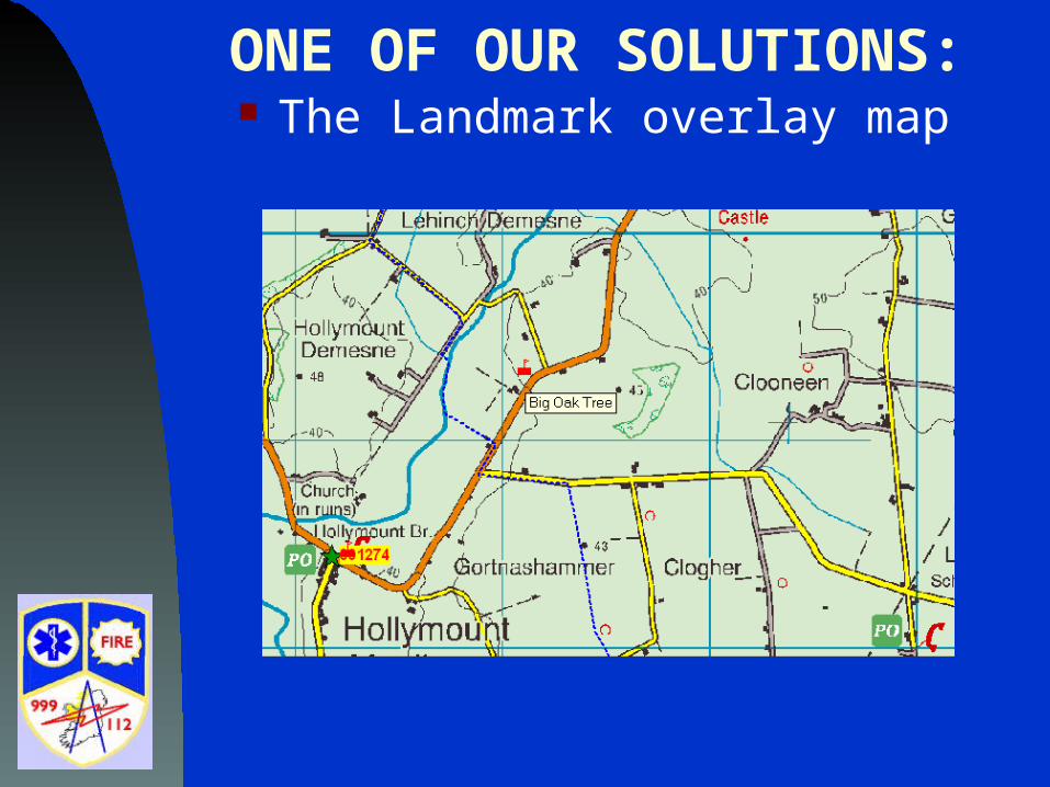
ONE OF OUR SOLUTIONS: The Landmark overlay map

A call illustrating the significance of the use of landmarks…

Method of initially creating Landmarks:
Local Knowledge Calls involving landmark references
identified. Descriptions and directions from calls Marking favourite places on Satnav
whilst driving around.

Latterly…
Google Maps and Google Streetscape OSi maps on line Google searches Auctioneering websites (e.g. Daft.ie) Some limited visual and photographic
surveys (e.g. M6)

Cois Baile, Belcarra, Castlebar, Mayo
Not yet listed on either Geodata, OSi website or in Google maps
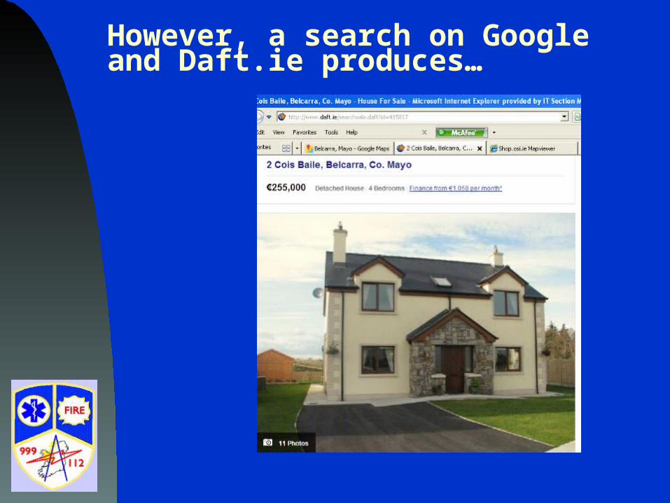
However, a search on Google and Daft.ie produces…

As viewed in Google Streetscape….

Cois Baile, Belcarra, Castlebar, Mayo

Carrowhaun Grotto, Balla, Co MayoAs seen on OSi website with 2005 Ortho and Streetmap combination..

Plotted and described in Mapinfo in our Landmark overlay

On Google Streetscape

At building level – 1:5000 scale

All new addresses and landmarks are sent to fire
stations for verification and annotation with
directions.

Questions?