3rd. Emergency Services Workshop – Brussels, November 2007 © LogicaCMG 2007. All rights reservedSlide # 1
An Explanation To
Open Mobile Alliance
Mobile Location Services
Olaf Lem
LogicaCMG Geo-ICT, The Netherlands
Slide # 2 3rd. Emergency Services Workshop – Brussels, November 2007 © LogicaCMG 2007. All rights reserved
Introduction
• Olaf Lem
– LogicaCMG Geo-ICT since 1997
–Projects in Telecoms, Energy & Utilities and Public Transport
– Standardisation Officer for AGILE-project since September 2005
• Project funded by EU under 6th. Framework Programm (FP6)
• AGILE aims at Mass Market Location Based Services (LBS)
• Integration of Galileo & Mobile Telecommunications Networks
• AGILE Website: http://www.galileo-in-lbs.com
–Represent LogicaCMG in OMA and OGC
• LogicaCMG Geo-ICT
• OMA Mobile Location Services (MLS)
• Assisted GNSS � back to SUPL
3rd. Emergency Services Workshop – Brussels, November 2007 © LogicaCMG 2007. All rights reservedSlide # 3
LogicaCMG Geo-ICT
Slide # 4 3rd. Emergency Services Workshop – Brussels, November 2007 © LogicaCMG 2007. All rights reserved
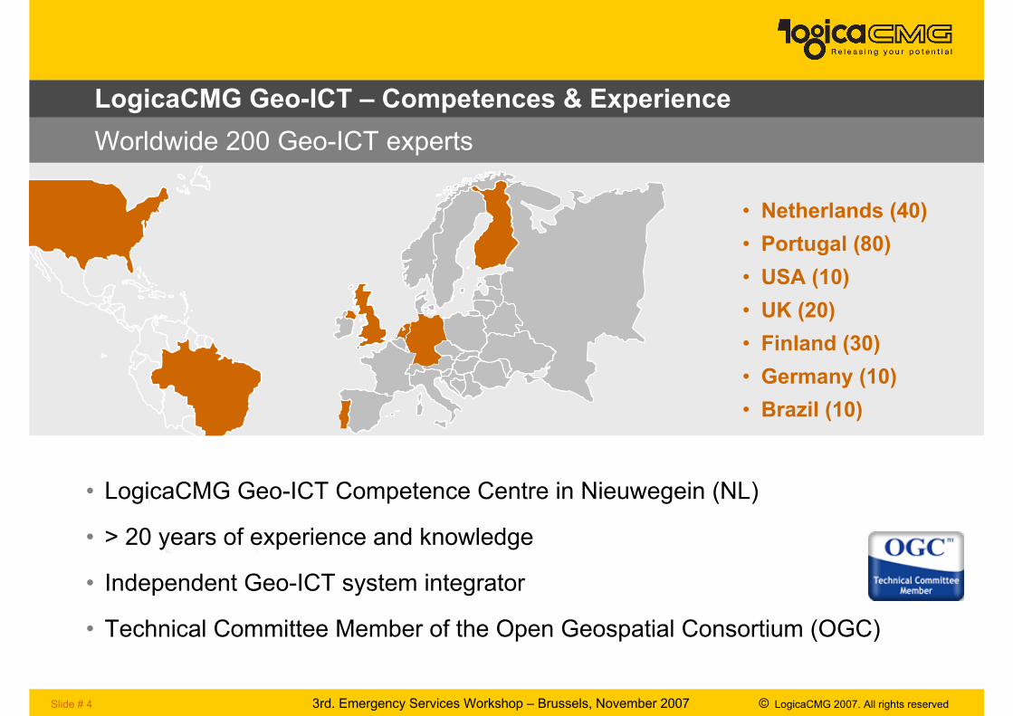
• Netherlands (40)
• Portugal (80)
• USA (10)
• UK (20)
• Finland (30)
• Germany (10)
• Brazil (10)
LogicaCMG Geo-ICT – Competences & Experience
• LogicaCMG Geo-ICT Competence Centre in Nieuwegein (NL)
• > 20 years of experience and knowledge
• Independent Geo-ICT system integrator
• Technical Committee Member of the Open Geospatial Consortium (OGC)
Worldwide 200 Geo-ICT experts
Slide # 5 3rd. Emergency Services Workshop – Brussels, November 2007 © LogicaCMG 2007. All rights reserved
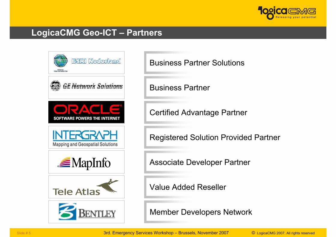
LogicaCMG Geo-ICT – Partners
Business Partner Solutions
Business Partner
Certified Advantage Partner
Registered Solution Provided Partner
Associate Developer Partner
Value Added Reseller
Member Developers Network
Slide # 6 3rd. Emergency Services Workshop – Brussels, November 2007 © LogicaCMG 2007. All rights reserved
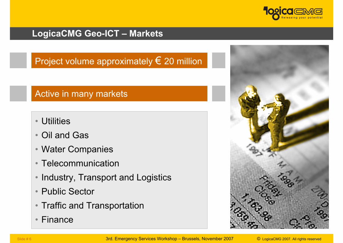
LogicaCMG Geo-ICT – Markets
Project volume approximately € 20 million
Active in many markets
• Utilities
• Oil and Gas
• Water Companies
• Telecommunication
• Industry, Transport and Logistics
• Public Sector
• Traffic and Transportation
• Finance
Slide # 7 3rd. Emergency Services Workshop – Brussels, November 2007 © LogicaCMG 2007. All rights reserved
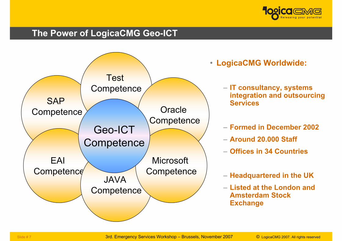
The Power of LogicaCMG Geo-ICT
SAP
Competence
Test
Competence
Oracle
Competence
EAI
CompetenceJAVA
Competence
Microsoft
Competence
Geo-ICT
Competence
• LogicaCMG Worldwide:
– IT consultancy, systems integration and outsourcing Services
– Formed in December 2002
– Around 20.000 Staff
– Offices in 34 Countries
– Headquartered in the UK
– Listed at the London and Amsterdam Stock Exchange
3rd. Emergency Services Workshop – Brussels, November 2007 © LogicaCMG 2007. All rights reservedSlide # 8
Open Mobile Alliance – Mobile Location Services (MLS)
Slide # 9 3rd. Emergency Services Workshop – Brussels, November 2007 © LogicaCMG 2007. All rights reserved
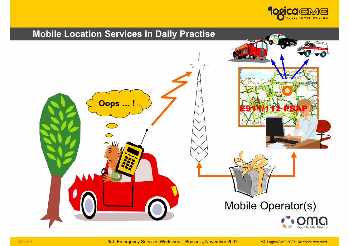
Mobile Location Services in Daily Practise
E911/112 PSAP
Mobile Operator(s)
Oops … !
Slide # 10 3rd. Emergency Services Workshop – Brussels, November 2007 © LogicaCMG 2007. All rights reserved
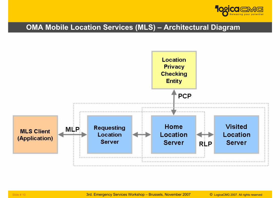
OMA Mobile Location Services (MLS) – Architectural Diagram
Slide # 11 3rd. Emergency Services Workshop – Brussels, November 2007 © LogicaCMG 2007. All rights reserved
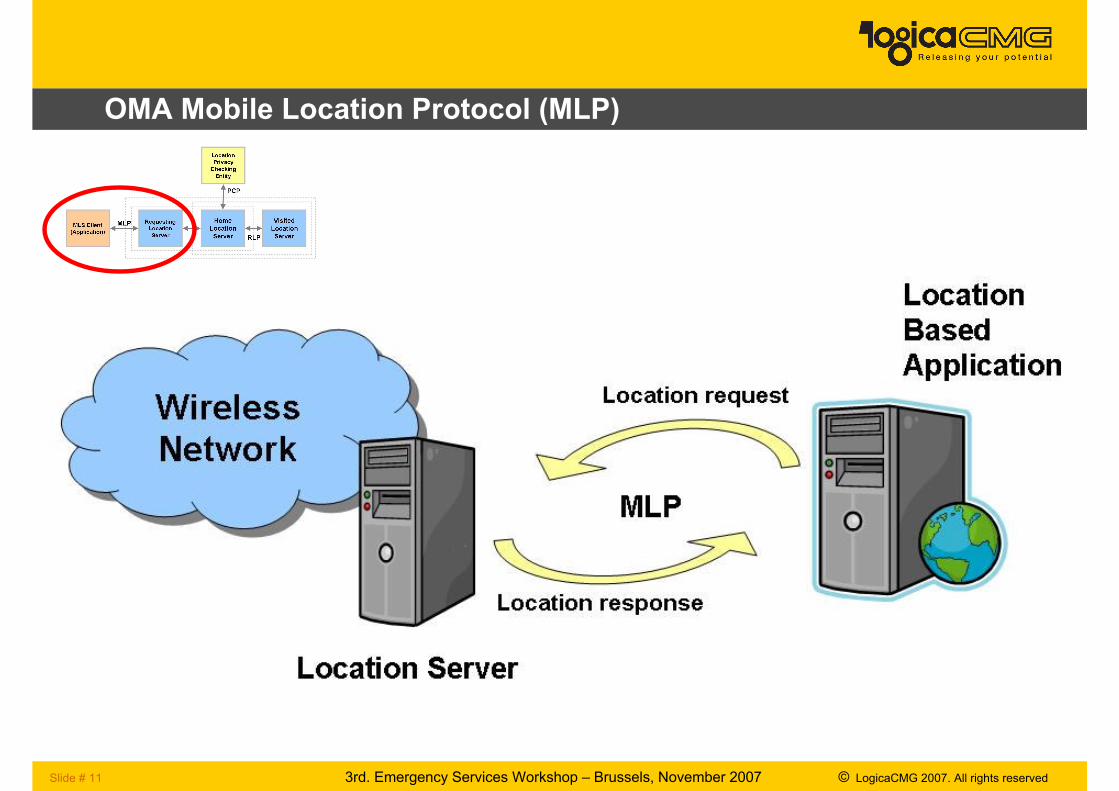
OMA Mobile Location Protocol (MLP)
Slide # 12 3rd. Emergency Services Workshop – Brussels, November 2007 © LogicaCMG 2007. All rights reserved
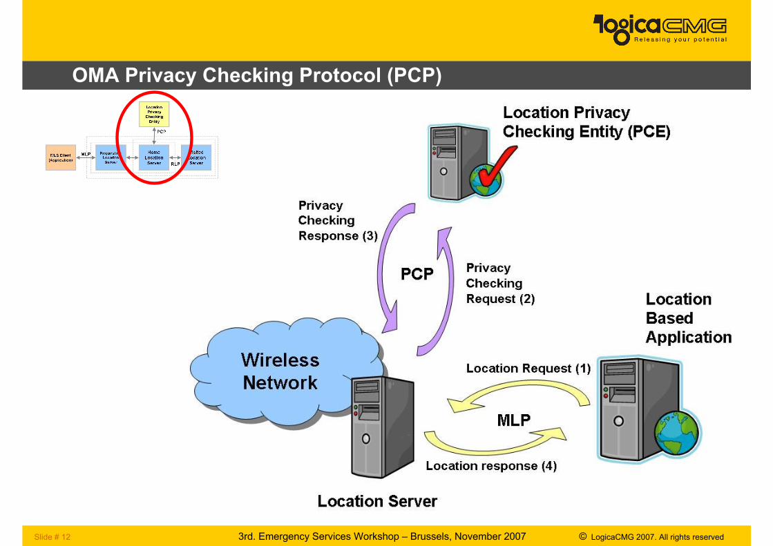
OMA Privacy Checking Protocol (PCP)
Slide # 13 3rd. Emergency Services Workshop – Brussels, November 2007 © LogicaCMG 2007. All rights reserved
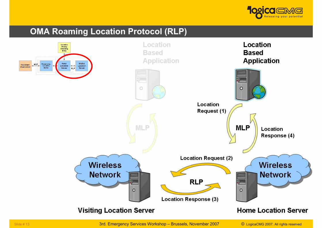
OMA Roaming Location Protocol (RLP)
Slide # 14 3rd. Emergency Services Workshop – Brussels, November 2007 © LogicaCMG 2007. All rights reserved
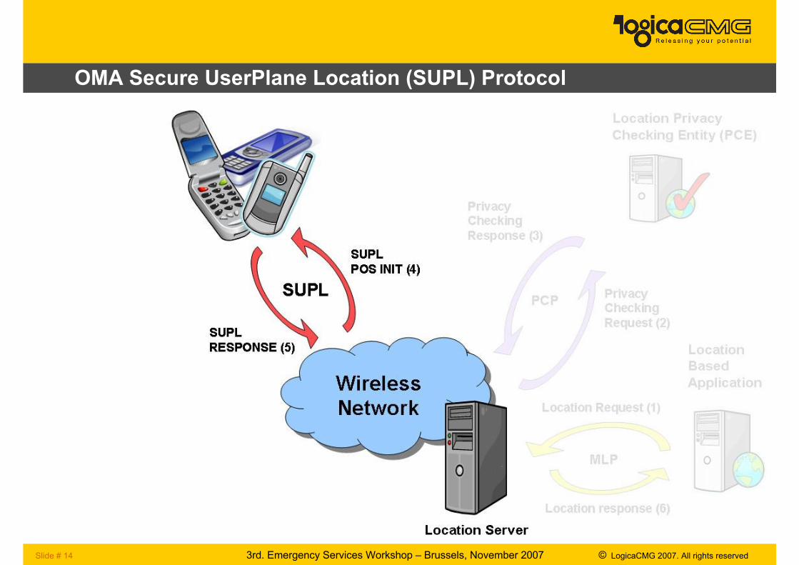
OMA Secure UserPlane Location (SUPL) Protocol
3rd. Emergency Services Workshop – Brussels, November 2007 © LogicaCMG 2007. All rights reservedSlide # 15
Assisted GNSS
Slide # 16 3rd. Emergency Services Workshop – Brussels, November 2007 © LogicaCMG 2007. All rights reserved
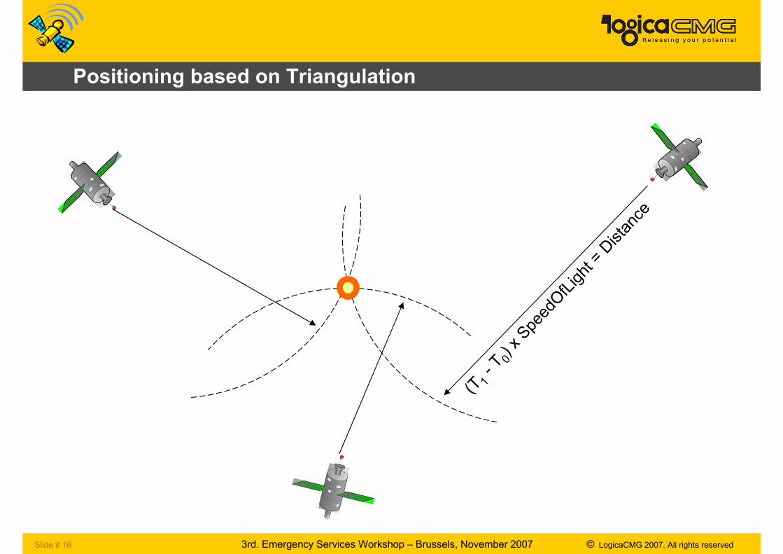
Positioning based on Triangulation
Satellite
(T1- T0) x SpeedOfLight = Distance
Slide # 17 3rd. Emergency Services Workshop – Brussels, November 2007 © LogicaCMG 2007. All rights reserved
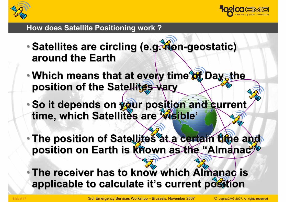
How does Satellite Positioning work ?
•• Satellites are circling (e.g. nonSatellites are circling (e.g. non--geostatic) geostatic) around the Eartharound the Earth
••Which means that at every time of Day, the Which means that at every time of Day, the position of the Satellites varyposition of the Satellites vary
•• So it depends on your position and current So it depends on your position and current time, which Satellites are time, which Satellites are ‘‘visiblevisible’’
•• The position of Satellites at a certain time and The position of Satellites at a certain time and position on Earth is known as the position on Earth is known as the ““AlmanacAlmanac””
•• The receiver has to know which Almanac is The receiver has to know which Almanac is applicable to calculate itapplicable to calculate it’’s current positions current position
Slide # 18 3rd. Emergency Services Workshop – Brussels, November 2007 © LogicaCMG 2007. All rights reserved
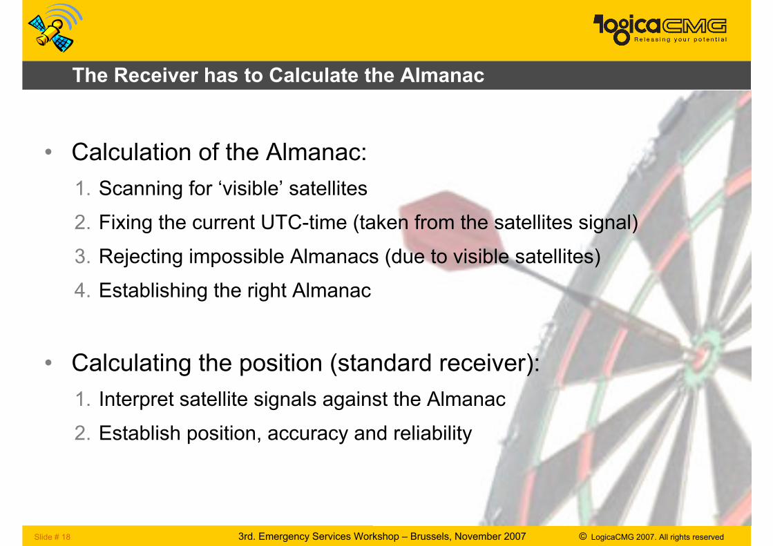
The Receiver has to Calculate the Almanac
• Calculation of the Almanac:
1. Scanning for ‘visible’ satellites
2. Fixing the current UTC-time (taken from the satellites signal)
3. Rejecting impossible Almanacs (due to visible satellites)
4. Establishing the right Almanac
• Calculating the position (standard receiver):
1. Interpret satellite signals against the Almanac
2. Establish position, accuracy and reliability
Slide # 19 3rd. Emergency Services Workshop – Brussels, November 2007 © LogicaCMG 2007. All rights reserved
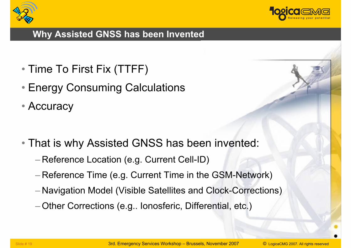
Why Assisted GNSS has been Invented
• Time To First Fix (TTFF)
• Energy Consuming Calculations
• Accuracy
• That is why Assisted GNSS has been invented:
–Reference Location (e.g. Current Cell-ID)
–Reference Time (e.g. Current Time in the GSM-Network)
–Navigation Model (Visible Satellites and Clock-Corrections)
–Other Corrections (e.g.. Ionosferic, Differential, etc.)
Slide # 20 3rd. Emergency Services Workshop – Brussels, November 2007 © LogicaCMG 2007. All rights reserved
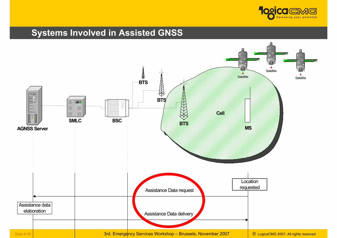
Systems Involved in Assisted GNSS
Cell
BTSBSC
BTS
BTS
AGNSS Server
SMLC
MS
Location
requested
Assistance data
elaboration
Assistance Data request
Assistance Data delivery
Satellite
Satellite
Satellite
3rd. Emergency Services Workshop – Brussels, November 2007 © LogicaCMG 2007. All rights reservedSlide # 21
Back to OMA Mobile Location Services & SUPL
Slide # 22 3rd. Emergency Services Workshop – Brussels, November 2007 © LogicaCMG 2007. All rights reserved
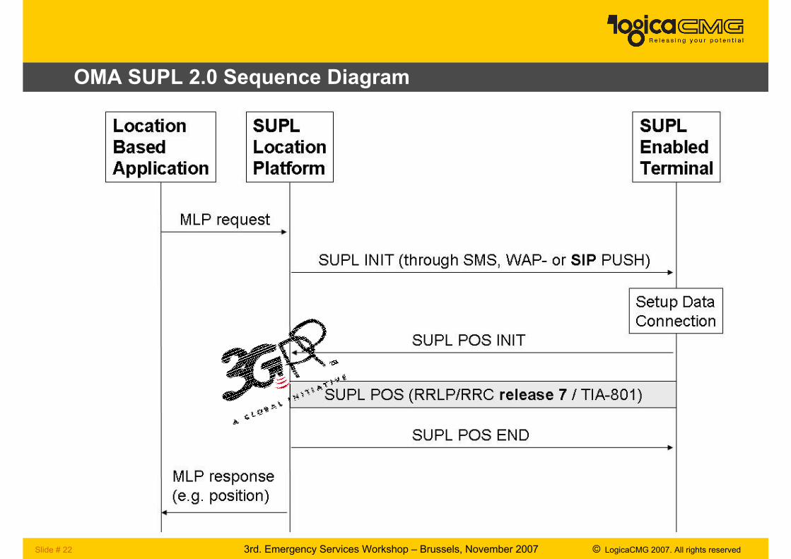
OMA SUPL 2.0 Sequence Diagram
Slide # 23 3rd. Emergency Services Workshop – Brussels, November 2007 © LogicaCMG 2007. All rights reserved
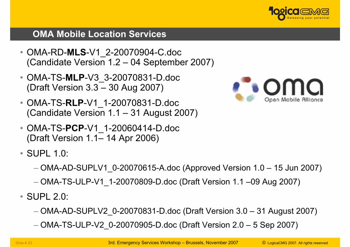
OMA Mobile Location Services
• OMA-RD-MLS-V1_2-20070904-C.doc(Candidate Version 1.2 – 04 September 2007)
• OMA-TS-MLP-V3_3-20070831-D.doc(Draft Version 3.3 – 30 Aug 2007)
• OMA-TS-RLP-V1_1-20070831-D.doc(Candidate Version 1.1 – 31 August 2007)
• OMA-TS-PCP-V1_1-20060414-D.doc(Draft Version 1.1– 14 Apr 2006)
• SUPL 1.0:
– OMA-AD-SUPLV1_0-20070615-A.doc (Approved Version 1.0 – 15 Jun 2007)
– OMA-TS-ULP-V1_1-20070809-D.doc (Draft Version 1.1 –09 Aug 2007)
• SUPL 2.0:
– OMA-AD-SUPLV2_0-20070831-D.doc (Draft Version 3.0 – 31 August 2007)
– OMA-TS-ULP-V2_0-20070905-D.doc (Draft Version 2.0 – 5 Sep 2007)
Slide # 24 3rd. Emergency Services Workshop – Brussels, November 2007 © LogicaCMG 2007. All rights reserved
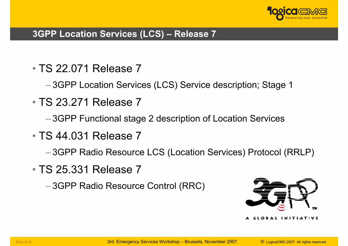
3GPP Location Services (LCS) – Release 7
• TS 22.071 Release 7
– 3GPP Location Services (LCS) Service description; Stage 1
• TS 23.271 Release 7
– 3GPP Functional stage 2 description of Location Services
• TS 44.031 Release 7
– 3GPP Radio Resource LCS (Location Services) Protocol (RRLP)
• TS 25.331 Release 7
– 3GPP Radio Resource Control (RRC)
Slide # 25 3rd. Emergency Services Workshop – Brussels, November 2007 © LogicaCMG 2007. All rights reserved
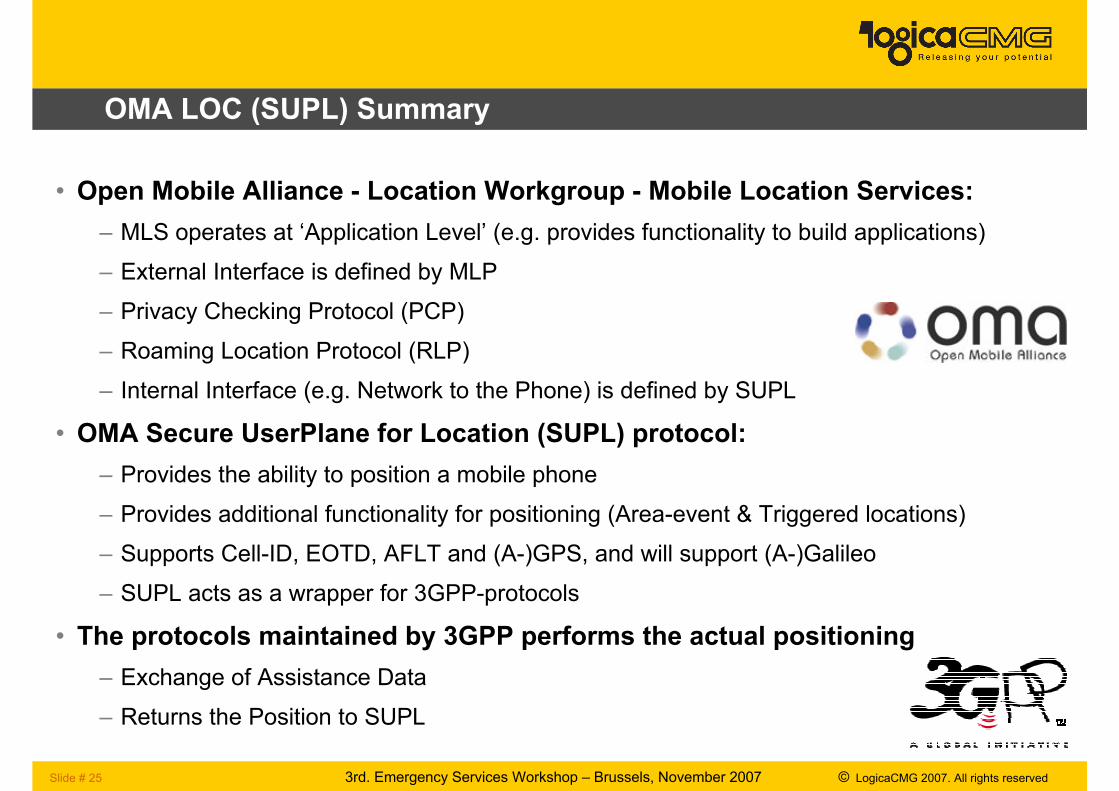
OMA LOC (SUPL) Summary
• Open Mobile Alliance - Location Workgroup - Mobile Location Services:
– MLS operates at ‘Application Level’ (e.g. provides functionality to build applications)
– External Interface is defined by MLP
– Privacy Checking Protocol (PCP)
– Roaming Location Protocol (RLP)
– Internal Interface (e.g. Network to the Phone) is defined by SUPL
• OMA Secure UserPlane for Location (SUPL) protocol:
– Provides the ability to position a mobile phone
– Provides additional functionality for positioning (Area-event & Triggered locations)
– Supports Cell-ID, EOTD, AFLT and (A-)GPS, and will support (A-)Galileo
– SUPL acts as a wrapper for 3GPP-protocols
• The protocols maintained by 3GPP performs the actual positioning
– Exchange of Assistance Data
– Returns the Position to SUPL
Slide # 26 3rd. Emergency Services Workshop – Brussels, November 2007 © LogicaCMG 2007. All rights reserved
Thank You for Your Attention
If you have any Questions
don’t hesistate to contact me
Recommended