Ontologies for the Integration of Geospatial Data
Michael LutzWorkshop: Semantics and Ontologies for GI Services, 2006
Paper: Lutz et al., Overcoming semantic heterogeneity in spatial data infrastructures, Computers and Geosciences (2008)
With modification from Barbara Hofer

Context
Spatial Data Infrastructures (SDI)searching, accessing, integrating heterogeneous
geographic data sets and GI services
• Syntactical basis: standards of the Open GIS Consortium (OGC)
• WMS, WFS, etc.
• Semantic heterogeneity causes problems• Different classification schemes (e.g. for landuse or
geological categories) in different countries or user communities
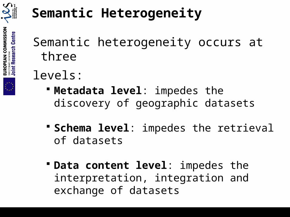
Semantic Heterogeneity
Semantic heterogeneity occurs at three
levels: Metadata level: impedes the discovery of
geographic datasets
Schema level: impedes the retrieval of datasets
Data content level: impedes the interpretation, integration and exchange of datasets

Example: Geological Maps
Daten aus dem Kartenwerk Geologische Karte (DGK) des LAGB LSA, Geologische Grundkarte im Maßstab 1:25.000
Basis for engineering and hydro-geologicaldecision making
different times
different authors
different areas
different classification systems
Semantic heterogeneity
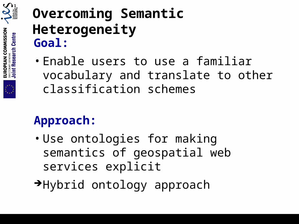
Overcoming Semantic Heterogeneity
Goal:
• Enable users to use a familiar vocabulary and translate to other classification schemes
Approach:
• Use ontologies for making semantics of geospatial web services explicit
Hybrid ontology approach
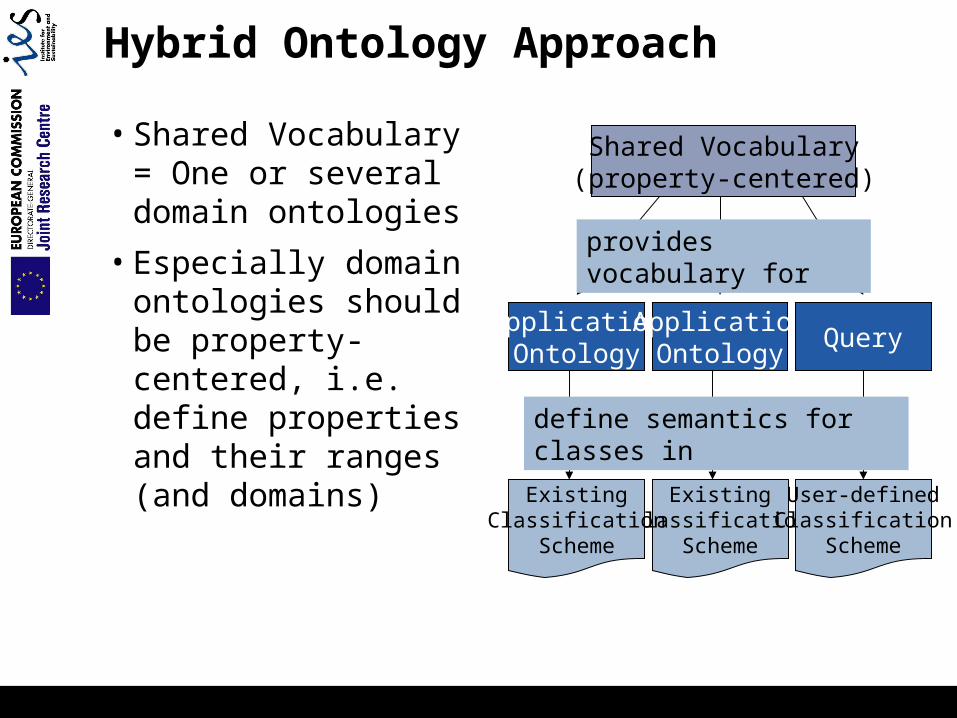
Hybrid Ontology Approach
• Shared Vocabulary = One or several domain ontologies
• Especially domain ontologies should be property-centered, i.e. define properties and their ranges(and domains)
Shared Vocabulary(property-centered)
ApplicationOntology
ExistingClassification
Scheme
User-definedClassification
Scheme
ApplicationOntology
Query
ExistingClassification
Scheme
provides vocabulary for
define semantics for classes in

Hybrid Ontology Approach (2)
How to:1. Define “shared vocabulary” (aka “skeleton
ontology”)2. Define class definitions for each classification
scheme based on shared vocabulary3. Define query using the shared vocabulary or an
existing classification scheme4. Find similar or matching concepts for the query
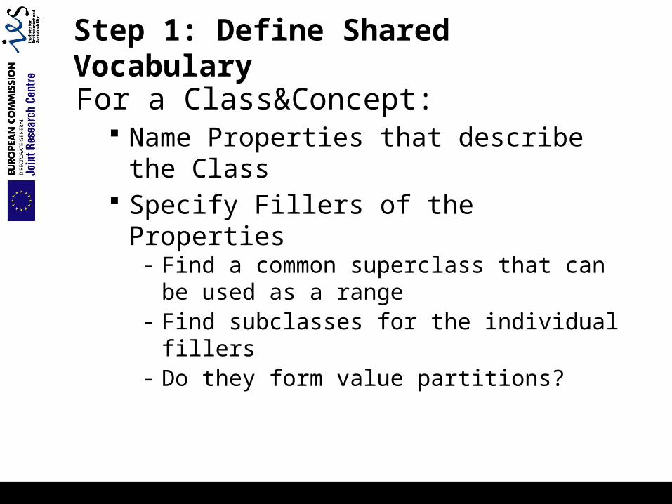
Step 1: Define Shared Vocabulary
For a Class&Concept: Name Properties that describe the Class Specify Fillers of the Properties
- Find a common superclass that can be used as a range
- Find subclasses for the individual fillers- Do they form value partitions?
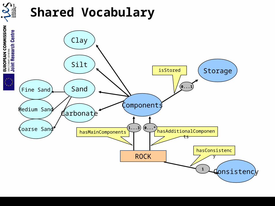
Fine Sand
Coarse Sand
Medium Sand
Shared Vocabulary
ROCK
Sand
Clay
Silt
CarbonateComponents
hasAdditionalComponentshasMainComponents
hasConsistency
Consistency
StorageisStored
1...3 0...*
1
0...1
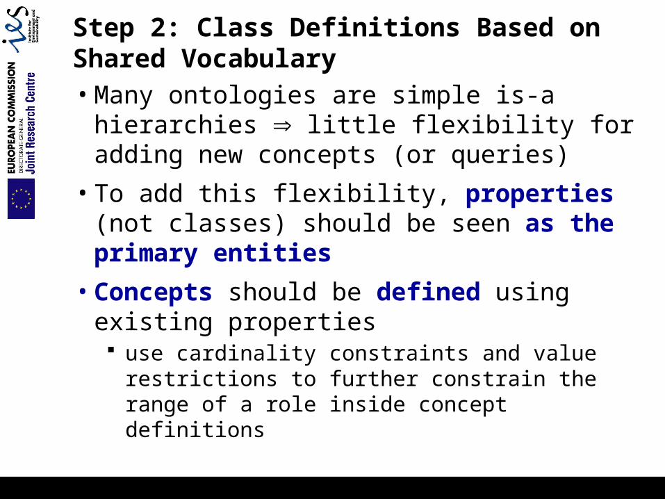
Step 2: Class Definitions Based on Shared Vocabulary• Many ontologies are simple is-a hierarchies
little flexibility for adding new concepts (or queries)
• To add this flexibility, properties (not classes) should be seen as the primary entities
• Concepts should be defined using existing properties use cardinality constraints and value restrictions to
further constrain the range of a role inside concept definitions
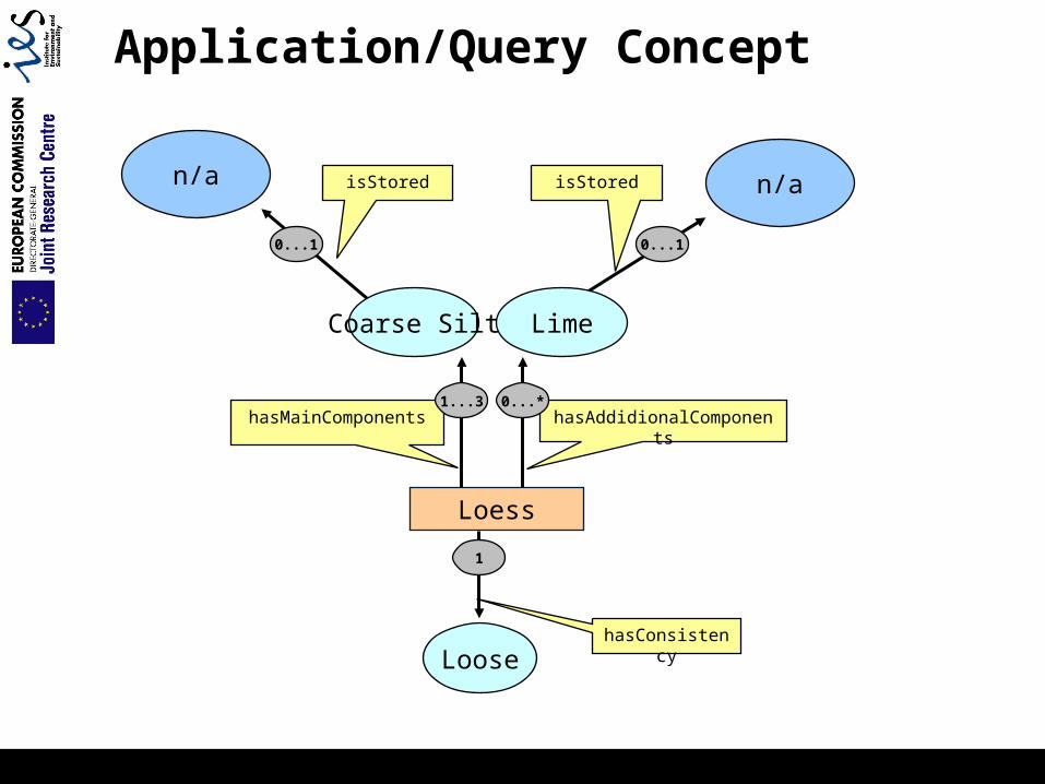
Application/Query Concept
Loess
Coarse Silt
hasAddidionalComponentshasMainComponents
n/aisStored
1...3 0...*
1
0...1
Loose
Lime
n/a isStored
0...1
hasConsistency
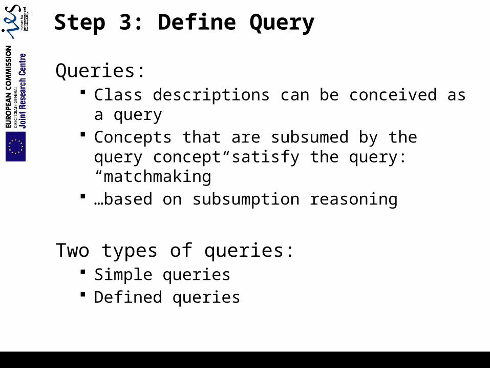
Step 3: Define Query
Queries: Class descriptions can be conceived as a query Concepts that are subsumed by the query concept
satisfy the query: “matchmaking” …based on subsumption reasoning
Two types of queries: Simple queries Defined queries
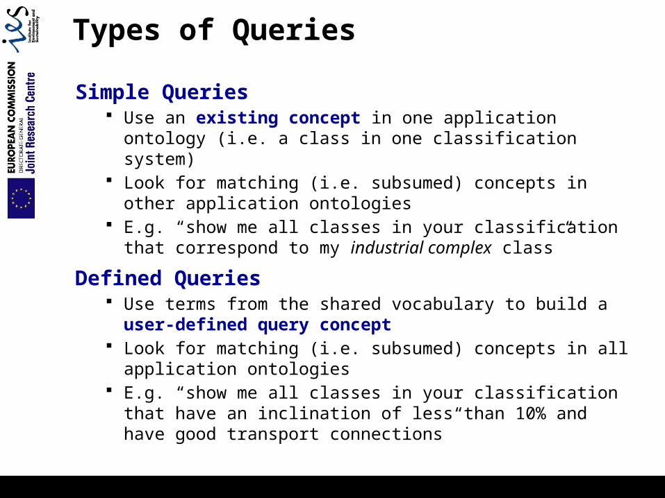
Types of Queries
Simple Queries Use an existing concept in one application ontology (i.e. a
class in one classification system) Look for matching (i.e. subsumed) concepts in other
application ontologies E.g. “show me all classes in your classification that
correspond to my industrial complex class”
Defined Queries Use terms from the shared vocabulary to build a user-
defined query concept Look for matching (i.e. subsumed) concepts in all application
ontologies E.g. “show me all classes in your classification that have an
inclination of less than 10% and have good transport connections”
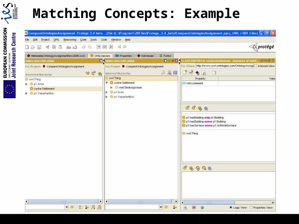
Matching Concepts: Example
Assignment
Goals:
• Get an idea how ontologies can be used for the integration of geospatial data
• Define a shared vocabulary for the domain of landcover classifications
• Define land use classes for e.g. CORINE land cover classification scheme
• Execute simple and defined queries
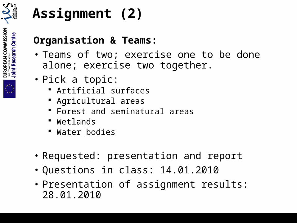
Assignment (2)
Organisation & Teams:
• Teams of two; exercise one to be done alone; exercise two together.
• Pick a topic: Artificial surfaces Agricultural areas Forest and seminatural areas Wetlands Water bodies
• Requested: presentation and report
• Questions in class: 14.01.2010
• Presentation of assignment results: 28.01.2010
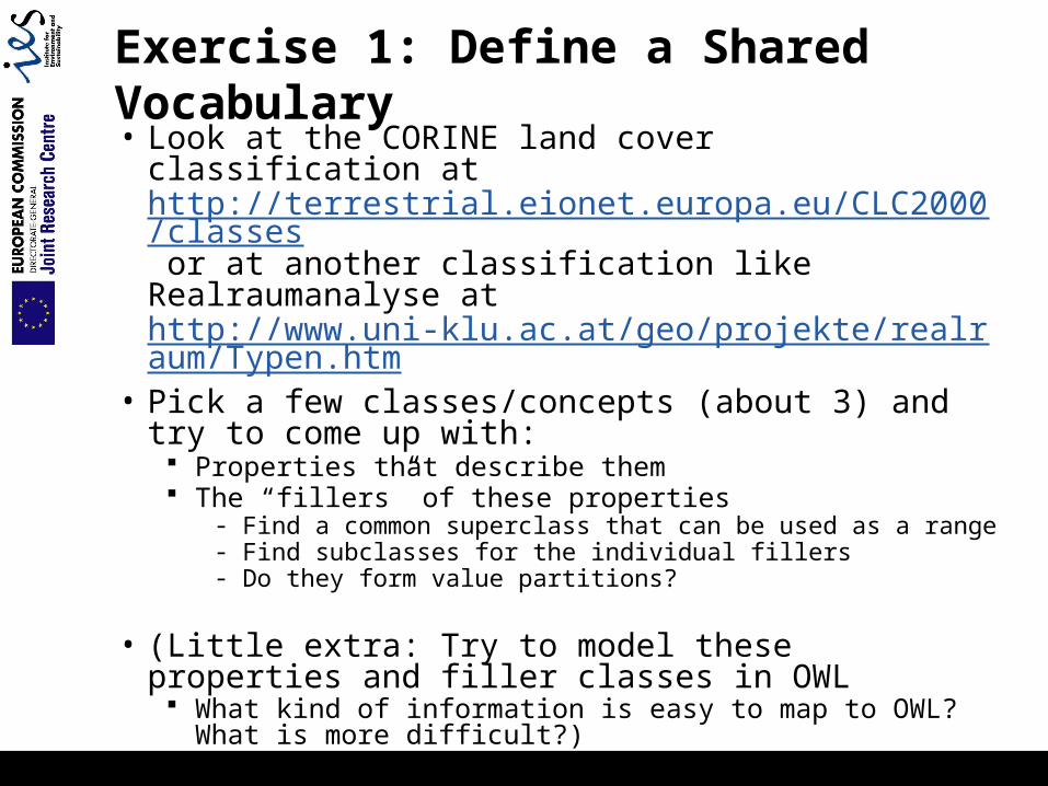
Exercise 1: Define a Shared Vocabulary
• Look at the CORINE land cover classification at http://terrestrial.eionet.europa.eu/CLC2000/classes or at another classification like Realraumanalyse at http://www.uni-klu.ac.at/geo/projekte/realraum/Typen.htm
• Pick a few classes/concepts (about 3) and try to come up with:
Properties that describe them The “fillers” of these properties
- Find a common superclass that can be used as a range- Find subclasses for the individual fillers- Do they form value partitions?
• (Little extra: Try to model these properties and filler classes in OWL
What kind of information is easy to map to OWL? What is more difficult?)

Exercise 2: Define Land Cover Classes
Use two different land cover classification systems for
one topic, e.g.:1. CORINE2. Realraumanalyse (
http://www.uni-klu.ac.at/geo/projekte/realraum/Typen.htm ) or New Zealand Land Cover Database http://www.mfe.govt.nz/issues/land/land-cover-dbase/classes.html etc.
Use common shared vocabulary Import skeleton ontology from the Harmonisa project into a
new Protégé project
Create defined classes for your classification system Based on skeleton ontology
Do simple and defined queries for your two ontologies See common concepts in the two ontologies
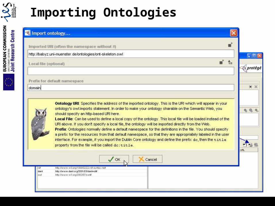
Importing Ontologies
• Create and save a new Protégé project
Import ontology
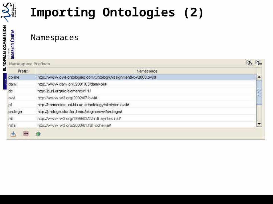
Importing Ontologies (2)
Namespaces
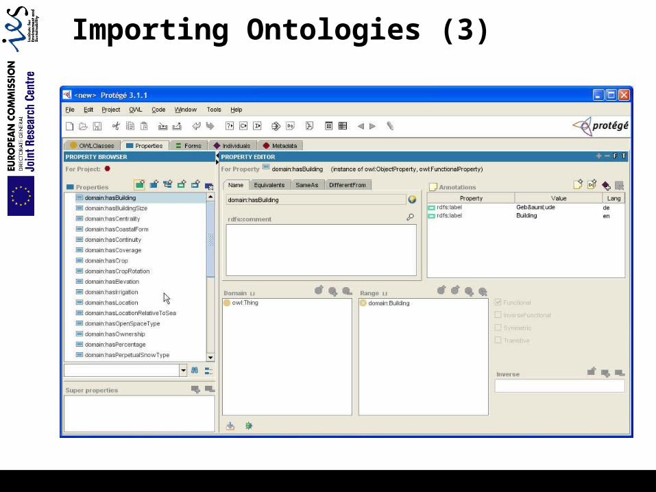
Importing Ontologies (3)
Additional Reference Material
Protégé OWL Tutorial: Value partitions Example for importing ontologies Etc.
Paper on Hybrid Ontology Approach by Lutz et al. 2008
Skeleton ontology of the Harmonisa project
Material available on FTP server: ftp://ftp.geoinfo.tuwien.ac.at/courses/Ontology_08W/
- link on course website
Recommended