Embed Size (px)
Citation preview
Base Map for On The Road Again Farm
Nancy Buddington
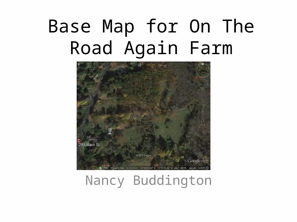
• The base mapping assignment was both fun and challenging. Knowing that my homestead design would include at least 30 acres of a 63 acre site, I chose Google Earth to map the property.
• I did physically measure areas nearest to the barn and animal yards. I also walked most of the area in search of breaks in the fence. Goats are very good at finding these breaks and they won’t tell us where they are. When a goat appears where they should not be, it is time to take a walk!
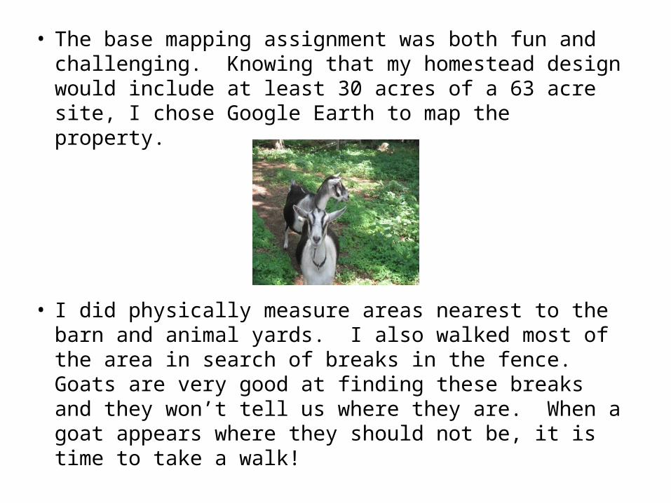
• To begin the mapping process, I uploaded Google Earth and the address of the site. I spent a good deal of time trying to get to a scale where I could at least see the western most 30 acres or so of the property.
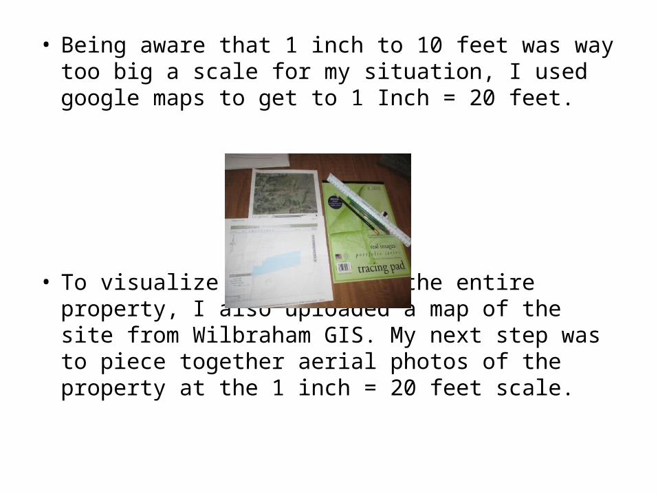
• Being aware that 1 inch to 10 feet was way too big a scale for my situation, I used google maps to get to 1 Inch = 20 feet.
• To visualize the shape of the entire property, I also uploaded a map of the site from Wilbraham GIS. My next step was to piece together aerial photos of the property at the 1 inch = 20 feet scale.
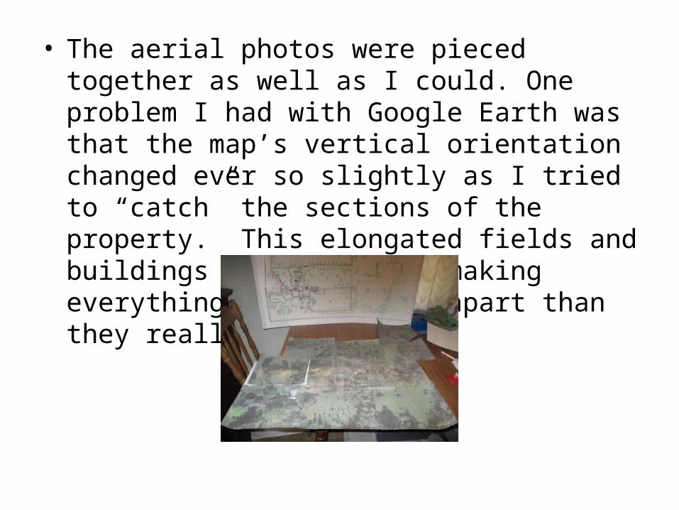
• The aerial photos were pieced together as well as I could. One problem I had with Google Earth was that the map’s vertical orientation changed ever so slightly as I tried to “catch” the sections of the property. This elongated fields and buildings and distances making everything seem further apart than they really are.
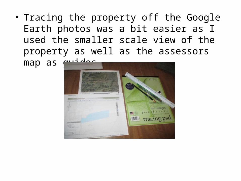
• Tracing the property off the Google Earth photos was a bit easier as I used the smaller scale view of the property as well as the assessors map as guides.
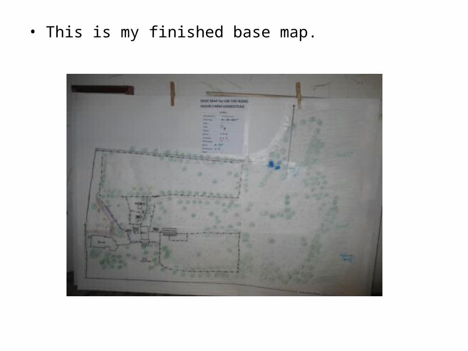
• This is my finished base map.
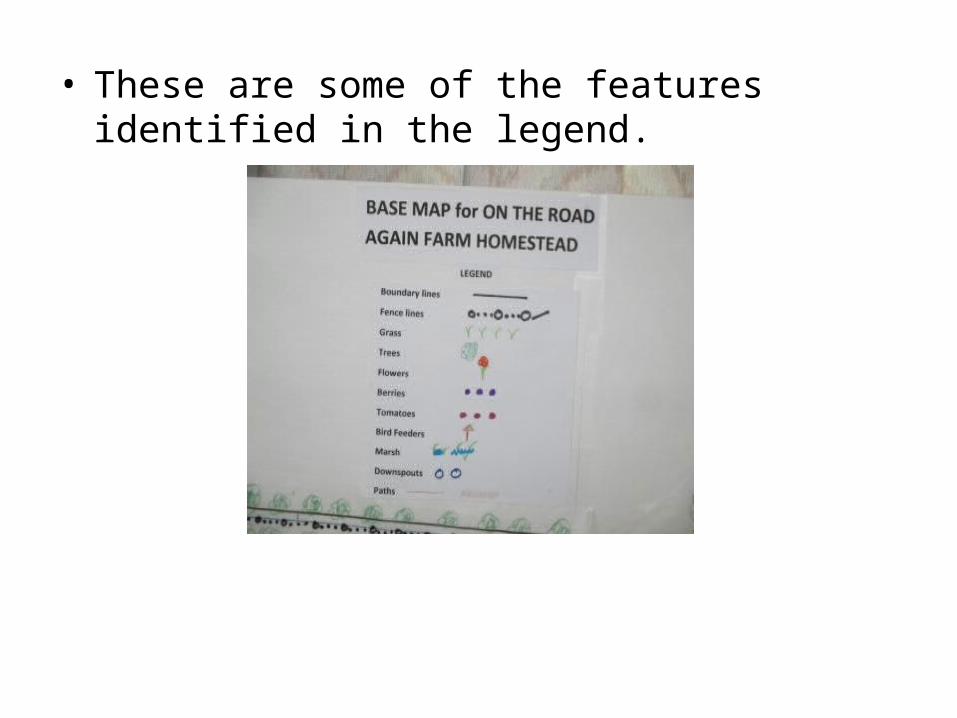
• These are some of the features identified in the legend.
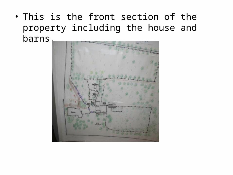
• This is the front section of the property including the house and barns.
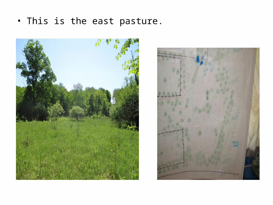
• This is the east pasture.
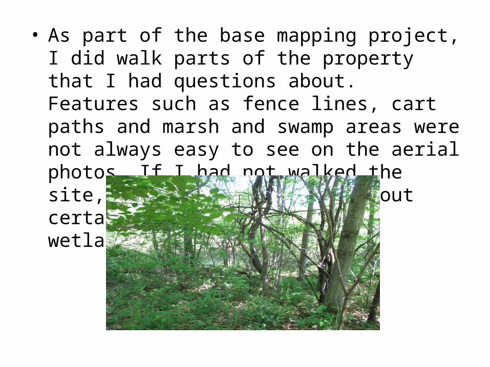
• As part of the base mapping project, I did walk parts of the property that I had questions about. Features such as fence lines, cart paths and marsh and swamp areas were not always easy to see on the aerial photos. If I had not walked the site, I may not have known about certain features. This is a wetland.
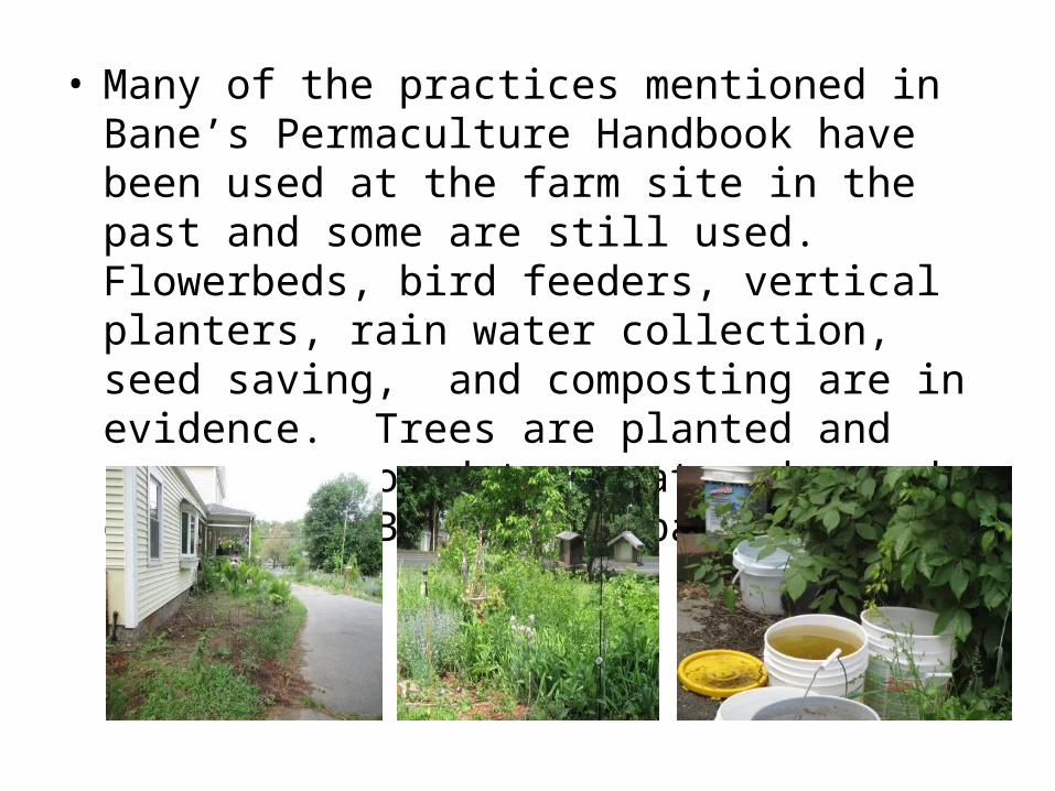
• Many of the practices mentioned in Bane’s Permaculture Handbook have been used at the farm site in the past and some are still used. Flowerbeds, bird feeders, vertical planters, rain water collection, seed saving, and composting are in evidence. Trees are planted and areas are mowed to create edge and diversity. Blackberry patches line fence rows.
• This homestead has a long and interesting history. Researching human features and practices on this farm has given meaning to the placement of structures and vegetation. It was a dairy farm in the 18th and 19th century. The back side of the farmhouse was the milk house. In the past, a natural spring supplied the farm’s water. Due to contamination from the Memorial School, the farm is now hooked up to town water and sewer.
• Fire destroyed the original barn and a new generation of homesteaders worked together to create an inspiring example of permaculture. The barn addition was built from a plan written on a napkin. The cycle of life and death has taken its toll on this farm, but I am truly inspired to continue the traditions that have passed through the generations here.