Embed Size (px)
Citation preview
GEOGRAPHY GLOSSARY
Escola Valeri SerraYear 6
School Year 2014-2015
CONTENTSALTITUDE ATLAS CANYON CAPE CLIFF CONTINENTDELTA DESERT ESTUARY GEOGRAPHY GLACIER GULF
HILL ISLAND LAKE LANDMARK MAP MOUNTAIN
OASIS OCEAN PENINSULA PLAIN POND PRAIRIE
RANGE RIVER SEA WATERFALL VALLEY VOLCANO
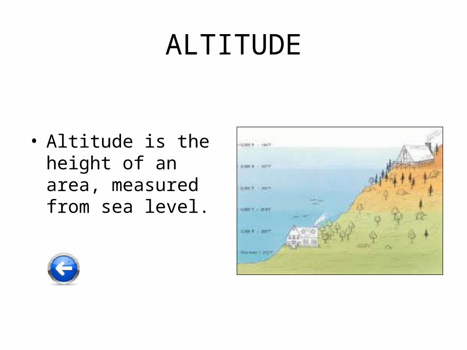
ALTITUDE
• Altitude is the height of an area, measured from sea level.
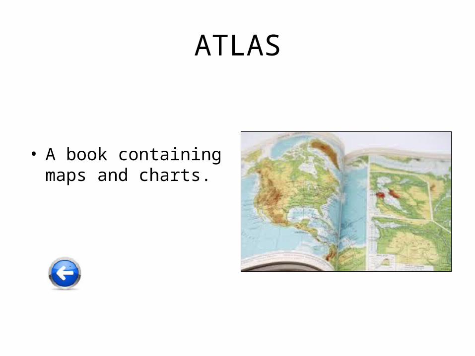
ATLAS
• A book containing maps and charts.
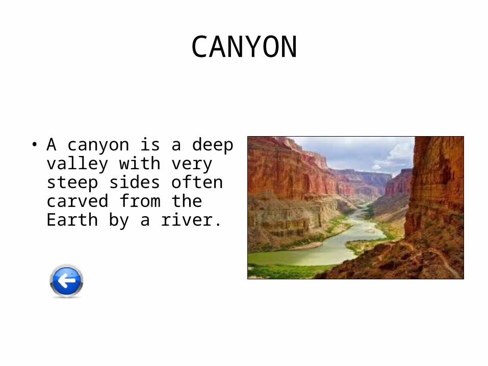
CANYON
• A canyon is a deep valley with very steep sides often carved from the Earth by a river.
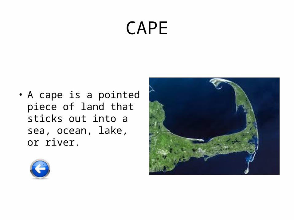
CAPE
• A cape is a pointed piece of land that sticks out into a sea, ocean, lake, or river.
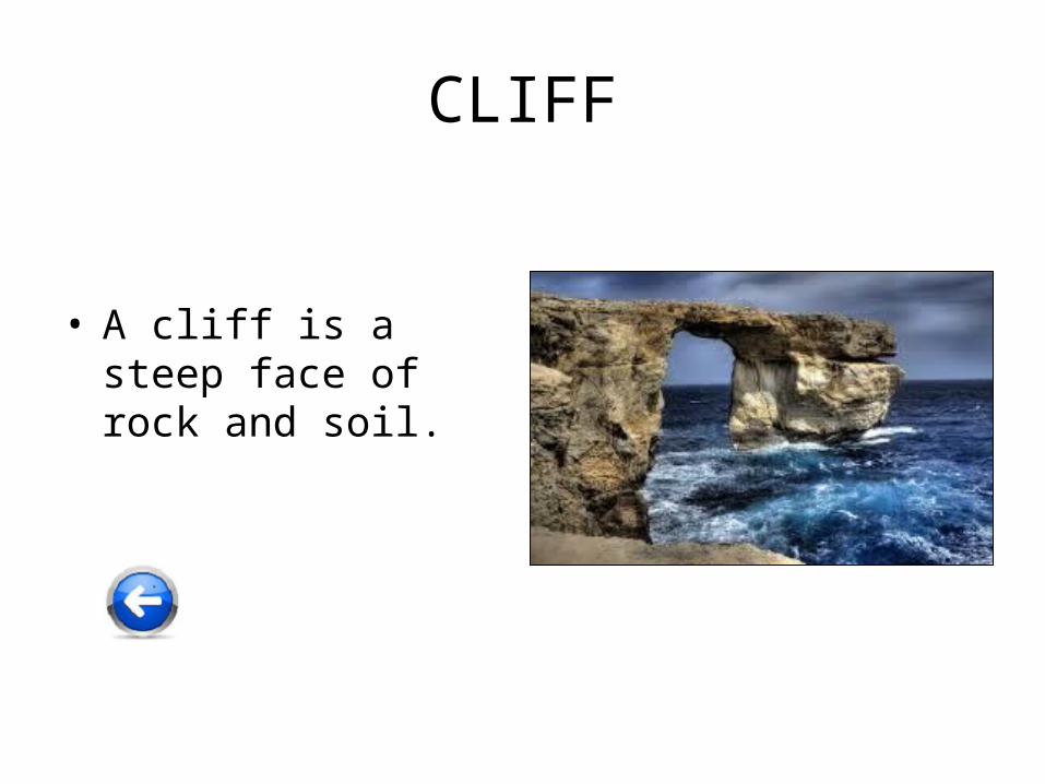
CLIFF
• A cliff is a steep face of rock and soil.
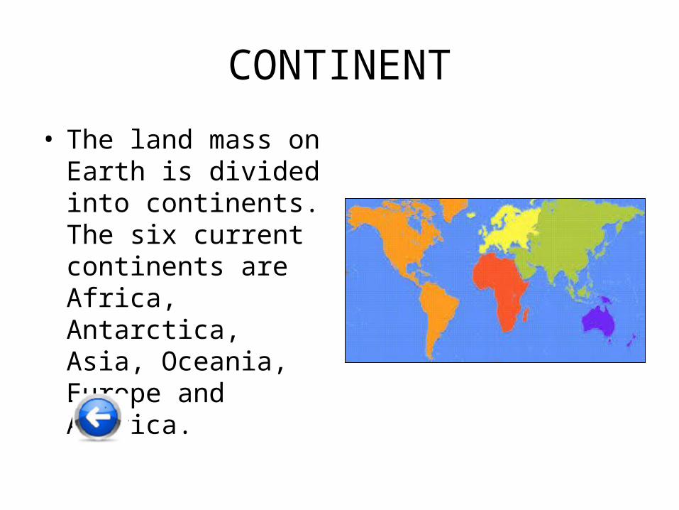
CONTINENT
• The land mass on Earth is divided into continents. The six current continents are Africa, Antarctica, Asia, Oceania, Europe and America.
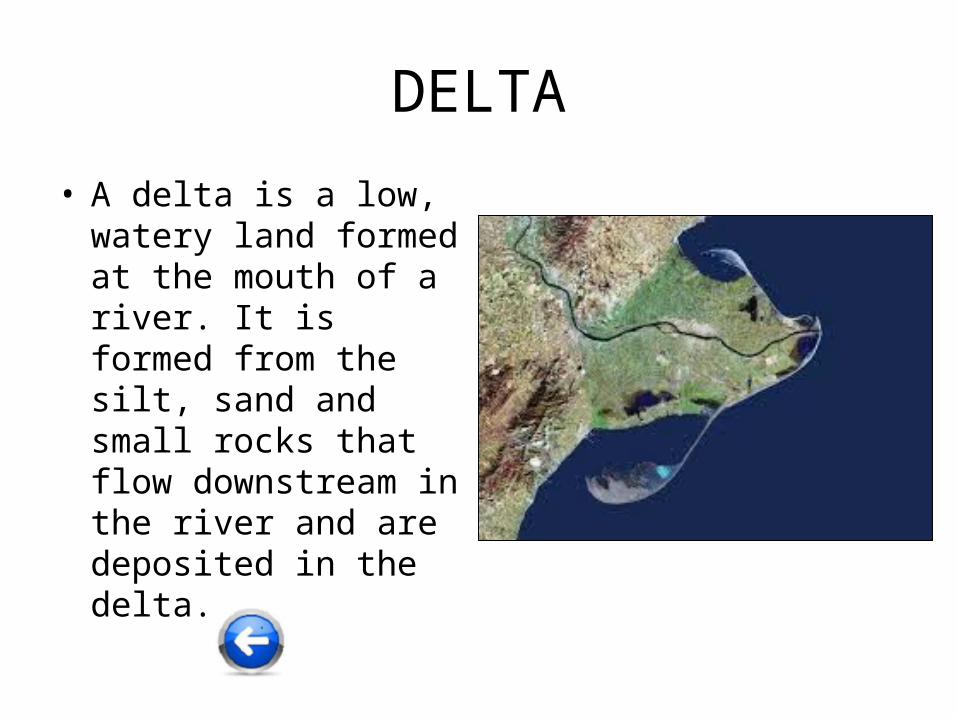
DELTA
• A delta is a low, watery land formed at the mouth of a river. It is formed from the silt, sand and small rocks that flow downstream in the river and are deposited in the delta.
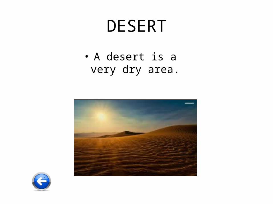
DESERT
• A desert is a very dry area.
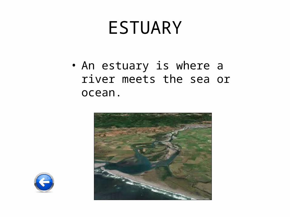
ESTUARY
• An estuary is where a river meets the sea or ocean.
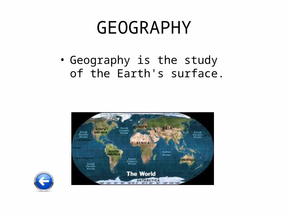
GEOGRAPHY
• Geography is the study of the Earth's surface.
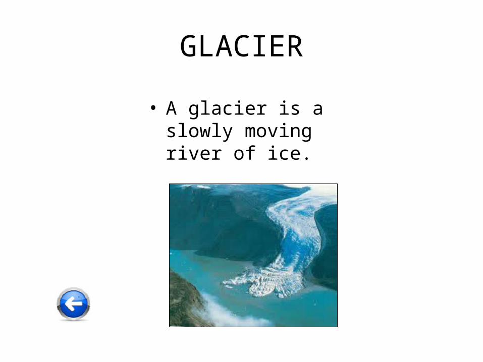
GLACIER
• A glacier is a slowly moving river of ice.
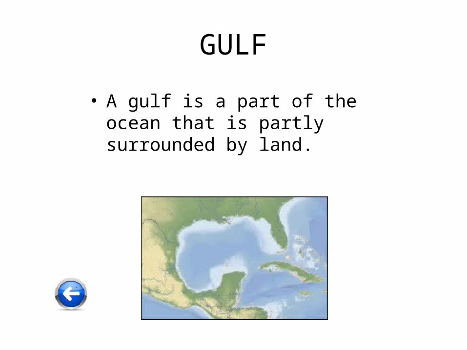
GULF
• A gulf is a part of the ocean that is partly surrounded by land.
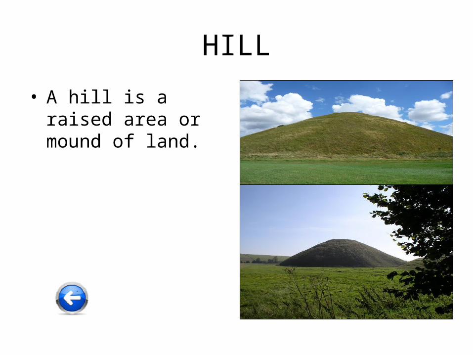
HILL
• A hill is a raised area or mound of land.
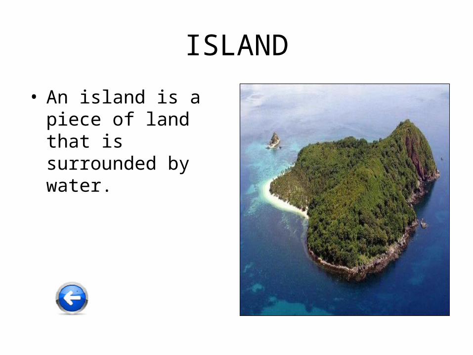
ISLAND
• An island is a piece of land that is surrounded by water.
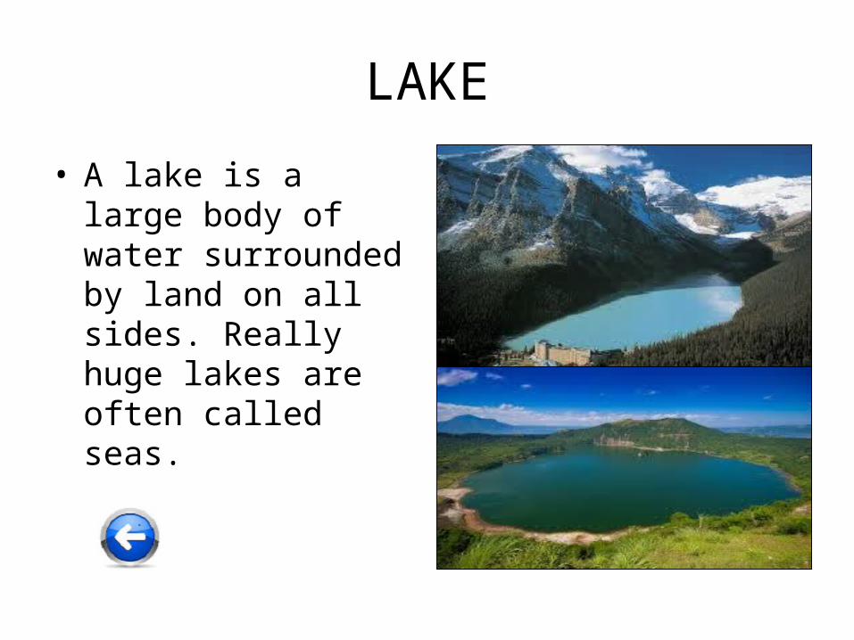
LAKE
• A lake is a large body of water surrounded by land on all sides. Really huge lakes are often called seas.
LANDMARK
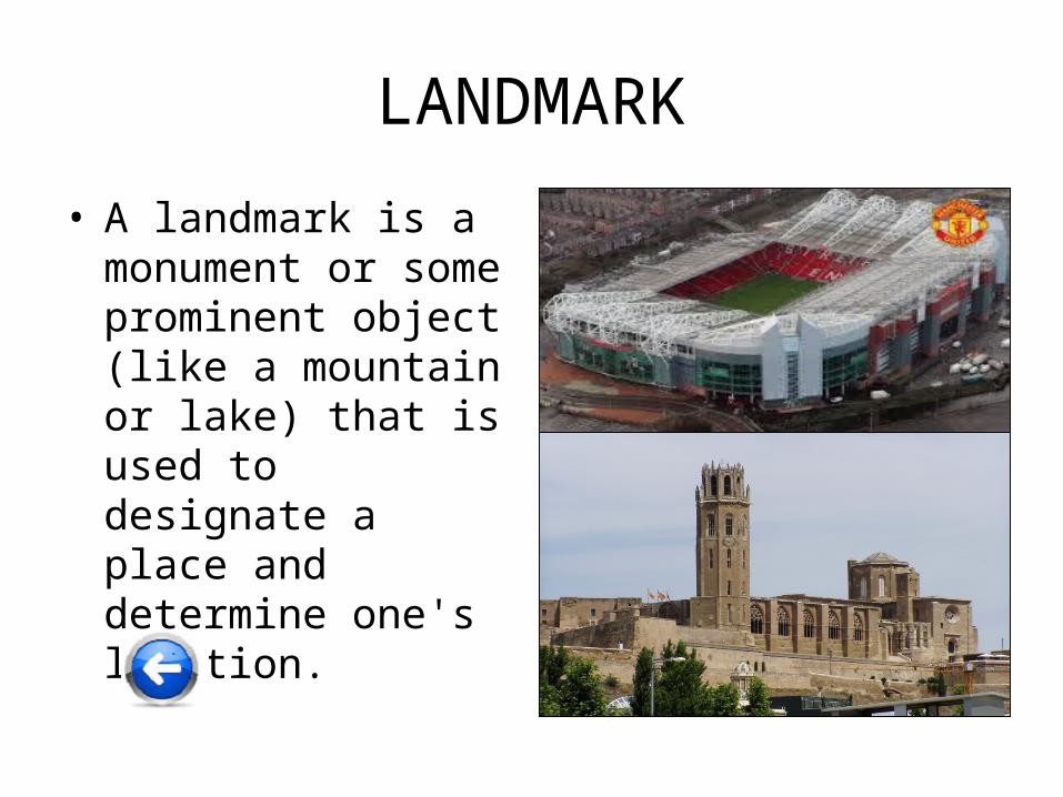
• A landmark is a monument or some prominent object (like a mountain or lake) that is used to designate a place and determine one's location.
MAP
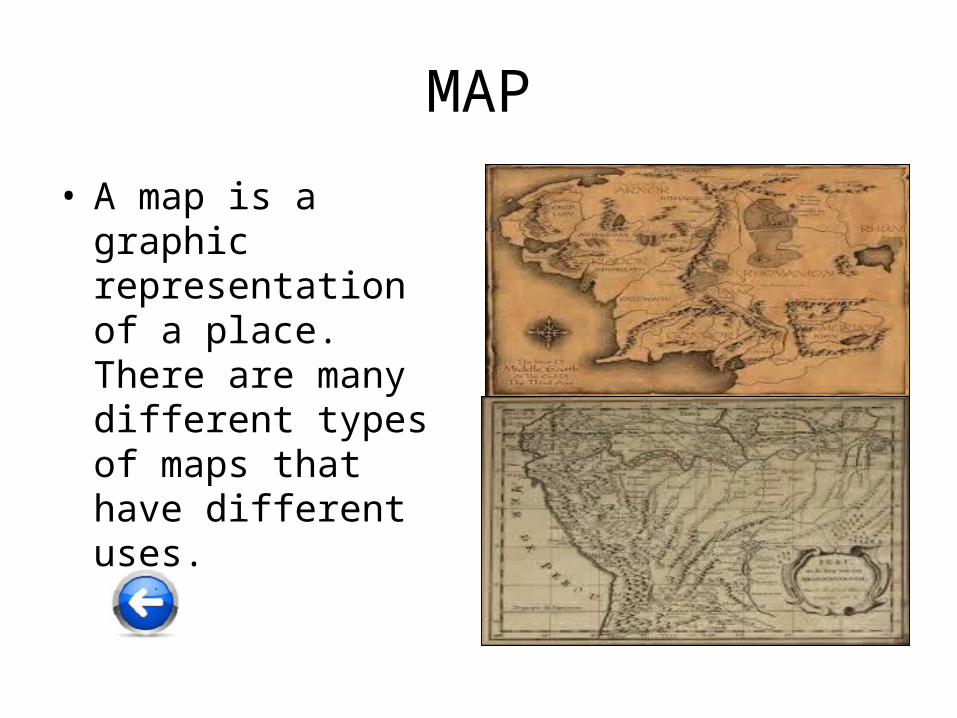
• A map is a graphic representation of a place. There are many different types of maps that have different uses.

MOUNTAIN
• A mountain is a very tall high, natural place on Earth - higher than a hill. The tallest mountain on Earth is Mt. Everest.
OASIS
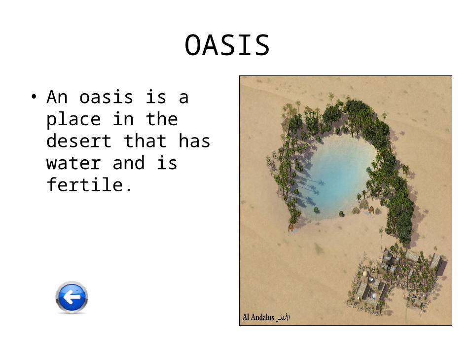
• An oasis is a place in the desert that has water and is fertile.
OCEAN
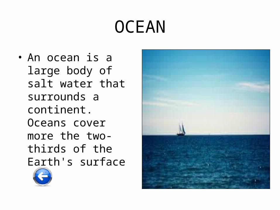
• An ocean is a large body of salt water that surrounds a continent. Oceans cover more the two-thirds of the Earth's surface
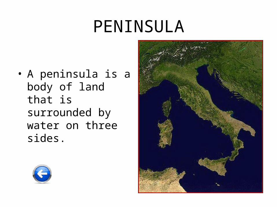
PENINSULA
• A peninsula is a body of land that is surrounded by water on three sides.
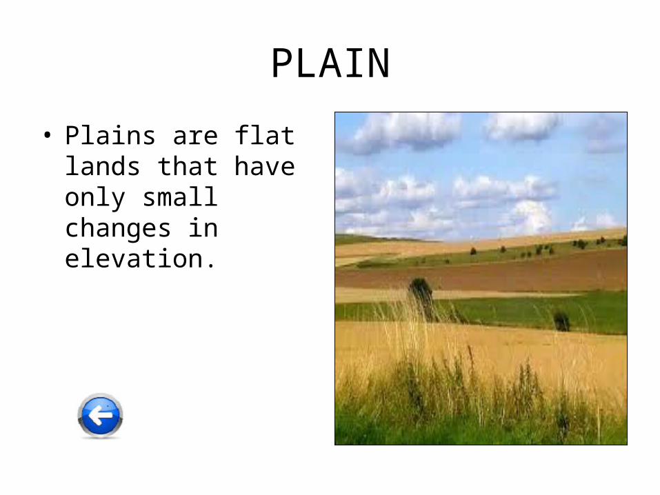
PLAIN
• Plains are flat lands that have only small changes in elevation.
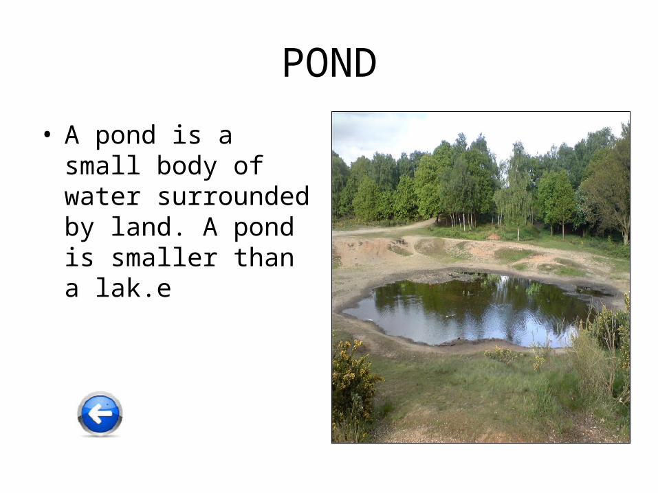
POND
• A pond is a small body of water surrounded by land. A pond is smaller than a lak.e
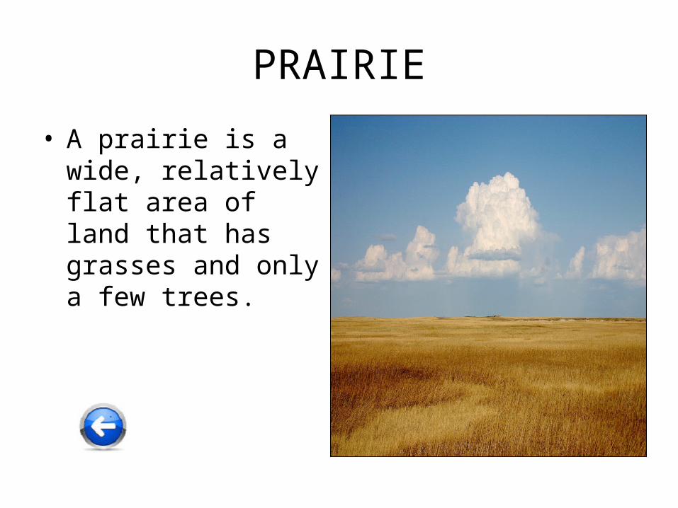
PRAIRIE
• A prairie is a wide, relatively flat area of land that has grasses and only a few trees.
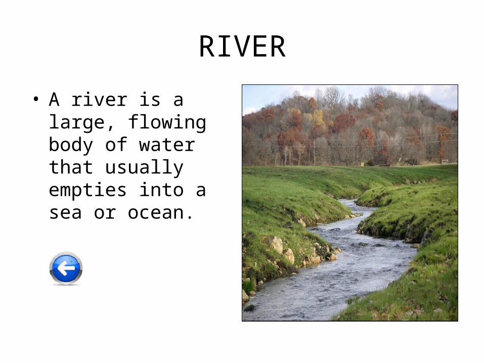
RIVER
• A river is a large, flowing body of water that usually empties into a sea or ocean.
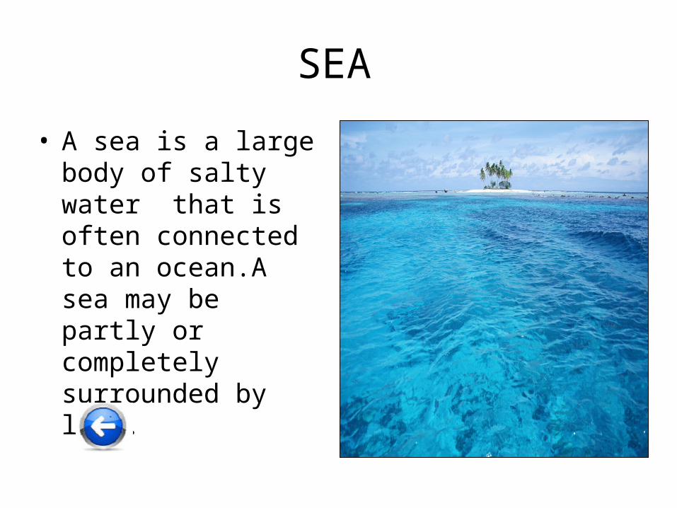
SEA
• A sea is a large body of salty water that is often connected to an ocean.A sea may be partly or completely surrounded by land.
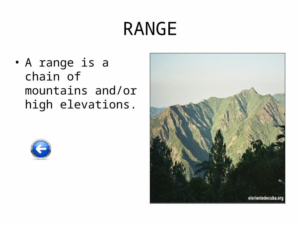
RANGE
• A range is a chain of mountains and/or high elevations.
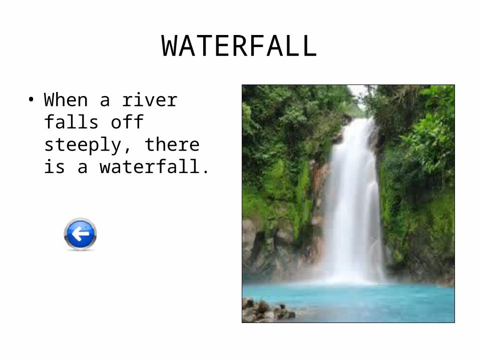
WATERFALL
• When a river falls off steeply, there is a waterfall.
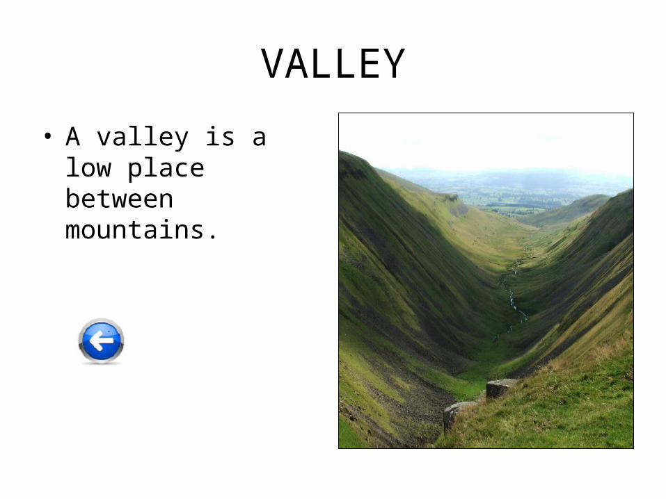
VALLEY
• A valley is a low place between mountains.
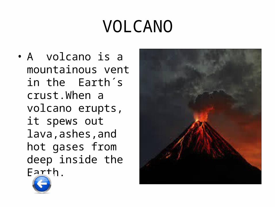
VOLCANO
• A volcano is a mountainous vent in the Earth´s crust.When a volcano erupts, it spews out lava,ashes,and hot gases from deep inside the Earth.
Escola Valeri Serra
Inspired by:
http://www.enchantedlearning.com/geography/glossary/