Embed Size (px)
Citation preview

Esri UK Annual Conference 2015
Understanding Spatial AnalysisRobin Appleby & Daniel CroninCustomer Success Consultants
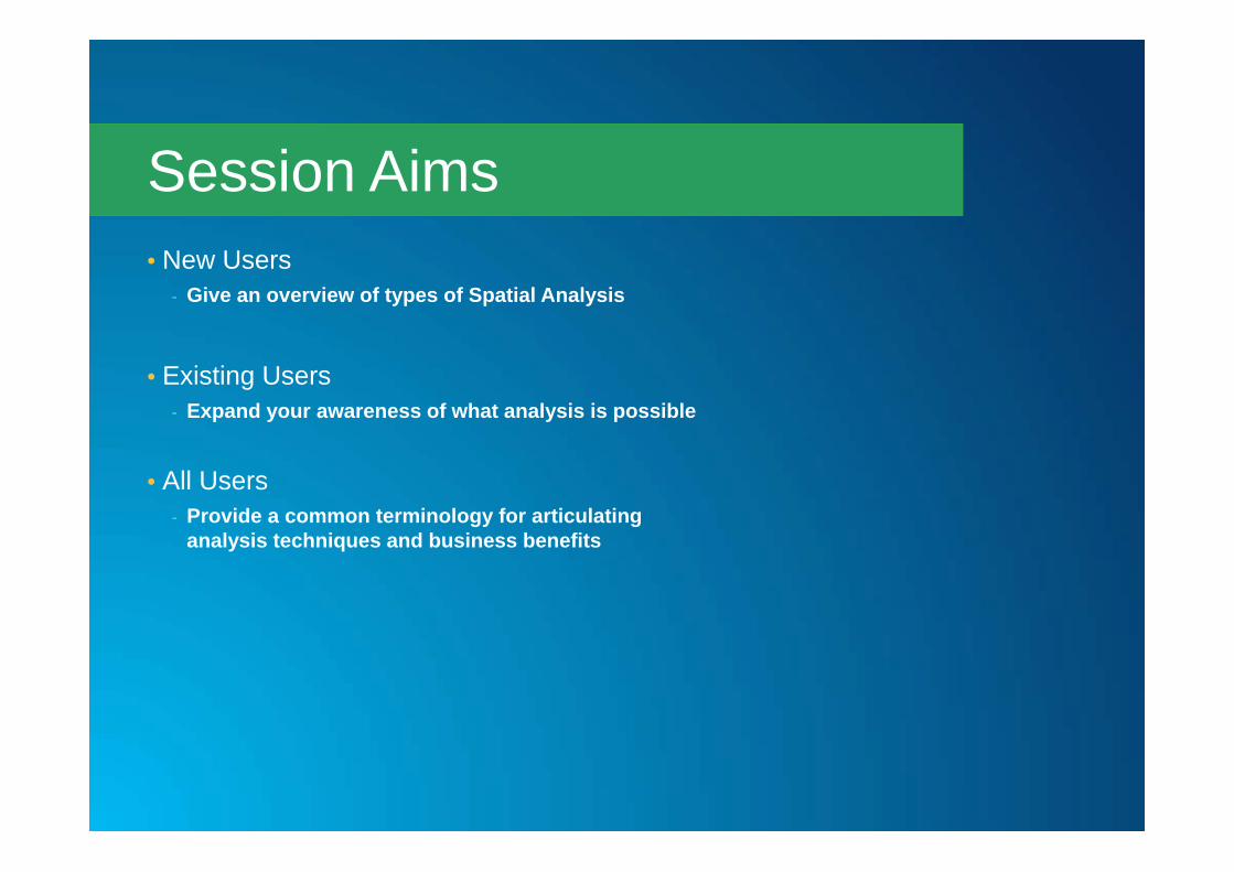
• New Users - Give an overview of types of Spatial Analysis
• Existing Users- Expand your awareness of what analysis is possible
• All Users- Provide a common terminology for articulating
analysis techniques and business benefits
Session Aims

• Spatial analysis is how we understand our world - mapping where things are, how they relate, what it all means, and what actions to take
What is Spatial Analysis?

• Understanding Where• Measuring Size and Distribution• Determining how places are related• Finding the best locations and paths• Detecting and quantifying patterns• Making Predictions
Categories of Spatial Analysis
http://www.esri.com/products/arcgis-capabilities/spatial-analysis

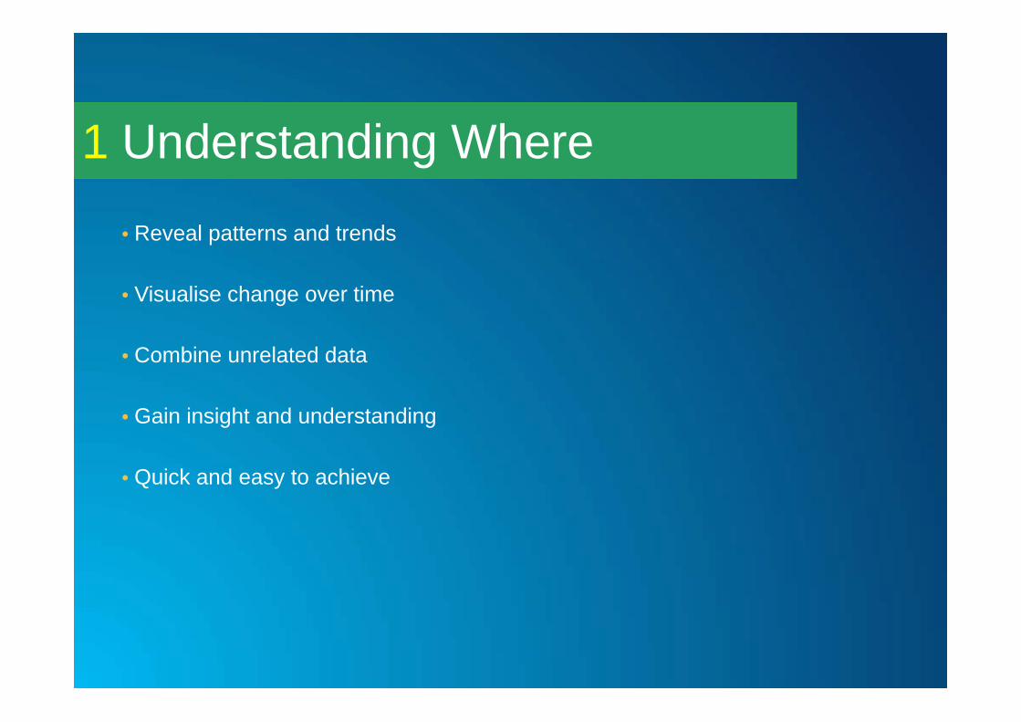
Understanding Where1

Understanding Where1
Understanding Where1
• Reveal patterns and trends
• Visualise change over time
• Combine unrelated data
• Gain insight and understanding
• Quick and easy to achieve

Measuring size, shape and distribution
2

Measuring size, shape and distribution
2

Measuring size, shape and distribution
2
• Gain new geographic insight into existing data (area / perimeter / height)
• Derive new insight through the spatial distribution of data (centre, extent)
• Scientific / Objective approach rather than subjective
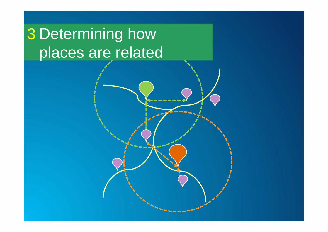
Determining how places are related
3
Determining how places are related
3

Determining how places are related
3
• Answer specific geographic questions ‘where is my nearest, how many are within?’ that would otherwise be impossible.
• Understand and measure impact of one dataset on another (insurance risk)
• Methodology for answering question can be shared with end users

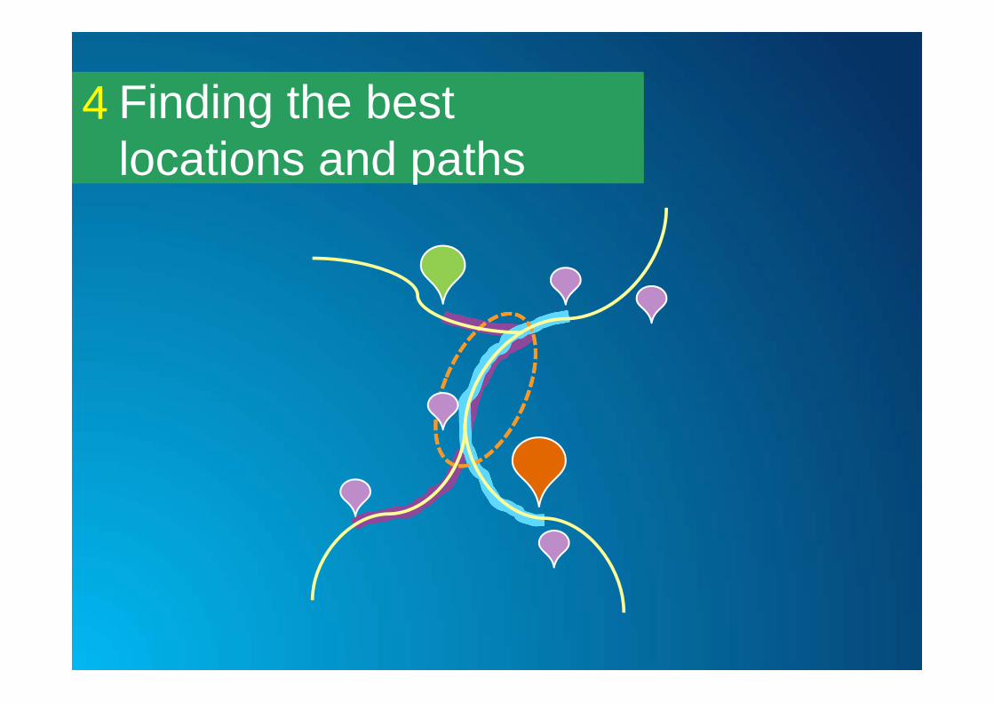
Finding the best locations and paths
4
Finding the best locations and paths
4

Finding the best locations and paths
4
• Scientifically ascertain most suitable locations based on measureable criteria
• Calculate least cost routes to save mileage / costs
• Quickly understand the impact of disruptions to a network and respond more appropriately.

Detecting and quantifying patterns
5

Detecting and quantifying patterns
5

Detecting and quantifying patterns
5
• Objectively ascertain significance of patterns/trends in data – should I be concerned?
• Better understand the processes affecting outcomes
• Understand significance of change over time

Making predictions6

Making predictions
10
5
?
??
6
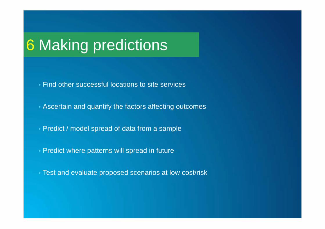
Making predictions6
• Find other successful locations to site services
• Ascertain and quantify the factors affecting outcomes
• Predict / model spread of data from a sample
• Predict where patterns will spread in future
• Test and evaluate proposed scenarios at low cost/risk

• Understanding Where• Measuring Size and Distribution• Determining how places are related• Finding the best locations and paths• Detecting and quantifying patterns• Making Predictions
Categories of Spatial Analysis
http://www.esri.com/products/arcgis-capabilities/spatial-analysis
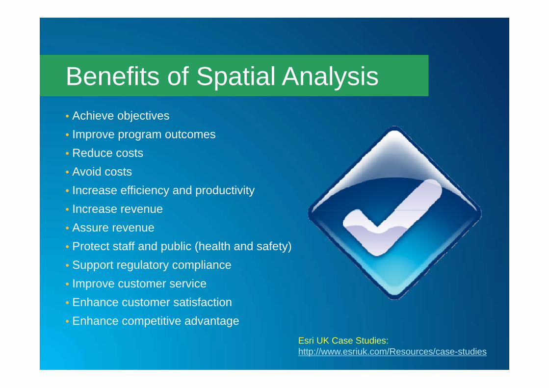
• Achieve objectives• Improve program outcomes• Reduce costs• Avoid costs• Increase efficiency and productivity• Increase revenue• Assure revenue• Protect staff and public (health and safety)• Support regulatory compliance• Improve customer service• Enhance customer satisfaction• Enhance competitive advantage
Benefits of Spatial Analysis
Esri UK Case Studies:http://www.esriuk.com/Resources/case-studies