Embed Size (px)
Citation preview

1
Mapping forest loss &
degradation using
satellite imagery
Paul Gager
Technical Director

Drivers of Deforestation and
Degradation
2
Logging
(Mechanized)
Agro-Forestry
Plantations
Infrastructure and
Land Development
Logging
(Artisanal/RIL –
reduced impact
logging)
Swidden
Agriculture
Wildfires
Why monitor ?
• Land use management
• Protected area management
• Forest resource management
• Forest Carbon assessment
3
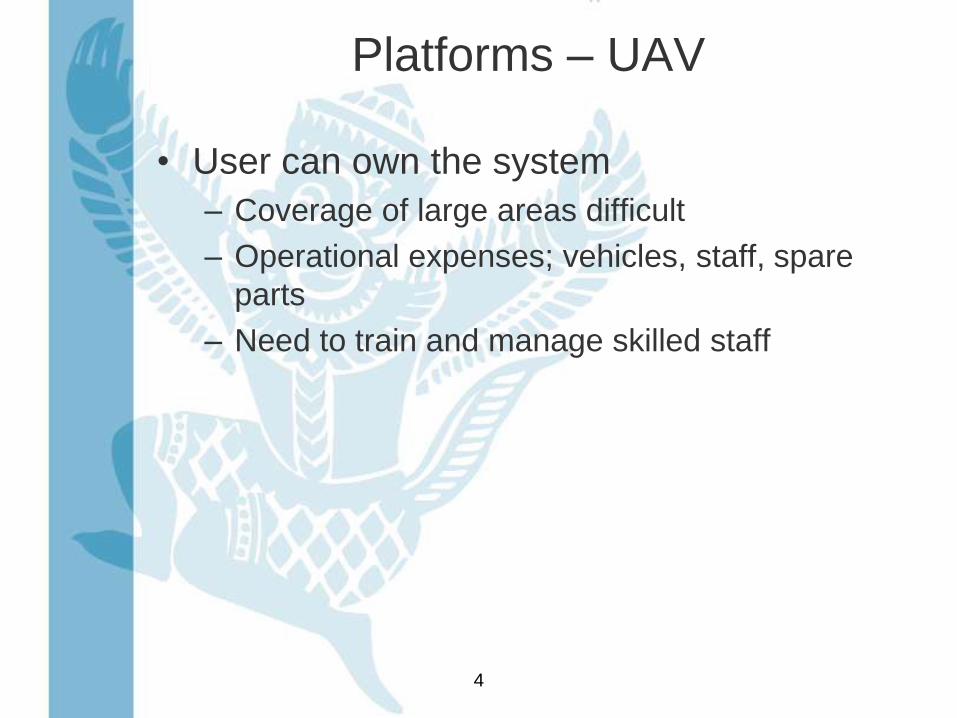
Platforms – UAV
• User can own the system
– Coverage of large areas difficult
– Operational expenses; vehicles, staff, spare
parts
– Need to train and manage skilled staff
4
5
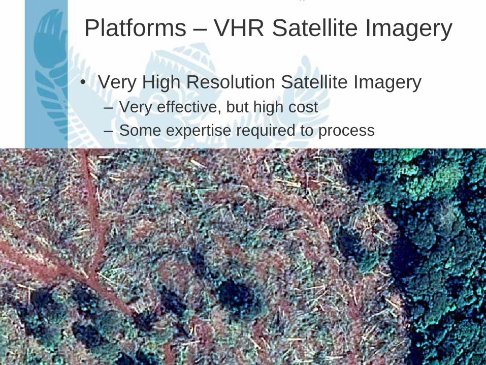
Platforms – VHR Satellite Imagery
• Very High Resolution Satellite Imagery
– Very effective, but high cost
– Some expertise required to process
6
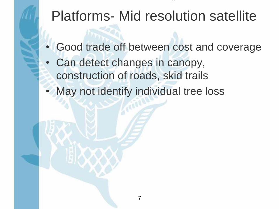
Platforms- Mid resolution satellite
• Good trade off between cost and coverage
• Can detect changes in canopy,
construction of roads, skid trails
• May not identify individual tree loss
7

RapidEye – 5m pixels
8

One year later
9

Mid res compared to Aerial Photo
10

Platforms – Low and Mid-res
• Often free or very low cost
• Mainly useful for land conversion mapping
or mapping very large areas
11

Mapping Techniques
12

Manual Approaches: Inconsistent
Mapping Between Years
13

Another example..
14

Segmentation and Classification
15Original Image Image Objects Classified Image
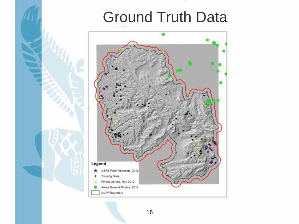
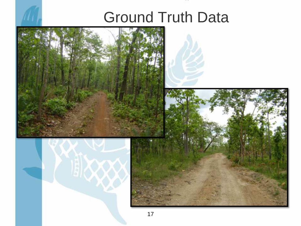
Ground Truth Data
16
Ground Truth Data
17

Mapping Change
18
Year 1 Year 2
Change Image

Classification of Change
19

Natural Deforestation
20

Questions ?
21
![Satellite Imagery Product Specificationslps16.esa.int/posterfiles/paper1213/[RD16]_RE_Product... · 2016-04-22 · Satellite Imagery Product Specifications 6 2 RAPIDEYE SATELLITE](https://img.pdfslide.net/doc/110x75/5eba16697328255ddd5746a8/satellite-imagery-product-rd16reproduct-2016-04-22-satellite-imagery-product.jpg)