Embed Size (px)
Citation preview
Aviation/Turbulence Forecasting
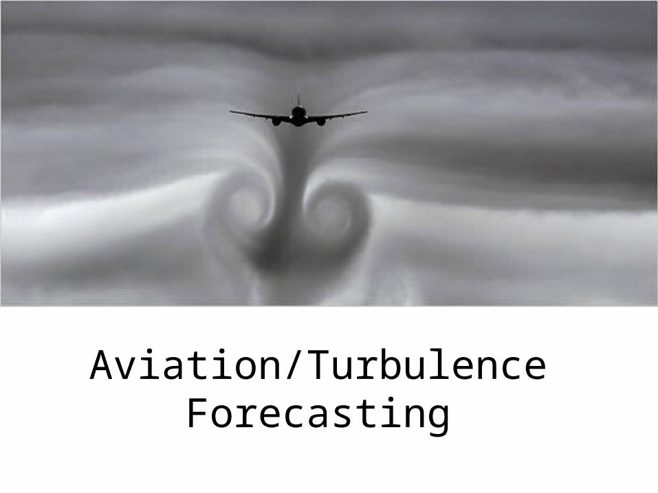
Aviation Weather Center (AWC)
• National Weather Service office
• Turbulence, flight rules, upper level progs
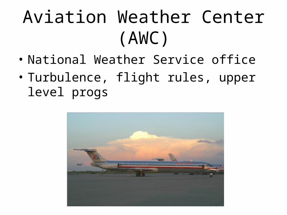
SIGWXCharts (High-level)
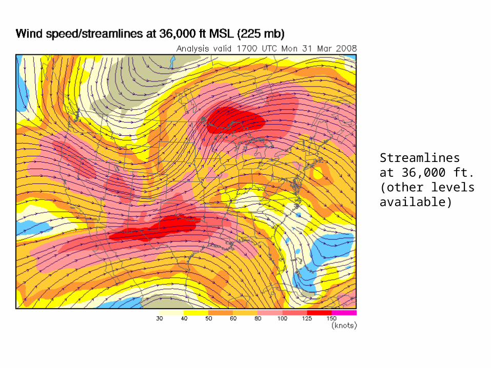
Streamlinesat 36,000 ft.(other levelsavailable)
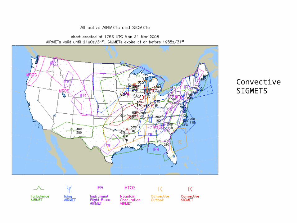
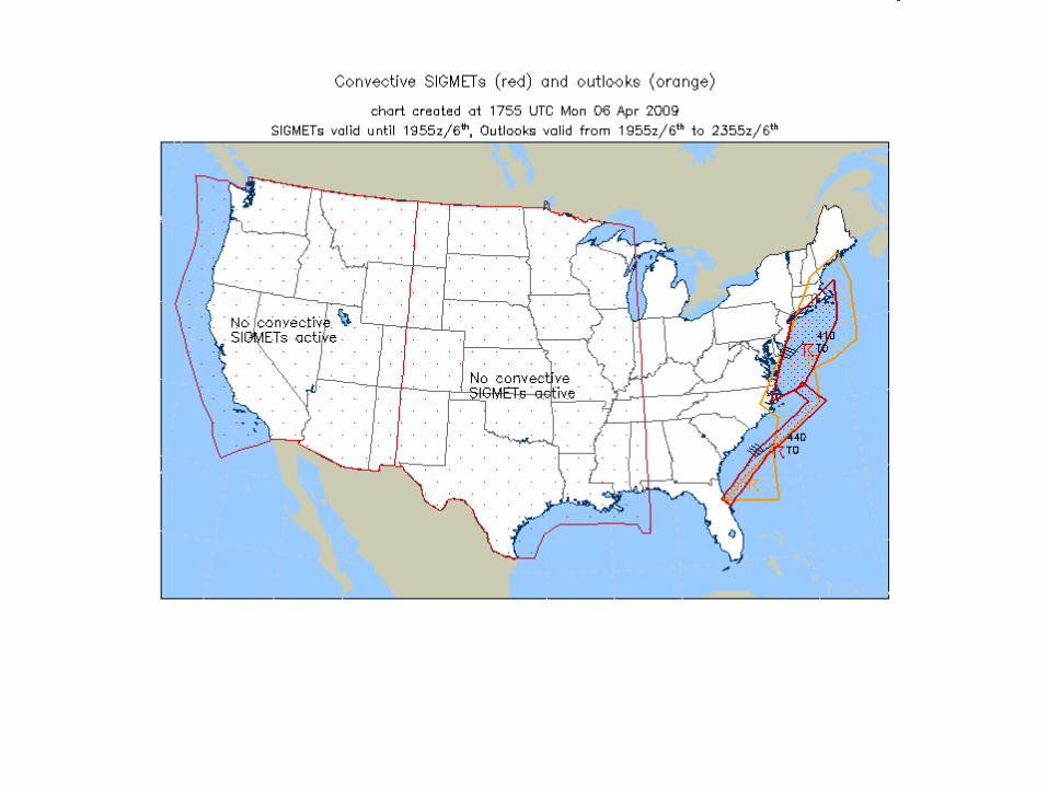
ConvectiveSIGMETS
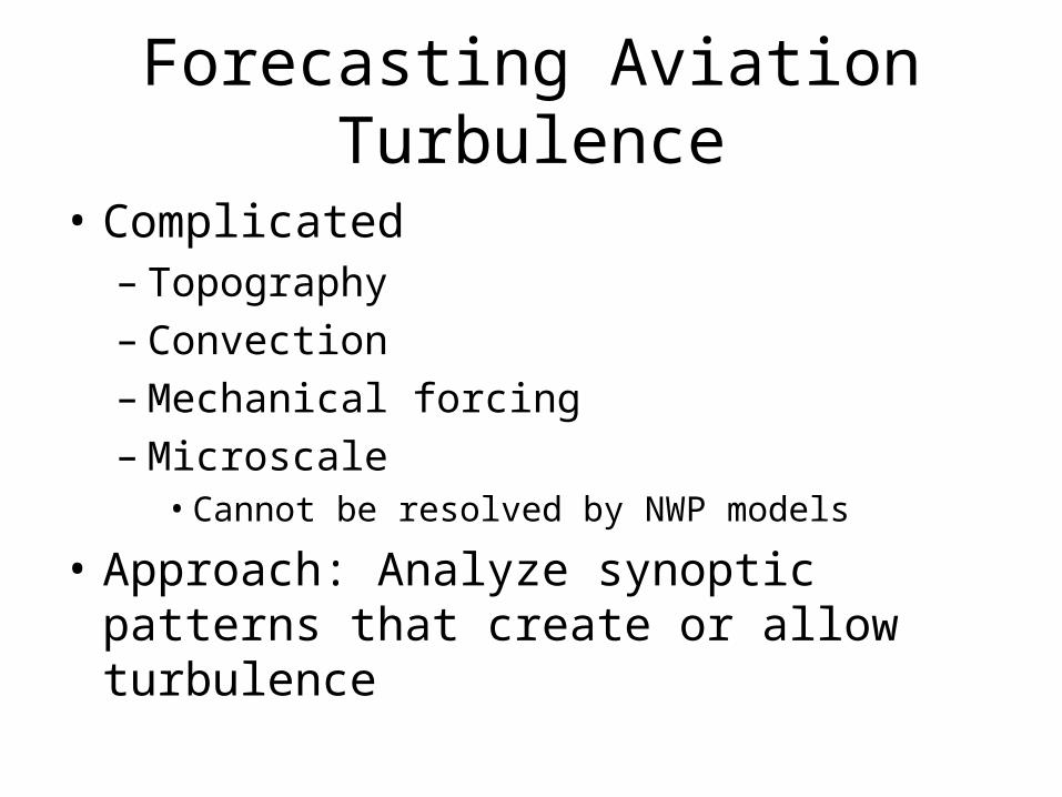
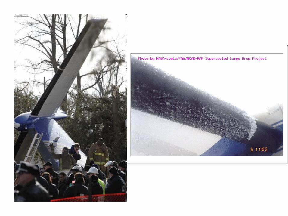
Forecasting Aviation Turbulence
• Complicated– Topography– Convection– Mechanical forcing– Microscale
• Cannot be resolved by NWP models
• Approach: Analyze synoptic patterns that create or allow turbulence
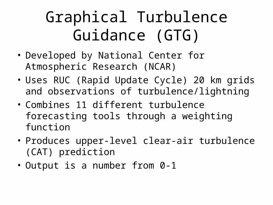
Graphical Turbulence Guidance (GTG)
• Developed by National Center for Atmospheric Research (NCAR)
• Uses RUC (Rapid Update Cycle) 20 km grids and observations of turbulence/lightning
• Combines 11 different turbulence forecasting tools through a weighting function
• Produces upper-level clear-air turbulence (CAT) prediction
• Output is a number from 0-1

This value is used in coordination with other observations to produce a 3,6,9, and 12 hour forecast of turbulence
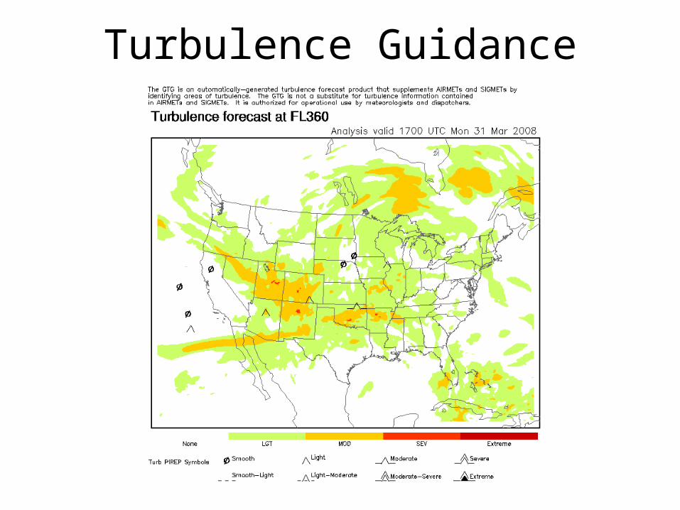
Turbulence Guidance
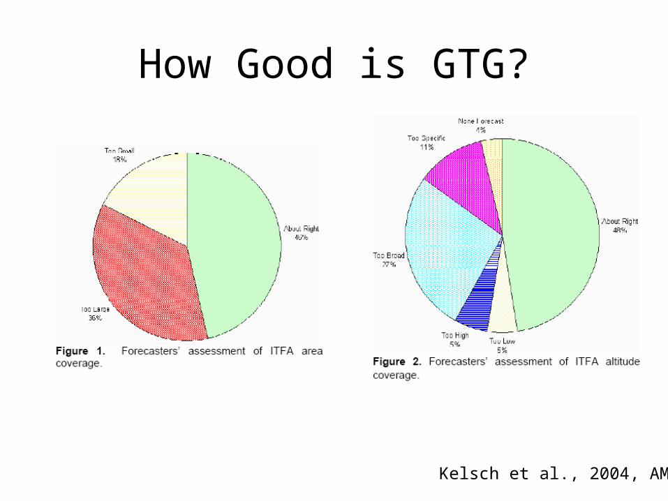
How Good is GTG?
Kelsch et al., 2004, AMS
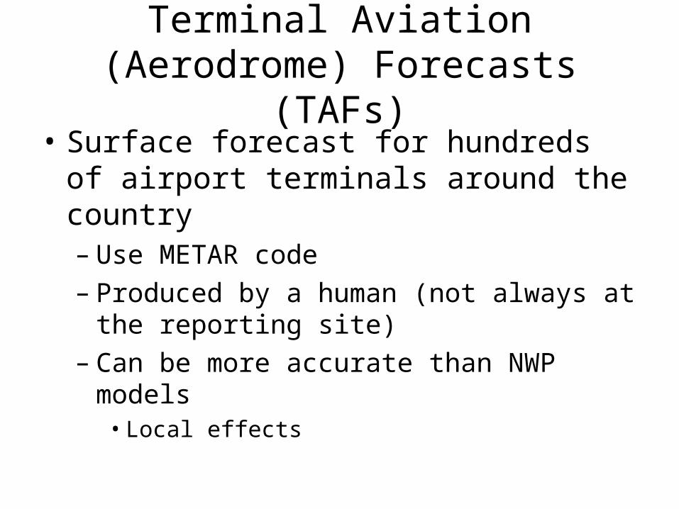
Terminal Aviation (Aerodrome) Forecasts (TAFs)
• Surface forecast for hundreds of airport terminals around the country– Use METAR code– Produced by a human (not always at the
reporting site)– Can be more accurate than NWP models
• Local effects
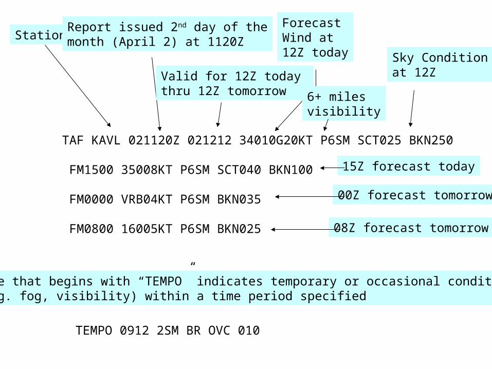
TAF KAVL 021120Z 021212 34010G20KT P6SM SCT025 BKN250
FM1500 35008KT P6SM SCT040 BKN100
FM0000 VRB04KT P6SM BKN035
FM0800 16005KT P6SM BKN025
StationReport issued 2nd day of themonth (April 2) at 1120Z
Valid for 12Z today thru 12Z tomorrow
Forecast Wind at12Z today
6+ milesvisibility
Sky Conditionat 12Z
15Z forecast today
00Z forecast tomorrow
08Z forecast tomorrow
Line that begins with “TEMPO” indicates temporary or occasional conditions(e.g. fog, visibility) within a time period specified
TEMPO 0912 2SM BR OVC 010
Flight Path Tool
http://adds.aviationweather.gov/flight_path/