Embed Size (px)
Citation preview

Customer PremiseInformation Lookup Mapping With
ArcGIS OnlineJamie Patterson
Senior GIS Technician
January 19, 2016


■ Jamie Patterson:• ASU M.A. in Geography, 2008• 10 years in the GIS industry• Sr. GIS Technician, worked at EPCOR Water
since 2009
Bio

Overview■ About EPCOR Water■ Customer Premise Information Lookup
• Existing Process• AGOL Application: Objective & Goal• Implementation• Challenges
■ ArcGIS Online• Other applications• What’s next?
■ Lessons Learned■ Q & A

US Operations14 Water Districts – 6 Wastewater Districts

EPCOR’s Facilities in Phoenix Metro

Water Infrastructure
Hydrants 14,447
Valves 48,350
WaterMains
2,492 miles
About EPCOR Water Largest private water
utility in Arizona & New Mexico 200,000+ customer
connections Population served over
350,000 280 US based
employees 3 GIS professionals
Wastewater InfrastructureManholes 12,765Cleanouts 1,571Sewer Mains 710 miles

EPCOR Water’s GIS Evolution
Vellum, Paper Maps, CAD
ArcGISDesktop Software
ArcGIS Server &Silverlight Web Viewer
ArcGIS Online
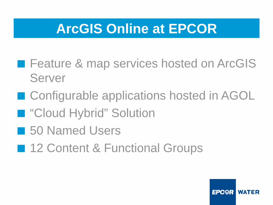
■ Feature & map services hosted on ArcGIS Server
■ Configurable applications hosted in AGOL■ “Cloud Hybrid” Solution■ 50 Named Users■ 12 Content & Functional Groups
ArcGIS Online at EPCOR

What is a Customer Premise?
■ Physical location where EPCOR serves water, collects wastewater, or both.
■ Domestic, commercial, or irrigation metering.
■ Location based premise codes help determine how a customer is billed.

Customer Premise Coding
State
County
Water District
Public Water System
Wastewater District
Area
Region
Tax District
Work Zone
Meter Route

How Do We Assign Codes to a Customer Premise?
Correct set of codes for this premise
GISOverlay
ApplyBusinessRules
State Area
County Region
Water District Tax District
Wastewater District Work Zone
Public Water System Meter Route

Old Premise Validation ProcessLarge overview wall maps:showing municipal and EPCOR water & wastewater district boundaries:

Old Premise Validation Process
Handheld maps:Based on an address, a user must determine district, division, region, water system, tax district and more.

Objective:Create a tool where users click on the map, search by address, or enter a meter route # and get a list of location specific premise codes.
Goal:Replace paper maps with a more efficient premise code lookup tool – AGOL based application.
Customer Premise Information Lookup Application

Customer Premise Information Lookup Application

Customer Premise Information Lookup Application

Customer Premise Information Lookup Application

Customer Premise Information Lookup Application

■ ArcGIS 10.2.2 for Desktop• Advanced License
1. Created a single GIS layer for premise information lookup.Geoprocessing tool: Identity of municipal and county boundaries to water and wastewater boundaries.
2. Applied if/then business rule logic to Identity layer to manually attribute all remaining premise codes.• For example: A location with Water District: X and Tax
District: Y must be populated with Region Z.
Implementation: Lookup Layer

1. Published Lookup Layer from ArcGIS for Desktop as a hosted AGOL feature service.
2. Created web map from Lookup Layer feature service:• Add meter routes layer for search purposes• Define symbology• Set extent• Add labels• Enable popups (for information lookup)
Implementation: Web Map Publication

Information Lookup Template

Configuration: Information Lookup Template

Configuration: Information Lookup Template

Configuration: Information Lookup Template

Combining data from multiple sources with varying degrees of accuracy may not meet your current and future needs.
Challenges
Meter routes overlap
Rebuild meter route boundaries layer
Jurisdictions Only one jurisdiction per meter route
Split meter routes
Consolidate meter routes
Data and app maintenance
Defined maintenance process
Issue Solution

Challenge: Spatial Accuracy
These meter routeboundaries overlap

Solution: Spatial Accuracy
These meter routeboundaries overlap
A. Clean up topology to ensure meter routes do not overlap or…
B. Rebuild meter route boundaries from the parcel up

Challenge: Jurisdictions
County island

Solution: Jurisdictions
Reshape these routesto fit County island
These meter route boundaries need to be reshaped:One jurisdiction per meter route.

Challenge: Split Routes
Does this make sense?
Happy Trails

Solution: Split Routes
Consolidate theseinto a single route
Happy Trails

Premise Lookup App■ No scale limitations■ Easy to configure
and deploy across EPCOR
■ Single lookup destination
Paper vs AGOL
Paper Maps■ Scale limitations■ Paper intensive■ Cross-reference
multiple maps

Why ArcGIS Online?
■ Configurable templates■ Agile approach: Quick wins■ Expand the reach of your GIS■ Do more with the same:
Leverage your existing GIS■ Other AGOL applications at EPCOR…

Find Your District
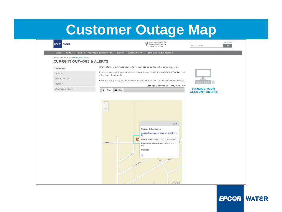
Customer Outage Map

What’s Next?
■ Data cleanup:• Rebuild meter routes and lookup layer from
the parcel up.■ Refine and extend Customer Premise
Information Lookup application.■ New applications: Story Maps!
Lessons Learned
■ Be focused – select high impact maps and apps.
■ Data is key – Premise App helped to identify deficiencies.
■ Education/Communication