Embed Size (px)
Citation preview
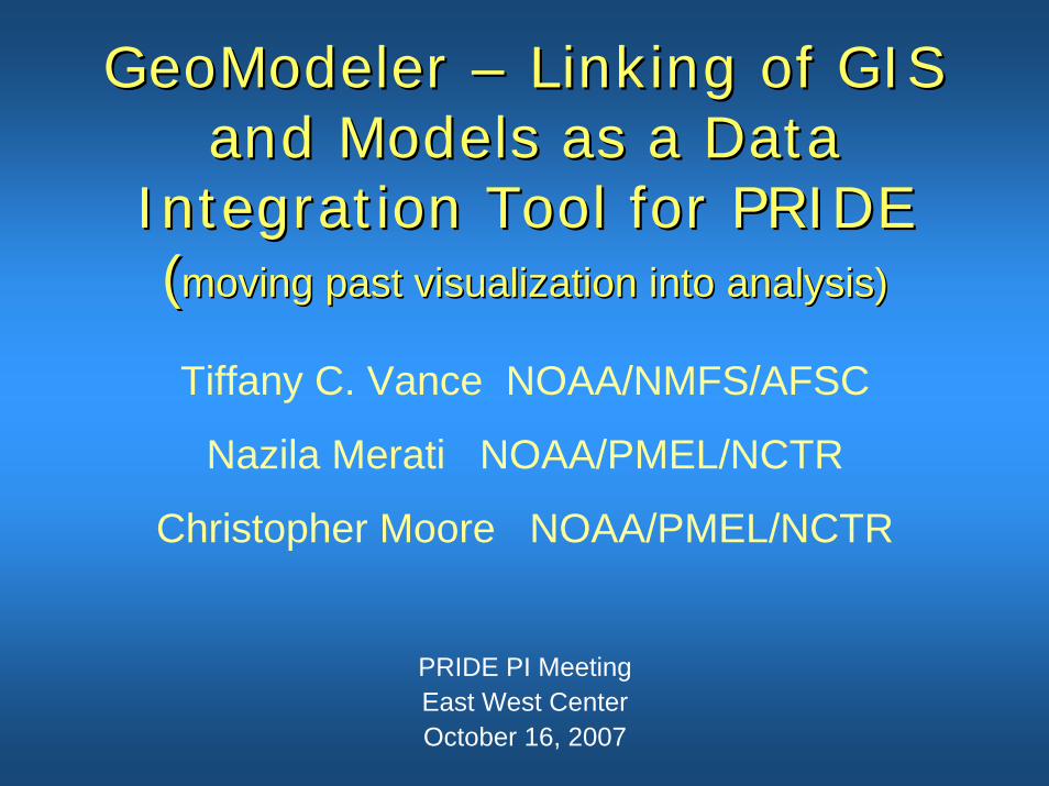
GeoModelerGeoModeler –– Linking of GIS Linking of GIS and Models as a Data and Models as a Data
Integration Tool for PRIDEIntegration Tool for PRIDE((moving past visualization into analysis)moving past visualization into analysis)
PRIDE PI MeetingEast West Center October 16, 2007
Tiffany C. Vance NOAA/NMFS/AFSC
Nazila Merati NOAA/PMEL/NCTR
Christopher Moore NOAA/PMEL/NCTR
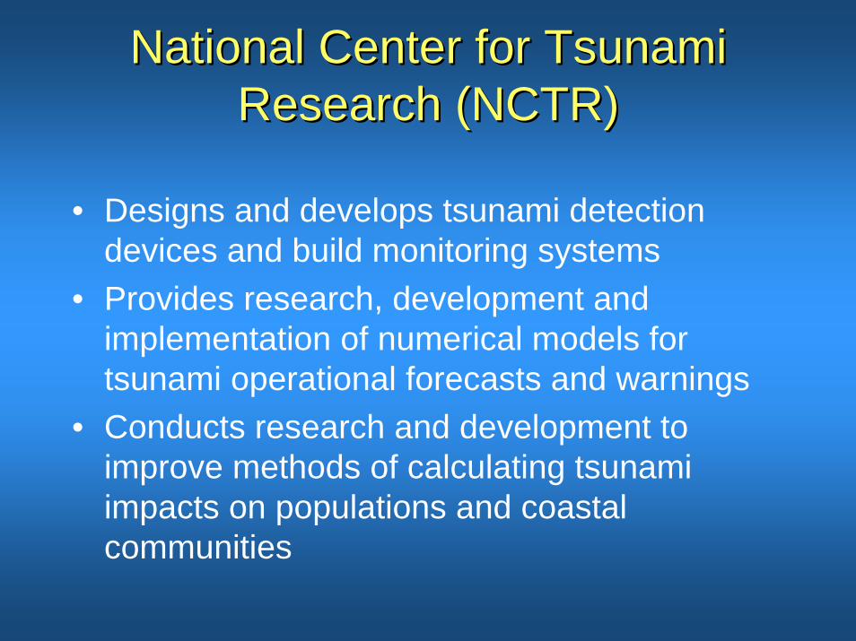
National Center for Tsunami National Center for Tsunami Research (NCTR)Research (NCTR)
• Designs and develops tsunami detection devices and build monitoring systems
• Provides research, development and implementation of numerical models for tsunami operational forecasts and warnings
• Conducts research and development to improve methods of calculating tsunami impacts on populations and coastal communities
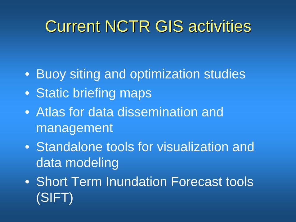
Current NCTR GIS activitiesCurrent NCTR GIS activities
• Buoy siting and optimization studies• Static briefing maps • Atlas for data dissemination and
management• Standalone tools for visualization and
data modeling• Short Term Inundation Forecast tools
(SIFT)
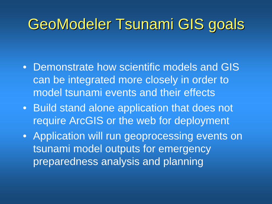
GeoModelerGeoModeler Tsunami GIS goalsTsunami GIS goals
• Demonstrate how scientific models and GIS can be integrated more closely in order to model tsunami events and their effects
• Build stand alone application that does not require ArcGIS or the web for deployment
• Application will run geoprocessing events on tsunami model outputs for emergency preparedness analysis and planning
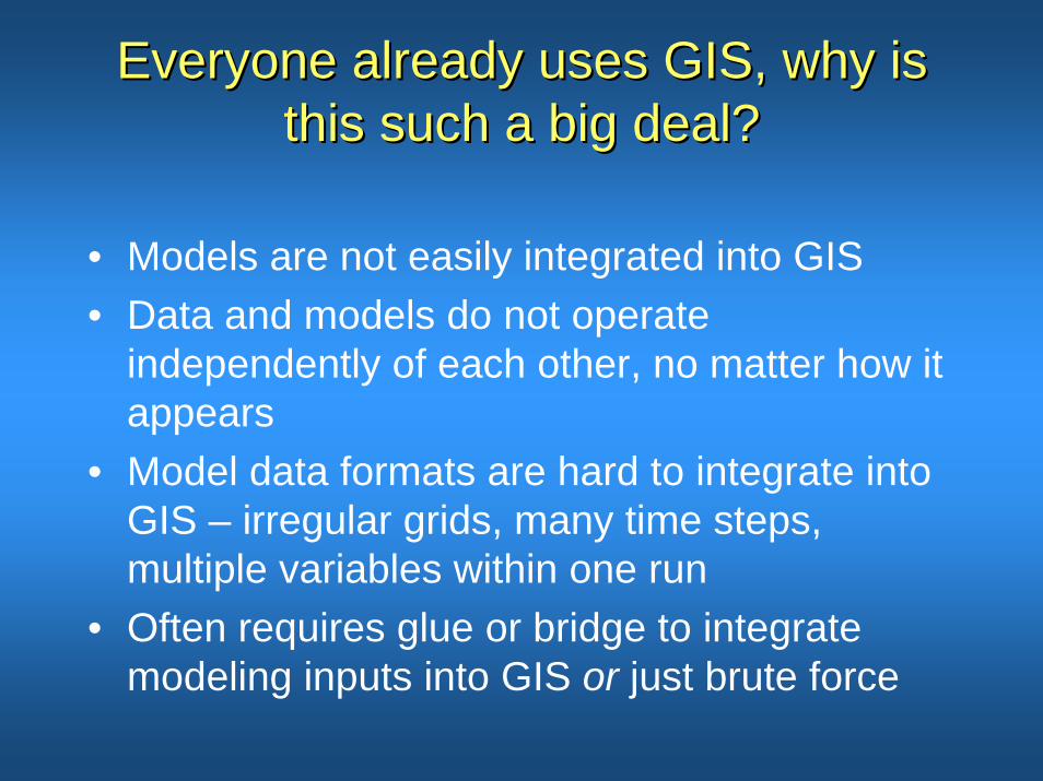
Everyone already uses GIS, why is Everyone already uses GIS, why is this such a big deal?this such a big deal?
• Models are not easily integrated into GIS• Data and models do not operate
independently of each other, no matter how it appears
• Model data formats are hard to integrate into GIS – irregular grids, many time steps, multiple variables within one run
• Often requires glue or bridge to integrate modeling inputs into GIS or just brute force
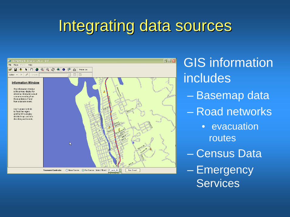
Integrating data sourcesIntegrating data sources
• GIS information includes– Basemap data– Road networks
• evacuation routes
– Census Data– Emergency
Services
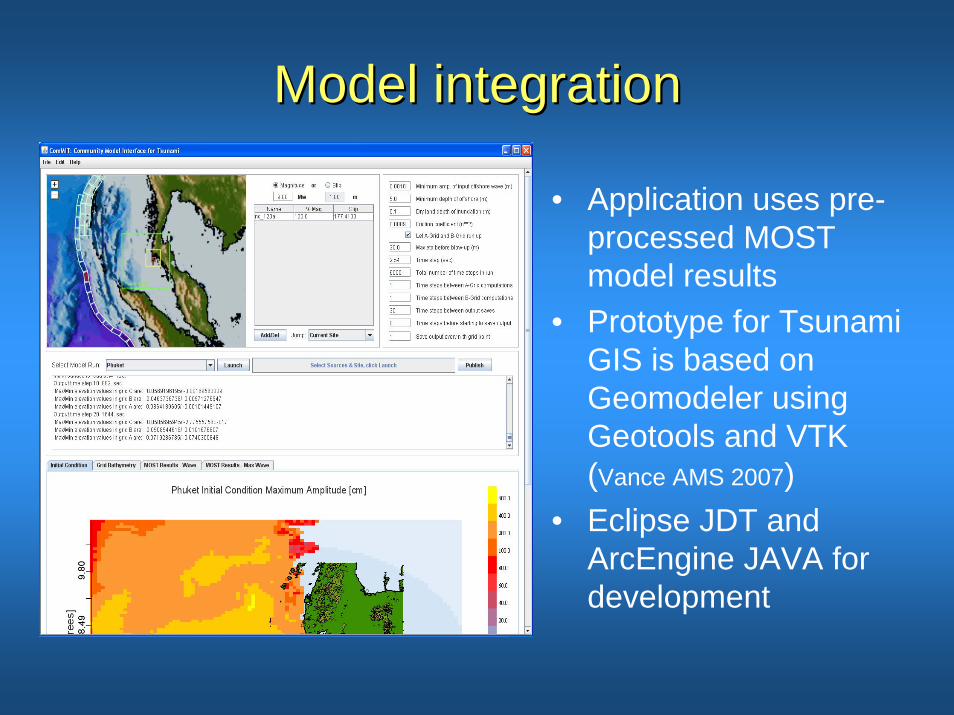
Model integrationModel integration
• Application uses pre-processed MOST model results
• Prototype for Tsunami GIS is based on Geomodeler using Geotools and VTK (Vance AMS 2007)
• Eclipse JDT and ArcEngine JAVA for development
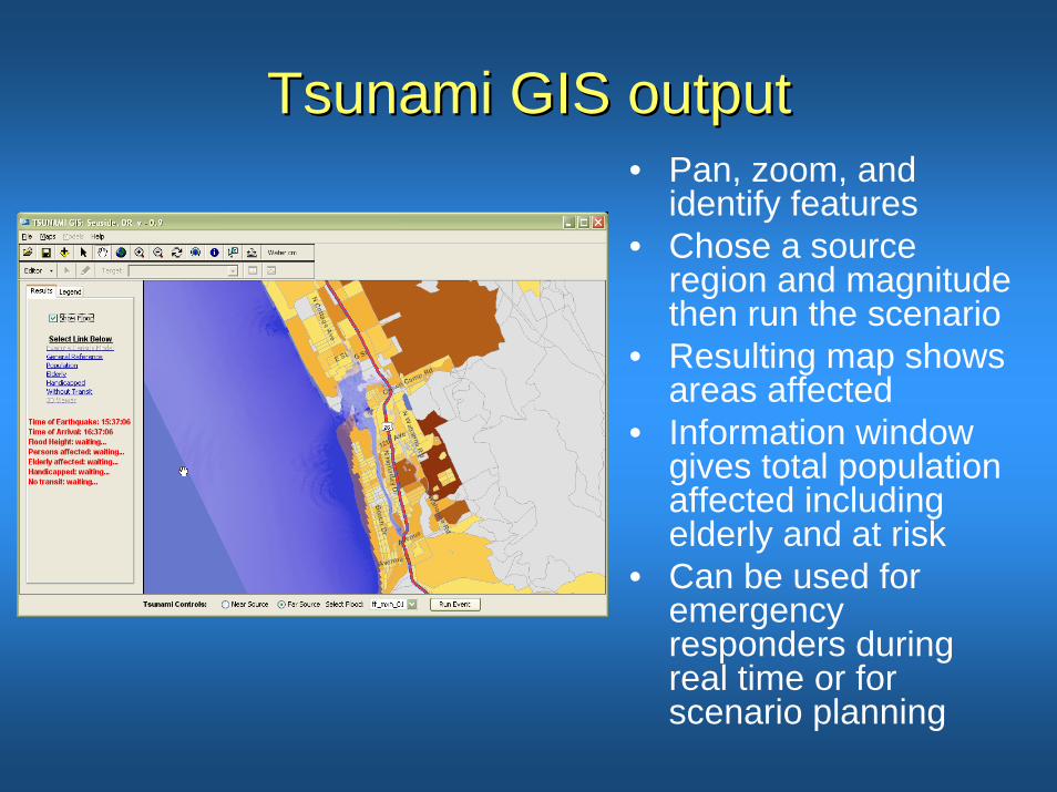
Tsunami GIS outputTsunami GIS output• Pan, zoom, and
identify features• Chose a source
region and magnitude then run the scenario
• Resulting map shows areas affected
• Information window gives total population affected including elderly and at risk
• Can be used for emergency responders during real time or for scenario planning
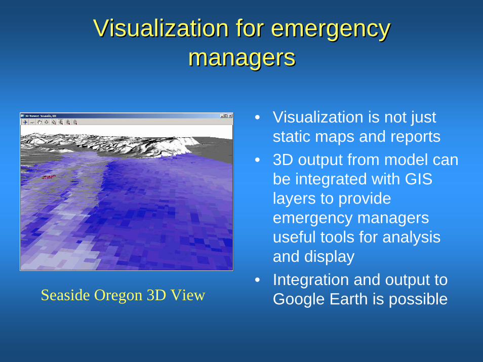
Visualization for emergency Visualization for emergency managersmanagers
• Visualization is not just static maps and reports
• 3D output from model can be integrated with GIS layers to provide emergency managers useful tools for analysis and display
• Integration and output to Google Earth is possibleSeaside Oregon 3D View
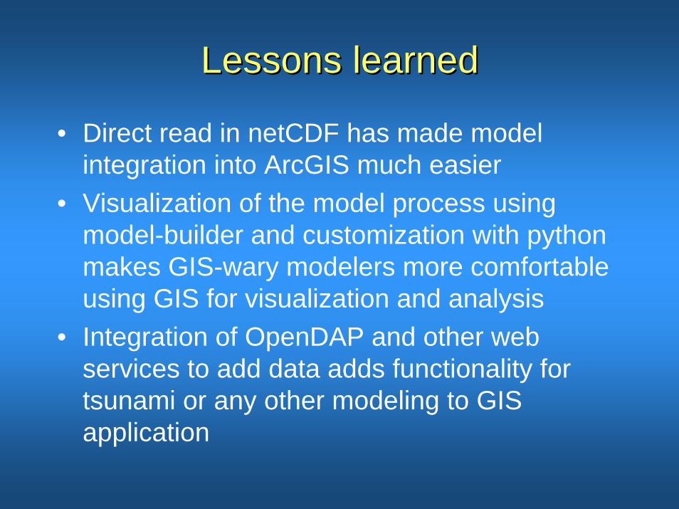
Lessons learnedLessons learned
• Direct read in netCDF has made model integration into ArcGIS much easier
• Visualization of the model process using model-builder and customization with python makes GIS-wary modelers more comfortable using GIS for visualization and analysis
• Integration of OpenDAP and other web services to add data adds functionality for tsunami or any other modeling to GIS application

Challenges encounteredChallenges encountered
• Data integration, not all netCDF is standard• Getting modelers to use a new application is
challenging, using off the shell application is even more of a challenge
• Data granularity – fine scale of census data versus modeling the entire Pacific basis
• Adapting to rapidly developing technologies e.g. Google Earth
• Integrating social science into science
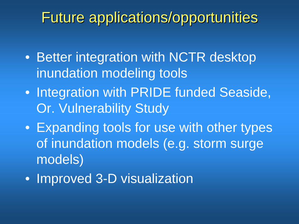
Future applications/opportunitiesFuture applications/opportunities
• Better integration with NCTR desktop inundation modeling tools
• Integration with PRIDE funded Seaside, Or. Vulnerability Study
• Expanding tools for use with other types of inundation models (e.g. storm surge models)
• Improved 3-D visualization
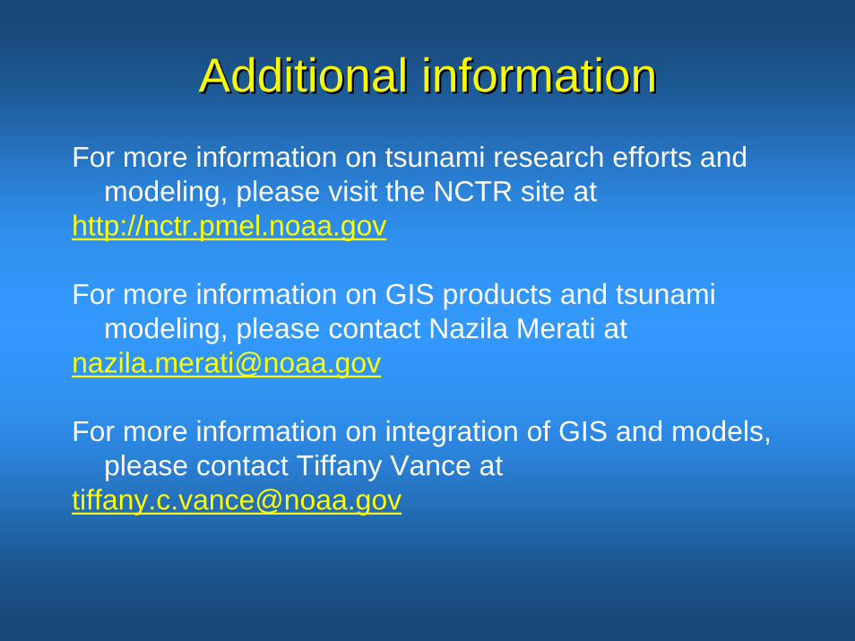
Additional informationAdditional informationFor more information on tsunami research efforts and
modeling, please visit the NCTR site at http://nctr.pmel.noaa.gov
For more information on GIS products and tsunami modeling, please contact Nazila Merati at
For more information on integration of GIS and models, please contact Tiffany Vance at

PRIDE in the PRIDE in the PribilofsPribilofs