Embed Size (px)
Citation preview
IntroductionNational Hydrography Dataset Plus
(NHDPlus)Version 2
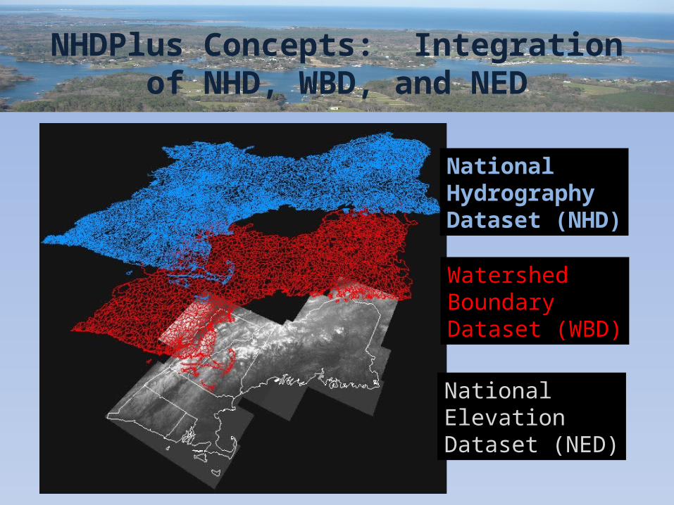
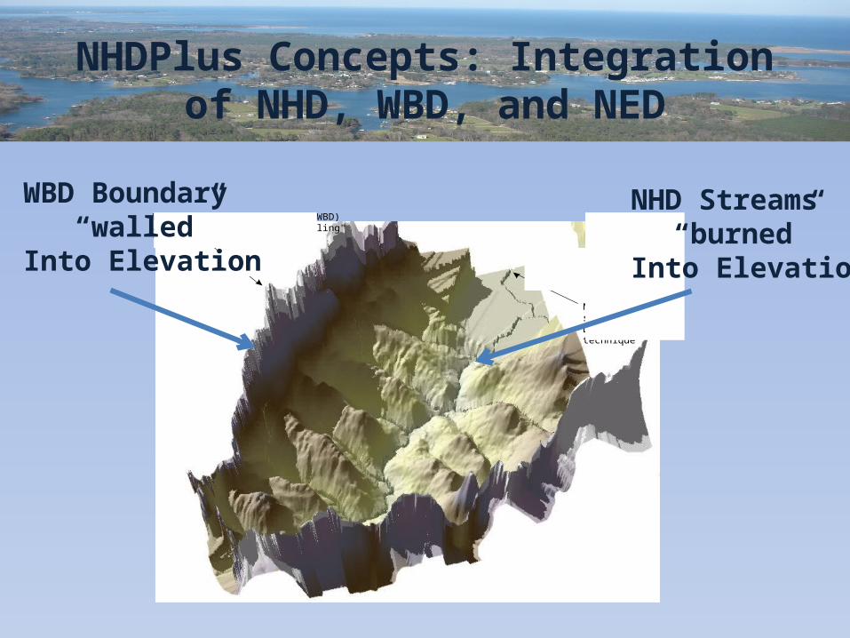
NHDPlus Concepts: Integration of NHD, WBD, and NED
NationalHydrographyDataset (NHD)
Watershed BoundaryDataset (WBD)
National ElevationDataset (NED)
NHDPlus Concepts: Integration of NHD, WBD, and NED
Watershed Boundary Dataset (WBD)added to DEM surface in "walling"technique
NHD stream cellssubtracted fromDEM surface in "burning"technique
NHD Streams “burned”
Into Elevation
WBD Boundary“walled”
Into Elevation
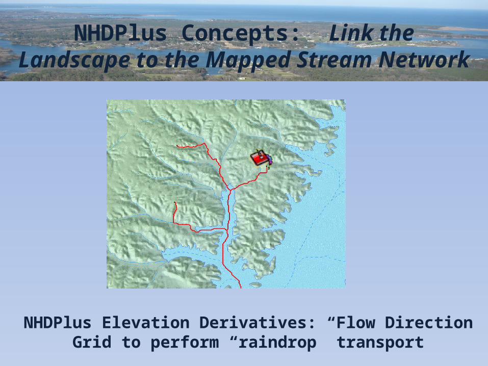
NHDPlus Concepts: Link the Landscape to the Mapped Stream Network
NHDPlus Elevation Derivatives: Flow Direction Grid to perform “raindrop” transport
NHDPlus Concepts: Link the Landscape to the Mapped Stream Network
NHDPlus Catchments: Define the land surface that drains to each stream segment.
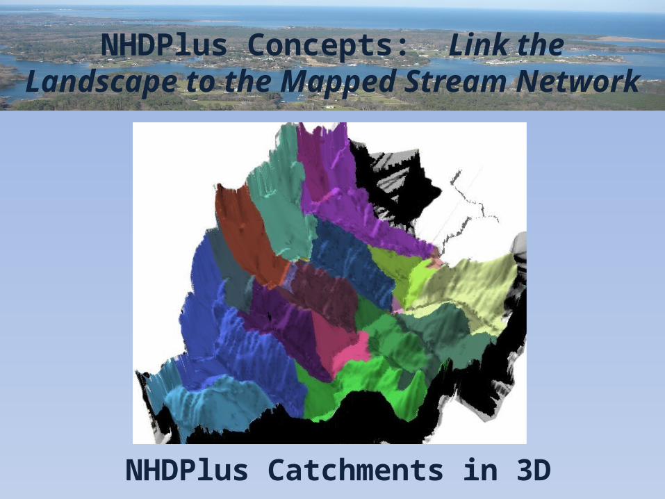
NHDPlus Concepts: Link the Landscape to the Mapped Stream Network
NHDPlus Catchments in 3D
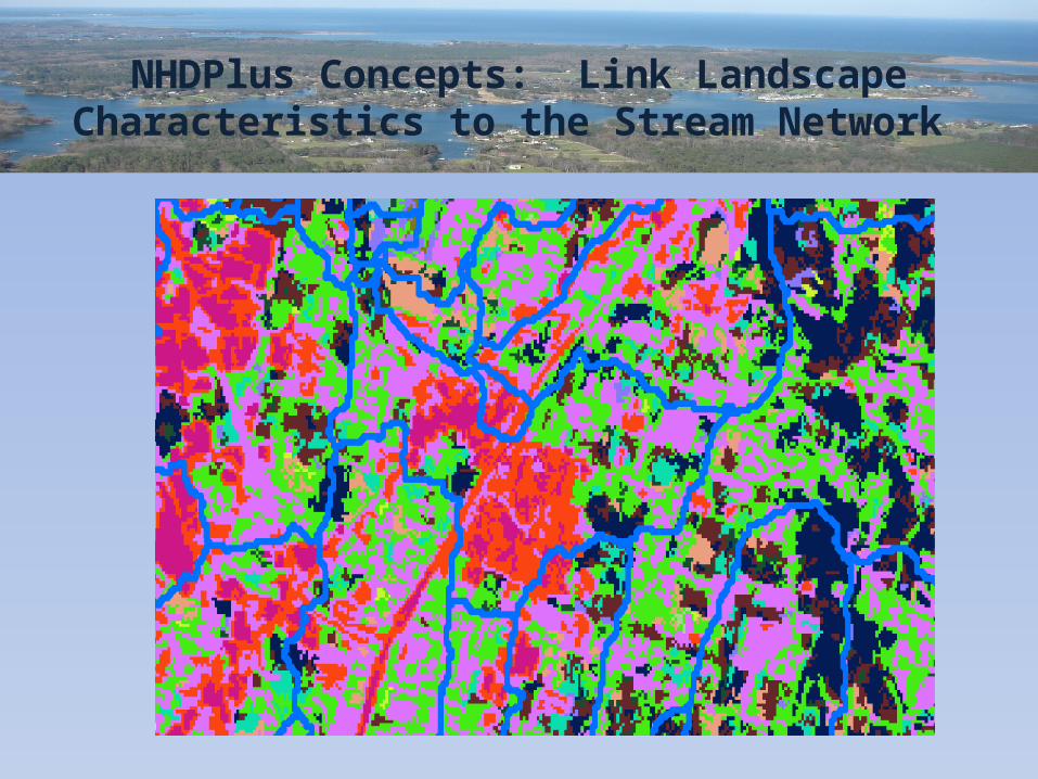
NHDPlus Concepts: Link Landscape Characteristics to the Stream Network
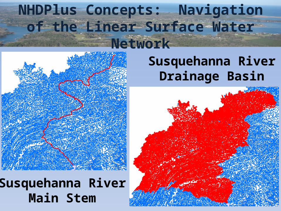
NHDPlus Concepts: Navigation of the Linear Surface Water Network
Susquehanna RiverMain Stem
Susquehanna RiverDrainage Basin
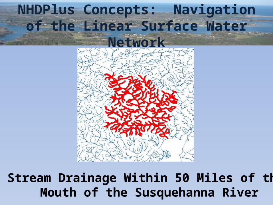
NHDPlus Concepts: Navigation of the Linear Surface Water Network
Stream Drainage Within 50 Miles of the Mouth of the Susquehanna River
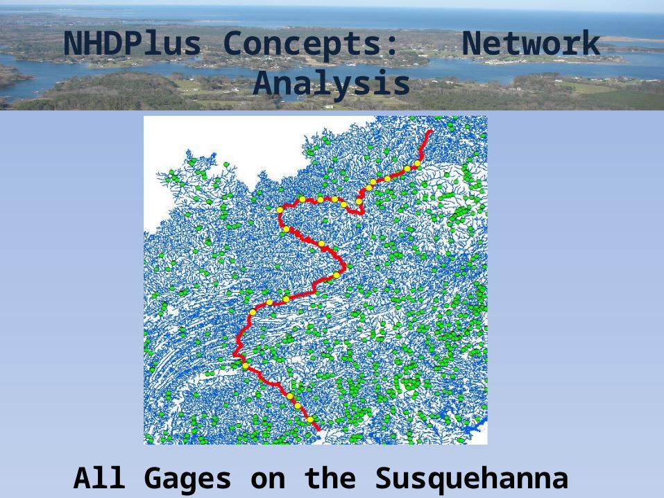
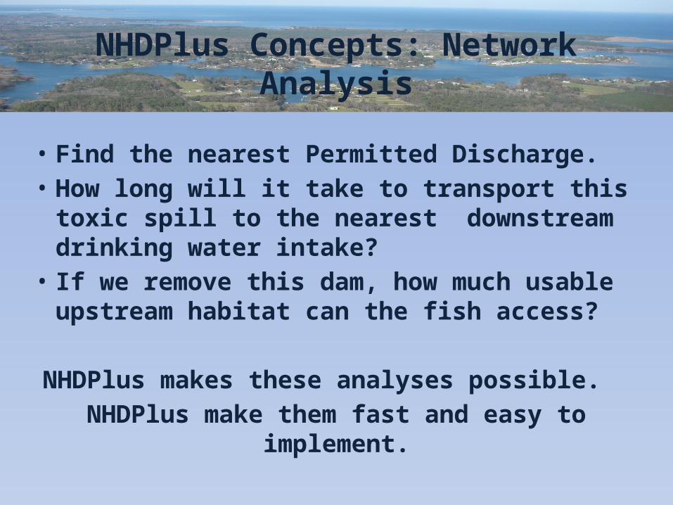
NHDPlus Concepts: Network Analysis
All Gages on the Susquehanna River
NHDPlus Concepts: Network Analysis
• Find the nearest Permitted Discharge.• How long will it take to transport this toxic spill
to the nearest downstream drinking water intake?
• If we remove this dam, how much usable upstream habitat can the fish access?
NHDPlus makes these analyses possible. NHDPlus make them fast and easy to implement.
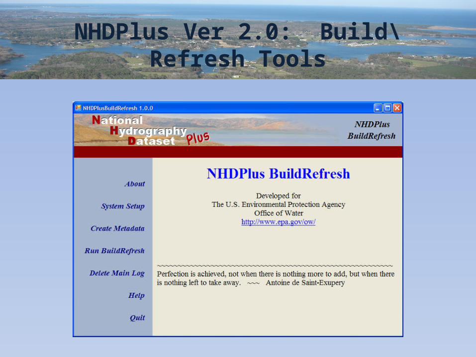
NHDPlus Ver 2.0: Build\Refresh Tools
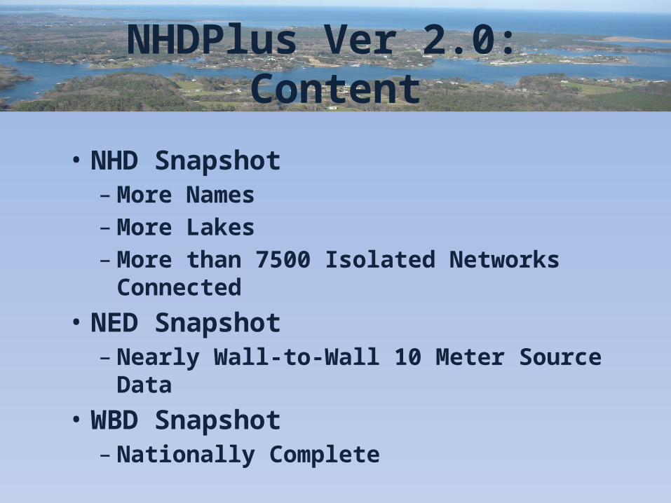
NHDPlus Ver 2.0: Content
• NHD Snapshot– More Names– More Lakes– More than 7500 Isolated Networks Connected
• NED Snapshot– Nearly Wall-to-Wall 10 Meter Source Data
• WBD Snapshot– Nationally Complete
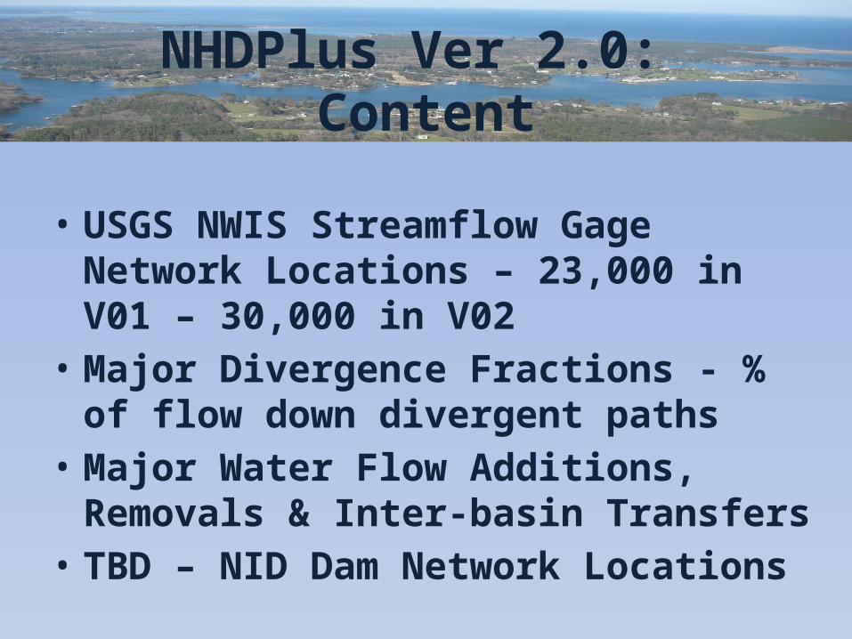
NHDPlus Ver 2.0: Content
• USGS NWIS Streamflow Gage Network Locations – 23,000 in V01 – 30,000 in V02
• Major Divergence Fractions - % of flow down divergent paths
• Major Water Flow Additions, Removals & Inter-basin Transfers
• TBD – NID Dam Network Locations
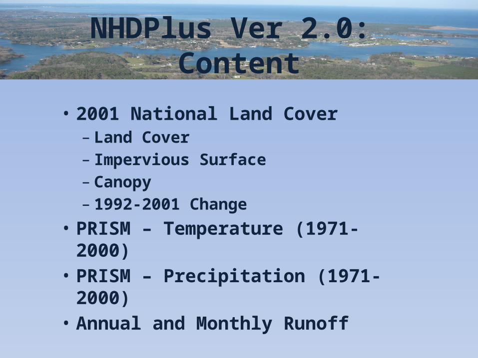
NHDPlus Ver 2.0: Content
• 2001 National Land Cover– Land Cover– Impervious Surface– Canopy – 1992-2001 Change
• PRISM – Temperature (1971-2000)• PRISM – Precipitation (1971-2000)• Annual and Monthly Runoff
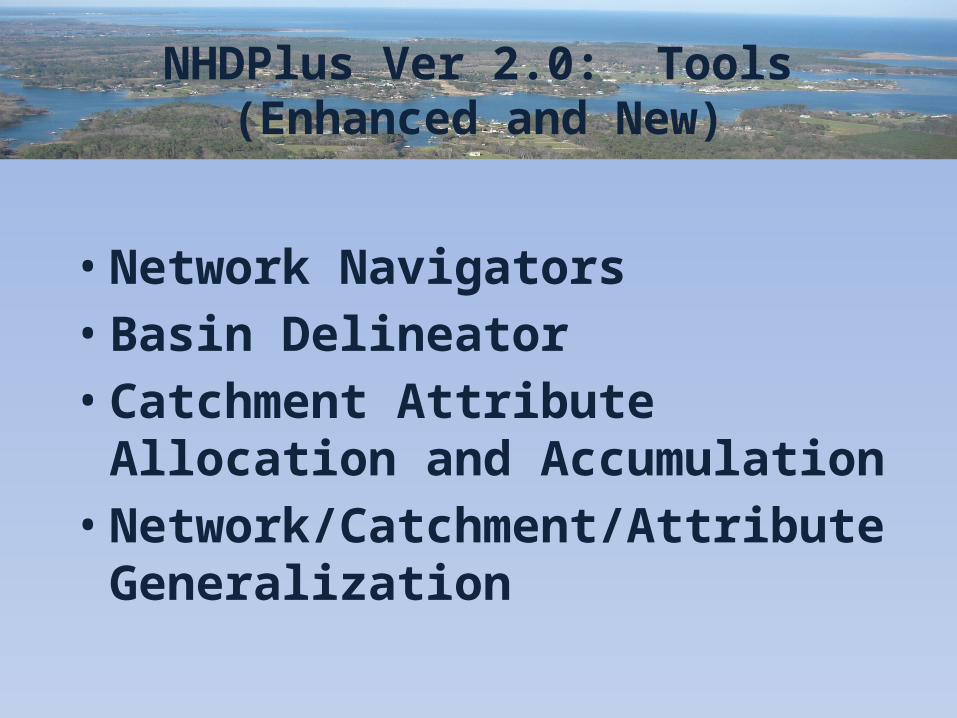
NHDPlus Ver 2.0: Tools(Enhanced and New)
• Network Navigators• Basin Delineator• Catchment Attribute Allocation and
Accumulation• Network/Catchment/Attribute
Generalization
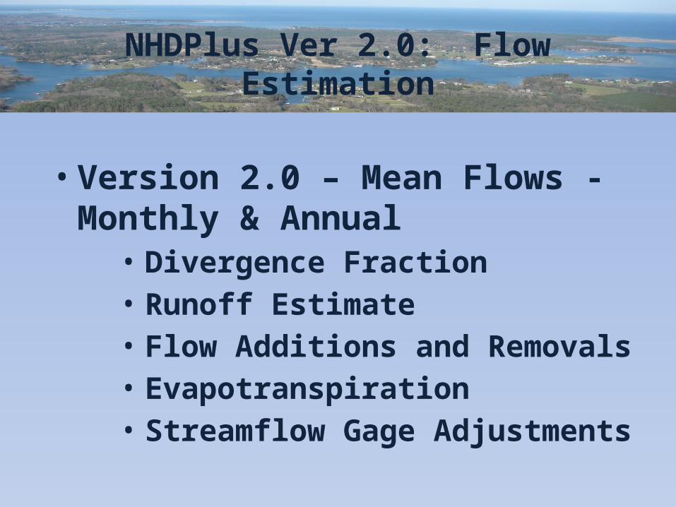
NHDPlus Ver 2.0: Flow Estimation
• Version 2.0 – Mean Flows - Monthly & Annual• Divergence Fraction• Runoff Estimate• Flow Additions and Removals• Evapotranspiration• Streamflow Gage Adjustments