Embed Size (px)
Citation preview
SWJ Soil MonitoringJim Snyder, SFNF Watershed Program Manager
Mike Natharius photo
SWJ Soil Monitoring
The National BMP Program was developed to improve agency performance and accountability in managing water quality consistent with the Federal Clean Water Act (CWA) and State water quality programs. Current Forest Service policy directs compliance with required CWA permits and State regulations and requires the use of BMPs to control nonpoint source pollution to meet applicable water quality standards and other CWA requirements.
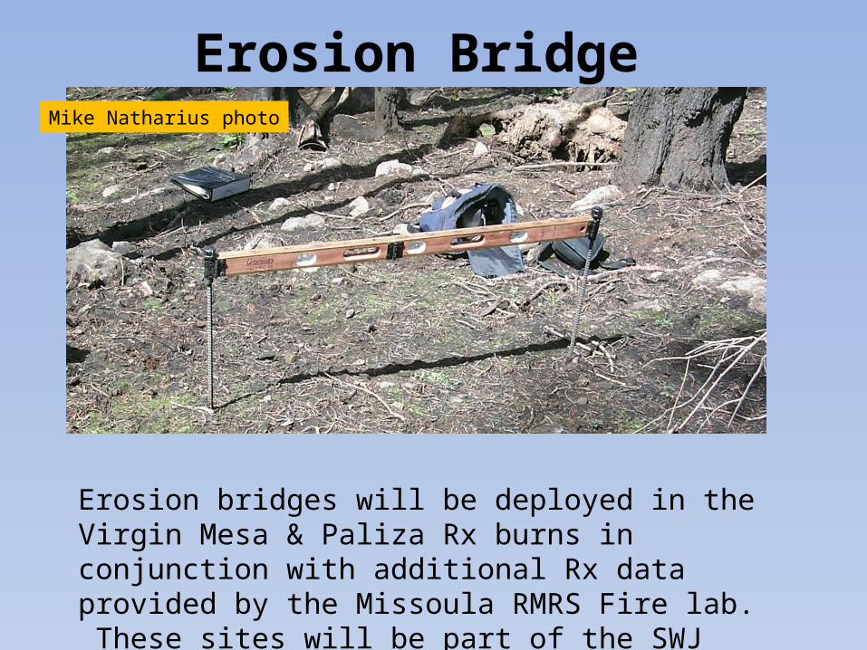
Erosion BridgeMike Natharius photo
Erosion bridges will be deployed in the Virgin Mesa & Paliza Rx burns in conjunction with additional Rx data provided by the Missoula RMRS Fire lab. These sites will be part of the SWJ soil monitoring plots.
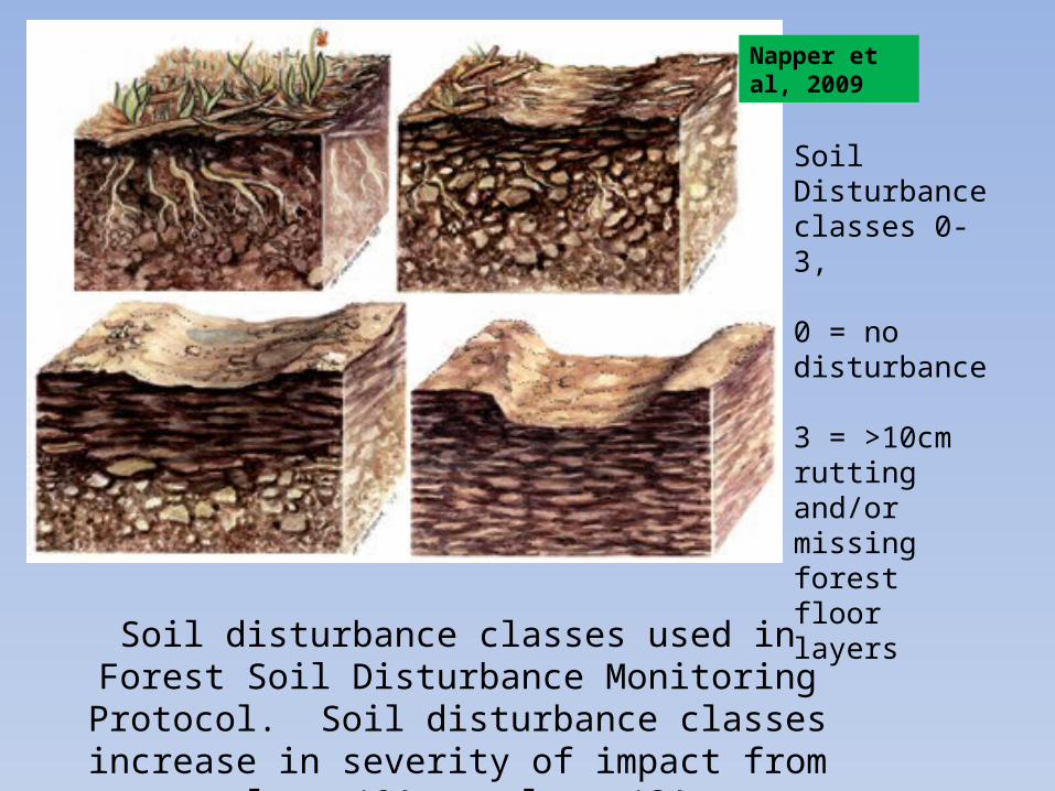
Napper et al, 2009
Soil Disturbance classes 0-3,
0 = no disturbance 3 = >10cm rutting and/or missing forest floor layers
Soil disturbance classes used in Forest Soil Disturbance Monitoring Protocol. Soil disturbance classes increase
in severity of impact from class ‘0’ to class ‘3’
CompactionCompaction can be field determined by using:• Metal rod (tile probe)• Shovel• Calibrated compaction tester
• The metal rod/shovel will require the soil techs to ‘calibrate’ themselves to the physical resistance of the tested soil type.
• The gaged compaction tester will have protocol assigning test depth(s) (3, 6, 9, 12, or 15 inches, 30cm)
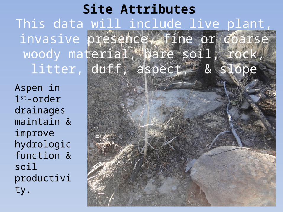
Site AttributesThis data will include live plant, invasive presence,
fine or coarse woody material, bare soil, rock, litter, duff, aspect, & slope
Aspen in 1st-order drainages maintain & improve hydrologic function & soil productivity.
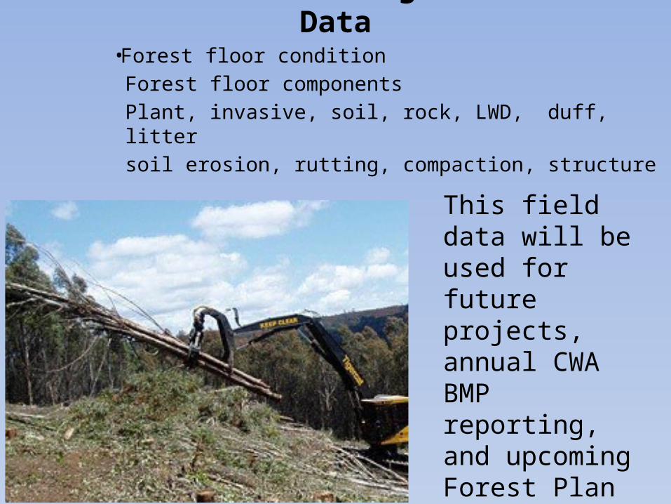
Soil Monitoring Field Data• Forest floor condition
Forest floor componentsPlant, invasive, soil, rock, LWD, duff, littersoil erosion, rutting, compaction, structure
This field data will be used for future projects, annual CWA BMP reporting, and upcoming Forest Plan Revision