Embed Size (px)
Citation preview

U.S. Department of the Interior U.S. Geological Survey
The Practice of Metadata
The how’s and why’s of metadata at USGS
Presenter
· Viv Hutchison · USGS Core Science Systems / Core Science Analytics
and Synthesis (CSAS) Program · Denver, CO · Data Management Program Coordinator for CSAS;
Science Data Management Team for CSAS · Background: MLS from University of Maryland – College
Park, 2002

Overview
· USGS science and organization · Challenges in data management in USGS · Importance of metadata · Broad steps to manage data in USGS · A focus on metadata in USGS
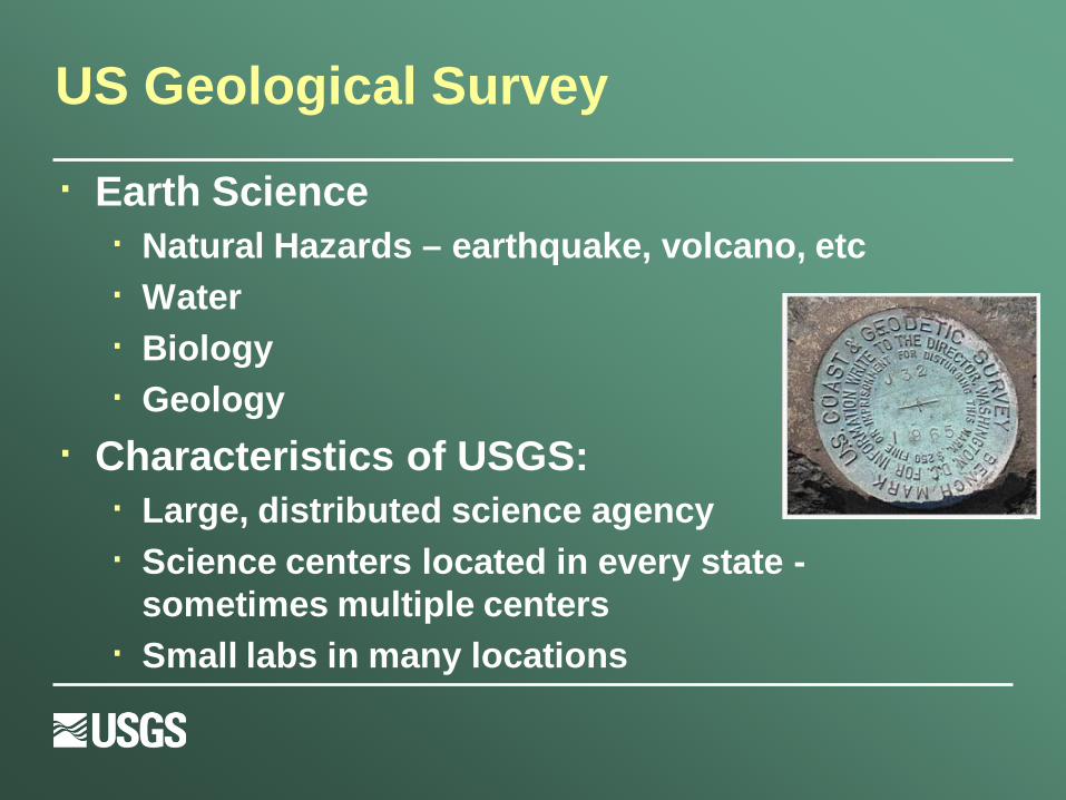
US Geological Survey
· Earth Science · Natural Hazards – earthquake, volcano, etc · Water · Biology · Geology
· Characteristics of USGS: · Large, distributed science agency · Science centers located in every state -
sometimes multiple centers · Small labs in many locations

Challenges in Data Management: USGS
· Scientists are focused on science and publishing. · Scientists are given credit for publishing, not “data
management”. · Some scientists view their publically funded research as
“their data”. · Multiple science disciplines throughout the agency – “data
silos” - No single repository for accessing data · Repetition of data documentation throughout agency –
project financial database, Pubs Warehouse, metadata creation, etc,
· Interesting misunderstandings about “publishing processes in journals” and “data publishing processes”.
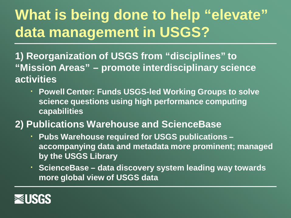
What is being done to help “elevate” data management in USGS? 1) Reorganization of USGS from “disciplines” to “Mission Areas” – promote interdisciplinary science activities
· Powell Center: Funds USGS-led Working Groups to solve science questions using high performance computing capabilities
2) Publications Warehouse and ScienceBase · Pubs Warehouse required for USGS publications –
accompanying data and metadata more prominent; managed by the USGS Library
· ScienceBase – data discovery system leading way towards more global view of USGS data
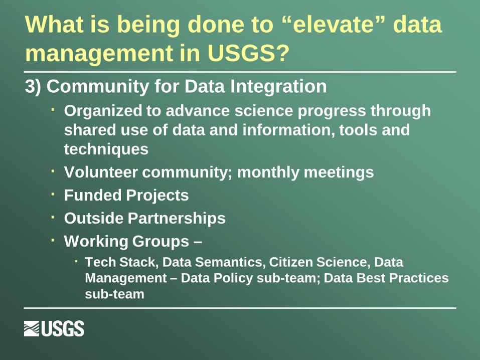
What is being done to “elevate” data management in USGS? 3) Community for Data Integration
· Organized to advance science progress through shared use of data and information, tools and techniques
· Volunteer community; monthly meetings · Funded Projects · Outside Partnerships · Working Groups –
· Tech Stack, Data Semantics, Citizen Science, Data Management – Data Policy sub-team; Data Best Practices sub-team
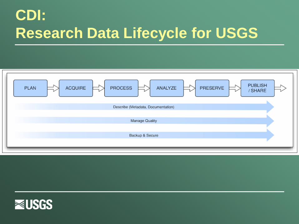
CDI: Research Data Lifecycle for USGS

Data Management Policies: a new chapter on metadata…
· USGS Manual: Fundamental Science Practices · 502.2 - Fundamental Science Practices: Planning
and Conducting Data Collection and Research
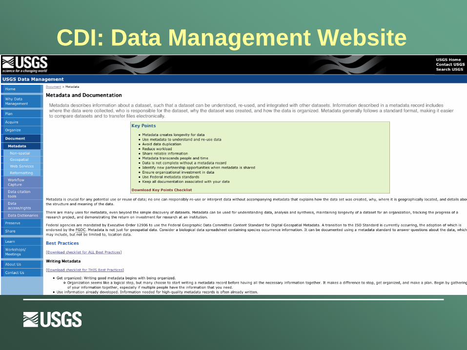
CDI: Data Management Website
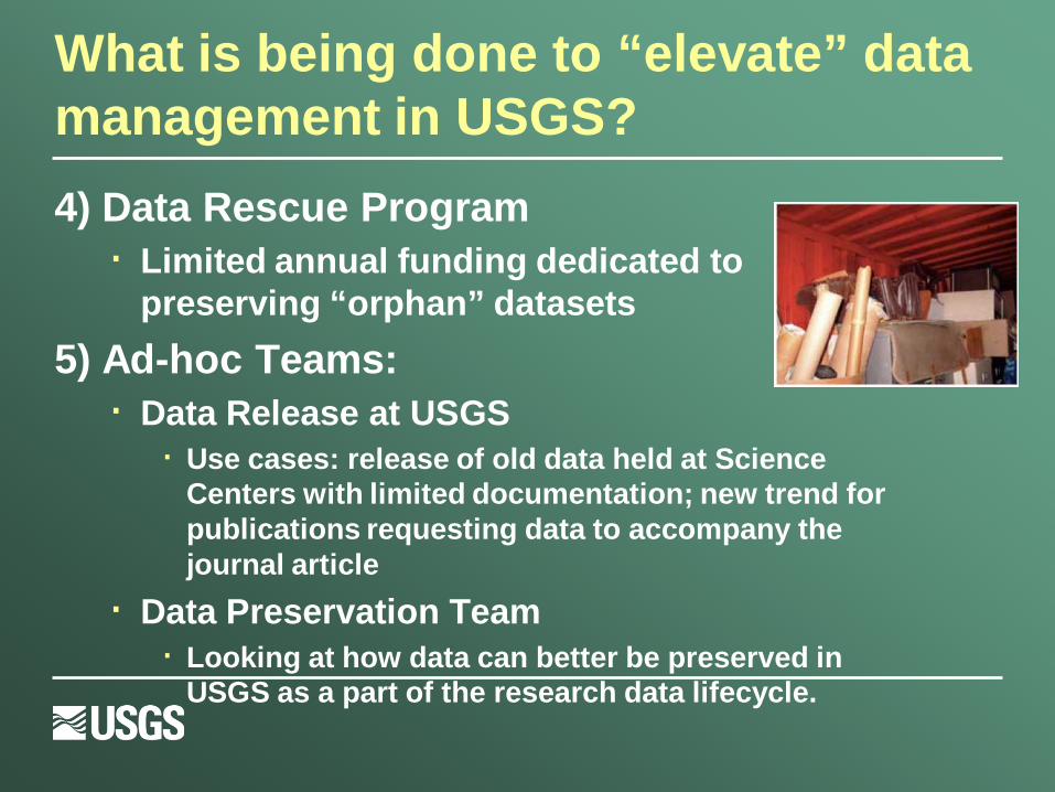
What is being done to “elevate” data management in USGS? 4) Data Rescue Program
· Limited annual funding dedicated to preserving “orphan” datasets
5) Ad-hoc Teams: · Data Release at USGS
· Use cases: release of old data held at Science Centers with limited documentation; new trend for publications requesting data to accompany the journal article
· Data Preservation Team · Looking at how data can better be preserved in
USGS as a part of the research data lifecycle.

Metadata

What is Metadata?
· “Structured information that describes, explains, locates, or otherwise makes it easier to retrieve, use, or manage any other resource” - National Information Standards
Organization
· Answers who, what, when, and why about a dataset. - ISO 19115 standard

Does any of this data have
configuration problems?
Which data products measure
the quantities I need?
This data is valuable, but will I find it again?
SC11: Big Data Means Your Metadata Must Work
How can I track the configuration of my experiment?
Can I trust these measurements? How were they taken?
Questions metadata can help solve.

What does a metadata record look like?
Importance of Metadata…

Era of Big Data
· Fourth Paradigm: scientific breakthroughs will increasingly be powered by advanced computing capabilities that help researchers manipulate and explore massive datasets.
· Metadata must be preserved when scientific data is generated – Jim Gray
· Further the time/space distance between data producer and re-use, the more detailed metadata that’s required.
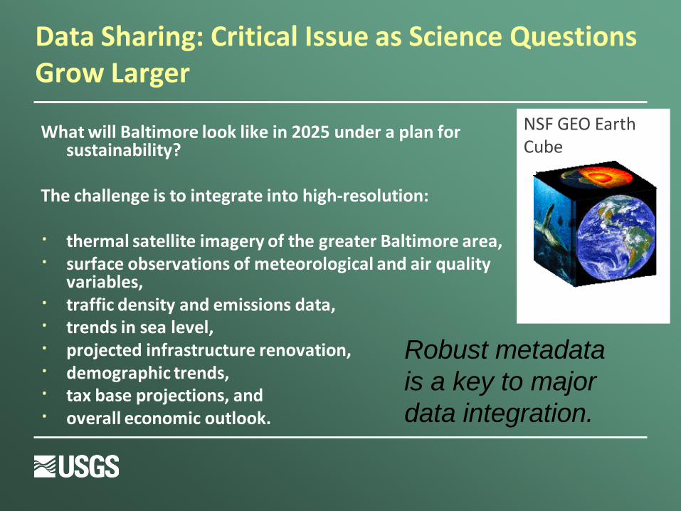
Data Sharing: Critical Issue as Science Questions Grow Larger
What will Baltimore look like in 2025 under a plan for sustainability?
The challenge is to integrate into high-resolution: · thermal satellite imagery of the greater Baltimore area, · surface observations of meteorological and air quality
variables, · traffic density and emissions data, · trends in sea level, · projected infrastructure renovation, · demographic trends, · tax base projections, and · overall economic outlook.
NSF GEO Earth Cube
Robust metadata is a key to major data integration.

Metadata: Why Care?
“Please forgive my paranoia about protocols, standards, and data review. I'm in the latter stages of a long career with USGS (30 years, and counting), and have experienced much. Experience is the knowledge you get just after you needed it. Several times, I've seen colleagues called to court in order to testify about conditions they have observed. Without a strong tradition of constant review and approval of basic data, they would've been in deep trouble under cross-examination. Instead, they were able to produce field notes, data approval records, and the like, to back up their testimony. It's one thing to be questioned by a college student who is working on a project for school. It's another entirely to be grilled by an attorney under oath with the media present.”
- Nelson Williams, USGS

Metadata: Why Care?
The climate scientists at the centre of a media storm over leaked emails were yesterday cleared of accusations that they fudged their results and silenced critics, but a review found they had failed to be open enough about their work.
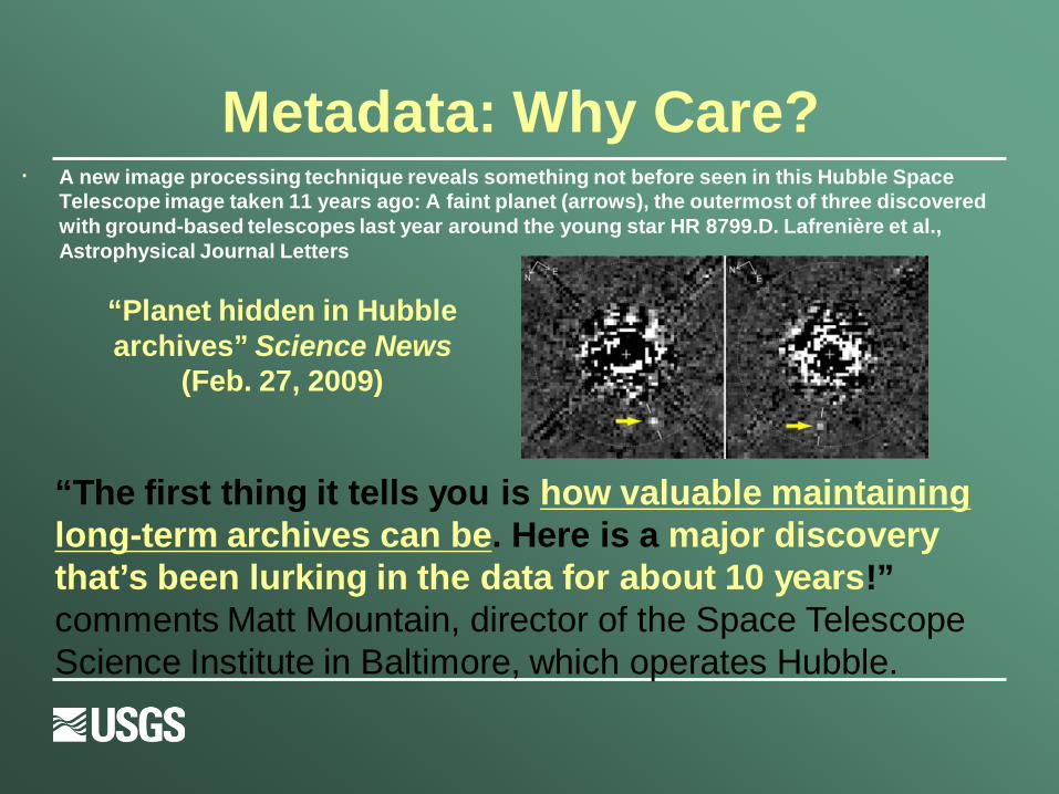
· A new image processing technique reveals something not before seen in this Hubble Space Telescope image taken 11 years ago: A faint planet (arrows), the outermost of three discovered with ground-based telescopes last year around the young star HR 8799.D. Lafrenière et al., Astrophysical Journal Letters
“The first thing it tells you is how valuable maintaining long-term archives can be. Here is a major discovery that’s been lurking in the data for about 10 years!” comments Matt Mountain, director of the Space Telescope Science Institute in Baltimore, which operates Hubble.
“Planet hidden in Hubble archives” Science News
(Feb. 27, 2009)
Metadata: Why Care?
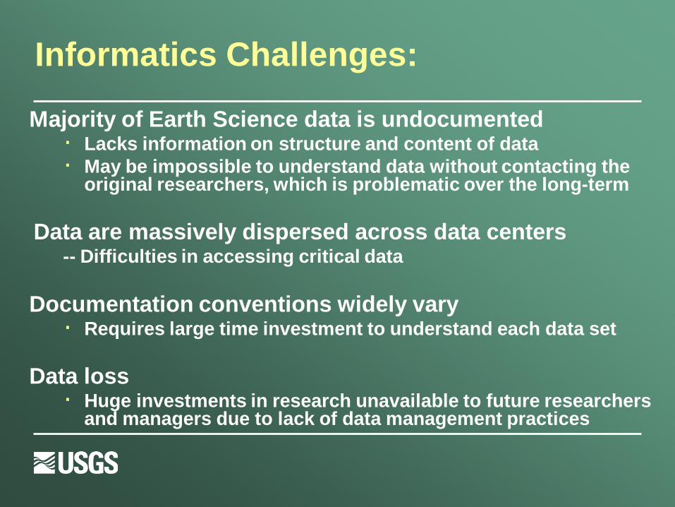
Informatics Challenges:
Majority of Earth Science data is undocumented · Lacks information on structure and content of data · May be impossible to understand data without contacting the
original researchers, which is problematic over the long-term
Data are massively dispersed across data centers -- Difficulties in accessing critical data
Documentation conventions widely vary · Requires large time investment to understand each data set
Data loss · Huge investments in research unavailable to future researchers
and managers due to lack of data management practices

Information Entropy D
ATA
DET
AILS
Time of data development
Specific details about problems with individual items or specific dates are lost relatively rapidly
General details about data set are lost through time
Accident or technology change may make data unusable
Retirement or career change makes access to “mental storage” difficult or unlikely
Death of developer results in loss of remaining info
TIME (From Michener et al 1997)
What is the value of metadata to organizations?
· Metadata helps ensure investment in data: · Documentation of data processing steps, quality
control, definitions, data uses, and restrictions · Ability to use data after initial intended purpose
· Transcends people and time: · Offers data permanence · Creates institutional memory
· Advertises research · Creates possible new partnerships and
collaborations thru data sharing

Metadata at USGS…
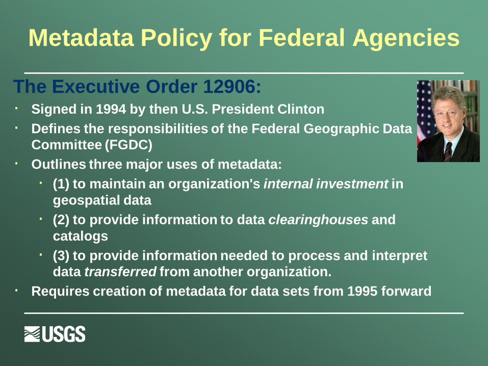
Metadata Policy for Federal Agencies The Executive Order 12906: · Signed in 1994 by then U.S. President Clinton · Defines the responsibilities of the Federal Geographic Data
Committee (FGDC) · Outlines three major uses of metadata:
· (1) to maintain an organization's internal investment in geospatial data
· (2) to provide information to data clearinghouses and catalogs
· (3) to provide information needed to process and interpret data transferred from another organization.
· Requires creation of metadata for data sets from 1995 forward
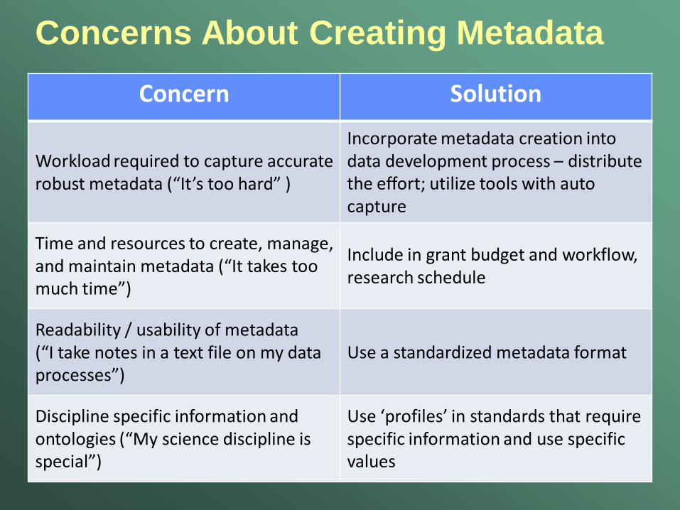
Concerns About Creating Metadata Concern Solution
Workload required to capture accurate robust metadata (“It’s too hard” )
Incorporate metadata creation into data development process – distribute the effort; utilize tools with auto capture
Time and resources to create, manage, and maintain metadata (“It takes too much time”)
Include in grant budget and workflow, research schedule
Readability / usability of metadata (“I take notes in a text file on my data processes”)
Use a standardized metadata format
Discipline specific information and ontologies (“My science discipline is special”)
Use ‘profiles’ in standards that require specific information and use specific values
Implementing Metadata: Varied Approaches
Individuals or Teams throughout USGS: · Team Leader / Project Manager · GIS Specialist · Field Personnel · Database Manager · Science Staff · Data Analysis Lead

Implementation of Metadata Policies: USGS CSAS Metadata Program Example
•Record creation assistance
•Metadata creation tools •Quality Control • Clearinghouse
•Training
These services are free for USGS and its partner organizations
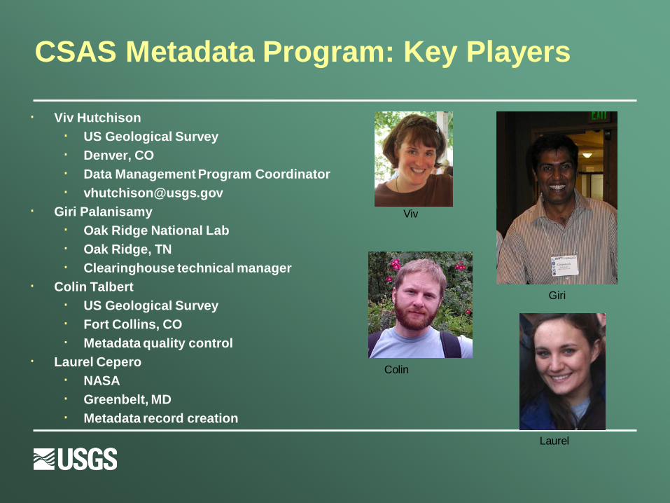
CSAS Metadata Program: Key Players
· Viv Hutchison · US Geological Survey · Denver, CO · Data Management Program Coordinator · [email protected]
· Giri Palanisamy · Oak Ridge National Lab · Oak Ridge, TN · Clearinghouse technical manager
· Colin Talbert · US Geological Survey · Fort Collins, CO · Metadata quality control
· Laurel Cepero · NASA · Greenbelt, MD · Metadata record creation
Laurel
Giri
Colin
Viv
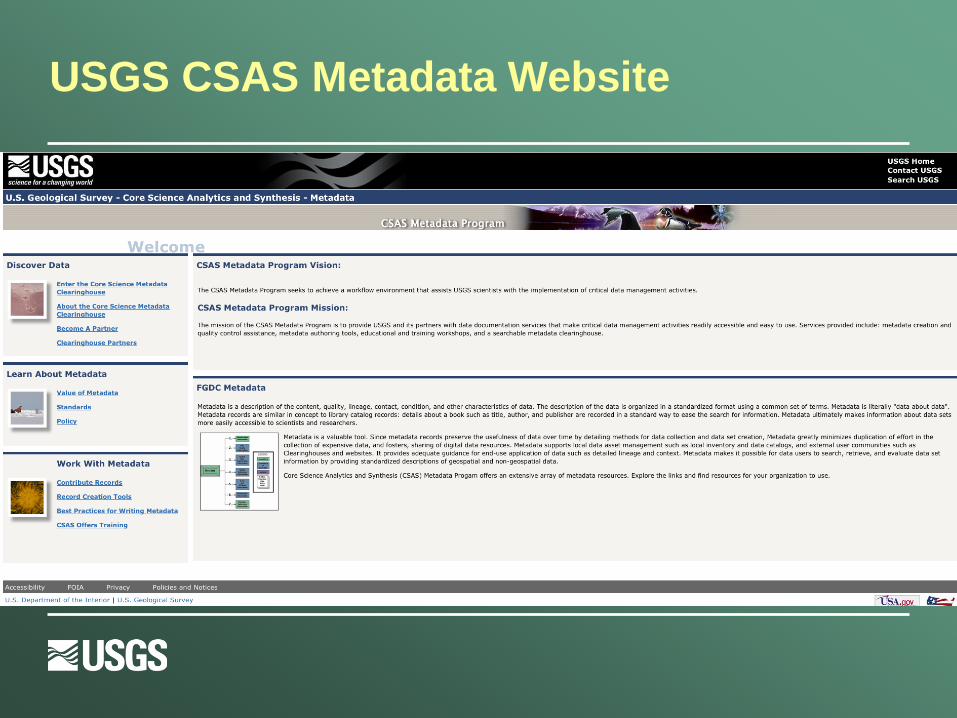
USGS CSAS Metadata Website

Tools · https://mercu
ry.ornl.gov/OME
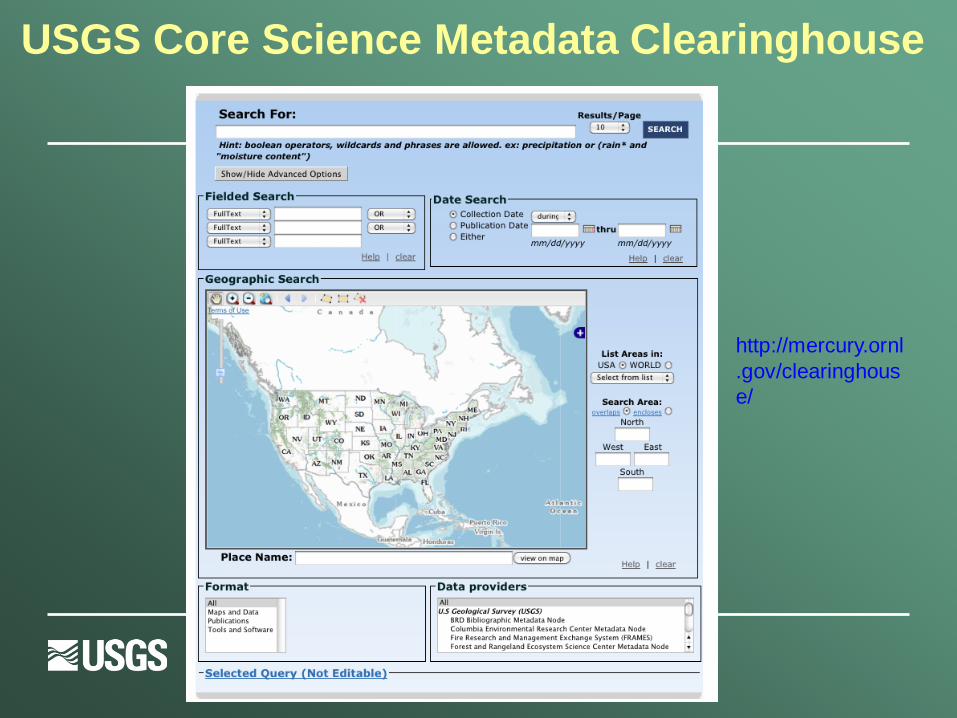
USGS Core Science Metadata Clearinghouse
http://mercury.ornl.gov/clearinghouse/

Results
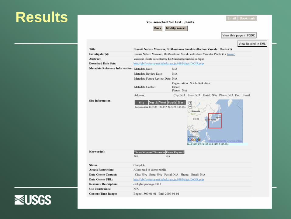
Results
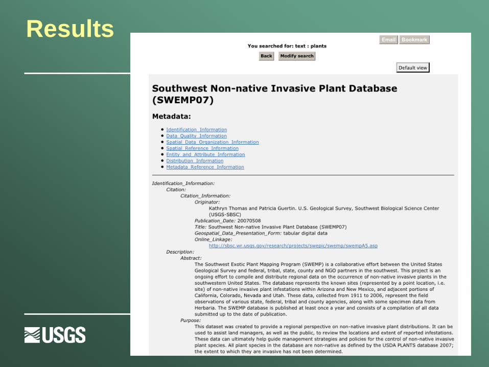
Results
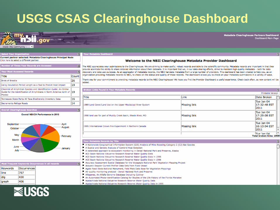
USGS CSAS Clearinghouse Dashboard
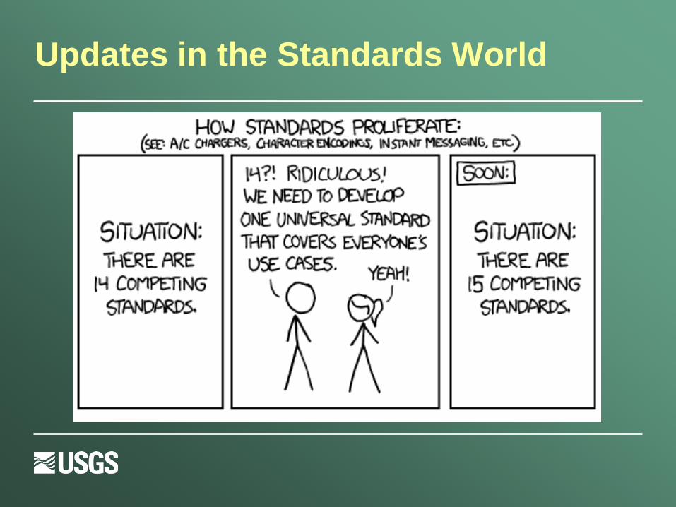
Updates in the Standards World

Updates in the Metadata Standards World
· Transitions: FGDC to ISO standard · The international community, through the
International Organization for Standardization (ISO) designed a standard for geospatial metadata.
ISO 19115 enables describing: Geospatial data sets Non-geospatial resources (example: tabular data) Services: portals, web mapping
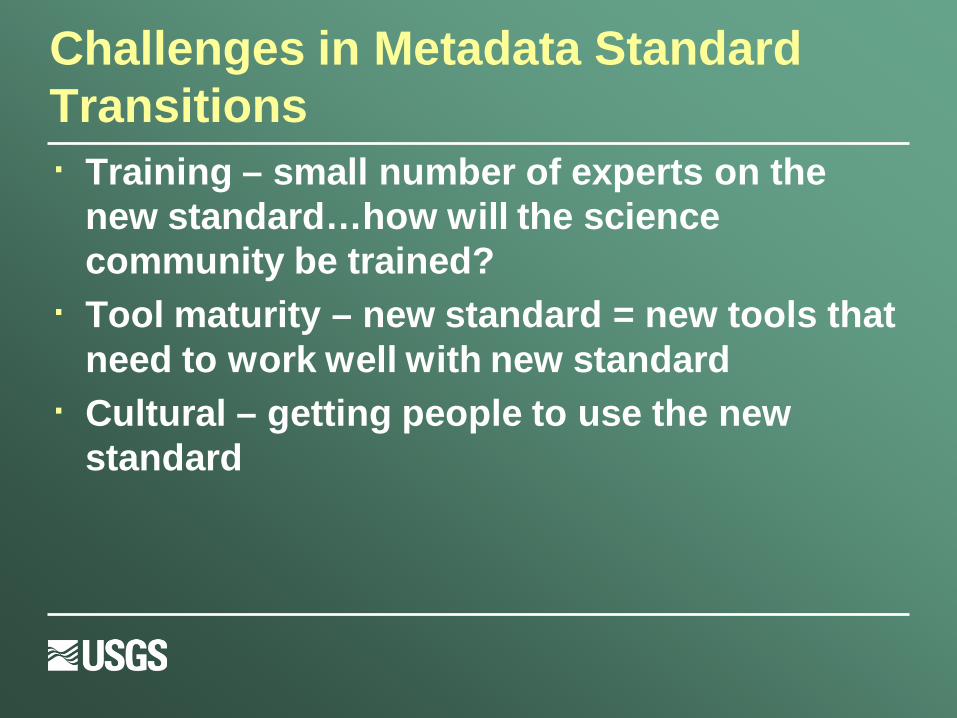
Challenges in Metadata Standard Transitions · Training – small number of experts on the
new standard…how will the science community be trained?
· Tool maturity – new standard = new tools that need to work well with new standard
· Cultural – getting people to use the new standard

Making Metadata Transitions in Large Organizations
· FGDC held a “Metadata Summit” in October, 2011 – 52 participants from 25 different organizations
· ISO Training and Breakout sessions · Made recommendations to FGDC in 3 areas:
· Policy and Guidance · Tools and Applications · Education and Communication

Next Steps
· Agency Working Groups for Metadata to coordinate implementation of the transition
· Train-the-Trainer workshops to re-build the ability to educate
· Contribution to community tools · Outreach

Some Parting Summary Thoughts
· Data without metadata has diminished value.
· Small projects grow large. Large projects need metadata to succeed. Don’t forget to plan for metadata when you start a project. It is an additional scaling consideration.
· There are lots of resources and approaches for metadata creation and implementation
· Transitions in the standards are major undertakings, and take time
Thank you for your time…Questions?
Contact: Viv Hutchison ([email protected]) USGS – Core Science Analytics and Synthesis (CSAS)