Embed Size (px)
Citation preview
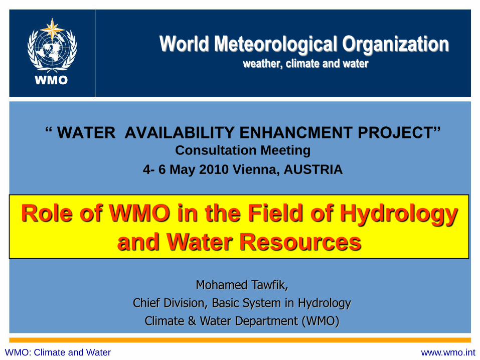
World Meteorological Organization weather, climate and water
“ WATER AVAILABILITY ENHANCMENT PROJECT”
Consultation Meeting
4- 6 May 2010 Vienna, AUSTRIA
WMO: Climate and Water www.wmo.int
WMO
Mohamed Tawfik,
Chief Division, Basic System in Hydrology
Climate & Water Department (WMO)
Role of WMO in the Field of Hydrology
and Water Resources
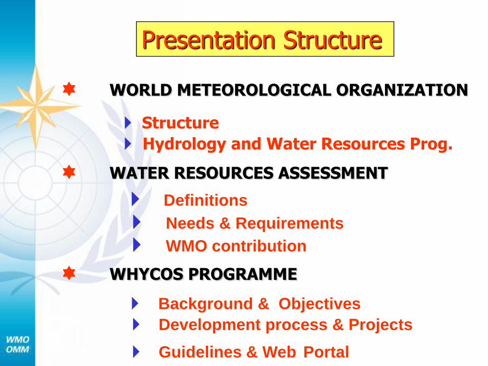
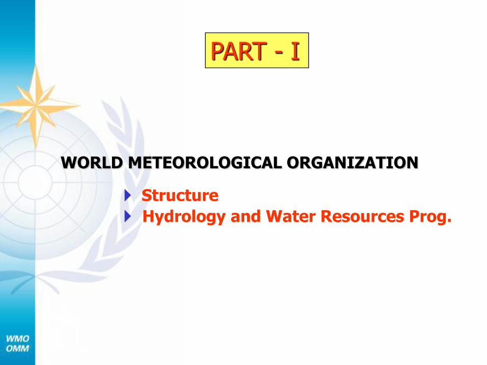
WORLD METEOROLOGICAL ORGANIZATION
Structure
Hydrology and Water Resources Prog.
WATER RESOURCES ASSESSMENT
Definitions
Needs & Requirements
WMO contribution
WHYCOS PROGRAMME
Background & Objectives
Development process & Projects
Guidelines & Web Portal
Presentation Structure
WORLD METEOROLOGICAL ORGANIZATION
Structure
Hydrology and Water Resources Prog.
PART - I
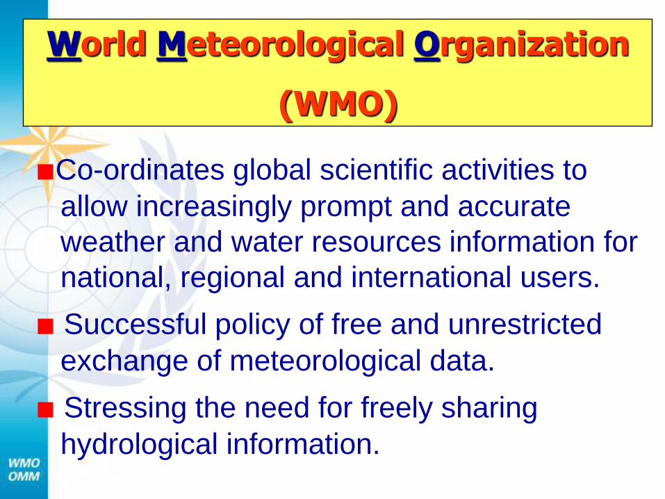
■Co-ordinates global scientific activities to
allow increasingly prompt and accurate
weather and water resources information for
national, regional and international users.
■ Successful policy of free and unrestricted
exchange of meteorological data.
■ Stressing the need for freely sharing
hydrological information.
World Meteorological Organization
(WMO)
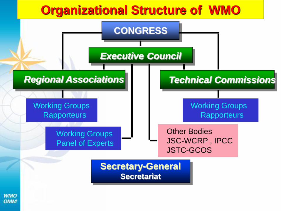
Organizational Structure of WMO
CONGRESS
Executive Council
Regional Associations Technical Commissions
Working Groups
Rapporteurs
Working Groups
Rapporteurs
Other Bodies
JSC-WCRP , IPCC
JSTC-GCOS
Working Groups
Panel of Experts
Secretary-General Secretariat
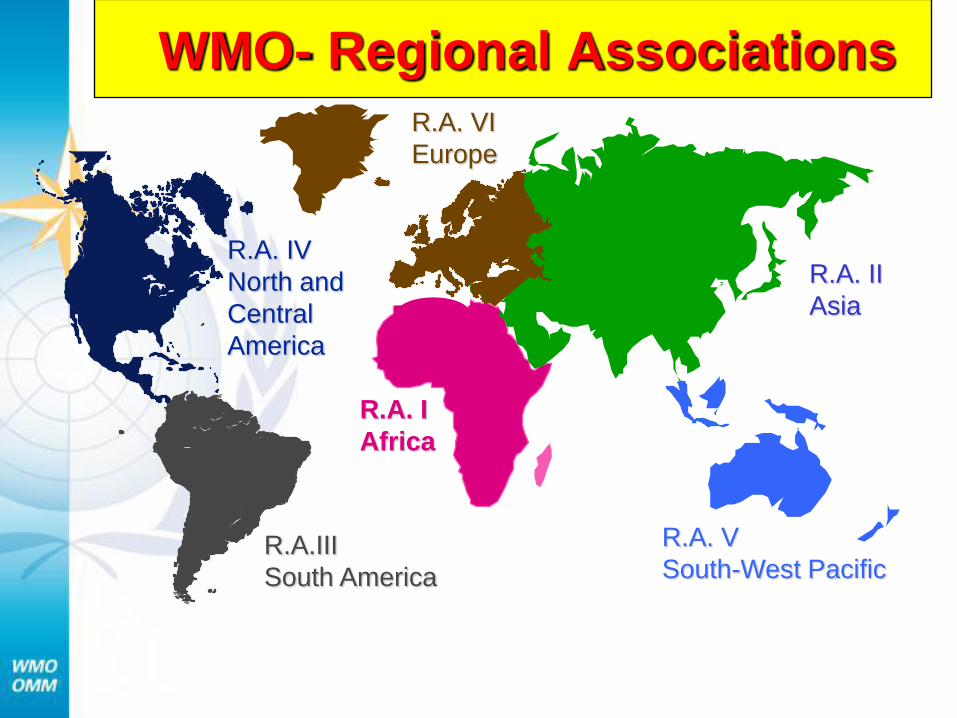
WMO- Regional Associations
R.A. I
Africa
R.A.III
South America
R.A. V
South-West Pacific
R.A. VI
Europe
R.A. IV
North and
Central
America
R.A. II
Asia
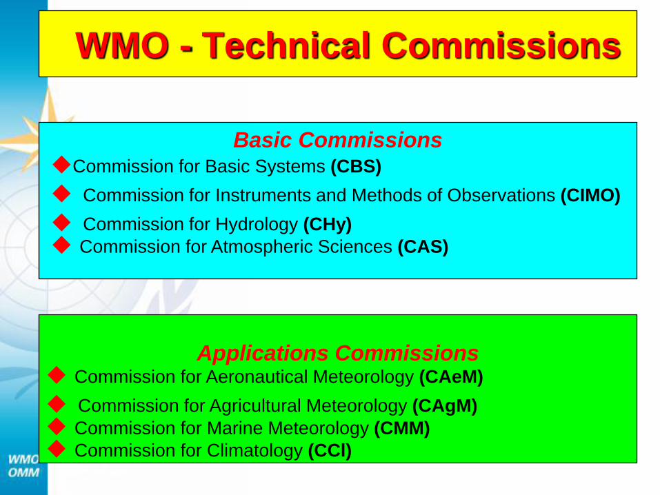
Basic Commissions ◆Commission for Basic Systems (CBS)
◆ Commission for Instruments and Methods of Observations (CIMO)
◆ Commission for Hydrology (CHy)
◆ Commission for Atmospheric Sciences (CAS)
WMO - Technical Commissions
Applications Commissions ◆ Commission for Aeronautical Meteorology (CAeM)
◆ Commission for Agricultural Meteorology (CAgM)
◆ Commission for Marine Meteorology (CMM)
◆ Commission for Climatology (CCl)
Role of WMO in the field of
Hydrology and Water Resources
Hydrology and
Water Resources Programme
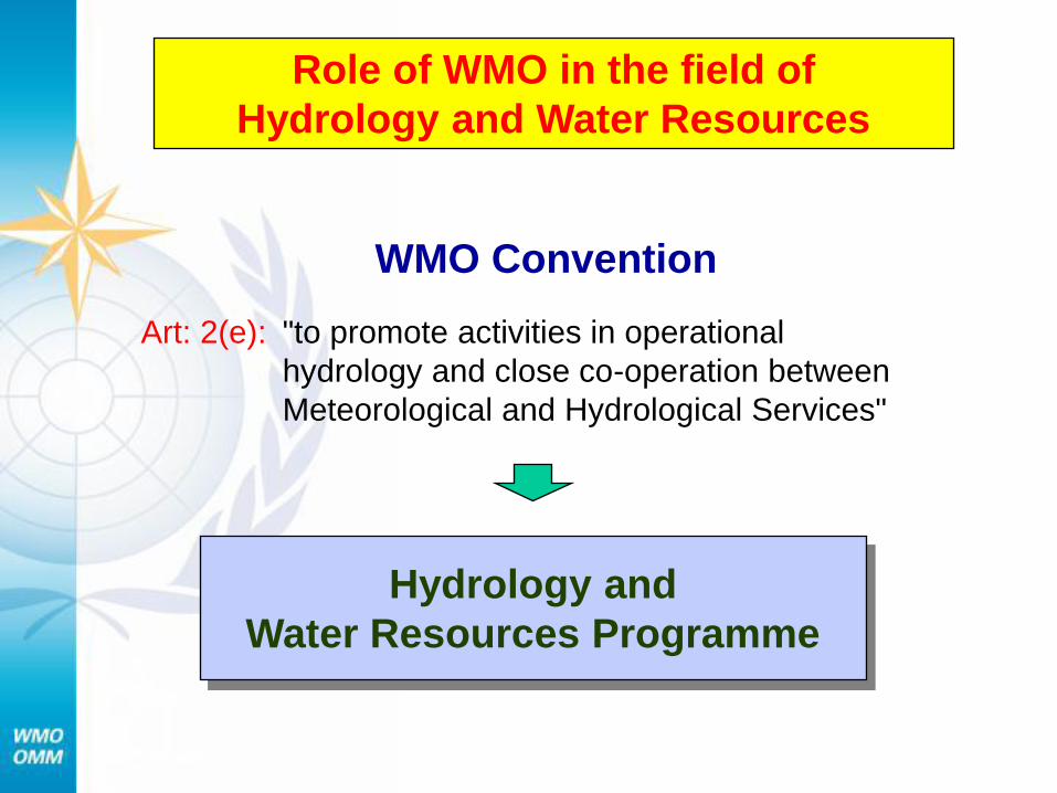
WMO Convention
"to promote activities in operational
hydrology and close co-operation between
Meteorological and Hydrological Services"
Art: 2(e):
Role of WMO in the field of
Hydrology and Water Resources
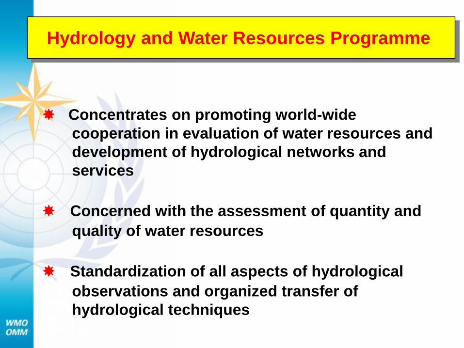
Concentrates on promoting world-wide
cooperation in evaluation of water resources and
development of hydrological networks and
services
Concerned with the assessment of quantity and
quality of water resources
Standardization of all aspects of hydrological
observations and organized transfer of
hydrological techniques
Hydrology and Water Resources Programme
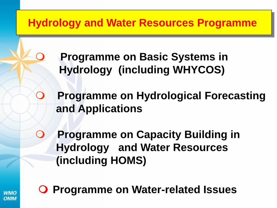
Programme on Basic Systems in
Hydrology (including WHYCOS)
Programme on Hydrological Forecasting
and Applications
Programme on Capacity Building in
Hydrology and Water Resources
(including HOMS)
Programme on Water-related Issues
Hydrology and Water Resources Programme
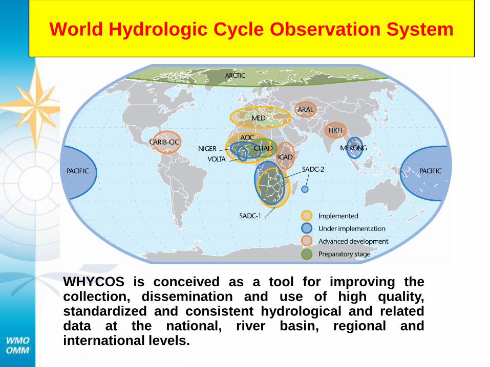
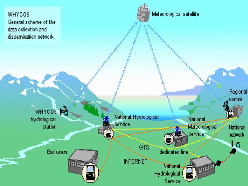
World Hydrologic Cycle Observation System
WHYCOS is conceived as a tool for improving the collection, dissemination and use of high quality, standardized and consistent hydrological and related data at the national, river basin, regional and international levels.
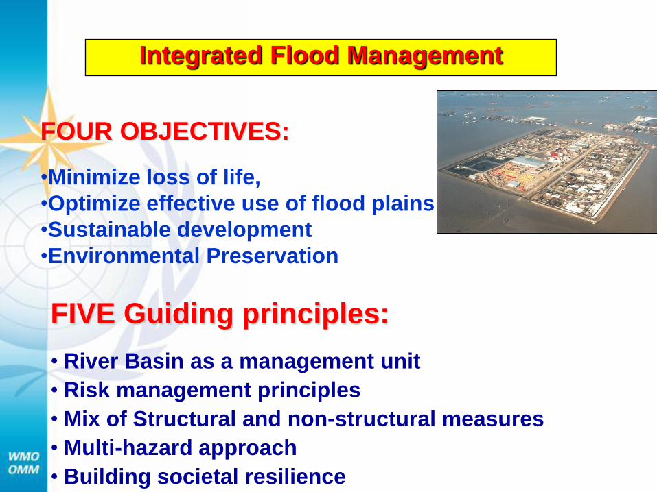
Integrated Flood Management
FIVE Guiding principles:
• River Basin as a management unit
• Risk management principles
• Mix of Structural and non-structural measures
• Multi-hazard approach
• Building societal resilience
FOUR OBJECTIVES:
•Minimize loss of life,
•Optimize effective use of flood plains
•Sustainable development
•Environmental Preservation
Quality Management Framework
• Hydrological Standards and Regulations
• Measurement Procedures
• Standardisation of new Technological
processes
• Equipment calibration
• Procedure for data processing
• Safety considerations
Guide to Hydrological Practices and
Technical Regulations
Guide to Hydrological Practices and
Technical Regulations
As a general principle, the Technical Regulations set out the standards of hydrological practices which NHSs should implement and the Guide to Hydrological Practices describes the methods needed to implement the recommended practices.
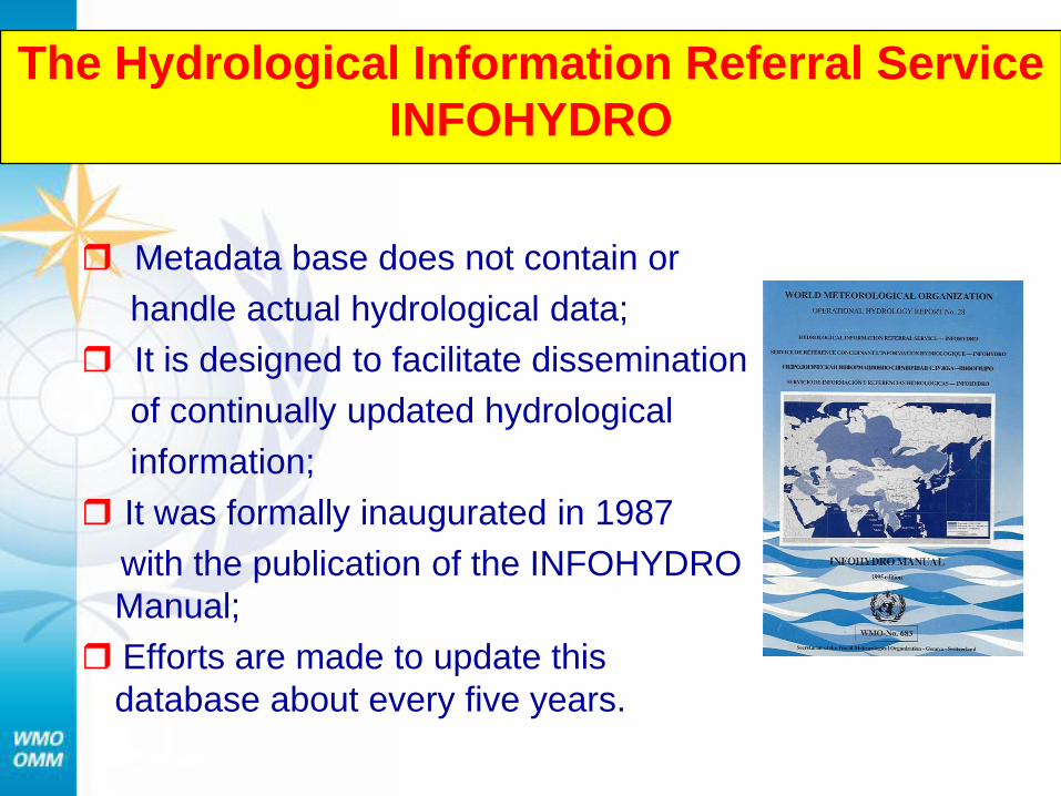
Metadata base does not contain or
handle actual hydrological data;
It is designed to facilitate dissemination
of continually updated hydrological
information;
It was formally inaugurated in 1987
with the publication of the INFOHYDRO
Manual;
Efforts are made to update this
database about every five years.
The Hydrological Information Referral Service
INFOHYDRO
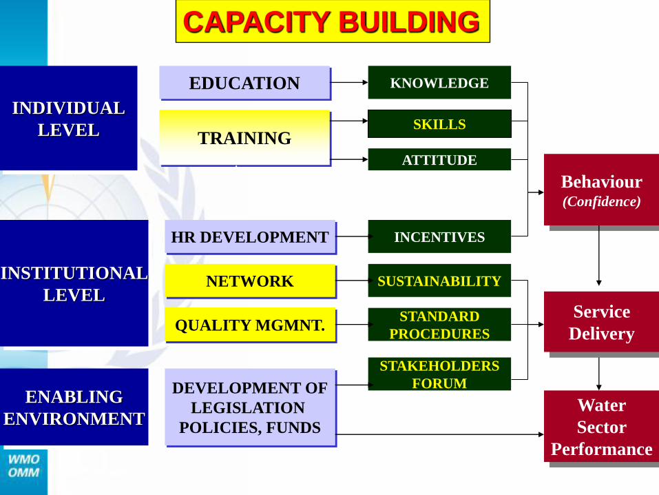
INDIVIDUAL
LEVEL
INSTITUTIONAL
LEVEL
ENABLING
ENVIRONMENT
EDUCATION
TRAINING
HR DEVELOPMENT
NETWORK
QUALITY MGMNT.
DEVELOPMENT OF
LEGISLATION
POLICIES, FUNDS
KNOWLEDGE
ATTITUDE
INCENTIVES
SUSTAINABILITY
SKILLS
Behaviour (Confidence)
Service
Delivery
Water
Sector
Performance
STANDARD
PROCEDURES
CAPACITY BUILDING
STAKEHOLDERS
FORUM
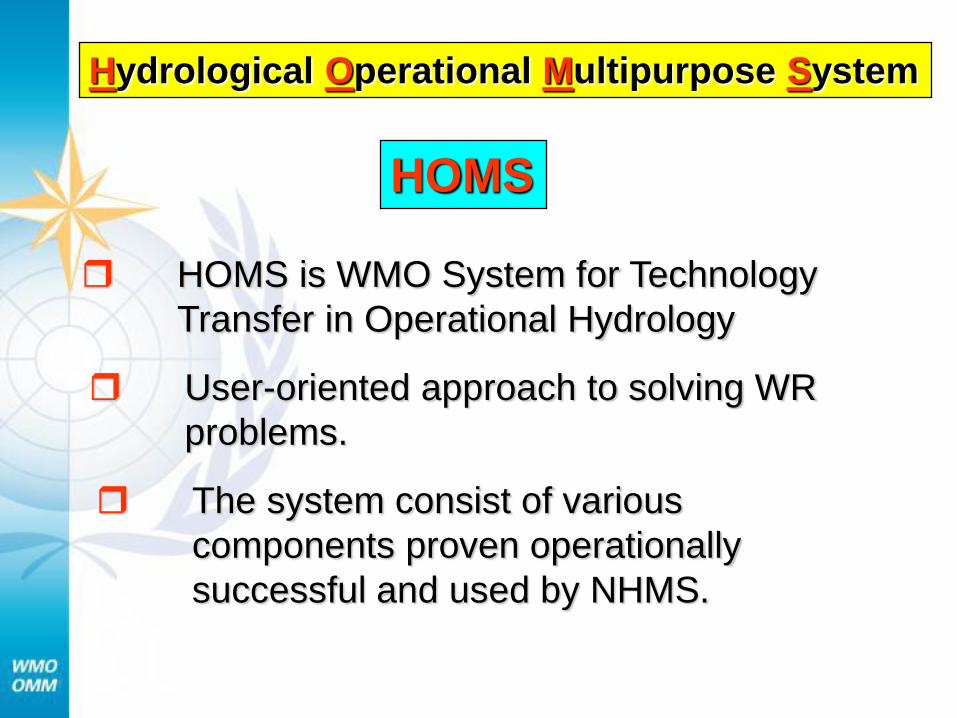
Hydrological Operational Multipurpose System
HOMS is WMO System for Technology
Transfer in Operational Hydrology
User-oriented approach to solving WR
problems.
The system consist of various
components proven operationally
successful and used by NHMS.
HOMS
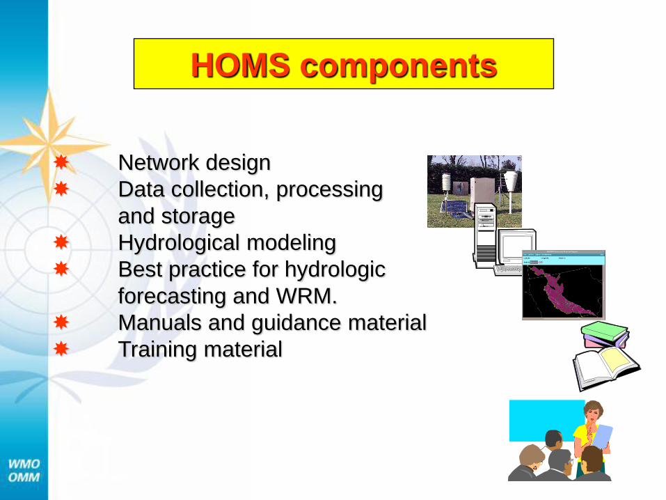
HOMS components
Network design
Data collection, processing
and storage
Hydrological modeling
Best practice for hydrologic
forecasting and WRM.
Manuals and guidance material
Training material
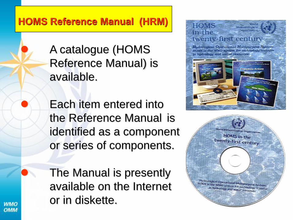
HOMS Reference Manual (HRM)
A catalogue (HOMS
Reference Manual) is
available.
Each item entered into
the Reference Manual is
identified as a component
or series of components.
The Manual is presently
available on the Internet
or in diskette.
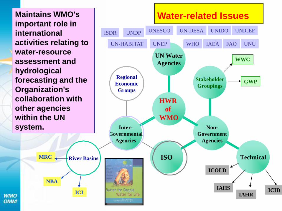
ISO Technical
Stakeholder
Groupings
NGOs Inter-
Governmental
Agencies
Non-
Government
Agencies
UN Water
Agencies
HWR
of
WMO
River Basins
Regional
Economic
Groups
UNESCO
UNEP WHO
UNICEF
UN-HABITAT IAEA
UN-DESA ISDR
WWC
GWP
IAHS ICID
ICOLD
IAHR
UNDP UNIDO
UNU FAO
NBA
MRC
ICI
Maintains WMO's
important role in
international
activities relating to
water-resource
assessment and
hydrological
forecasting and the
Organization's
collaboration with
other agencies
within the UN
system.
Water-related Issues
PART - II
WATER RESOURCES ASSESSMENT
Definitions
Needs & Requirements
WMO contribution
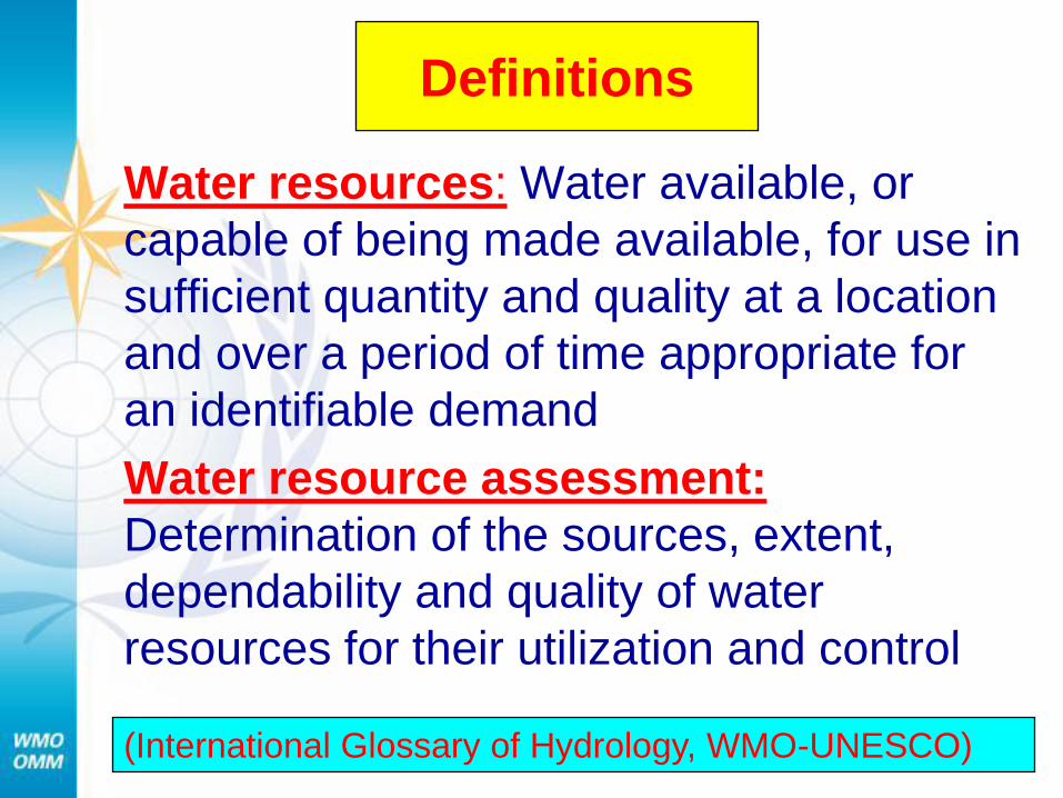
Definitions
Water resources: Water available, or
capable of being made available, for use in
sufficient quantity and quality at a location
and over a period of time appropriate for
an identifiable demand
Water resource assessment:
Determination of the sources, extent,
dependability and quality of water
resources for their utilization and control
(International Glossary of Hydrology, WMO-UNESCO)
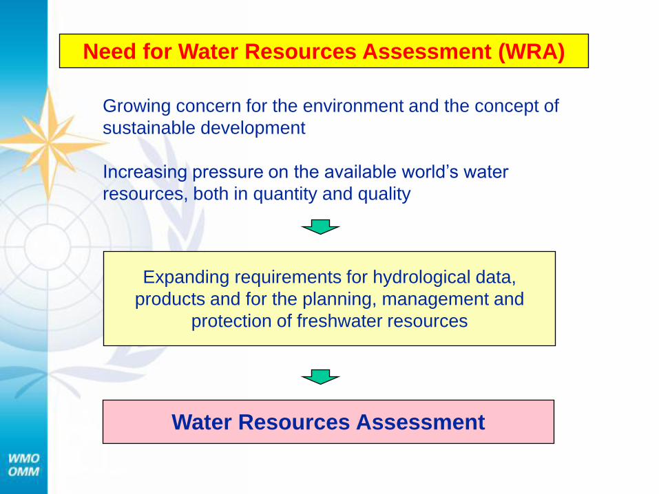
Need for Water Resources Assessment (WRA)
Growing concern for the environment and the concept of
sustainable development
Increasing pressure on the available world’s water
resources, both in quantity and quality
Expanding requirements for hydrological data,
products and for the planning, management and
protection of freshwater resources
Water Resources Assessment
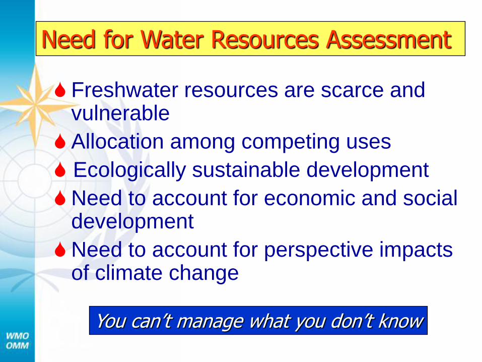
Freshwater resources are scarce and vulnerable
Allocation among competing uses
Ecologically sustainable development
Need to account for economic and social development
Need to account for perspective impacts of climate change
You can’t manage what you don’t know
Need for Water Resources Assessment
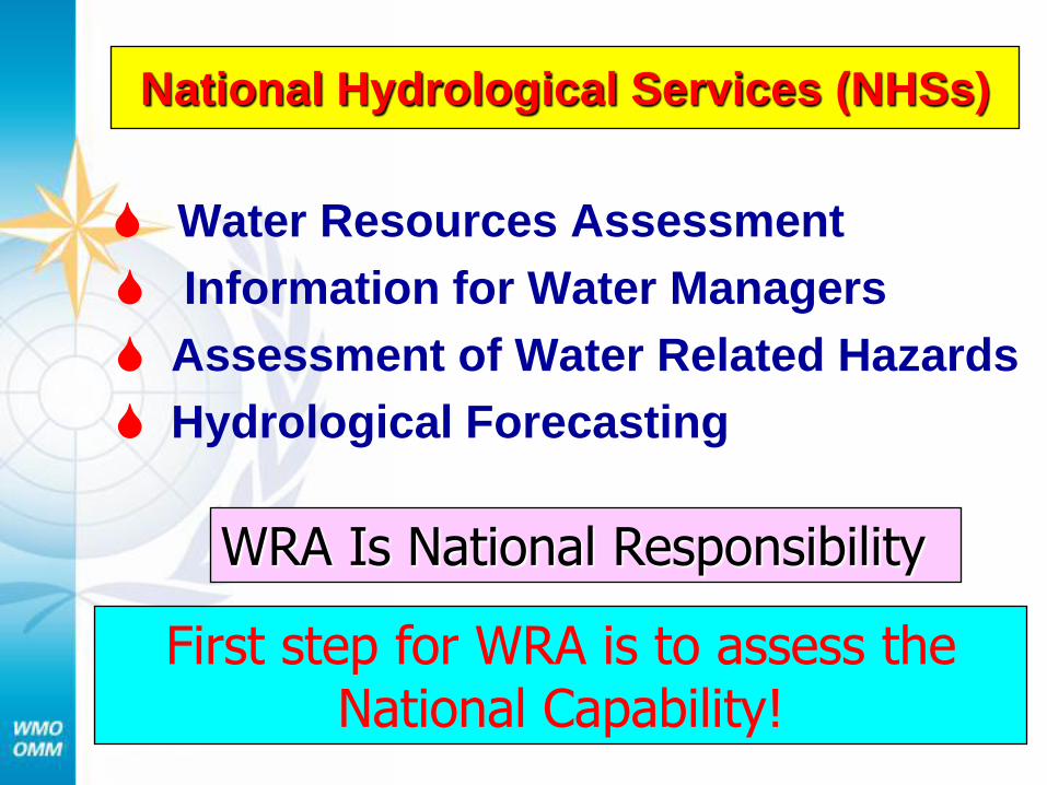
National Hydrological Services (NHSs)
Water Resources Assessment
Information for Water Managers
Assessment of Water Related Hazards
Hydrological Forecasting
First step for WRA is to assess the National Capability!
WRA Is National Responsibility
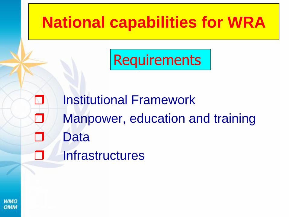
National capabilities for WRA
Institutional Framework
Manpower, education and training
Data
Infrastructures
Requirements
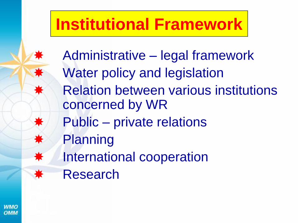
Institutional Framework
Administrative – legal framework
Water policy and legislation
Relation between various institutions concerned by WR
Public – private relations
Planning
International cooperation
Research
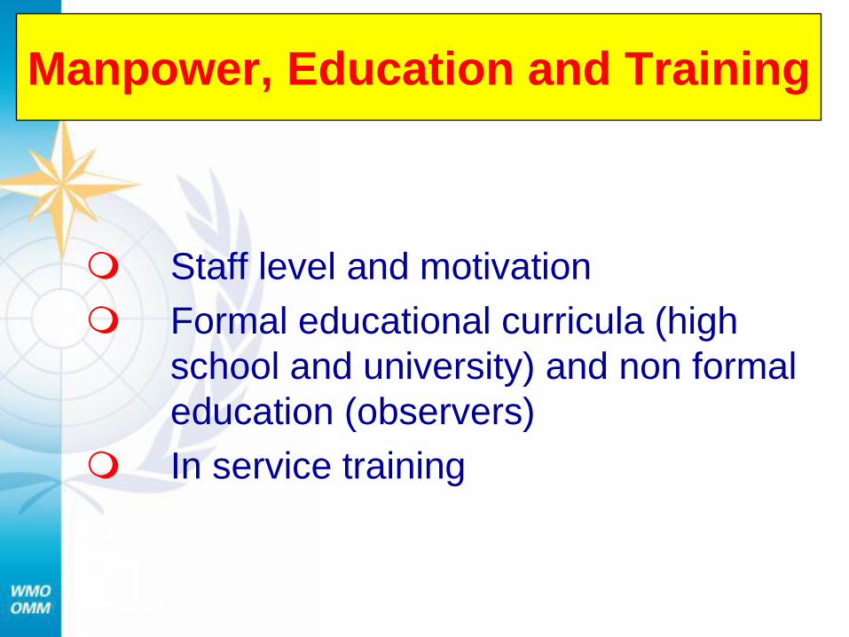
Manpower, Education and Training
Staff level and motivation
Formal educational curricula (high
school and university) and non formal
education (observers)
In service training
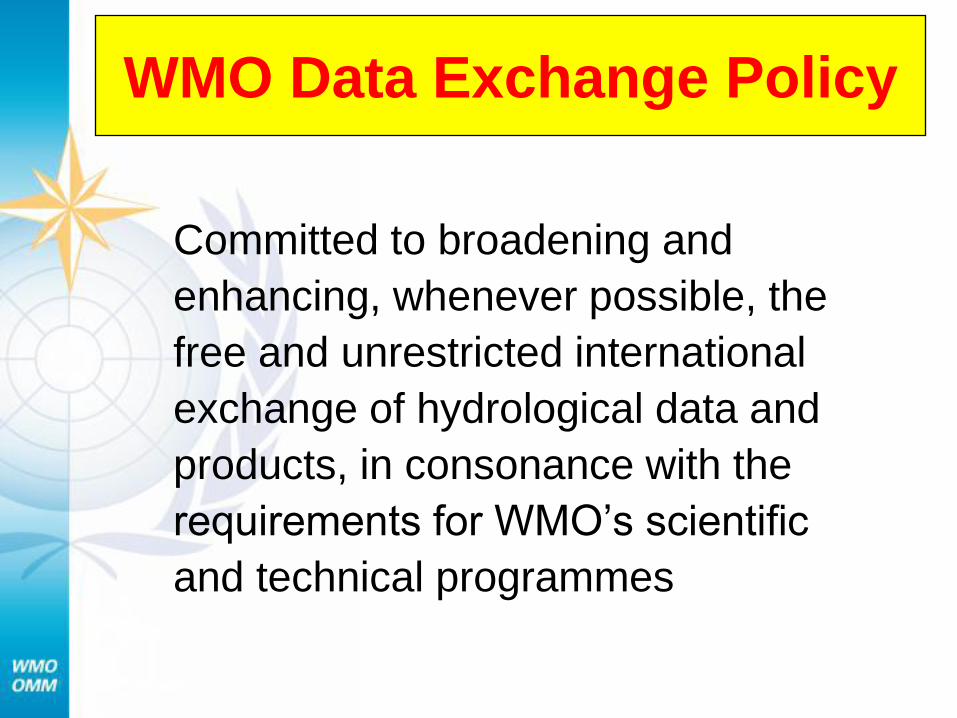
WMO Data Exchange Policy
Committed to broadening and
enhancing, whenever possible, the
free and unrestricted international
exchange of hydrological data and
products, in consonance with the
requirements for WMO’s scientific
and technical programmes
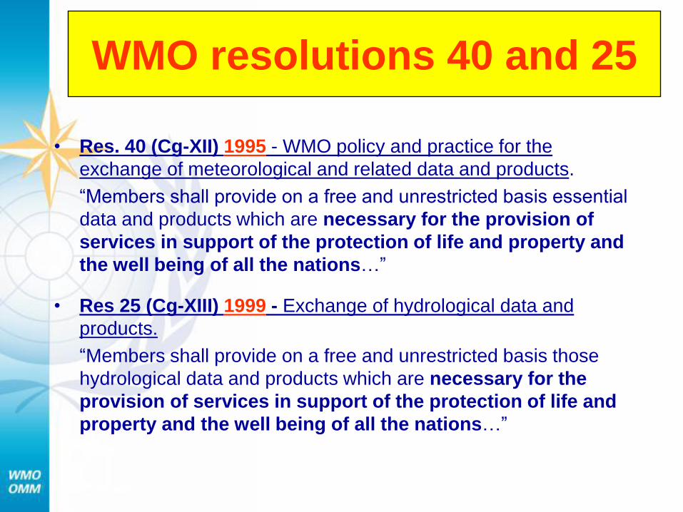
WMO resolutions 40 and 25
• Res. 40 (Cg-XII) 1995 - WMO policy and practice for the
exchange of meteorological and related data and products.
“Members shall provide on a free and unrestricted basis essential
data and products which are necessary for the provision of
services in support of the protection of life and property and
the well being of all the nations…”
• Res 25 (Cg-XIII) 1999 - Exchange of hydrological data and
products.
“Members shall provide on a free and unrestricted basis those
hydrological data and products which are necessary for the
provision of services in support of the protection of life and
property and the well being of all the nations…”
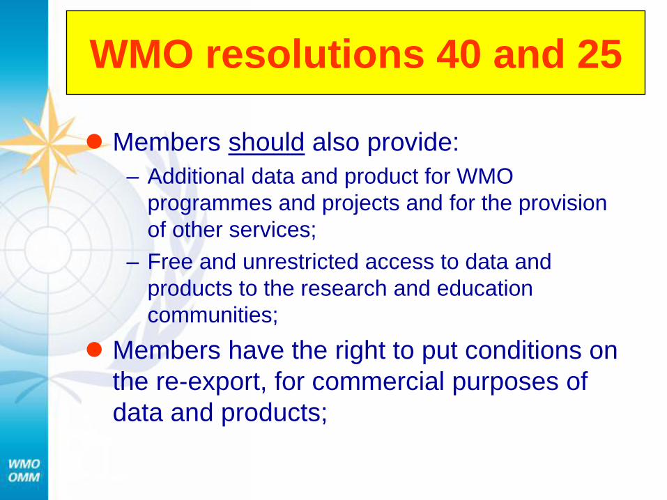
WMO resolutions 40 and 25
Members should also provide:
– Additional data and product for WMO
programmes and projects and for the provision
of other services;
– Free and unrestricted access to data and
products to the research and education
communities;
Members have the right to put conditions on
the re-export, for commercial purposes of
data and products;
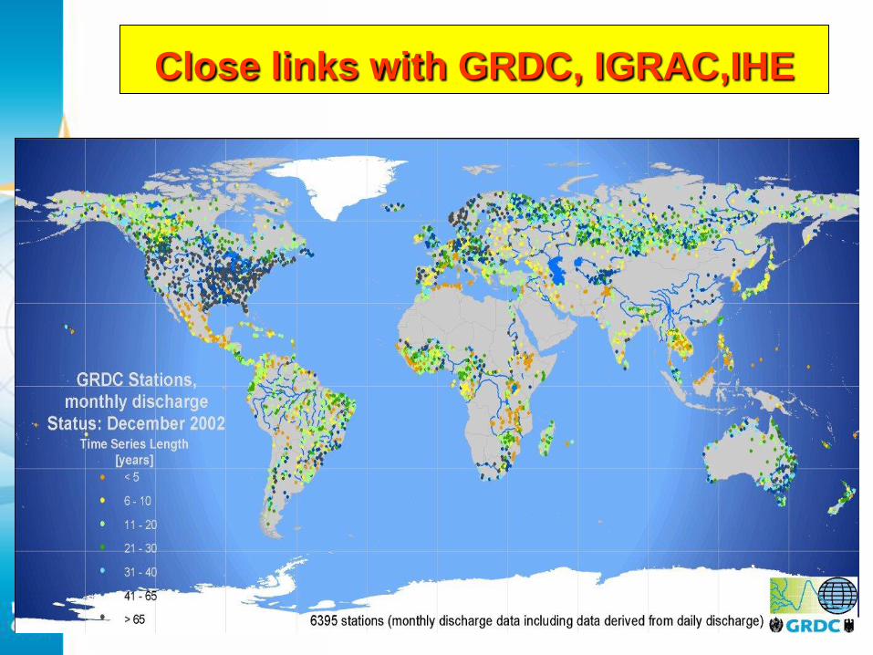
Close links with GRDC, IGRAC,IHE
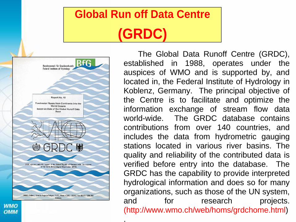
Global Run off Data Centre
(GRDC)
The Global Data Runoff Centre (GRDC), established in 1988, operates under the auspices of WMO and is supported by, and located in, the Federal Institute of Hydrology in Koblenz, Germany. The principal objective of the Centre is to facilitate and optimize the information exchange of stream flow data world-wide. The GRDC database contains contributions from over 140 countries, and includes the data from hydrometric gauging stations located in various river basins. The quality and reliability of the contributed data is verified before entry into the database. The GRDC has the capability to provide interpreted hydrological information and does so for many organizations, such as those of the UN system, and for research projects. (http://www.wmo.ch/web/homs/grdchome.html).
COOPERATION WITH OTHER WMO BODIES AND
INTERNATIONAL ORGANIZATIONS
IN PROJECTS RELATED TO HYDROLOGY
WMO/ UN agencies / IGOs and NGOs
WMO maintains close co-operation with a number of agencies within the
UN system, international river basin commissions, other IGOs NGOs.
WMO cooperate with the World Water Council
WMO’s links with the Global Water Partnership has resulted to the
establishment of Associated Programme on Flood Management
“WMO/GWP Associated Programme on Flood Management-APFM”.
At the regional level WMO is co-operating with SADC, IGAD, ACMAD,
NBA, NBI, LCBC and UNECA. WMO has established Memoranda of
Understanding with some of them, which set out the areas of co-operation.
WMO has continued its co-operation with other international
organizations including UNESCO, UNEP, IAEA, FAO,…..
The working agreement between WMO and UNESCO
“an efficient mechanism for co-ordination”
WMO/UNESCO “International Glossary of Hydrology”.
WMO/UNESCO“Water Resources Assessment-
Handbook for Evaluation of National Capabilities
With the government of the Netherlands supported the
establishment of the International Groundwater Resources
Assessment Centre (IGRAC)
WMO/UNEP support IPCC
WMO/IAEA “ International workshop on Groundwater”
COOPERATION WITH OTHER WMO BODIES AND
INTERNATIONAL ORGANIZATIONS
IN PROJECTS RELATED TO HYDROLOGY
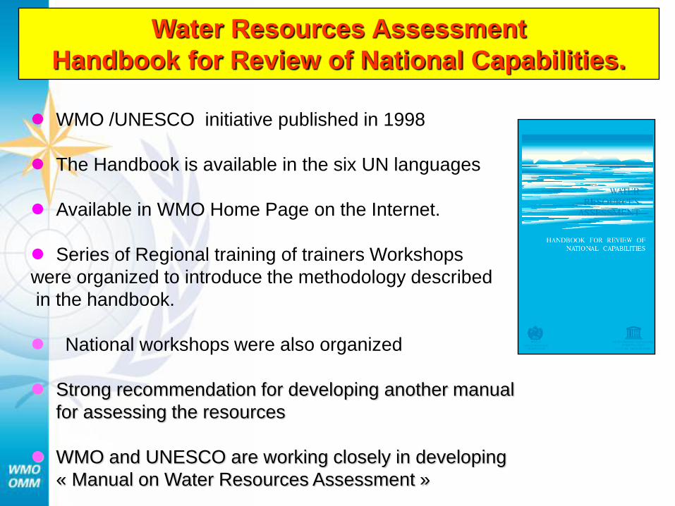
Water Resources Assessment
Handbook for Review of National Capabilities.
WMO /UNESCO initiative published in 1998
The Handbook is available in the six UN languages
Available in WMO Home Page on the Internet.
Series of Regional training of trainers Workshops
were organized to introduce the methodology described
in the handbook.
National workshops were also organized
Strong recommendation for developing another manual
for assessing the resources
WMO and UNESCO are working closely in developing
« Manual on Water Resources Assessment »
PART - III
WHYCOS PROGRAMME
Background & Objectives
Development process & Projects
Guidelines & Web Portal
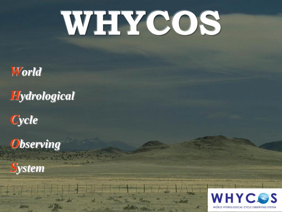
WHYCOS
World
Hydrological
Cycle
Observing
System
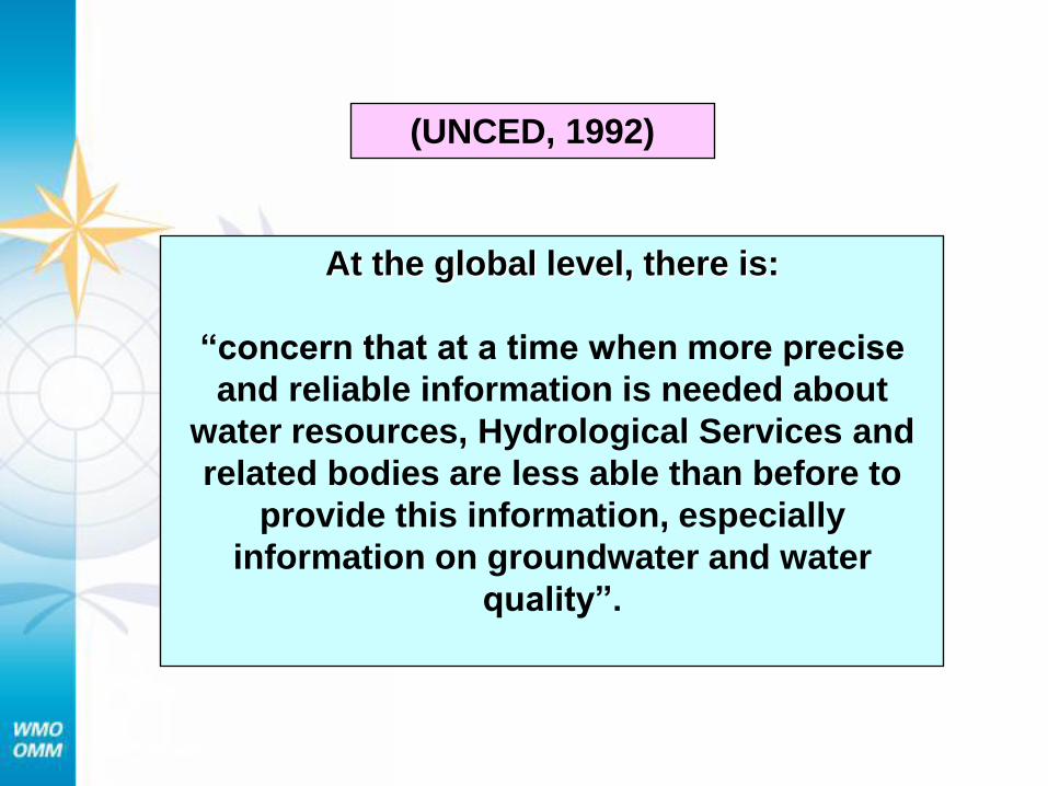
At the global level, there is:
“concern that at a time when more precise
and reliable information is needed about
water resources, Hydrological Services and
related bodies are less able than before to
provide this information, especially
information on groundwater and water
quality”.
(UNCED, 1992)
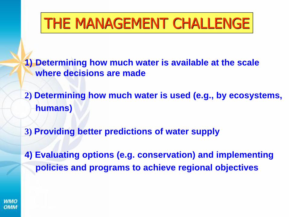
1) Determining how much water is available at the scale
where decisions are made
2) Determining how much water is used (e.g., by ecosystems,
humans)
3) Providing better predictions of water supply
4) Evaluating options (e.g. conservation) and implementing
policies and programs to achieve regional objectives
THE MANAGEMENT CHALLENGE
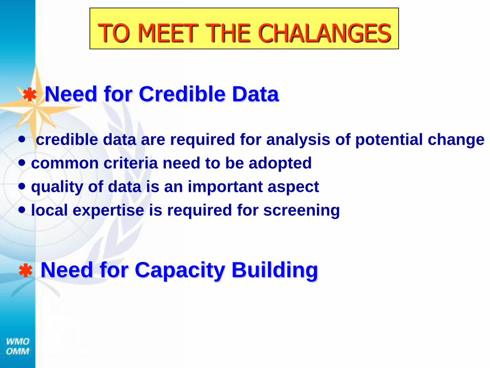
TO MEET THE CHALANGES
credible data are required for analysis of potential change
common criteria need to be adopted
quality of data is an important aspect
local expertise is required for screening
Need for Credible Data
Need for Capacity Building
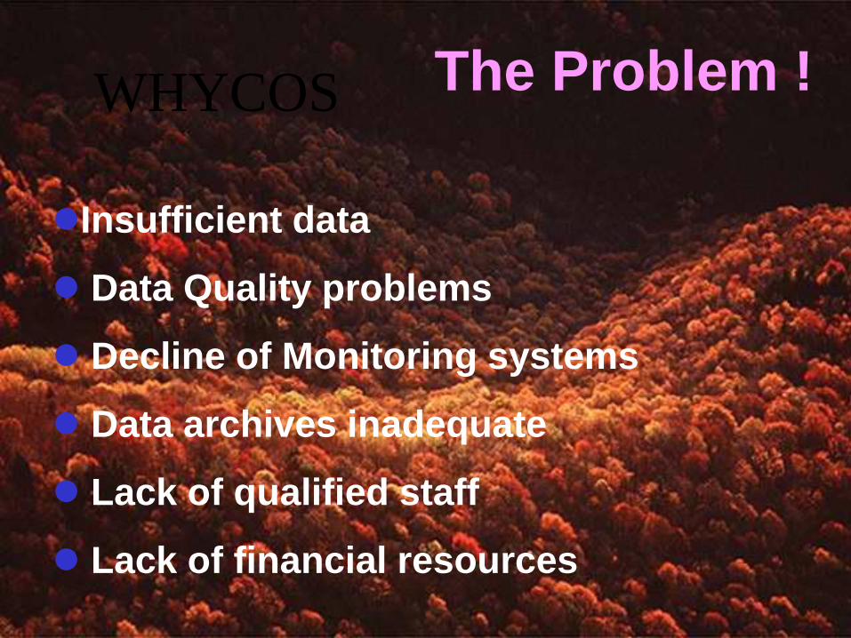
Insufficient data
Data Quality problems
Decline of Monitoring systems
Data archives inadequate
Lack of qualified staff
Lack of financial resources
WHYCOS The Problem !
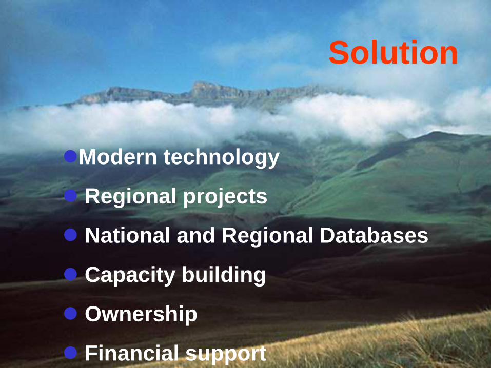
Modern technology
Regional projects
National and Regional Databases
Capacity building
Ownership
Financial support
Solution
WMO RESPONSE
In response to the recommendation of
Agenda 21 chapter 18 and the
recommendations of UNDP/WB project
on Hydrological Assessment for Sub-
Saharan countries, and to meet the
Management challenge, WMO developed
the WHYCOS concept in 1993
WHAT IS WHYCOS
A system for building the capacity of water resources management at the national, river basin, regional and global levels
Aims at promoting cooperation in the collection, transmission, processing, archiving and use of hydrological data and information
WHYCOS address the needs and requirements of the
basins like integrated management of the water resources,
flood forecasting, water quality monitoring, etc.
OBJECTIVES
Long term
Strengthen regional and international cooperation.
Establish a global network of key national stations.
Support Research and Climate Change Adaptation
Short term Strengthen technical and institutional
capabilities of hydrological services.
Promote and facilitate dissemination and use
of water-related information
Better understanding of global hydrological cycle;
Improved knowledge on the status and trends of the
world's freshwater resources,
Understanding hydrological variability, detect climate
change, and predict impacts of climate change,
Strengthen cooperation between NHS’s and NMS’s.
Strengthen regional cooperation
WHYCOS CONTRIBUT TO
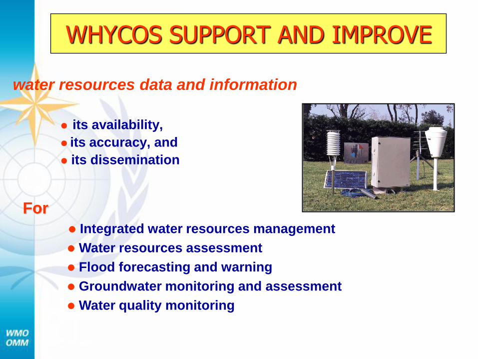
WHYCOS SUPPORT AND IMPROVE
water resources data and information
its availability,
its accuracy, and
its dissemination
For
Integrated water resources management
Water resources assessment
Flood forecasting and warning
Groundwater monitoring and assessment
Water quality monitoring
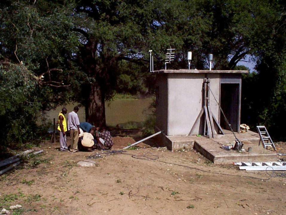
WHYCOS STRUCTURE
WHYCOS consists of a number of different components, each independently implemented and responsive to national and regional/basin needs.
WHYCOS DEVELOPMENT STAGES
Request stage (Countries, Regional bodies)
Concept stage (Countries, Regional bodies, WMO)
Proposal stage (Countries, Regional bodies, WMO, Donors)
Project Implementation stage
Preparatory stage (Countries, Regional bodies, WMO, Donors)
Field implementation (Countries, Regional bodies, WMO, Donors)
Maintenance and operation (Countries)
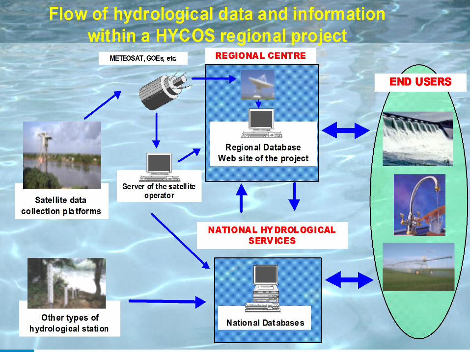
Information System
Improving National and Regional data
collection systems
Establishing National and Regional Data
Banks
Preparation of information (products)
Dissemination of Information
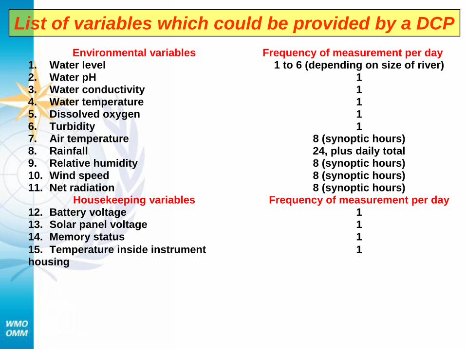
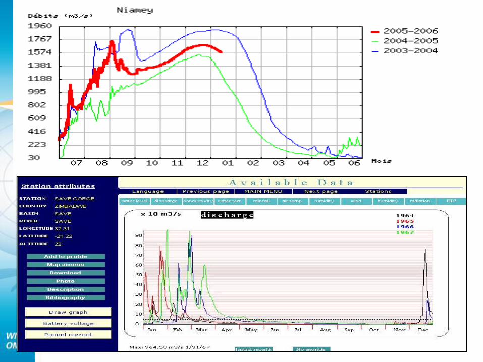
Environmental variables Frequency of measurement per day 1. Water level 1 to 6 (depending on size of river) 2. Water pH 1 3. Water conductivity 1 4. Water temperature 1 5. Dissolved oxygen 1 6. Turbidity 1 7. Air temperature 8 (synoptic hours) 8. Rainfall 24, plus daily total 9. Relative humidity 8 (synoptic hours) 10. Wind speed 8 (synoptic hours) 11. Net radiation 8 (synoptic hours)
Housekeeping variables Frequency of measurement per day 12. Battery voltage 1 13. Solar panel voltage 1 14. Memory status 1
15. Temperature inside instrument housing
1
List of variables which could be provided by a DCP
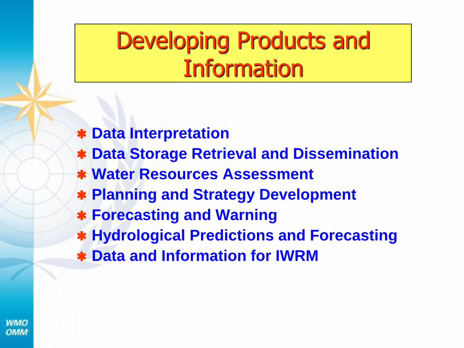
Developing Products and Information
Data Interpretation
Data Storage Retrieval and Dissemination
Water Resources Assessment
Planning and Strategy Development
Forecasting and Warning
Hydrological Predictions and Forecasting
Data and Information for IWRM
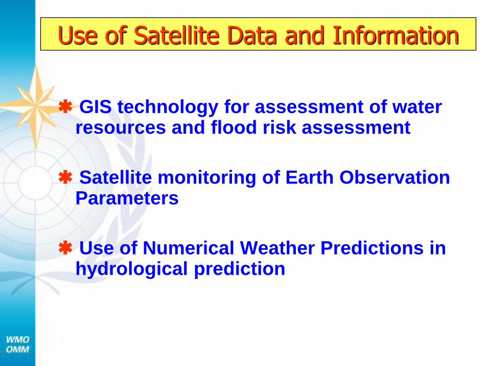
Use of Satellite Data and Information
GIS technology for assessment of water resources and flood risk assessment
Satellite monitoring of Earth Observation Parameters
Use of Numerical Weather Predictions in hydrological prediction
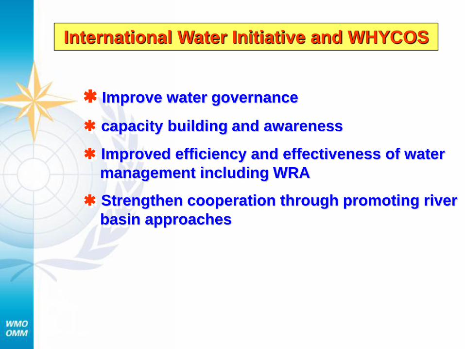
International Water Initiative and WHYCOS
Improve water governance
capacity building and awareness
Improved efficiency and effectiveness of water
management including WRA
Strengthen cooperation through promoting river
basin approaches
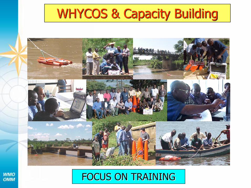
WHYCOS & Capacity Building
FOCUS ON TRAINING
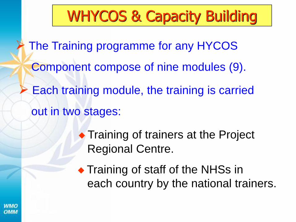
The Training programme for any HYCOS
Component compose of nine modules (9).
Each training module, the training is carried
out in two stages:
Training of trainers at the Project
Regional Centre.
Training of staff of the NHSs in
each country by the national trainers.
WHYCOS & Capacity Building
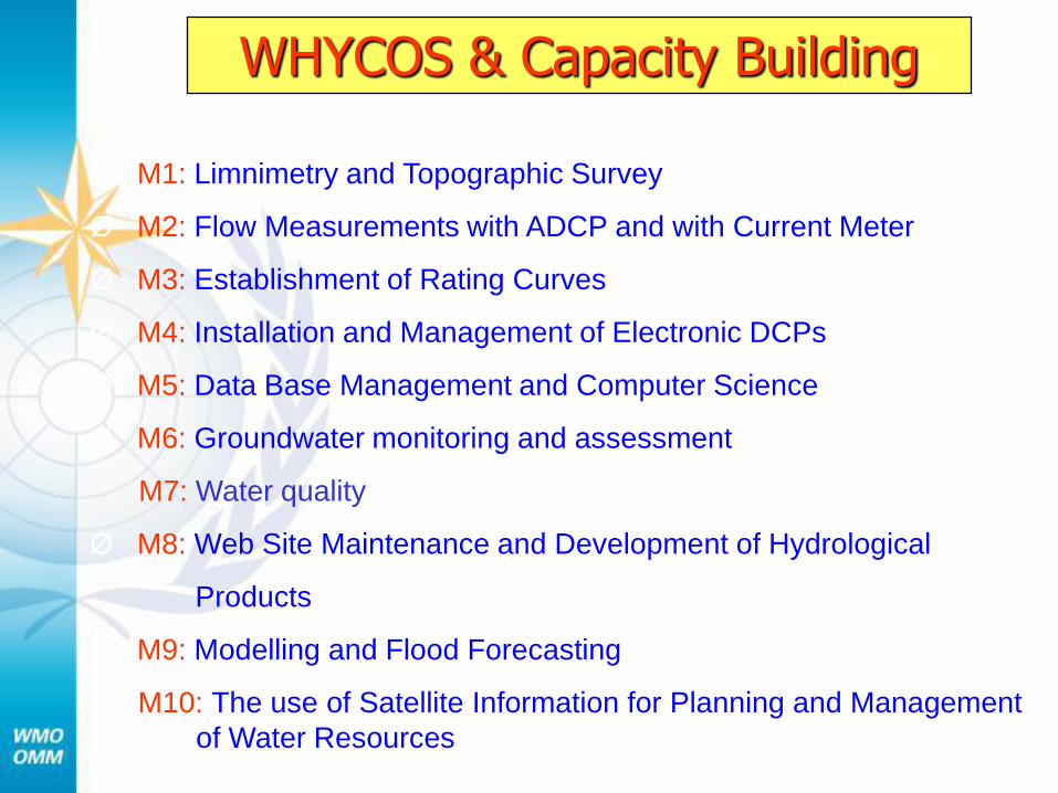
Ø M1: Limnimetry and Topographic Survey
Ø M2: Flow Measurements with ADCP and with Current Meter
Ø M3: Establishment of Rating Curves
Ø M4: Installation and Management of Electronic DCPs
Ø M5: Data Base Management and Computer Science
Ø M6: Groundwater monitoring and assessment
M7: Water quality
Ø M8: Web Site Maintenance and Development of Hydrological
Products
Ø M9: Modelling and Flood Forecasting
Ø M10: The use of Satellite Information for Planning and Management
of Water Resources
WHYCOS & Capacity Building
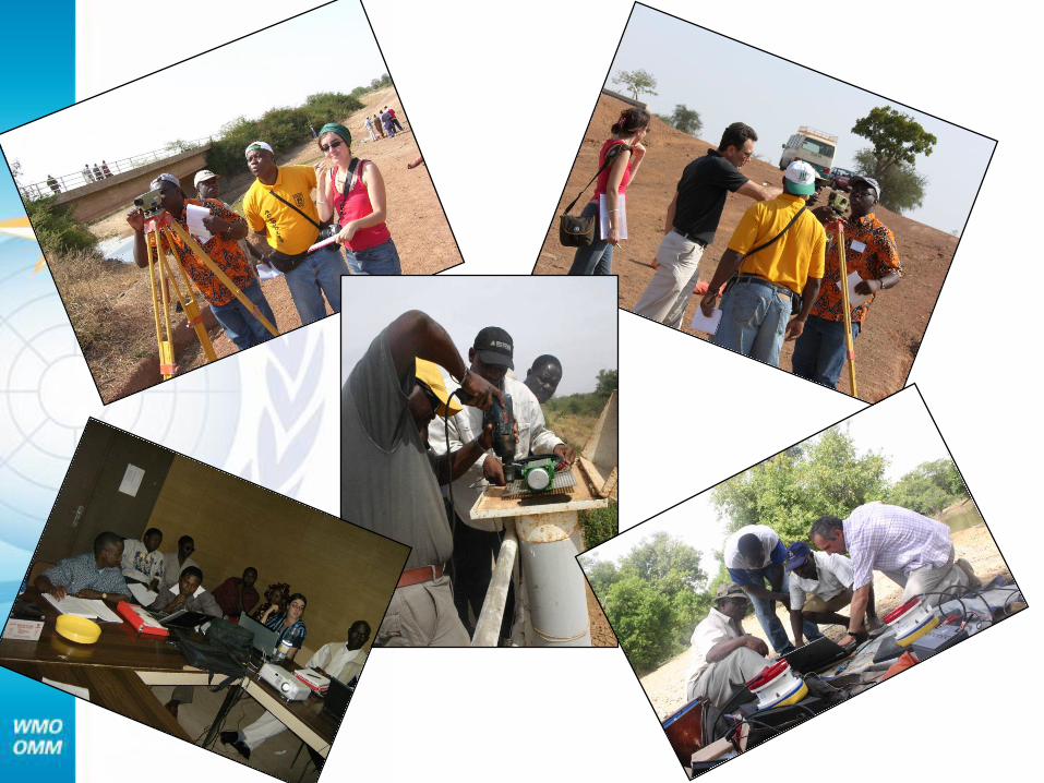
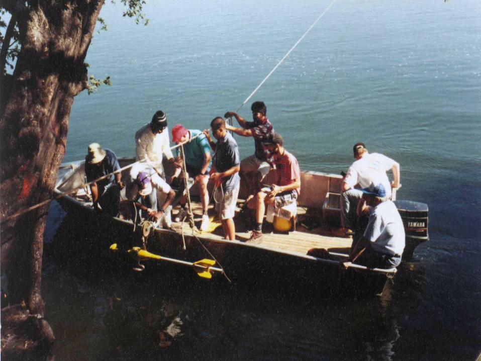
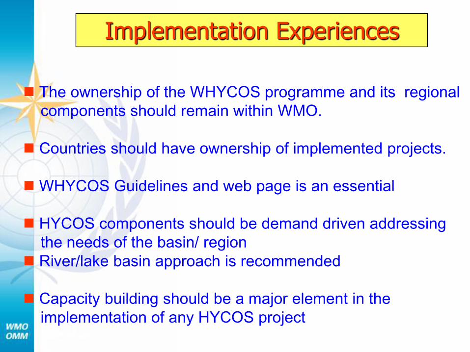
Implementation Experiences
The ownership of the WHYCOS programme and its regional
components should remain within WMO.
Countries should have ownership of implemented projects.
WHYCOS Guidelines and web page is an essential
HYCOS components should be demand driven addressing
the needs of the basin/ region
River/lake basin approach is recommended
Capacity building should be a major element in the
implementation of any HYCOS project
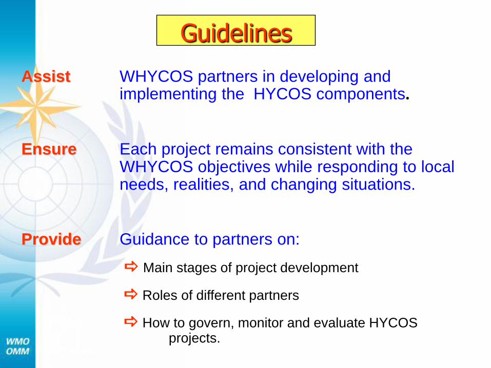
Guidelines
Assist WHYCOS partners in developing and implementing the HYCOS components.
Ensure Each project remains consistent with the WHYCOS objectives while responding to local needs, realities, and changing situations.
Provide Guidance to partners on:
Main stages of project development
Roles of different partners
How to govern, monitor and evaluate HYCOS projects.
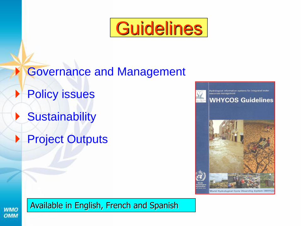
Governance and Management
Policy issues
Sustainability
Project Outputs
Guidelines
Available in English, French and Spanish
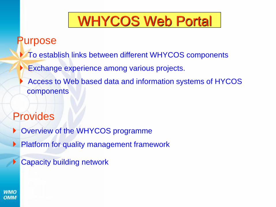
WHYCOS Web Portal
Purpose
To establish links between different WHYCOS components
Exchange experience among various projects.
Access to Web based data and information systems of HYCOS
components
Provides
Overview of the WHYCOS programme
Platform for quality management framework
Capacity building network
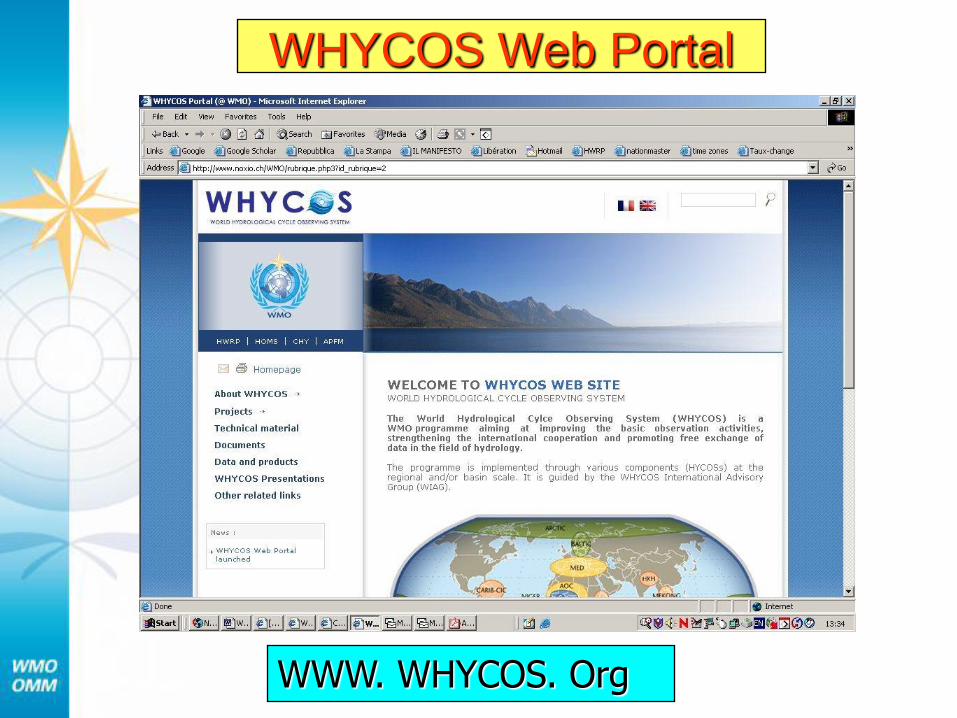
WHYCOS Web Portal
WWW. WHYCOS. Org
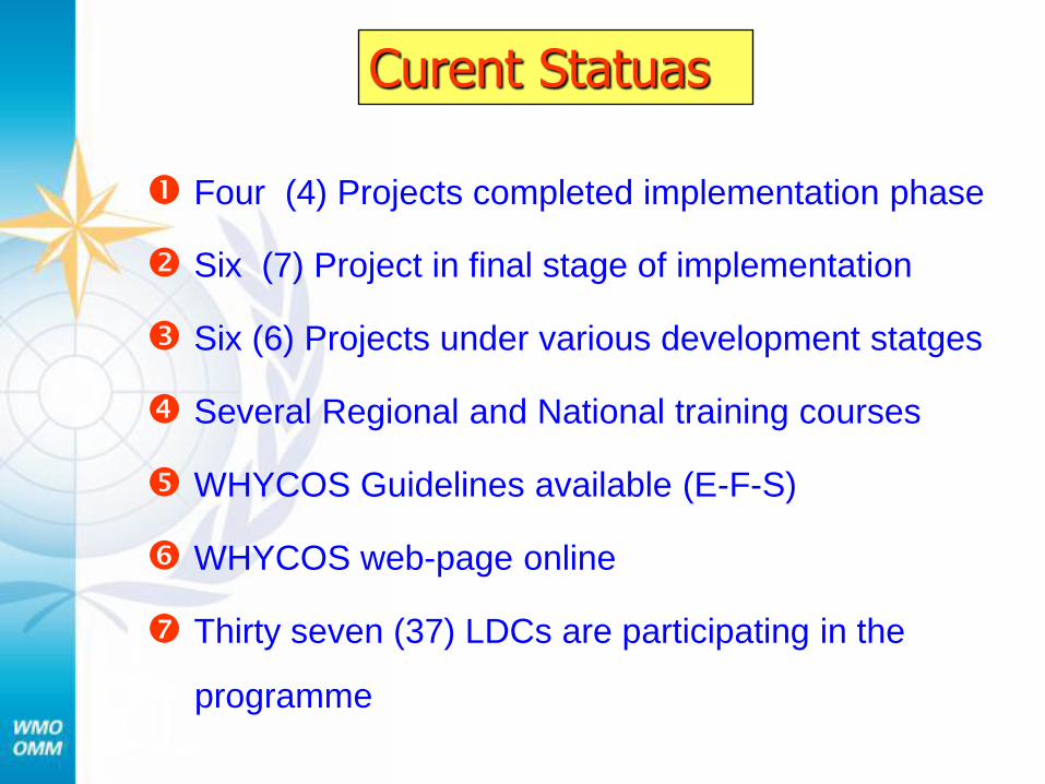
Curent Statuas
Four (4) Projects completed implementation phase
Six (7) Project in final stage of implementation
Six (6) Projects under various development statges
Several Regional and National training courses
WHYCOS Guidelines available (E-F-S)
WHYCOS web-page online
Thirty seven (37) LDCs are participating in the
programme
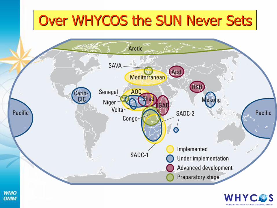
Over WHYCOS the SUN Never Sets
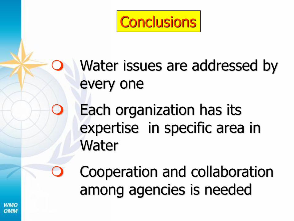
Conclusions
Water issues are addressed by
every one
Each organization has its
expertise in specific area in Water
Cooperation and collaboration
among agencies is needed
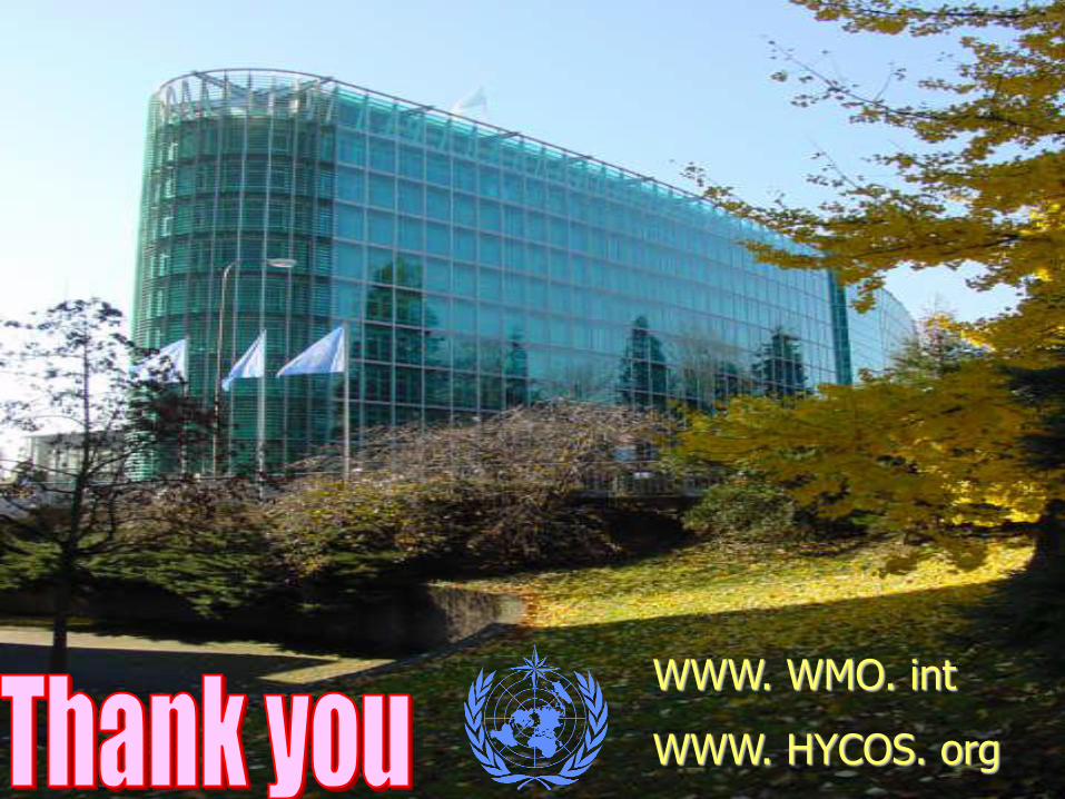
WWW. WMO. int
WWW. HYCOS. org


The end


