Embed Size (px)
Citation preview
ETSI Workshop "Future Evolution of Marine
Communication", 7-8 November 2017, Sophia Antipolis,
France
Karlis Bogens
BR Terrestrial Services Department
International Telecommunication Union
GMDSS modernisation and e-navigation:
spectrum needs
� General Introduction to the work of the ITU
� Current Global Maritime Distress and Safety System
(GMDSS)
� Maritime terrestrial systems
� Maritime satellite systems
� Modernization of GMDSS
� Future maritime terrestrial and satellite systems
� WRC-19/WRC-23 Agenda Items on GMDSS
Outline of presentation
2
� The ITU is the United Nations specialized agency for
information and communication technologies
� The ITU coordinates the shared global use of the radio
spectrum and satellite orbits
� The ITU develops technical standards that ensure
telecommunication networks/technologies interconnect and
interoperability
� The ITU assists in improving telecommunication infrastructure
in the developing countries
� The ITU comprises 193 Member States, 869 Sector Members,
135 Associates and Academia. ITU secretariat: 750 staff of 71
nationalities
General introduction to the work of the ITU
The ITU has three main areas of activity organized in ‘Sectors’ which
work through conferences and meetings:
� The Radiocommunication Sector (ITU-R) - Radio issues
� The Standardization Sector (ITU-T) - Standards for wired networks
� The Development Sector (ITU-D) - assistance to countries
The ITU's work, in the area of Radiocommunication, is performed in
the ITU-R Sector, which:
� Establishes and updates international regulations on
spectrum/orbit use and applies them
� Produces global standards, associated material
(recommendations, reports and handbooks) and best practices
on spectrum and orbit use
� Disseminates information on these regulations, standards and
best practice
General introduction to the work of the ITU
� The WRC is held every three to four years, it reviews and revises the Radio
Regulations, the international treaty governing the use of the radio frequency
spectrum and satellite orbits
� The WRC’s satisfy spectrum requirements for new radio technologies while
protecting incumbent radio services and improving the international radio
spectrum regulatory framework
� About 25% of the content of the Radio Regulation (RR) Articles are devoted to
maritime radio.
� A close relationship exists between the Radio Regulations and various
International Maritime Organization (IMO) conventions such as the Safety Of Life
At Sea (SOLAS)
� The main purpose of the RR is to ensure interference free operation of all radio
services.
ITU Radiocommunication Sector (ITU-R)
World Radiocommunication Conference (WRC)
ITU Radiocommunication Sector (ITU-R)
Study Groups
� ITU-R study groups develop the technical, operational, regulatory and
procedural bases for decisions taken by WRCs
� They develop international standards (recommendations), reports,
opinions and handbooks on Radiocommunication matters
� They usually meet twice a year. More than 5000 participating
specialists. The Groups dealing with maritime issues:
� ITU-R Study Group 5 deals with: Maritime Mobile Service including the
Global Maritime Distress and Safety System (GMDSS); the Aeronautical
Mobile Service and the radiodetermination service
� Working Party 5B (WP5B) develops Recommendations, Reports and
Handbooks on maritime, aeronautical and radiodetermination services,
including GMDSS and the Global Aeronautical Distress and Safety System
(GADSS)
� Working Party 4C (WP4C) deals with the mobile satellite service,
including its maritime component
� The Current GMDSS was developed in the 1980s and finalized in 1990s
� GMDSS uses HF, MF and VHF terrestrial radio communications systems
� Search and rescue radar and AIS transponders (SARTs)
� Satellite communications and SAR systems which include distress
alerting provided by Inmarsat and Cospas-Sarsat
� 100,000 large commercial merchant ships and millions of other vessels
use the GMDSS
� New IMO mandatory systems (that may be associated with GMDSS
equipment installed on a ship) have come online over the past 10 years
• AIS Automatic Identification Systems, AIS uses VHF frequencies
• LRIT Long Range Identification and Tracking is a ship tracking and
monitoring system
• SSAS Ship Security Alerting System, a mandatory commercial ship
anti-piracy alerting facility
Global Maritime Distress and Safety System
(GMDSS)
Provisions of the Radio Regulations related to
GMDSS
CHAPTER VII – Distress and safety communications
ARTICLE 30 General provisions
ARTICLE 31 Frequencies for GMDSS
ARTICLE 32 Operational procedures for distress communications in
GMDSS
ARTICLE 33 Operational procedures for urgency and safety
communications in GMDSS
ARTICLE 34 Alerting signals in GMDSS
Appendix 15 Frequencies for distress and safety communications for
GMDSS
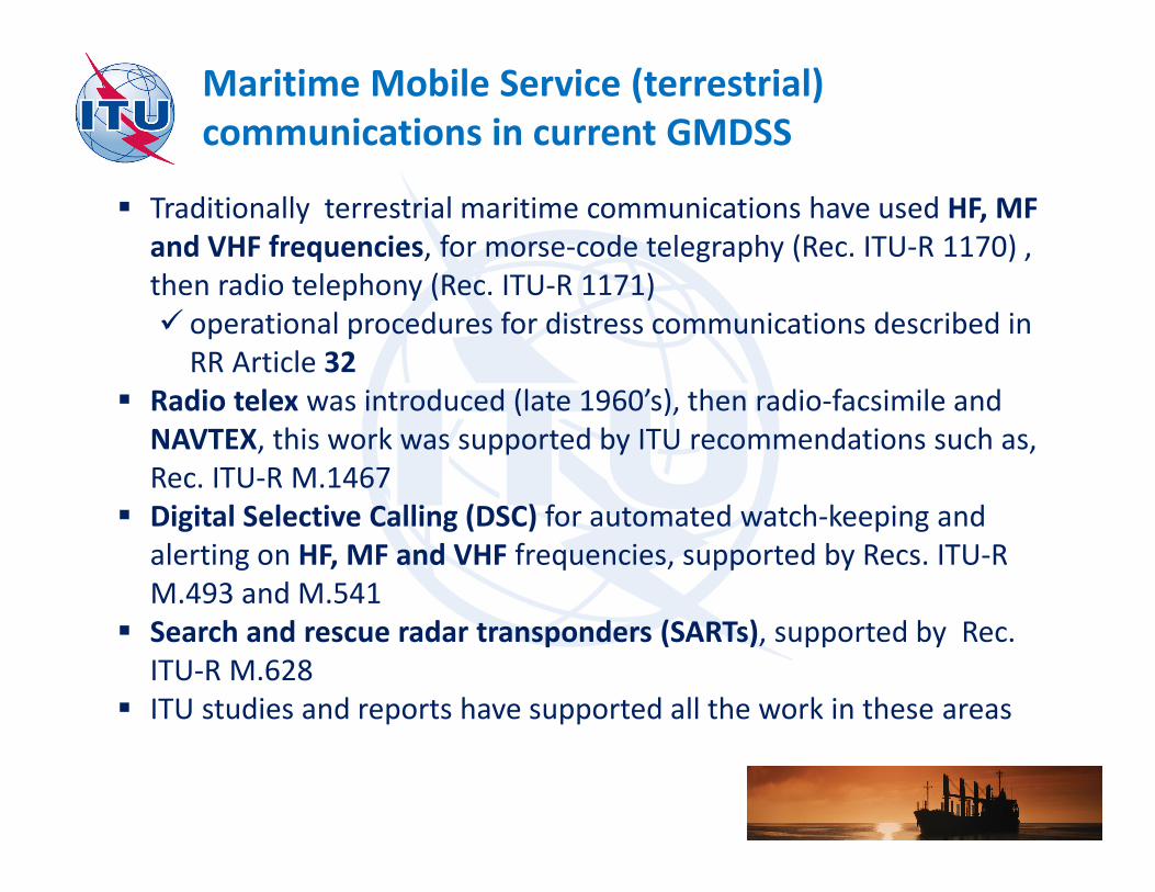
Maritime Mobile Service (terrestrial)
communications in current GMDSS
� Traditionally terrestrial maritime communications have used HF, MF
and VHF frequencies, for morse-code telegraphy (Rec. ITU-R 1170) ,
then radio telephony (Rec. ITU-R 1171)
� operational procedures for distress communications described in
RR Article 32
� Radio telex was introduced (late 1960’s), then radio-facsimile and
NAVTEX, this work was supported by ITU recommendations such as,
Rec. ITU-R M.1467
� Digital Selective Calling (DSC) for automated watch-keeping and
alerting on HF, MF and VHF frequencies, supported by Recs. ITU-R
M.493 and M.541
� Search and rescue radar transponders (SARTs), supported by Rec.
ITU-R M.628
� ITU studies and reports have supported all the work in these areas
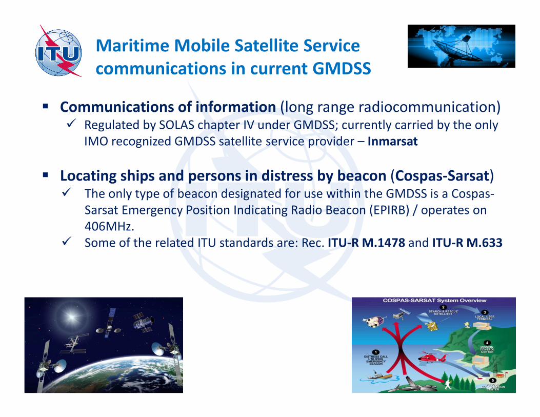
Maritime Mobile Satellite Service
communications in current GMDSS
� Communications of information (long range radiocommunication)� Regulated by SOLAS chapter IV under GMDSS; currently carried by the only
IMO recognized GMDSS satellite service provider – Inmarsat
� Locating ships and persons in distress by beacon (Cospas-Sarsat)� The only type of beacon designated for use within the GMDSS is a Cospas-
Sarsat Emergency Position Indicating Radio Beacon (EPIRB) / operates on
406MHz.
� Some of the related ITU standards are: Rec. ITU-R M.1478 and ITU-R M.633
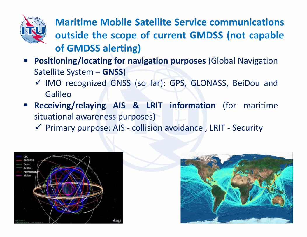
Maritime Mobile Satellite Service communications
outside the scope of current GMDSS (not capable
of GMDSS alerting)� Positioning/locating for navigation purposes (Global Navigation
Satellite System – GNSS)
� IMO recognized GNSS (so far): GPS, GLONASS, BeiDou and
Galileo
� Receiving/relaying AIS & LRIT information (for maritime
situational awareness purposes)
� Primary purpose: AIS - collision avoidance , LRIT - Security
Modernization of GMDSS in progress
� Call for modernization given technological advances
�GMDSS technologies used (DSC), have not reached their full potential
�GMDSS functions could be performed by more modern technologies
� IMO (MSC) agreed to revise GMDSS aspects of SOLAS chapter IV on radiocommunications to accommodate new technologies
�non-SOLAS ships also should be considered
� Early this year, MSC-98 has approved the Modernization Plan
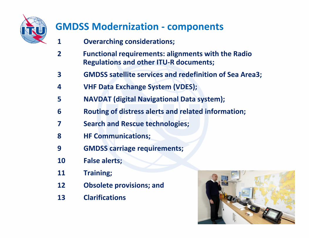
GMDSS Modernization - components
1 Overarching considerations;
2 Functional requirements: alignments with the Radio Regulations and other ITU-R documents;
3 GMDSS satellite services and redefinition of Sea Area3;
4 VHF Data Exchange System (VDES);
5 NAVDAT (digital Navigational Data system);
6 Routing of distress alerts and related information;
7 Search and Rescue technologies;
8 HF Communications;
9 GMDSS carriage requirements;
10 False alerts;
11 Training;
12 Obsolete provisions; and
13 Clarifications
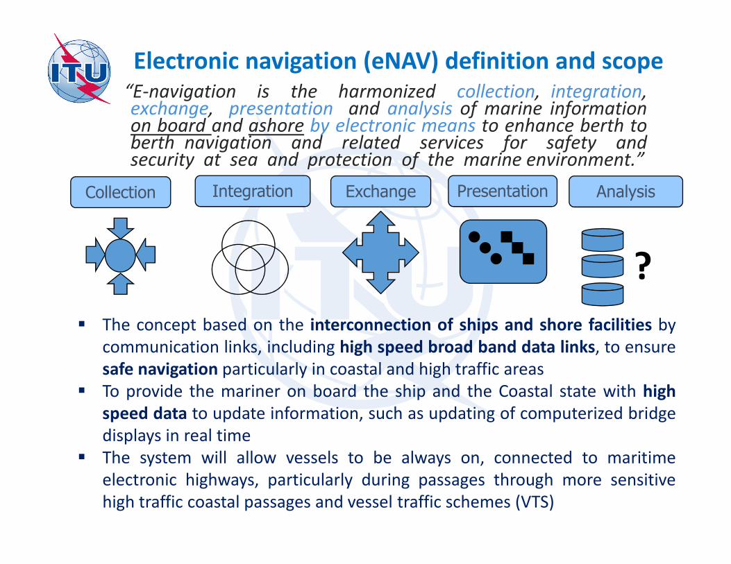
Electronic navigation (eNAV) definition and scope“E-navigation is the harmonized collection, integration,exchange, presentation and analysis of marine informationon board and ashore by electronic means to enhance berth toberth navigation and related services for safety andsecurity at sea and protection of the marine environment.”
Presentation Analysis
?
ExchangeCollection Integration
� The concept based on the interconnection of ships and shore facilities by
communication links, including high speed broad band data links, to ensure
safe navigation particularly in coastal and high traffic areas
� To provide the mariner on board the ship and the Coastal state with high
speed data to update information, such as updating of computerized bridge
displays in real time
� The system will allow vessels to be always on, connected to maritime
electronic highways, particularly during passages through more sensitive
high traffic coastal passages and vessel traffic schemes (VTS)
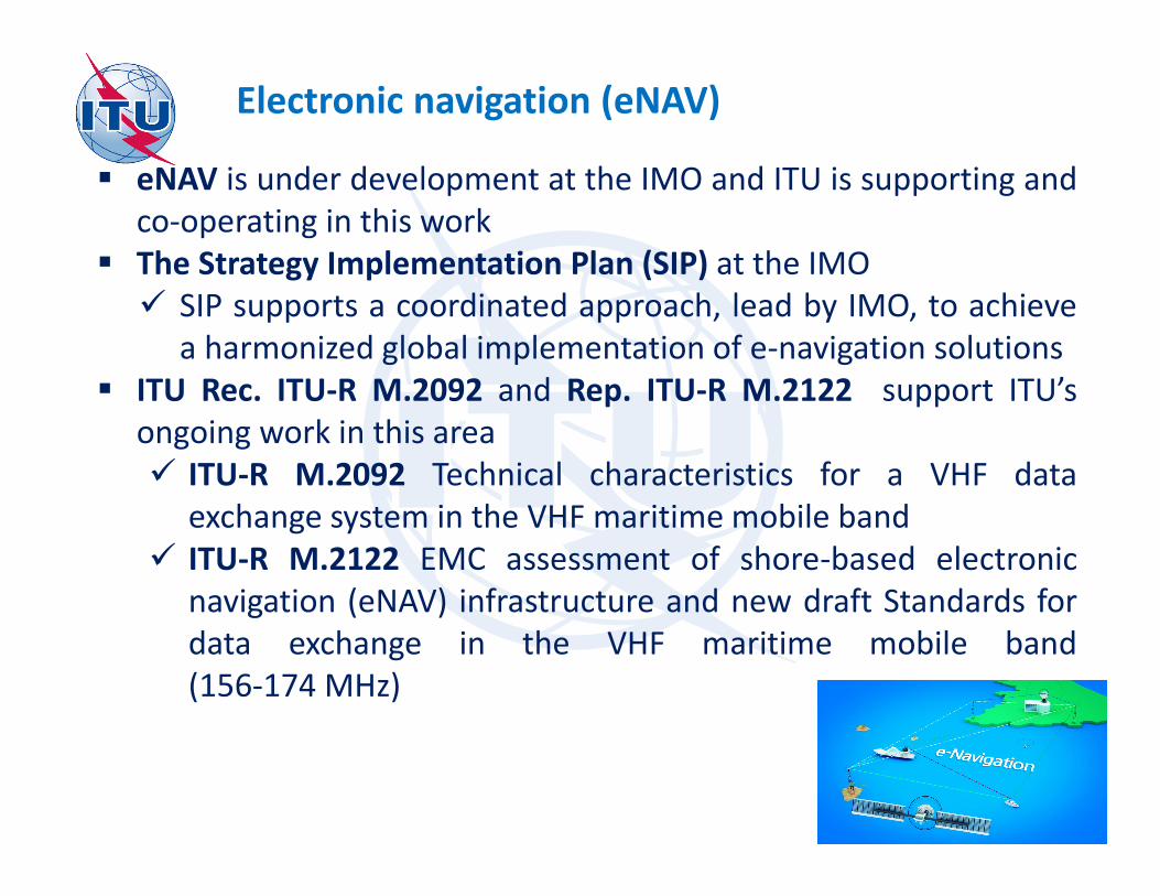
Electronic navigation (eNAV)
� eNAV is under development at the IMO and ITU is supporting and
co-operating in this work
� The Strategy Implementation Plan (SIP) at the IMO
� SIP supports a coordinated approach, lead by IMO, to achieve
a harmonized global implementation of e-navigation solutions
� ITU Rec. ITU-R M.2092 and Rep. ITU-R M.2122 support ITU’s
ongoing work in this area
� ITU-R M.2092 Technical characteristics for a VHF data
exchange system in the VHF maritime mobile band
� ITU-R M.2122 EMC assessment of shore-based electronic
navigation (eNAV) infrastructure and new draft Standards for
data exchange in the VHF maritime mobile band
(156-174 MHz)
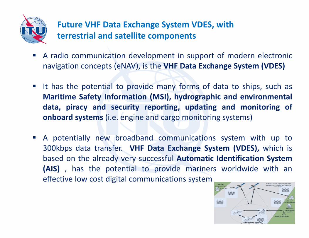
Future VHF Data Exchange System VDES, with
terrestrial and satellite components
� A radio communication development in support of modern electronic
navigation concepts (eNAV), is the VHF Data Exchange System (VDES)
� It has the potential to provide many forms of data to ships, such as
Maritime Safety Information (MSI), hydrographic and environmental
data, piracy and security reporting, updating and monitoring of
onboard systems (i.e. engine and cargo monitoring systems)
� A potentially new broadband communications system with up to
300kbps data transfer. VHF Data Exchange System (VDES), which is
based on the already very successful Automatic Identification System
(AIS) , has the potential to provide mariners worldwide with an
effective low cost digital communications system
Future VHF Data Exchange System VDES, with
terrestrial and satellite components
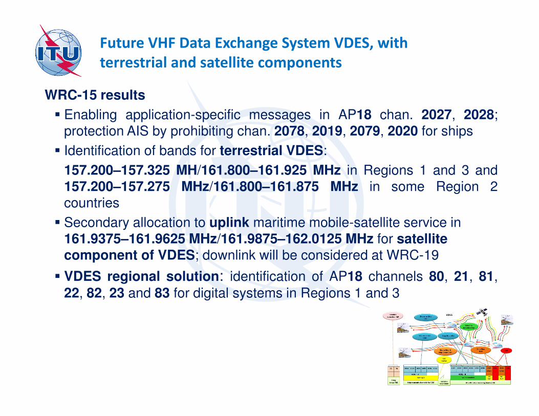
WRC-15 results
� Enabling application-specific messages in AP18 chan. 2027, 2028;protection AIS by prohibiting chan. 2078, 2019, 2079, 2020 for ships
� Identification of bands for terrestrial VDES:
157.200–157.325 MH/161.800–161.925 MHz in Regions 1 and 3 and157.200–157.275 MHz/161.800–161.875 MHz in some Region 2countries
� Secondary allocation to uplink maritime mobile-satellite service in 161.9375–161.9625 MHz/161.9875–162.0125 MHz for satellite component of VDES; downlink will be considered at WRC-19
� VDES regional solution: identification of AP18 channels 80, 21, 81,
22, 82, 23 and 83 for digital systems in Regions 1 and 3

Navigational Data for broadcasting maritime safety and security related information (NAVDAT)
� Broadcast of digital files from coasts to ships
� Sequential transmission : like NAVTEX (Also possible on
Single Frequency Network SFN )
� Broadcast modes: �General for all ships
�Selective: By geographical area, By group of ships, For a specific ship
� Possibility of encryption for confidential information
� ITU Recs. ITU-R M.2010 ITU-R M.2058 and Rep. ITU-R
M.2201 support ITU’s ongoing work in this area
� WRC-12 exclusively allocated 495-505 kHz band
� Possible additional frequencies for NAVDAT HF:� 4 MHz band 4 226 kHz / 4 221 - 4 231 kHz
� 6 MHz band 6 337.5 kHz / 6 332.5 - 6 342.5 kHz
� 8 MHz band 8 443 kHz / 8 438 - 8 448 kHz
� 12 MHz band 12 663.5 kHz / 12 658.5 - 12 668.5 kHz
� 16 MHz band 16 909.5 kHz / 16 904.5 - 16 914.5 kHz
� 22 MHz band 22450.5 kHz / 22445.5 – 22455.5 kHz
500 kHz RECEPTION
ANTENNAGPS
ANTENNA
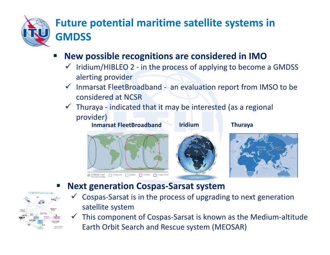
Future potential maritime satellite systems in
GMDSS
� New possible recognitions are considered in IMO� Iridium/HIBLEO 2 - in the process of applying to become a GMDSS
alerting provider
� Inmarsat FleetBroadband - an evaluation report from IMSO to be
considered at NCSR
� Thuraya - indicated that it may be interested (as a regional
provider)IridiumInmarsat FleetBroadband Thuraya
� Next generation Cospas-Sarsat system� Cospas-Sarsat is in the process of upgrading to next generation
satellite system
� This component of Cospas-Sarsat is known as the Medium-altitude
Earth Orbit Search and Rescue system (MEOSAR)
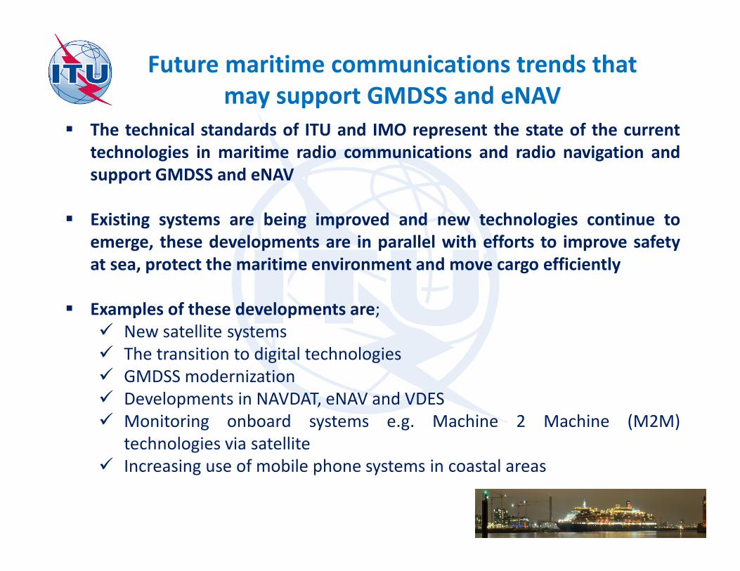
Future maritime communications trends that
may support GMDSS and eNAV
� The technical standards of ITU and IMO represent the state of the current
technologies in maritime radio communications and radio navigation and
support GMDSS and eNAV
� Existing systems are being improved and new technologies continue to
emerge, these developments are in parallel with efforts to improve safety
at sea, protect the maritime environment and move cargo efficiently
� Examples of these developments are;
� New satellite systems
� The transition to digital technologies
� GMDSS modernization
� Developments in NAVDAT, eNAV and VDES
� Monitoring onboard systems e.g. Machine 2 Machine (M2M)
technologies via satellite
� Increasing use of mobile phone systems in coastal areas
Maritime issues
WRC-19 agenda items 1.8 & 1.9.2 / WRC-23
► Res. 359 (Rev.WRC-15)
► Res. 360 (Rev.WRC-15)
►WRC-23 Preliminary Agenda / Res. 810 (WRC-15)
� Spectrum for GMDSS modernization & implementation of e-navigation
� Studies to consider RR MODs, including new MMSS (E-s & s-E) allocations, preferably within 156.0125-157.4375 MHz & 160.6125-162.0375 MHz of RR App. 18, to enable a new VDES (VHF data exchange system) satellite downlink component
� Studies to consider possible regulatory actions to supportGMDSS (Global Maritime Distress Safety Systems)modernization and the introduction of additional satellitesystems into the GMDSS
� ITU provides spectrum resources for all maritime
terrestrial and satellite systems
� It ensures interference-free operation of maritime
radio equipment and its compatibility with non-
maritime systems (through compatible allocations,
channeling arrangements, technical limitations)
� It standardizes maritime radio equipment ensuring its
interoperability
Summary