Embed Size (px)
DESCRIPTION
MEDIN Standards M. Charlesworth and the MEDIN Standards Working Group. Why Standards?. Standards speed up the access to and use of data leading to significant resource savings - PowerPoint PPT Presentation
Citation preview
MEDIN Standards
M. Charlesworth and the MEDIN Standards Working Group
Why Standards?
• Standards speed up the access to and use of data leading to significant resource savings
• Government stated that they will ‘ensure that all data published by public bodies is published in an open and standardised format, so it can be used easily and with minimal cost by third parties’
• To comply with national/international initiatives
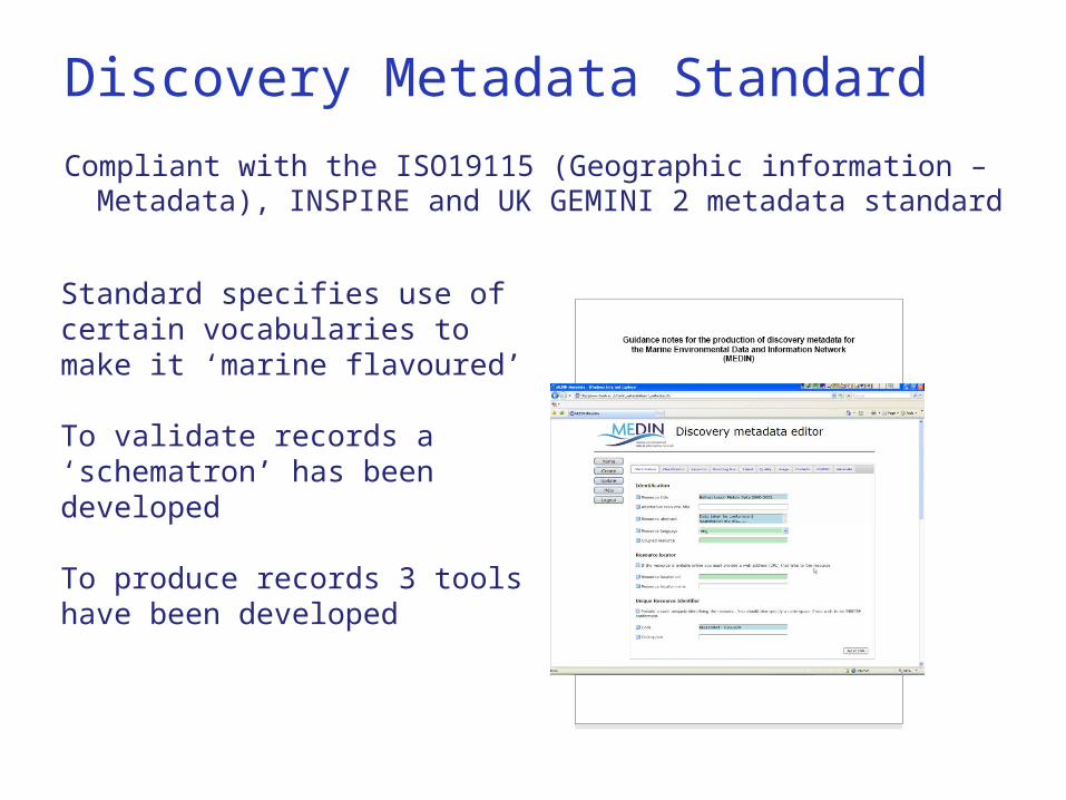
Discovery Metadata Standard
Compliant with the ISO19115 (Geographic information – Metadata), INSPIRE and UK GEMINI 2 metadata standard
Standard specifies use of certain vocabularies to make it ‘marine flavoured’
To validate records a ‘schematron’ has been developed
To produce records 3 tools have been developed
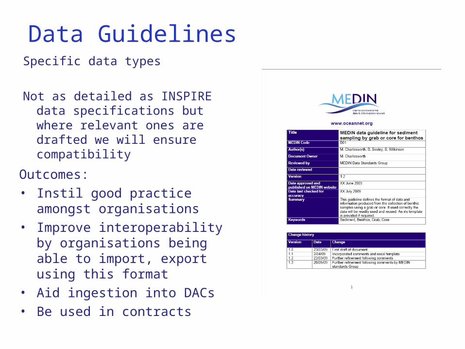
Data GuidelinesSpecific data types
Not as detailed as INSPIRE data specifications but where relevant ones are drafted we will ensure compatibility
Outcomes:• Instil good practice amongst
organisations • Improve interoperability by
organisations being able to import, export using this format
• Aid ingestion into DACs• Be used in contracts
Term Lists (Controlled Vocabs)
Promoting use of vocabs in specific themes via data guidelines and deriving new vocabs where required
Vocabs are available through 3rd parties or alternatively ‘served’ using the NERC vocab server developed in coordination with the european project SeaDataNet.
Standards WG
• Meets every 4-5 months
• Range of people (geographically, organisationally and technically)
• Good links to other national and international initiatives (INSPIRE, Location Programme, AGI, SeaDataNet etc)
• Sets and oversees work programme following input from other WGs
• Governs changes to existing standards
Breakout session
• Presentation to go into further detail of the different standards
• Demonstration of some of the tools
• Get feedback and discuss potential improvements, application of standards and coordination.
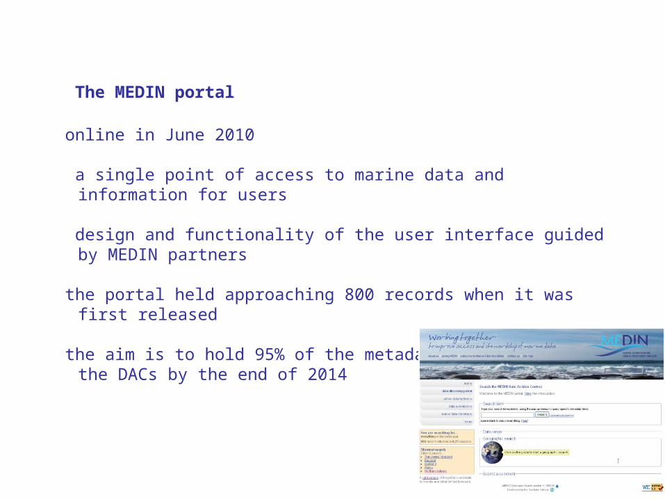
The MEDIN portal
online in June 2010 a single point of access to marine data and information for users
design and functionality of the user interface guided by MEDIN partners
the portal held approaching 800 records when it was first released
the aim is to hold 95% of the metadata holdings across the DACs by the end of 2014
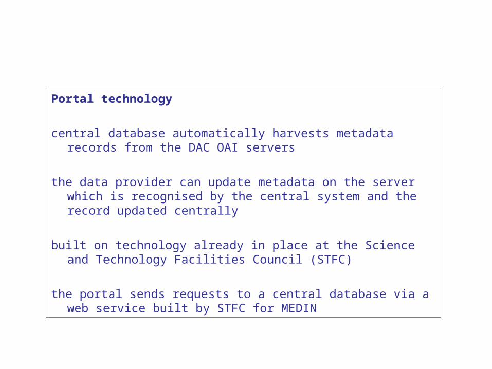
Portal technology
central database automatically harvests metadata records from the DAC OAI servers
the data provider can update metadata on the server which is recognised by the central system and the record updated centrally
built on technology already in place at the Science and Technology Facilities Council (STFC)
the portal sends requests to a central database via a web service built by STFC for MEDIN
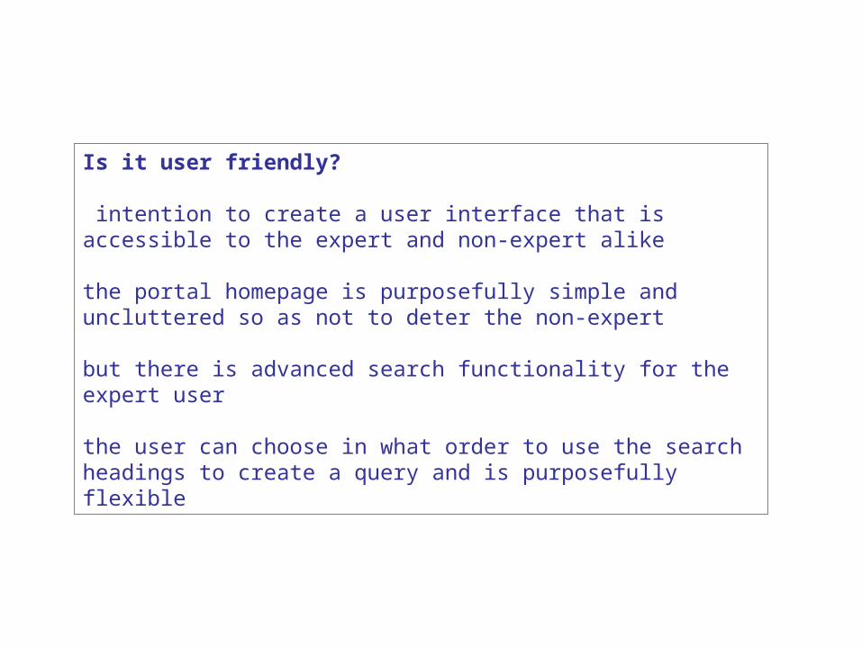
Is it user friendly?
intention to create a user interface that is accessible to the expert and non-expert alike
the portal homepage is purposefully simple and uncluttered so as not to deter the non-expert
but there is advanced search functionality for the expert user
the user can choose in what order to use the search headings to create a query and is purposefully flexible
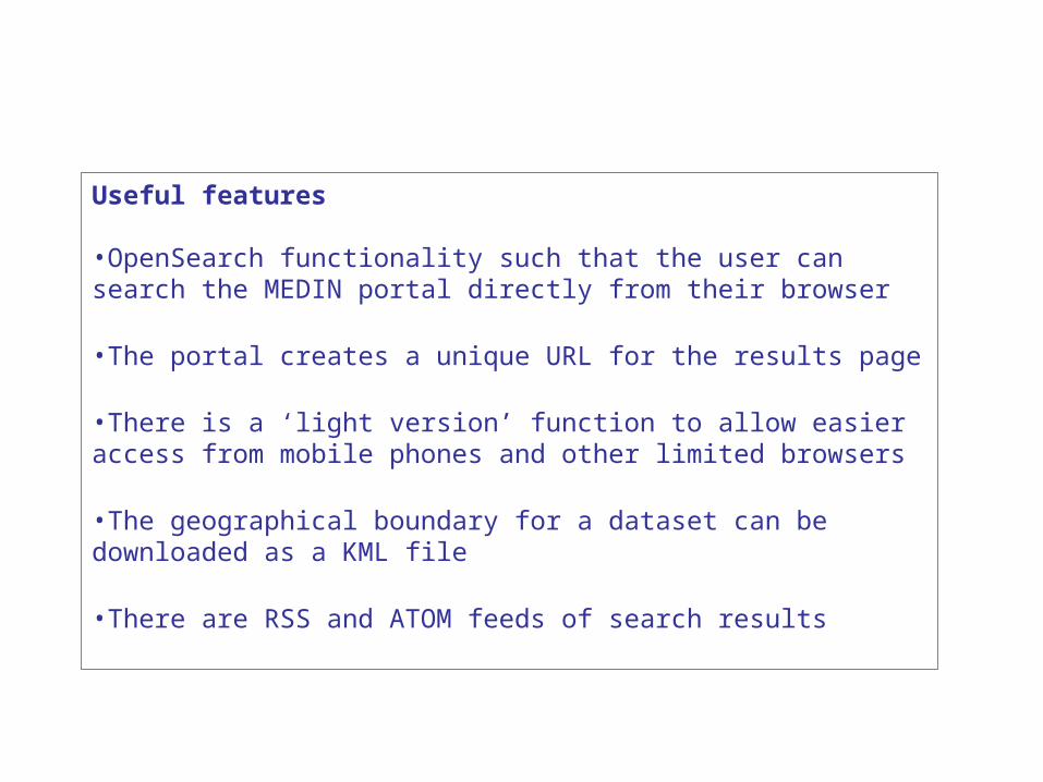
Useful features •OpenSearch functionality such that the user can search the MEDIN portal directly from their browser
•The portal creates a unique URL for the results page
•There is a ‘light version’ function to allow easier access from mobile phones and other limited browsers
•The geographical boundary for a dataset can be downloaded as a KML file
•There are RSS and ATOM feeds of search results
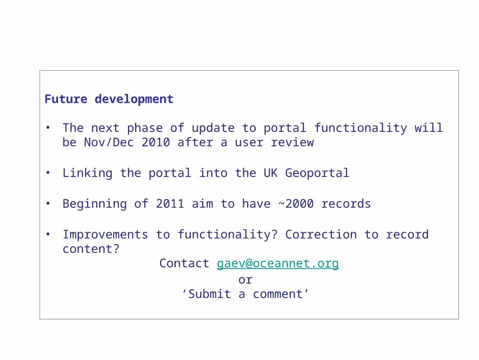
Future development
• The next phase of update to portal functionality will be Nov/Dec 2010 after a user review
• Linking the portal into the UK Geoportal
• Beginning of 2011 aim to have ~2000 records
• Improvements to functionality? Correction to record content? Contact [email protected]
or ‘Submit a comment’