Embed Size (px)
Citation preview
July 7, 2015
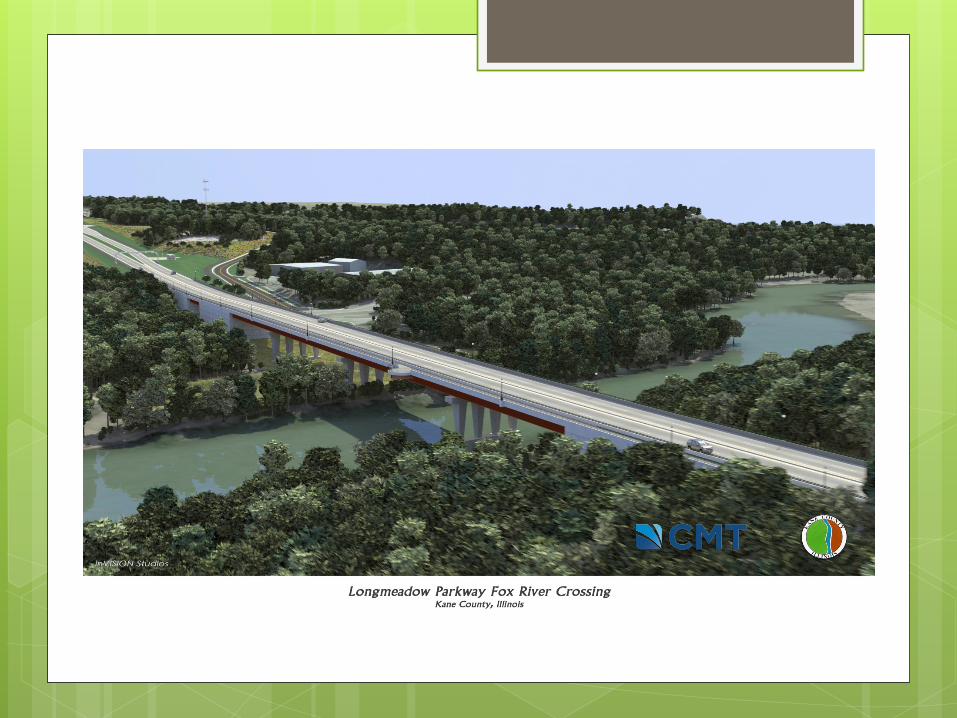
Longmeadow Parkway Fox River Bridge Corridor
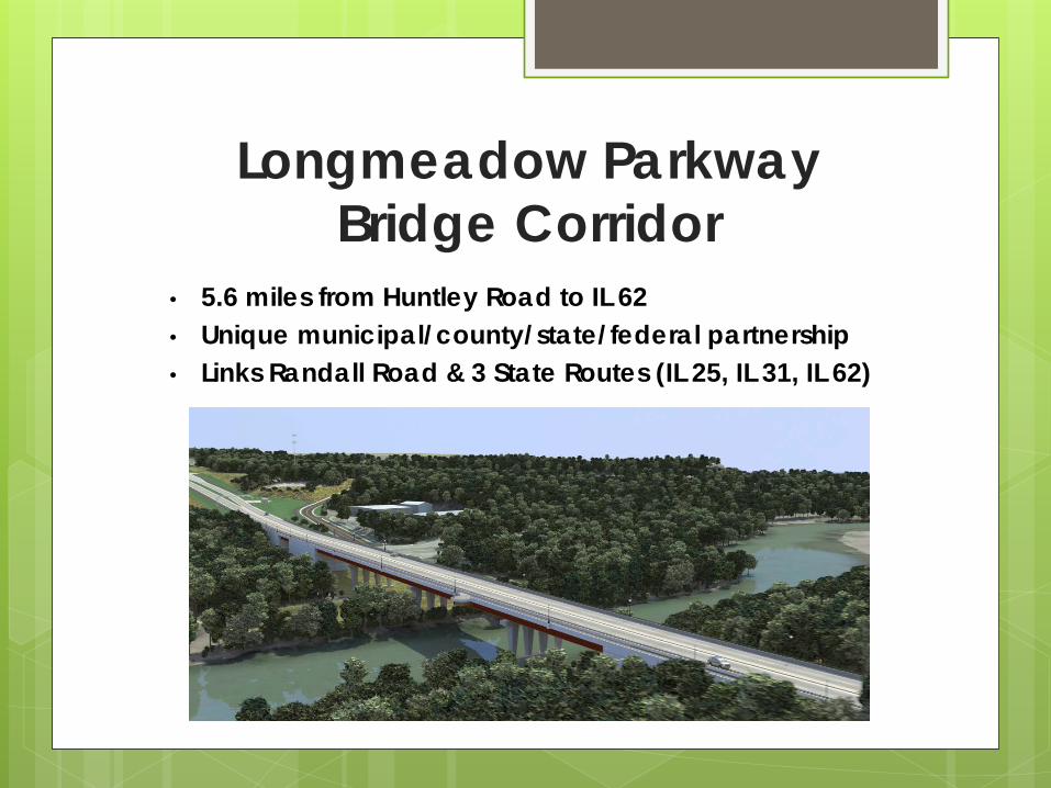
Longmeadow Parkway Bridge Corridor
• 5.6 miles from Huntley Road to IL 62 • Unique municipal/county/state/federal partnership • Links Randall Road & 3 State Routes (IL 25, IL 31, IL 62)
Project Purpose Enhance Kane County’s transportation
network by reducing congestion and providing alternative and more direct routes
Serve existing and planned land use through efficient access to central business districts, public services, and employment / commercial centers
Project Need No new river crossings in Upper Fox Valley since I-90 in 1950’s
Congestion & Travel Delay increasing on area roadway network with negative impacts to local streets/neighborhoods
Tenfold Population Increase west of Fox River since 1980s with northern Kane County; currently a Chicago region leader in new housing starts
2040 Growth Projection: additional 150,000+ people for immediate area with increasing impacts to existing bridges, streets and communities
Impacts to Economic Growth & Existing Communities–traffic congestion hampers access to local business districts, employment and commercial centers
Carpentersville Main St. bridge carries increasing regional traffic with impacts to local neighborhoods on east side of river
“It takes time” – From the Start… 1990 – Bridge Advisory Committee formed to
comprehensively study 20+ potential new bridge crossings of Fox River
1990-2001 – extensive team of federal, state and local agencies including over a hundred environmental and engineering professionals evaluated potential bridge corridors
Included four (4) Dundee-area corridors: County Line, Longmeadow Parkway, Miller/Lake Marian & Boncosky
Evaluated land, water, air, structures, living organisms, social, cultural, and economic impacts with 30+ public meetings for the Environmental Impact Statement (EIS) process
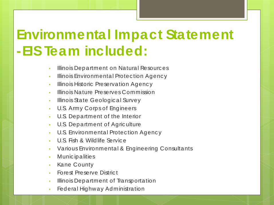
Environmental Impact Statement -EIS Team included:
• Illinois Department on Natural Resources
• Illinois Environmental Protection Agency
• Illinois Historic Preservation Agency
• Illinois Nature Preserves Commission
• Illinois State Geological Survey
• U.S. Army Corps of Engineers
• U.S. Department of the Interior
• U.S. Department of Agriculture
• U.S. Environmental Protection Agency
• U.S. Fish & Wildlife Service
• Various Environmental & Engineering Consultants
• Municipalities
• Kane County
• Forest Preserve District
• Illinois Department of Transportation
• Federal Highway Administration
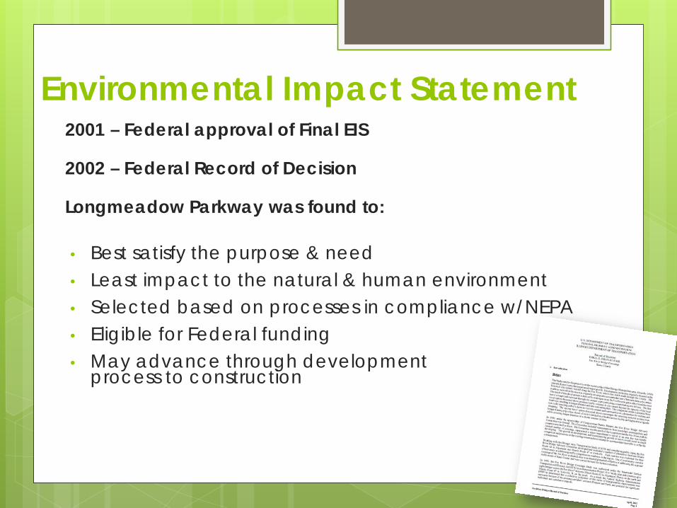
Environmental Impact Statement 2001 – Federal approval of Final EIS 2002 – Federal Record of Decision Longmeadow Parkway was found to: • Best satisfy the purpose & need • Least impact to the natural & human environment • Selected based on processes in compliance w/NEPA • Eligible for Federal funding • May advance through development
process to construction
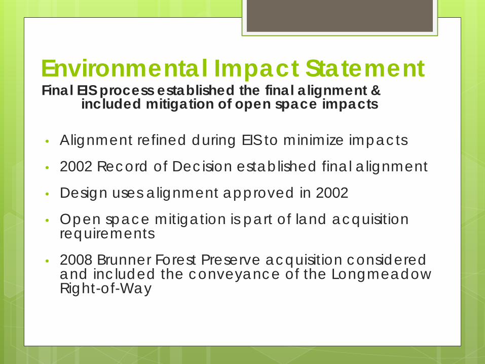
Environmental Impact Statement Final EIS process established the final alignment &
included mitigation of open space impacts • Alignment refined during EIS to minimize impacts
• 2002 Record of Decision established final alignment
• Design uses alignment approved in 2002
• Open space mitigation is part of land acquisition requirements
• 2008 Brunner Forest Preserve acquisition considered and included the conveyance of the Longmeadow Right-of-Way
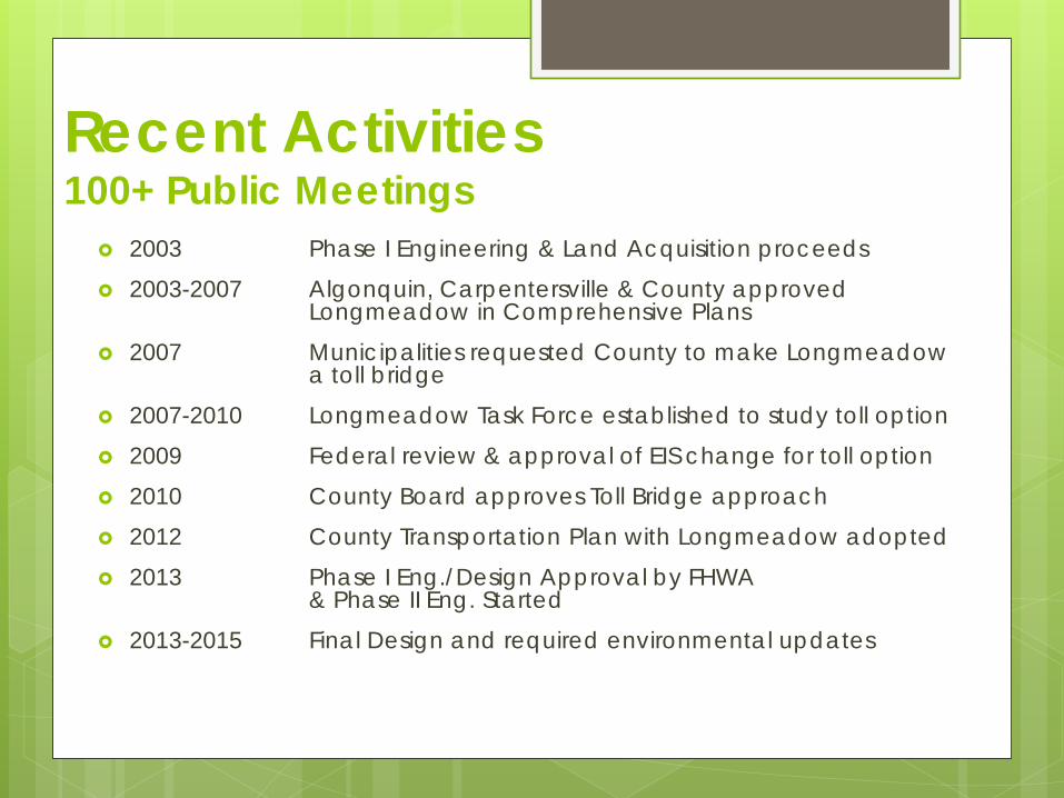
Recent Activities 100+ Public Meetings
2003 Phase I Engineering & Land Acquisition proceeds
2003-2007 Algonquin, Carpentersville & County approved Longmeadow in Comprehensive Plans
2007 Municipalities requested County to make Longmeadow a toll bridge
2007-2010 Longmeadow Task Force established to study toll option
2009 Federal review & approval of EIS change for toll option
2010 County Board approves Toll Bridge approach
2012 County Transportation Plan with Longmeadow adopted
2013 Phase I Eng./Design Approval by FHWA & Phase II Eng. Started
2013-2015 Final Design and required environmental updates
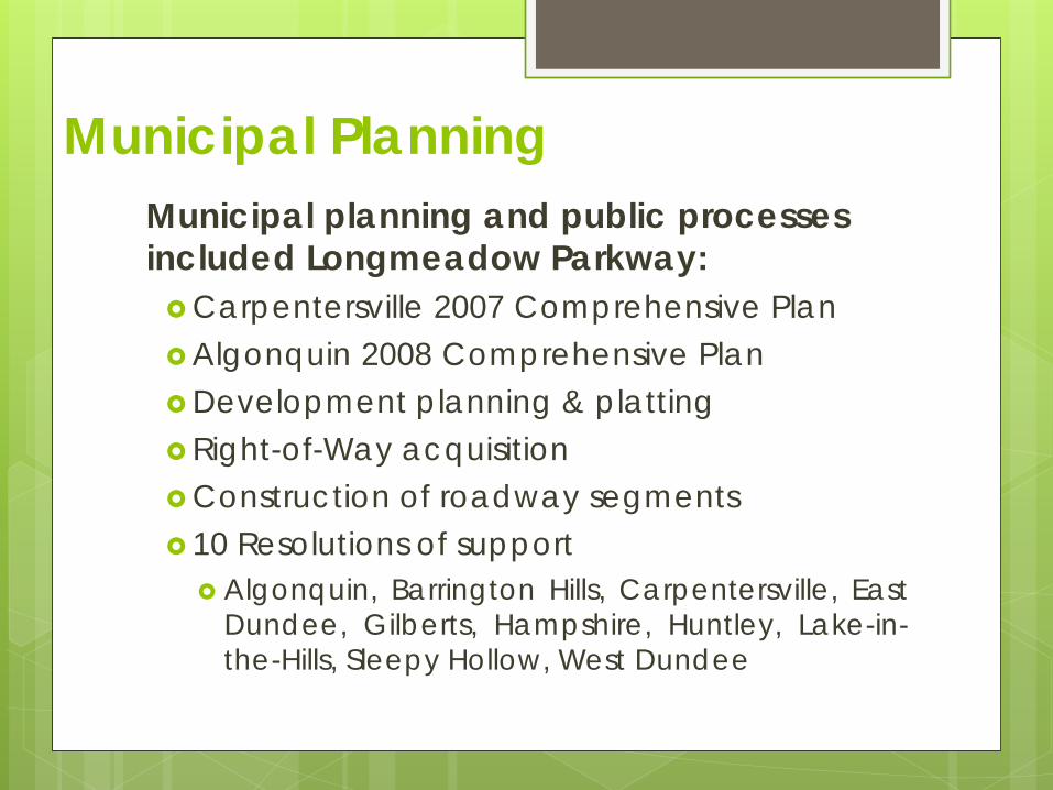
Municipal Planning Municipal planning and public processes included Longmeadow Parkway: Carpentersville 2007 Comprehensive Plan Algonquin 2008 Comprehensive Plan Development planning & platting Right-of-Way acquisition Construction of roadway segments 10 Resolutions of support
Algonquin, Barrington Hills, Carpentersville, East Dundee, Gilberts, Hampshire, Huntley, Lake-in-the-Hills, Sleepy Hollow, West Dundee
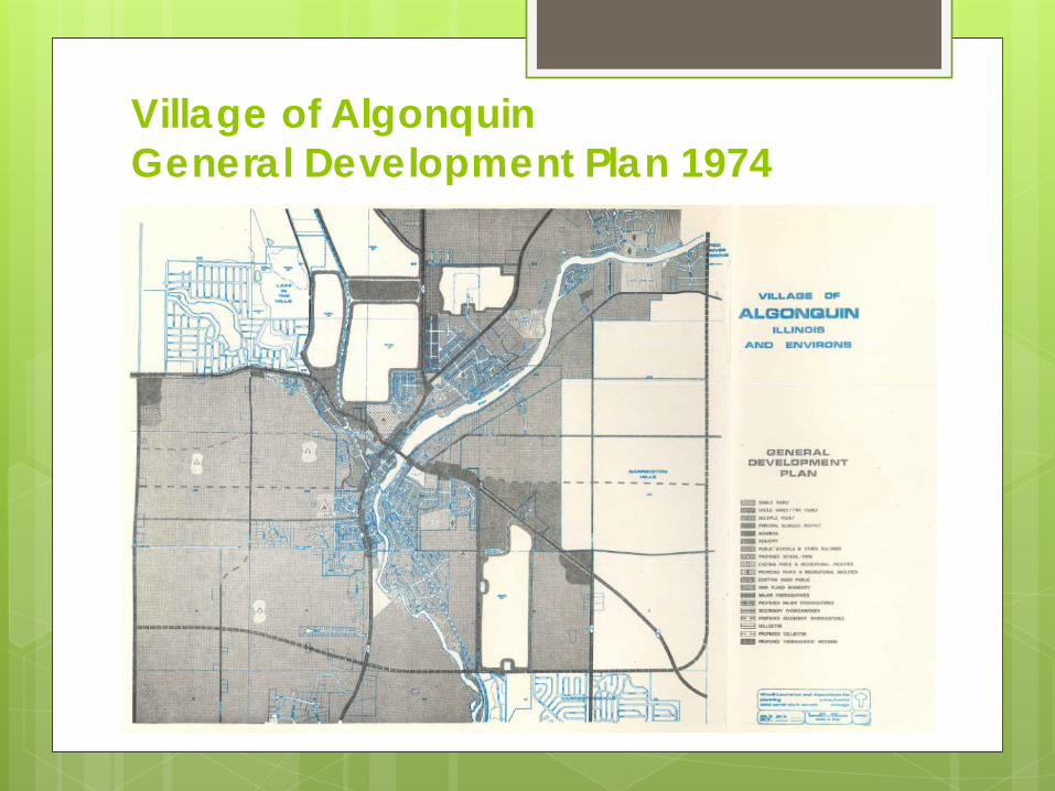
Village of Algonquin General Development Plan 1974
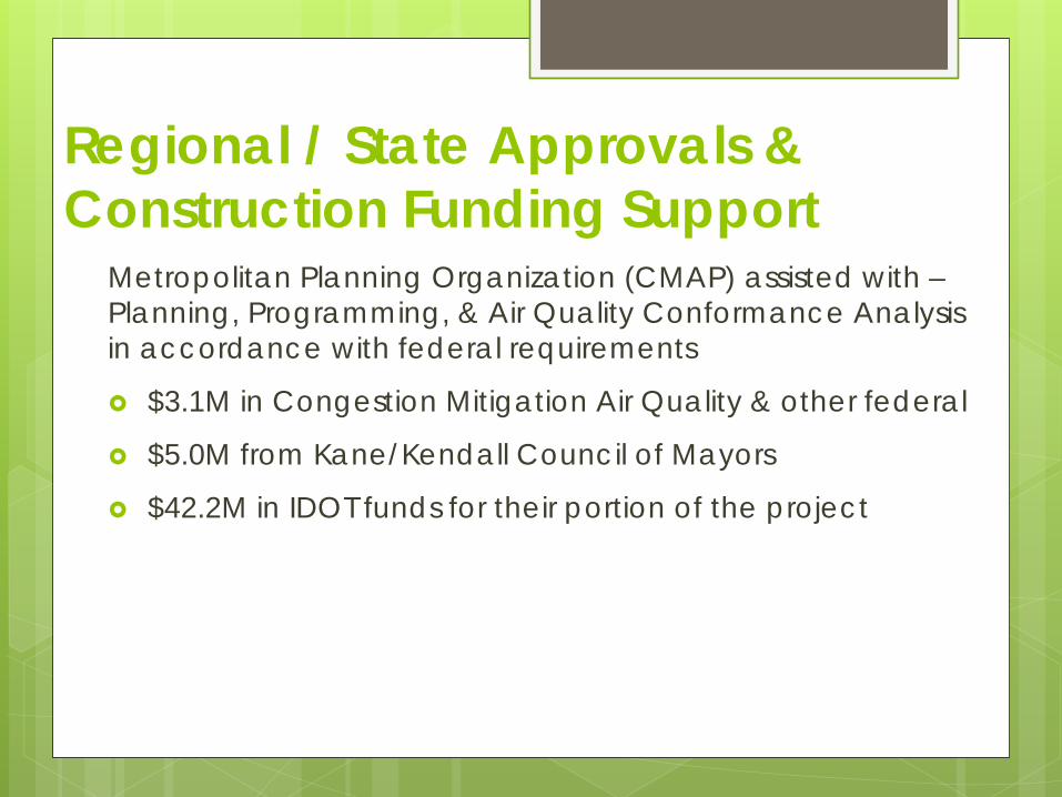
Regional / State Approvals & Construction Funding Support
Metropolitan Planning Organization (CMAP) assisted with – Planning, Programming, & Air Quality Conformance Analysis in accordance with federal requirements
$3.1M in Congestion Mitigation Air Quality & other federal
$5.0M from Kane/Kendall Council of Mayors
$42.2M in IDOT funds for their portion of the project
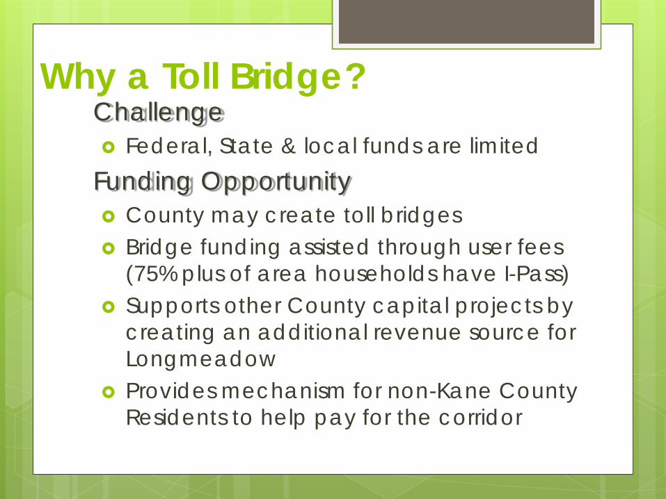
Why a Toll Bridge? Challenge Federal, State & local funds are limited
Funding Opportunity County may create toll bridges Bridge funding assisted through user fees
(75% plus of area households have I-Pass) Supports other County capital projects by
creating an additional revenue source for Longmeadow
Provides mechanism for non-Kane County Residents to help pay for the corridor
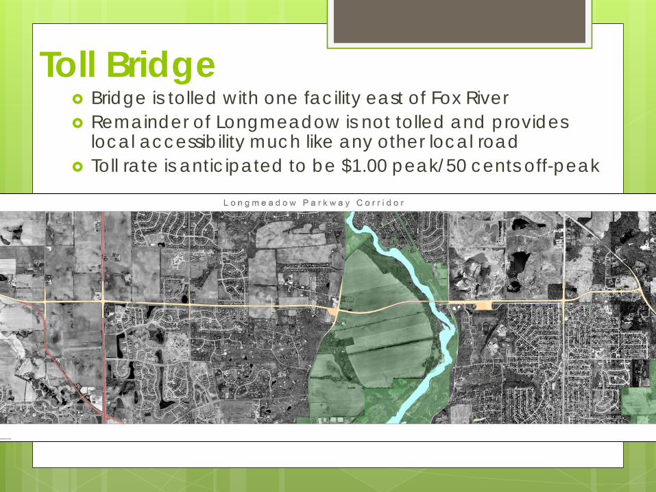
Toll Bridge Bridge is tolled with one facility east of Fox River Remainder of Longmeadow is not tolled and provides
local accessibility much like any other local road Toll rate is anticipated to be $1.00 peak/50 cents off-peak
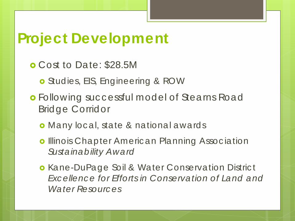
Project Development Cost to Date: $28.5M
Studies, EIS, Engineering & ROW
Following successful model of Stearns Road Bridge Corridor Many local, state & national awards
Illinois Chapter American Planning Association Sustainability Award
Kane-DuPage Soil & Water Conservation District Excellence for Efforts in Conservation of Land and Water Resources
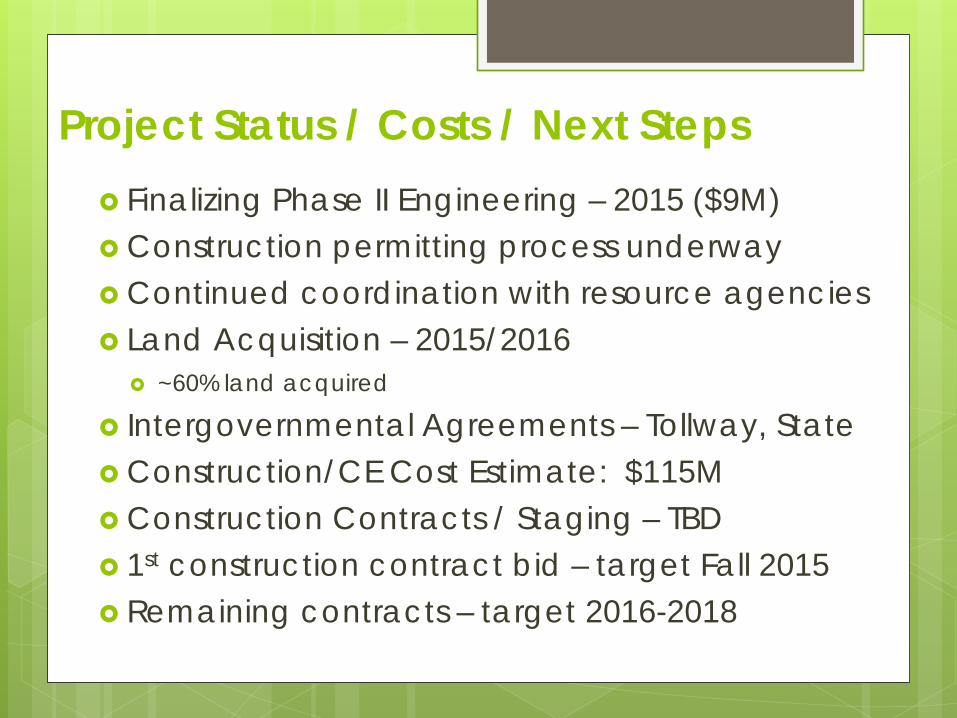
Project Status / Costs / Next Steps Finalizing Phase II Engineering – 2015 ($9M) Construction permitting process underway Continued coordination with resource agencies Land Acquisition – 2015/2016
~60% land acquired
Intergovernmental Agreements – Tollway, State Construction/CE Cost Estimate: $115M Construction Contracts / Staging – TBD 1st construction contract bid – target Fall 2015 Remaining contracts – target 2016-2018
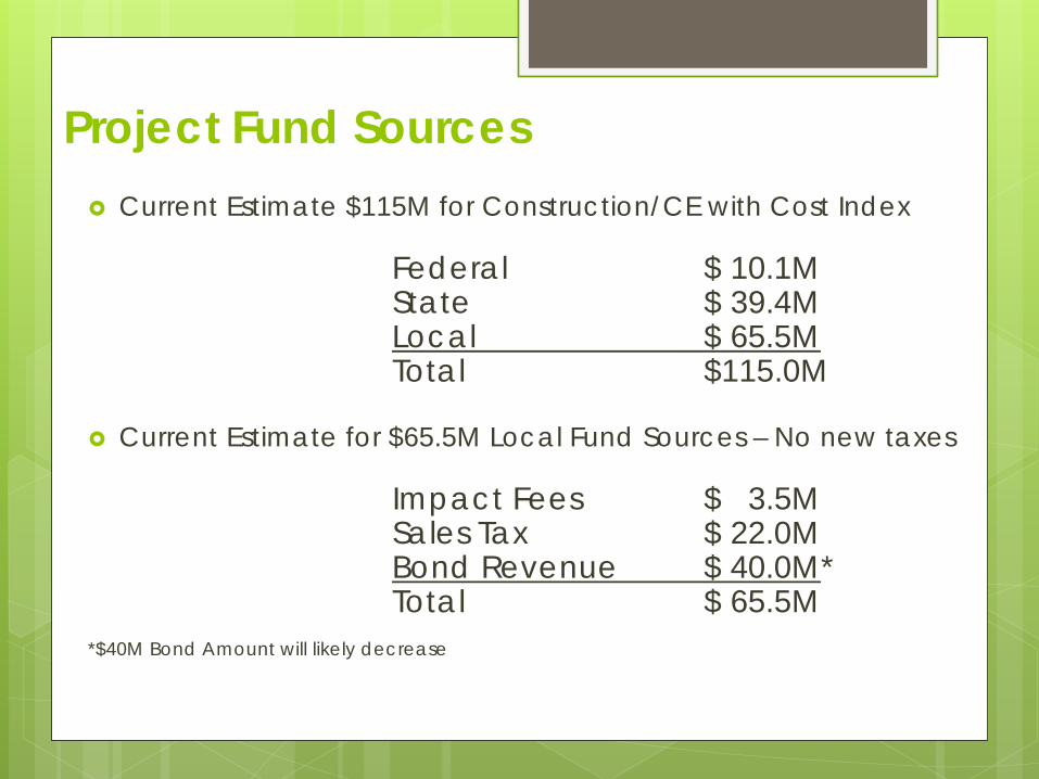
Project Fund Sources Current Estimate $115M for Construction/CE with Cost Index
Federal $ 10.1M State $ 39.4M Local $ 65.5M Total $115.0M
Current Estimate for $65.5M Local Fund Sources – No new taxes
Impact Fees $ 3.5M Sales Tax $ 22.0M Bond Revenue $ 40.0M* Total $ 65.5M *$40M Bond Amount will likely decrease