Embed Size (px)
Citation preview
Reconstruction of Veterans Lane and
its Impact on the Floodplain
By: Mark Mayhew, PE1
1. Development – Overview2. Cooks Runs – Veterans Lane3. Raising Roadway – Modeling4. Flood Storage
2
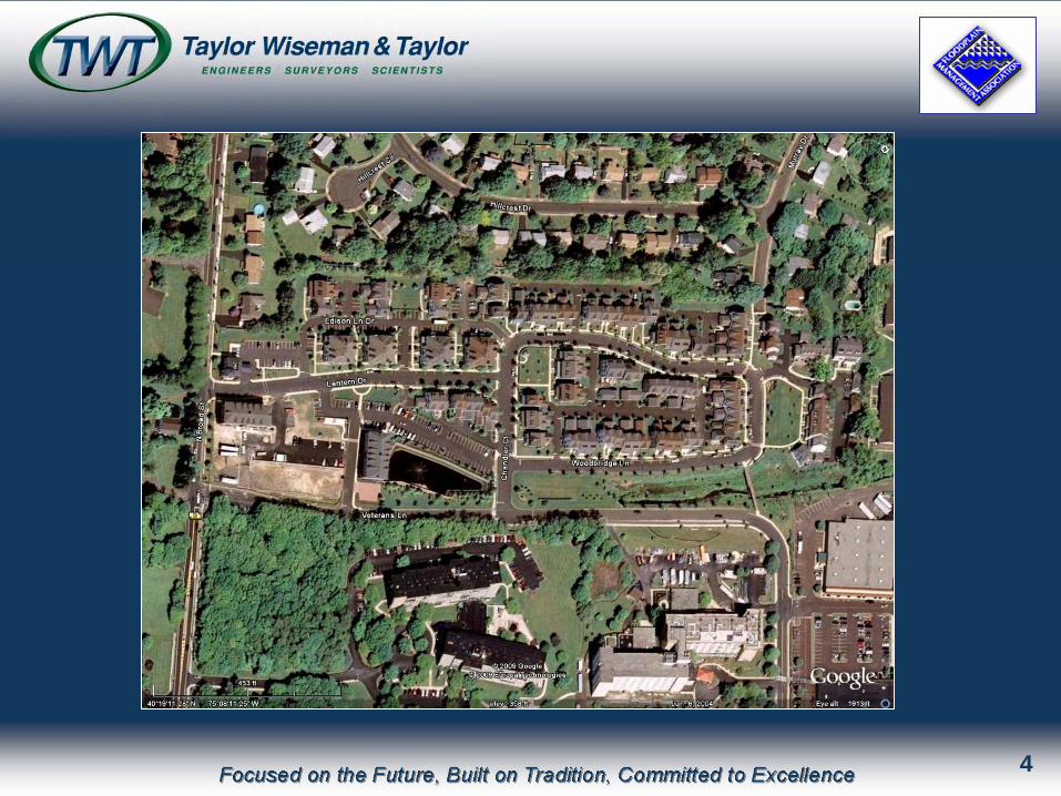
1. Development – Overview• 19.2 acre abandoned manufacturing site SFH to north,
apartments to east, shopping & multi-story age- restricted housing to south.
• GPH proposed 117 unit neo-traditional housing with 73,000 sf office/commercial
• One detention basin proposed within commercial section
• Site traversed by twin 24” gas mains.• Cooks Run flows east to west along southern property
line.
3
4
Cooks Run
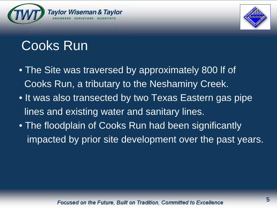
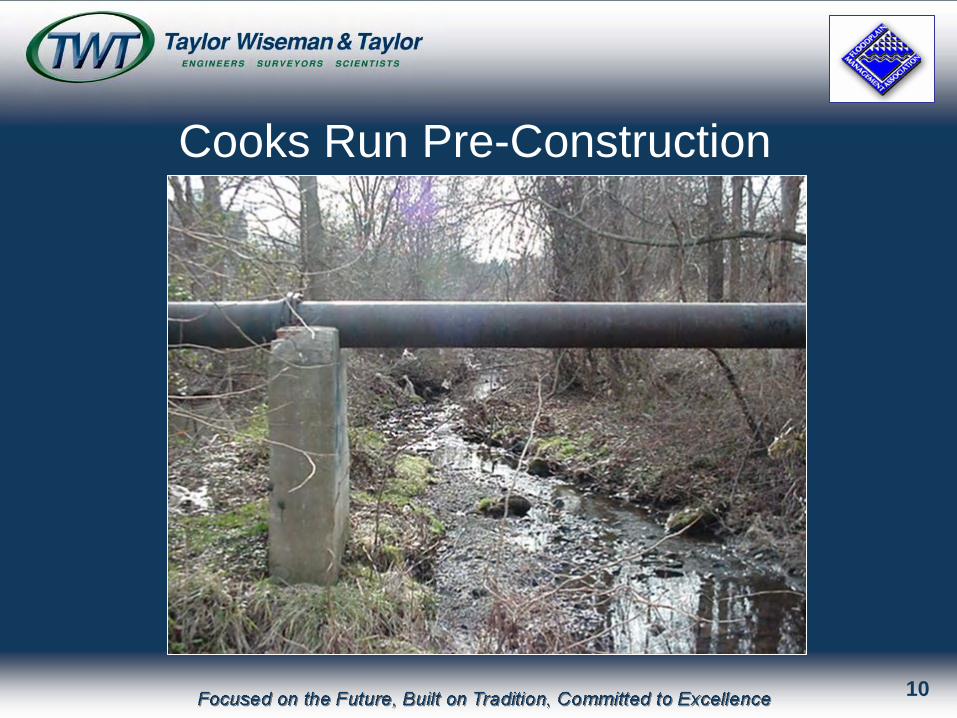
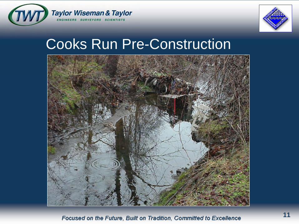
• The Site was traversed by approximately 800 lf of Cooks Run, a tributary to the Neshaminy Creek.
• It was also transected by two Texas Eastern gas pipelines and existing water and sanitary lines.
• The floodplain of Cooks Run had been significantly impacted by prior site development over the past years.
5
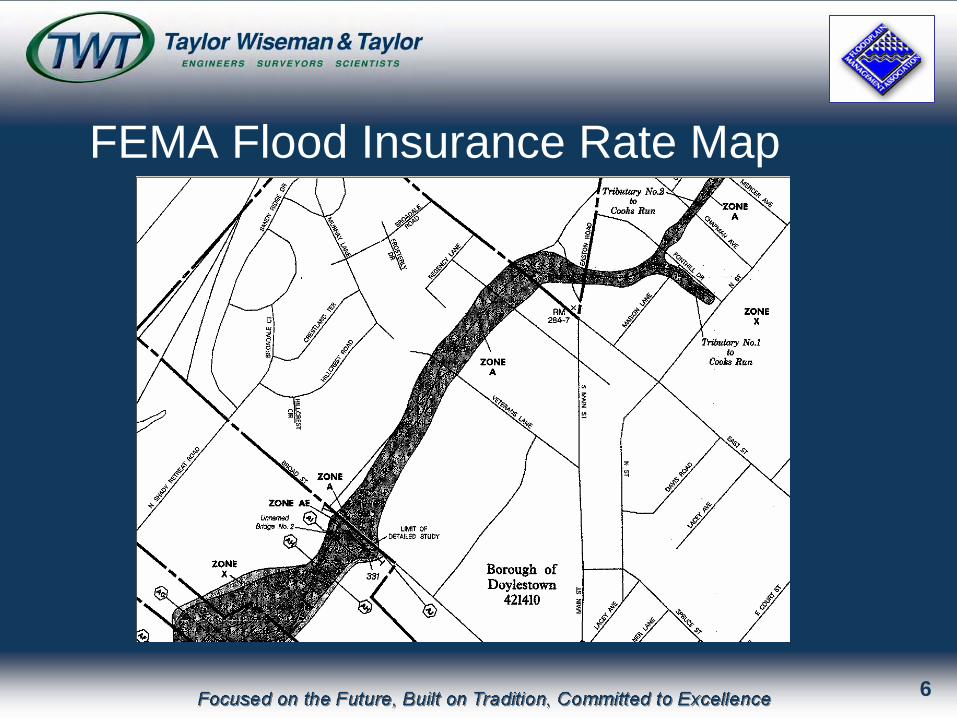
FEMA Flood Insurance Rate Map
6
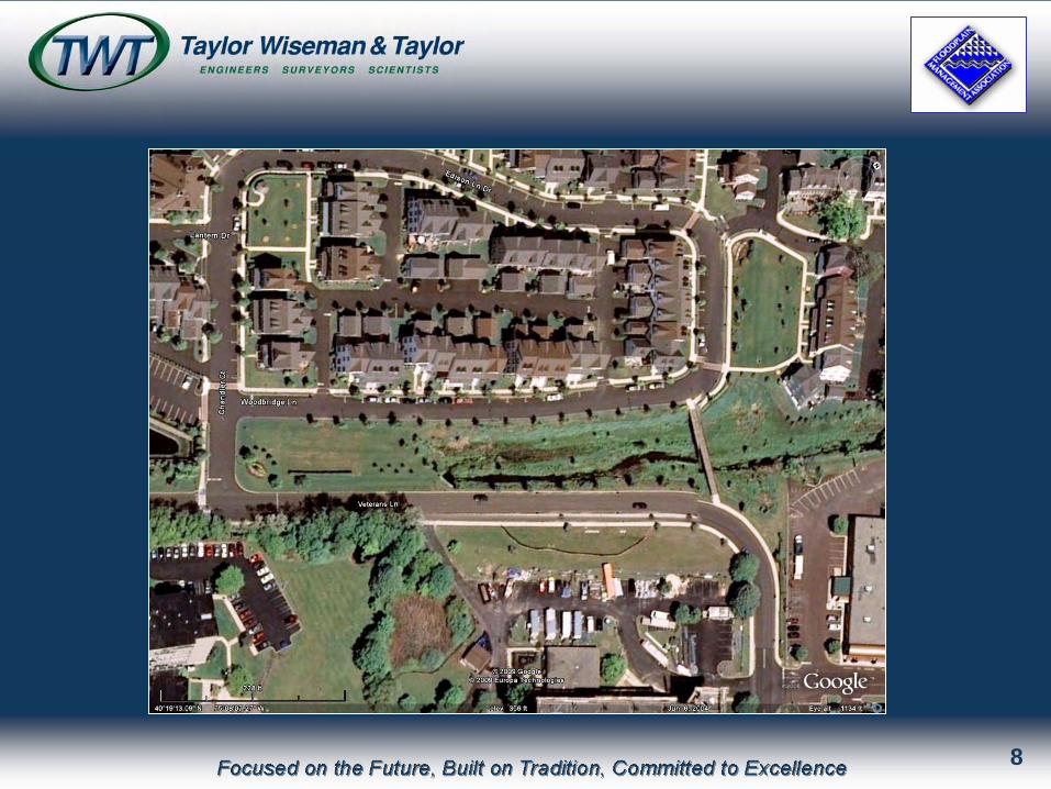
• Veterans Lane runs along the banks of Cooks Run with only 20 to 40 feet separating the streamand the roadway curb line.
• The roadway flooded frequently, as much as 1’during the 2-yr storm and over 3’ during the 100-yr storm.
Veterans Lane
7
8

Cooks Run Pre-Construction
9
Cooks Run Pre-Construction
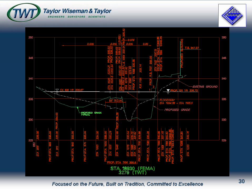
10
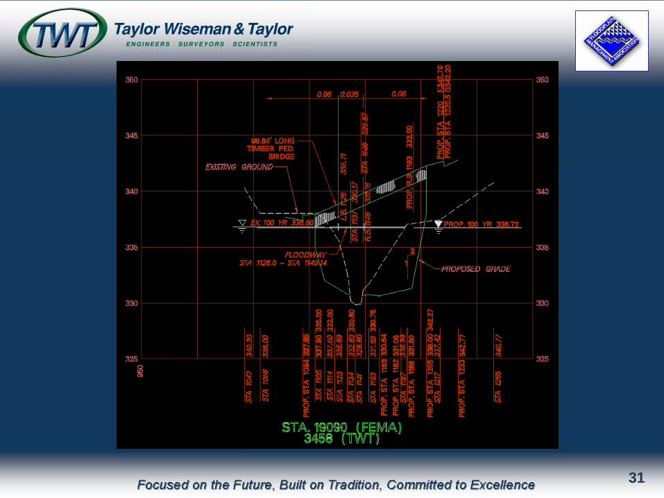
Cooks Run Pre-Construction
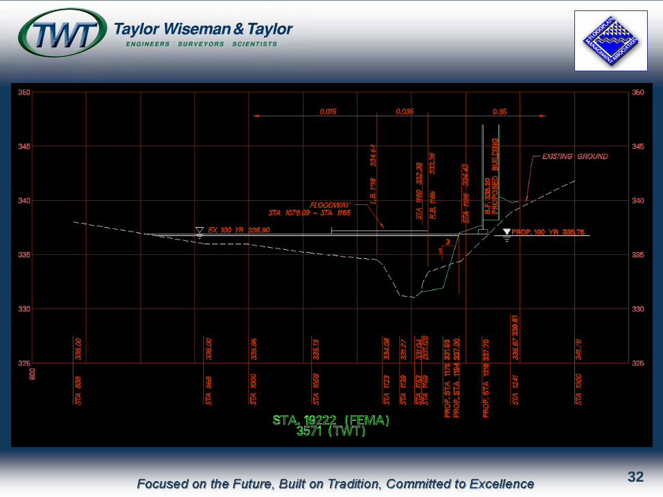
11
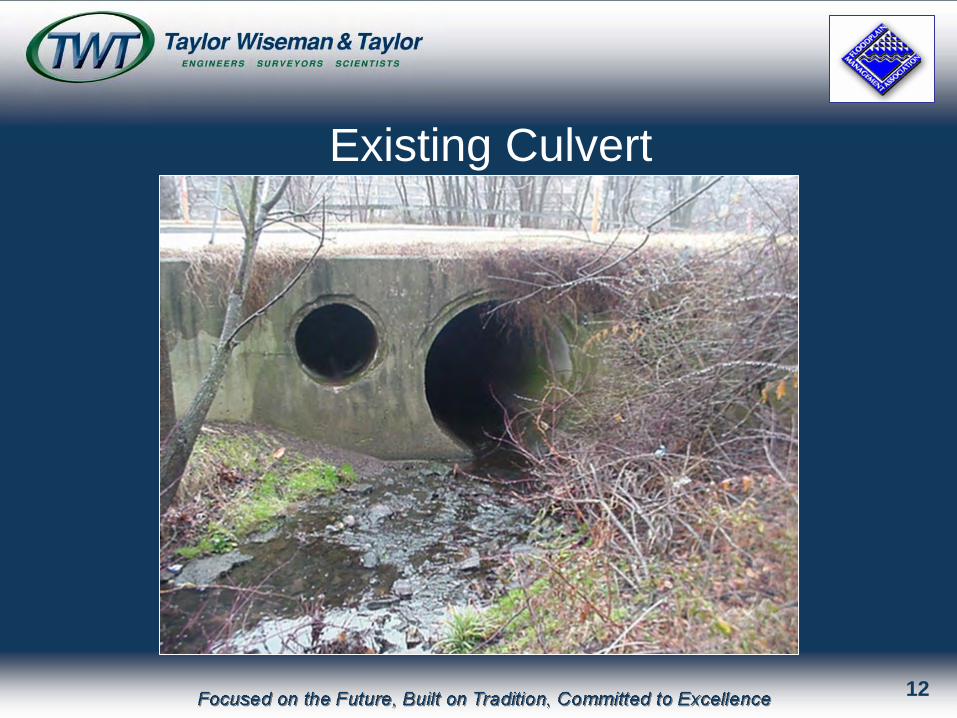
Existing Culvert
12
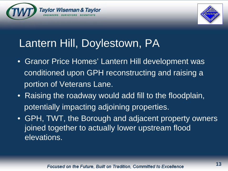
• Granor Price Homes’ Lantern Hill development wasconditioned upon GPH reconstructing and raising a portion of Veterans Lane.
• Raising the roadway would add fill to the floodplain, potentially impacting adjoining properties.
• GPH, TWT, the Borough and adjacent property owners joined together to actually lower upstream flood elevations.
Lantern Hill, Doylestown, PA
13
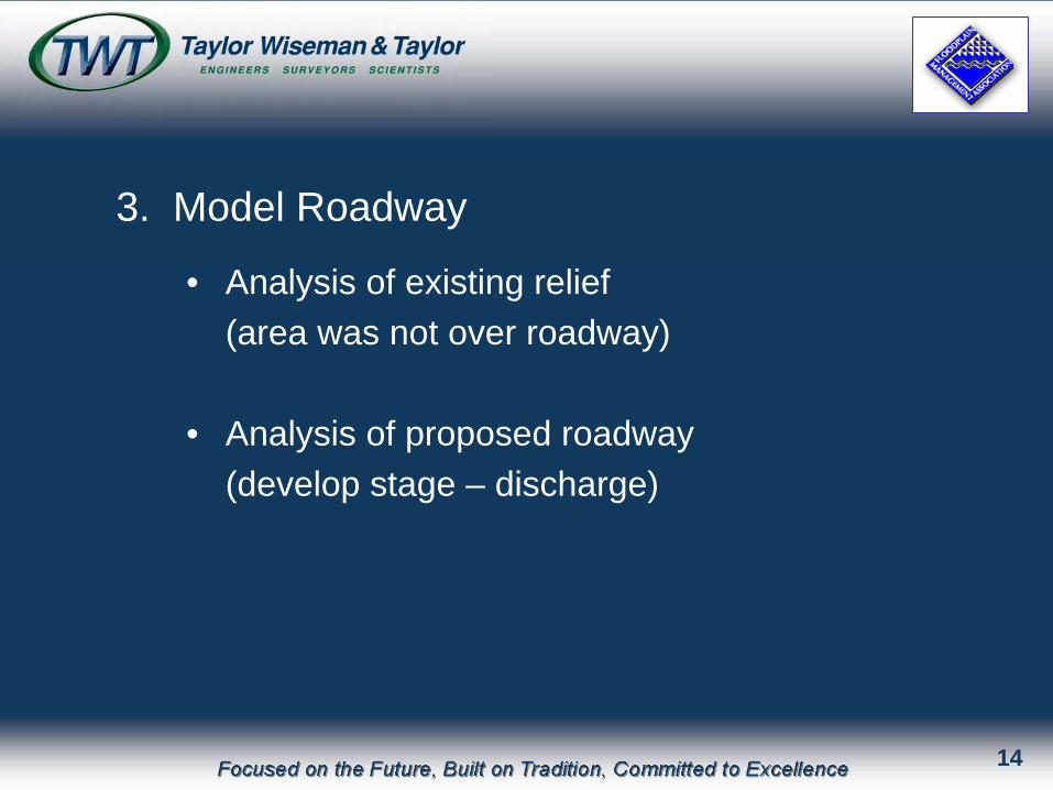
3. Model Roadway
• Analysis of existing relief(area was not over roadway)
• Analysis of proposed roadway(develop stage – discharge)
14
15
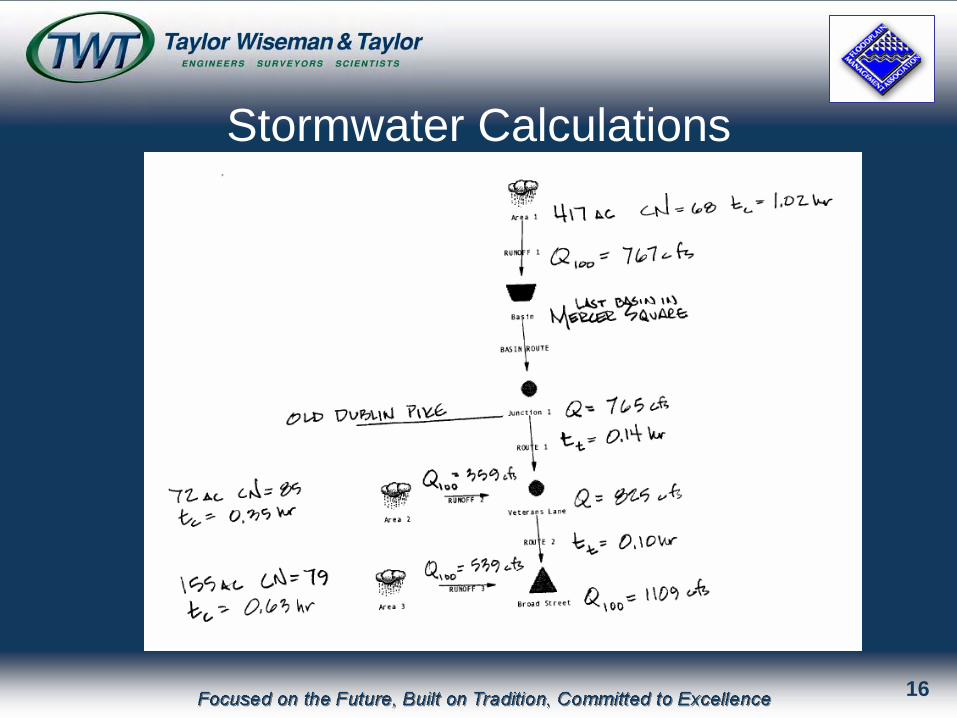
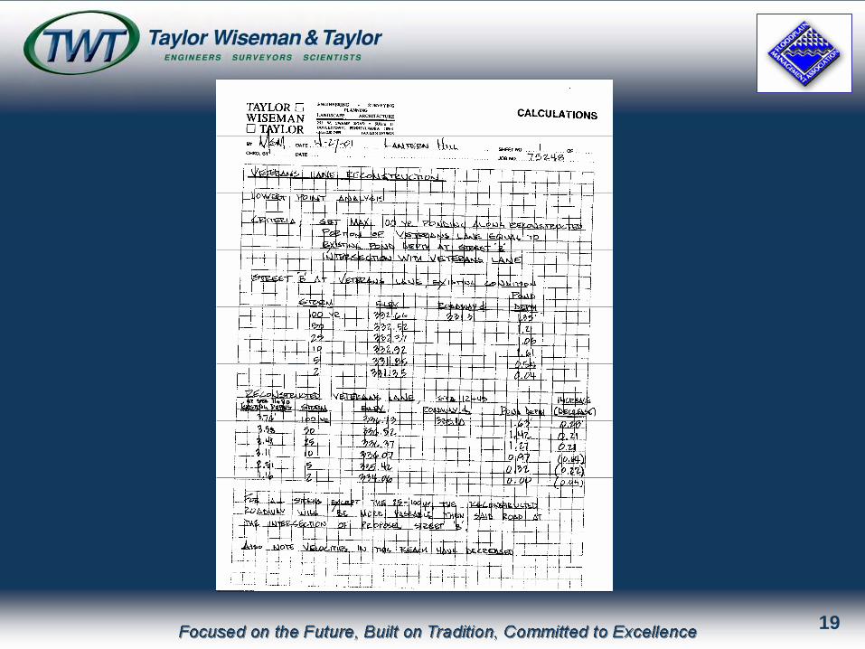
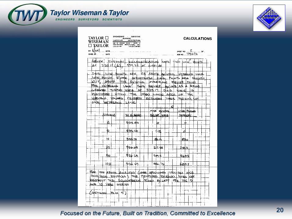
Stormwater Calculations
16

Veterans Lane Plan View
17
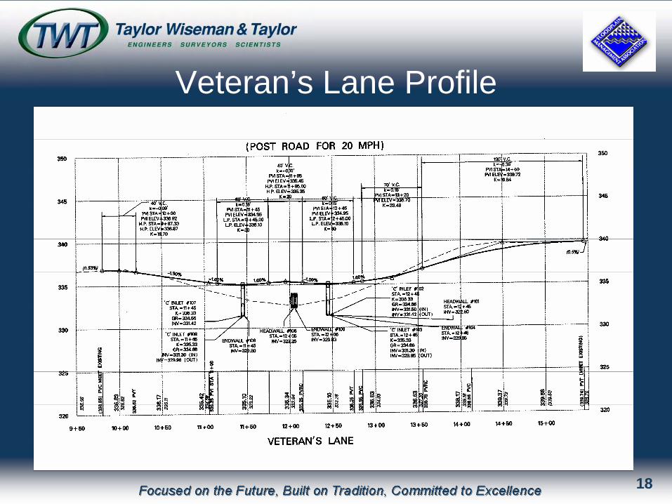
Veteran’s Lane Profile
18
19
20
21
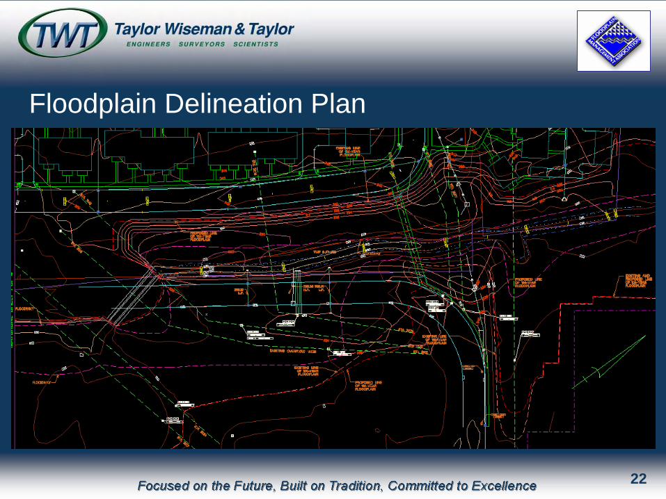
Floodplain Delineation Plan
22
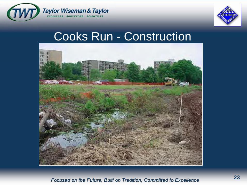
Cooks Run - Construction
23
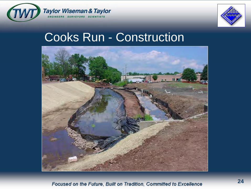
Cooks Run - Construction
24
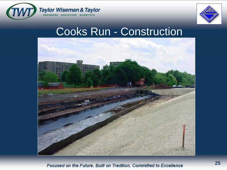
Cooks Run - Construction
25
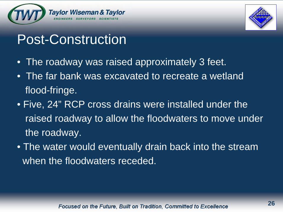
Post-Construction• The roadway was raised approximately 3 feet.• The far bank was excavated to recreate a wetland
flood-fringe.• Five, 24” RCP cross drains were installed under the
raised roadway to allow the floodwaters to move under the roadway.
• The water would eventually drain back into the streamwhen the floodwaters receded.
26
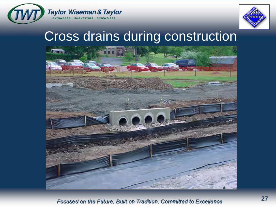
Cross drains during construction
27
28
29
30
31
32
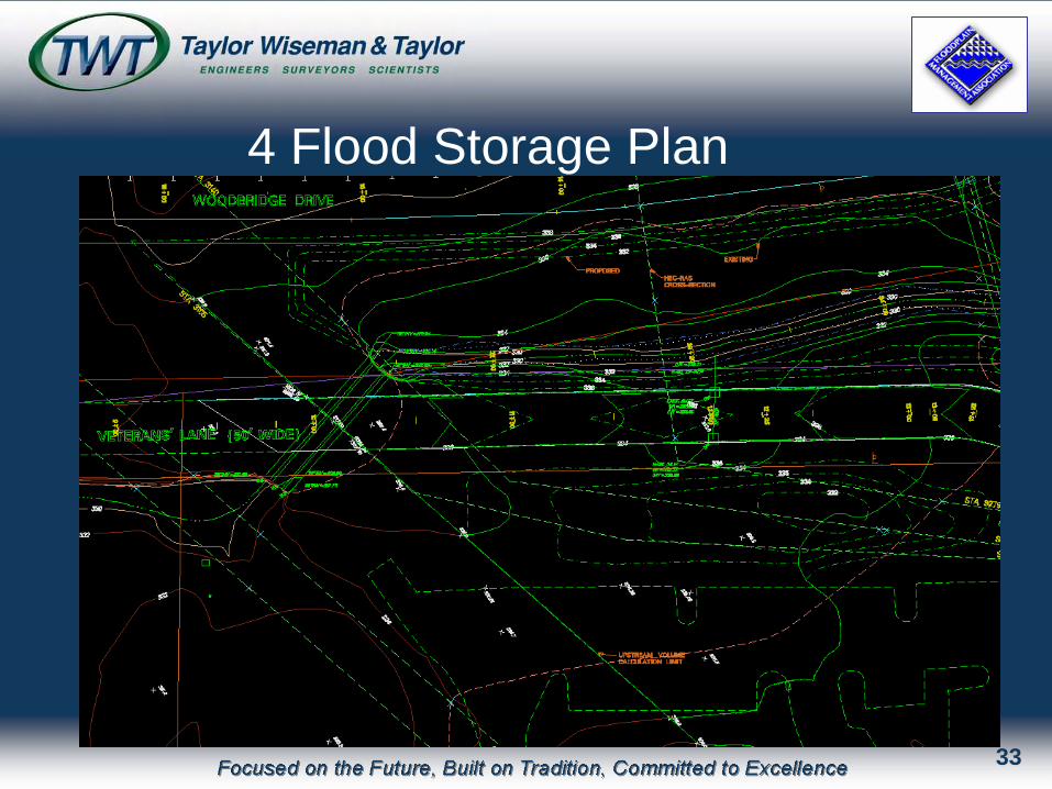
4 Flood Storage Plan
33
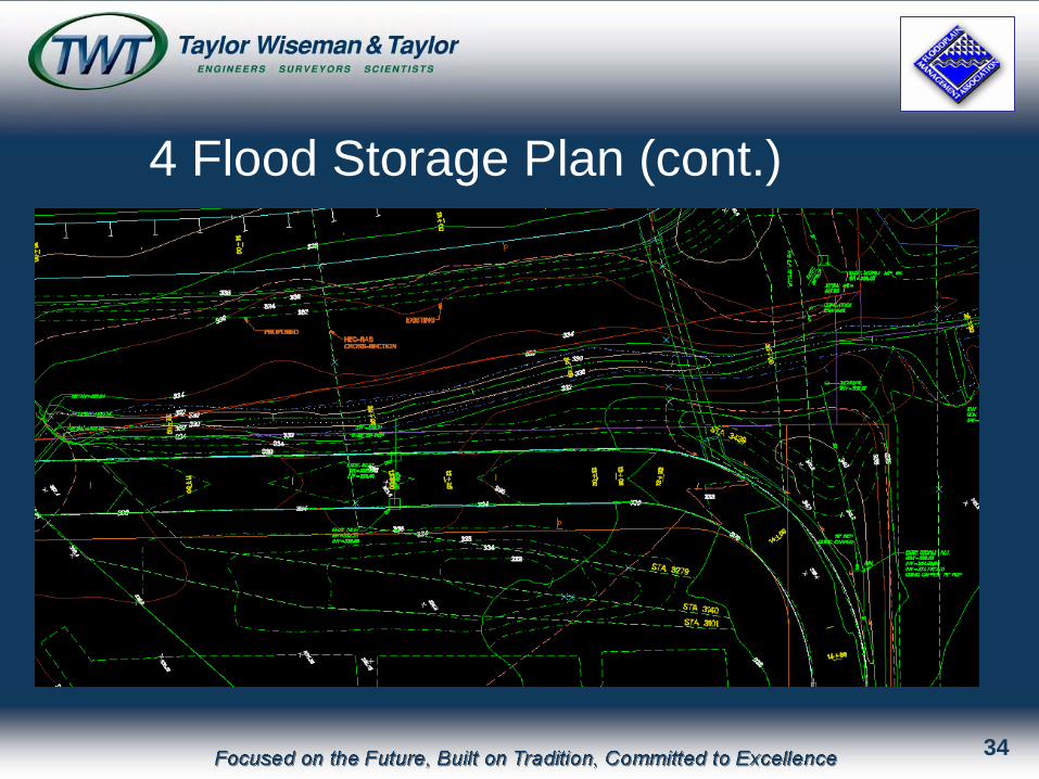
4 Flood Storage Plan (cont.)
34
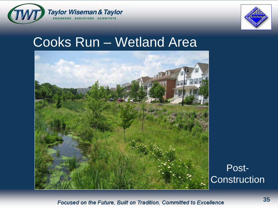
Cooks Run – Wetland Area
Post- Construction
35
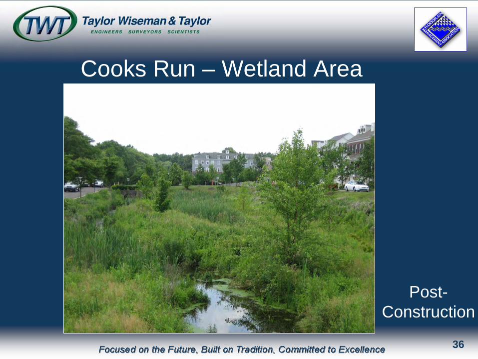
Cooks Run – Wetland Area
Post- Construction
36
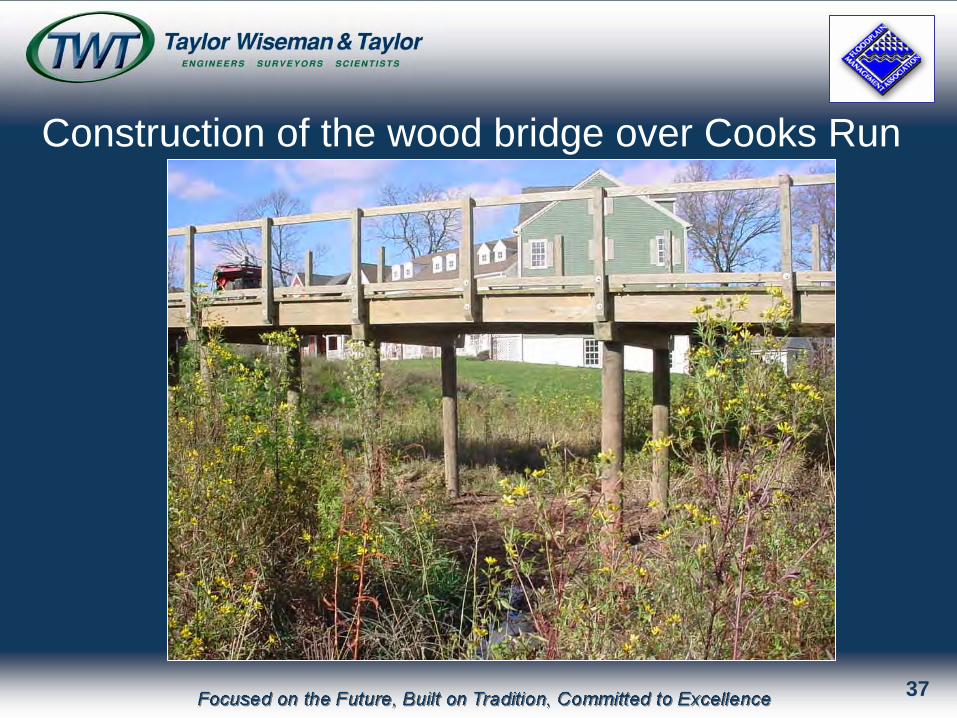
Construction of the wood bridge over Cooks Run
37
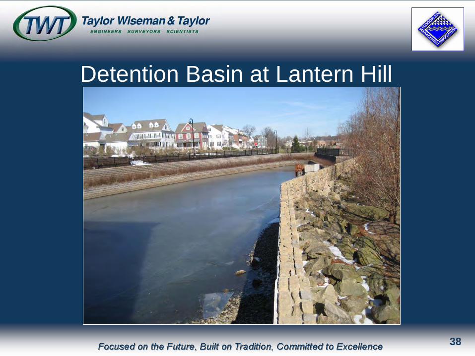
Detention Basin at Lantern Hill
38

Taylor Wiseman & TaylorTaylor Wiseman & Taylor ENGINEERS I SURVEYORS I SCIENTISTSENGINEERS I SURVEYORS I SCIENTISTS
Focused on the Future, Built on Tradition, Committed to Excellence
Since 1901