Embed Size (px)
Citation preview
David E. Pitts
Earth Observations Satellite SensorsAn Overview
Earth Observations Satellite SensorsAn Overview
Overview of Earth Observations Satellites
by David E. PittsUniversity of Houston Clear Lake
copies of this presentation are available from:http://sce.uhcl.edu/Pitts/
February 7, 2015copyright 2015
David E. Pitts
Earth Observations Satellite SensorsAn Overview
Earth Observations Satellite SensorsAn Overview
Updates on the Status of Earth Observations Satellites can be found on:
http://www.spaceflightnow.com/tracking/index.html
History of satellite launches & upcoming launches is at:http://www.itc.nl/research/products/sensordb/Launch_Schedule.aspx
David E. Pitts
Earth Observations Satellite SensorsAn Overview
Earth Observations Satellite SensorsAn Overview
LANDSAT (as of 1991, Landsat is a joint program of NASA, NOAA, and USGS)
Landsat 4 July 1982 - 1993Landsat 5 March 1984 -Failed Jan 6, 2013Landsat 6 Sept. 1993 (Failed)Landsat 7 (ETM+, no MSS) available until 2018
16 day repeat cycle Sun-synchronous orbit (705 km altitude, inclination 98.2 deg, period 99 minutes)MSS
Swath 185 km4 bands (green, red, 2 near IR)80 m resolution0 ≤ DN (Digital Number) ≤ 128
David E. Pitts
Earth Observations Satellite SensorsAn Overview
Earth Observations Satellite SensorsAn Overview
LANDSAT 8Launch - February 11, 2013Combined with Landsat 7 gives 8 day coverage.
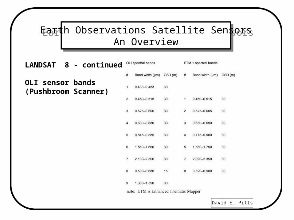
OLI - 7,000 pixel, 9 band pushbroom, 30 m resolution
Silicon Pin detectors, bands 1 - 4, & 8MerCdTe detectors, bands 6,7, & 9
13,000 pixel, pan pushbroom, 15 m resolution
ITRS - Thermal IR, 10.6-11.2 & 11.5 - 12.5 m, 100 m res.NET = 0.4 deg K. Gallium Arsenide detectors
http://tinyurl.com/awzxj6mhttp://ldcm.nasa.gov/
David E. Pitts
Earth Observations Satellite SensorsAn Overview
Earth Observations Satellite SensorsAn Overview
LANDSAT 8 - continued
OLI sensor bands(Pushbroom Scanner)
David E. Pitts
Earth Observations Satellite SensorsAn Overview
Earth Observations Satellite SensorsAn Overview
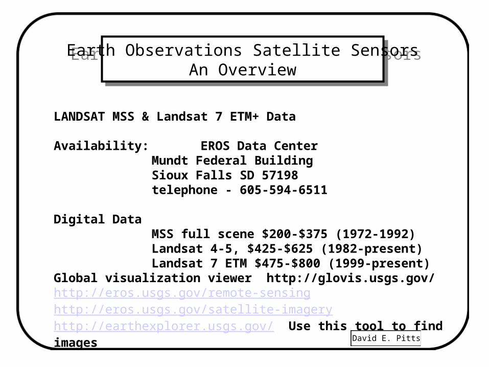
LANDSAT MSS & Landsat 7 ETM+ Data
Availability: EROS Data CenterMundt Federal BuildingSioux Falls SD 57198telephone - 605-594-6511
Digital DataMSS full scene $200-$375 (1972-1992)Landsat 4-5, $425-$625 (1982-present)Landsat 7 ETM $475-$800 (1999-present)
Global visualization viewer http://glovis.usgs.gov/http://eros.usgs.gov/remote-sensinghttp://eros.usgs.gov/satellite-imageryhttp://earthexplorer.usgs.gov/ Use this tool to find images
David E. Pitts
Earth Observations Satellite SensorsAn Overview
Earth Observations Satellite SensorsAn Overview
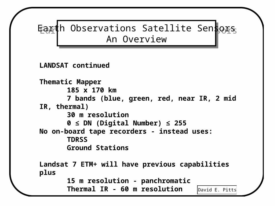
LANDSAT continued
Thematic Mapper185 x 170 km7 bands (blue, green, red, near IR, 2 mid IR, thermal)30 m resolution0 ≤ DN (Digital Number) ≤ 255
No on-board tape recorders - instead uses:TDRSSGround Stations
Landsat 7 ETM+ will have previous capabilities plus15 m resolution - panchromaticThermal IR - 60 m resolution
David E. Pitts
Earth Observations Satellite SensorsAn Overview
Earth Observations Satellite SensorsAn Overview
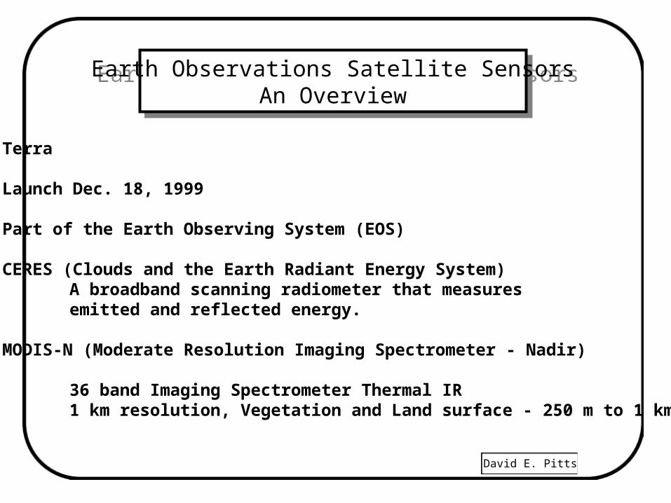
Terra
Launch Dec. 18, 1999
Part of the Earth Observing System (EOS)
CERES (Clouds and the Earth Radiant Energy System)A broadband scanning radiometer that measures emitted and reflected energy.
MODIS-N (Moderate Resolution Imaging Spectrometer - Nadir)
36 band Imaging Spectrometer Thermal IR 1 km resolution, Vegetation and Land surface - 250 m to 1 km.
David E. Pitts
Earth Observations Satellite SensorsAn Overview
Earth Observations Satellite SensorsAn Overview
Terra concluded
MISR (Multi-Angle Imaging Spectro-Radiometer)Push broom CCD 9 view angles, 4-band. Study bidirectional characteristics of the atmosphere, vegetation canopies and phytoplankton pigment concentrations.
ASTER (Advanced Spaceborne Thermal Emission and Reflection Radiometer)
Japanese 3-band (visible, mid IR, thermal IR) high resolution imager (15 to 90 m) along track stereo for topography.
MOPITT (Measurement of Pollution in the Troposphere)3 band scanner. Gas correlation radiometer to measure CO2 and CH4 vertical profiles in the atmosphere.http://modis.gsfc.nasa.gov/data/
http://edcimswww.cr.usgs.gov/pub/imswelcome/
David E. Pitts
Earth Observations Satellite SensorsAn Overview
Earth Observations Satellite SensorsAn Overview
Aquarius
Global sea surface salinity (seawater emissivity)
Launch - June 10, 2011
Altitude 600 km
Repeat cycle - 8 days, sun synchronous
Radiometer/Scatterometer operating at 1.4 GHz (L-band)
Partnership between NASA and Argentina.
David E. Pitts
Earth Observations Satellite SensorsAn Overview
Earth Observations Satellite SensorsAn Overview
Aqua
Launch: May 4, 2002
Altitude 705 km, 98.2 deg Inclination, period 99 minutes
Sun Synchronous, repeat 16 days.
MODIS: Moderate Resolution Imaging SpectroradiometerAMSR-E: Advanced Microwave Scanning Radiometer-JAXA
6.9, 10.7, 18.7, 23.8, 36.5, 89.0 Ghz AMSU-A: Advanced Microwave Sounding Unit-A CERES: Cloud's and the Earth's Radiant Energy System AIRS: Atmospheric Infrared SounderHSB: Humidity Sounder for Brazilhttp://earthobservatory.nasa.gov/IOTD/view.php?id=2421
David E. Pitts
Earth Observations Satellite SensorsAn Overview
Earth Observations Satellite SensorsAn Overview
Aura
Launch: July 15, 2004 Sun Synchronous
HIRDLS Measures Ozone, Water vapor, methane, and many chemicals - stopped working 2008
OMI measured Nitrous Oxide, Sulfur Dioxide, aerosols and other chemicals. Similar to TOMS
TES Fourier Transform spectrometer, Also on the Aqua satelliteCan measure many chemicals including those listed for HIRDLS and OMI.
MLS measures temperature and water vapor profiles and OH, HO2 and BRO.http://aura.gsfc.nasa.gov/scinst/index.html
David E. Pitts
Earth Observations Satellite SensorsAn Overview
Earth Observations Satellite SensorsAn Overview
EO-1 NASA SatelliteTRW built Hyperion hyperspectral imager - launched Nov 21, 2000
mission completed Nov 20, 200130 m resolution220 spectral bandsswath 7.5 km x 180 kmCCD Vis nIR, HgCdTe SWIR
Sales and Distribution by USGS (provided 2600 sets by 2005)http://eo1.usgs.gov/
Serving as knowledge base for several other efforts: ARTEMIS (USAF),CHRIS (ESA), HERO (Canada), SPECTRA (ESA), EnMAP (German)http://eo1.gsfc.nasa.gov/new/validationReport/Technology/TRW_EO1%20Papers_Presentations/02.pdf
David E. Pitts
Earth Observations Satellite SensorsAn Overview
Earth Observations Satellite SensorsAn Overview
• OCO Orbiting Carbon Observatory– The $278 million dollar satellite failed on launch - Feb 24, 2009
• OCO-2 Orbiting Carbon Observatory -2– Successful launch july 2, 2014– Measures Solar Induced Chlorophyll Fluorescence (SIF)– Measured Carbon Dioxide in the atmosphere– http://oco2.jpl.nasa.gov/
• NASA's Glory Earth Observation Satellite launch - Nov 22, 2010
– Monitoring aerosols in the atmosphere
– Monitoring solar irradiance
David E. Pitts
Earth Observations Satellite SensorsAn Overview
Earth Observations Satellite SensorsAn Overview
FranceSpot-4 launched March 23, 1998 (Spot-2 retired July 30, 2009)Spot-5 launched May 4, 2002
http://eoedu.belspo.be/en/satellites/spot.htmSun synchronous orbitrepeat cycle - each 26 daysCross track point of 60 km swath gives 2.5 day coverage3-bands (green, red, near IR) 20 m resolution1-band (combined) 10 m resolution 60 x 60 km scene
Full multispectral scene or full B & W $1,200.00Rectified multispectral scene $11,475.00Source - Spot Image Corp. Washington D. C.1897 Preston White DriveReston VA 22091-4368Telephone 703-620-2200 http://www.spot.comSpot-6 & 7 launch 2012-2014
David E. Pitts
Earth Observations Satellite SensorsAn Overview
Earth Observations Satellite SensorsAn Overview
IndiaBhaskara 1 launched June 7, 1979Bhaskara 2 launched Nov. 20, 1981
IRS-1A series began in March 1988 - not in useIRS P- 3 Launched March 21, 1996IRS-1D Launched Sept. 29, 1997
140,000 scenes of India obtainedGround stations at Bangalore and Hyderabad
4 bands - (G, R, nIR, SWIR) resolution - 23.5 m70.5 m resolution inSWIR band (IRS-1C,D is 5.8 m)Swath width - 145 km (has a wide FOV mode like AVHRR)Repeat cycle - 22 days, Sun SynchronousCross Track Stereo
David E. Pitts
Earth Observations Satellite SensorsAn Overview
Earth Observations Satellite SensorsAn Overview
• India
• launch Risat-2 on April 20, 2009
– TecSAR imaging radar built by Israel
– X-band, 550 km orbit, 41 deg inclination
– Military as well as civilian Earth Observations
• ResourceSat-1 (IRS-P6)– Sun synchronous orbit– Steerable 26 degrees across track– 3 bands Visible & near IR, 5.8 m, 23.5 m resolution– AWiFS has 56 meter resolution
• ResourceSat-3 launch 2011
David E. Pitts
Earth Observations Satellite SensorsAn Overview
Earth Observations Satellite SensorsAn Overview
India
Cartosat - 1 Stereo .8 m resolution B & W cameras. Launched May, 5, 2005 Sun-synchronous orbit
Cartosat - 2 Similar spacecraft, launched Jan. 10, 2007
Cartosat - 2a Military version with a SAR, launched Jan. 10, 2007
IMS - 1 Low cost remote sensing satellite to share with poor countries
IRS Satellite DataAvailability - http://www.geoeye.com/products/services/default.htm
David E. Pitts
Earth Observations Satellite SensorsAn Overview
Earth Observations Satellite SensorsAn Overview
India concluded
IRS Satellite Data
Media - CD ROM
Format - tiff, bsq
North American Coverage23 x 23 km scene $900.00
–5m IRS-1C/1D (B&W) (2653 sq km, about 51 x 51 km)
–$7.00 /sqkm $18,571.00 USD plus shipping ($35)
–29.221302, -95.271061, 29.675783, -94.7283
David E. Pitts
Earth Observations Satellite SensorsAn Overview
Earth Observations Satellite SensorsAn Overview
• http://www.geoeye.com/products/default.htm
• http://www.geoeye.com/whitepapers_pdfs/GeoEye_IKONOS_Product_Guide_v17.pdf
• http://www.satimagingcorp.com/satellite-sensors/ikonos.html
• High Resolution (launch Sept. 24, 1999)
– 0.8 m resolution IKONOS, (Panchromatic) $7.00 /sqkm
• 1 m IKONOS (B&W / 4 band, 3.2 meter) (2653 sq km)
• 29.221302, -95.271061, 29.675783, -94.7283
• $18,571.00 USD plus shipping ($35)
• http://www.satimagingcorp.com/satellite-sensors/geoeye-1.html• Geoeye-1 spacecraft launch was launched Sept 6, 2008.
– 0.41 m resolution panchromatic, they combined the 1.64m color and the panchromatic to give 0.41 m color imagery.
David E. Pitts
Earth Observations Satellite SensorsAn Overview
Earth Observations Satellite SensorsAn Overview
• Geoeye-2 spacecraft launch expected 2013
David E. Pitts
Earth Observations Satellite SensorsAn Overview
Earth Observations Satellite SensorsAn Overview
• Orbview-3– 4m Multispectral (8 bands) $7/sq km, (2653 sq km)
– $18571.00 USD plus shipping ($35)– 29.221302, -95.271061, 29.675783, -94.7283
• Orbview-3– 1 m Panchromatic $5/sq km, (2653 sq km)
– $13265.00 USD plus shipping ($35) – 29.221302, -95.271061, 29.675783, -94.7283
David E. Pitts
Earth Observations Satellite SensorsAn Overview
Earth Observations Satellite SensorsAn Overview
Canada
RadarsatC-band SAR - November 4, 1995100 km swaths, 9 m resolution, HH polarization,16 day repeat cycle
Radarsat - 2 launched Dec 14, 2007 from Baikonur
Availability - EOSAT (Earth Observations Satellite Co.)4300 Forbes BoulevardLanham, Maryland 20706 USA800 - 344- 9933 ext 537301-552-3762
Cost $1,250.00 to $2120.00 U. S. per scene on CDROMhttp://www.spaceimaging.com/products/radarsat/index.htmhttp://radarsat.space.gc.ca/
David E. Pitts
Earth Observations Satellite SensorsAn Overview
Earth Observations Satellite SensorsAn Overview
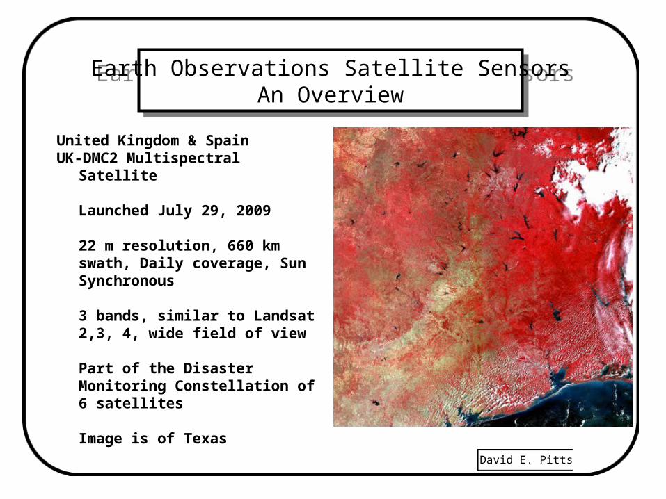
United Kingdom & SpainUK-DMC2 Multispectral Satellite
Launched July 29, 2009
22 m resolution, 660 km swath, Daily coverage, Sun Synchronous
3 bands, similar to Landsat 2,3, 4, wide field of view
Part of the Disaster Monitoring Constellation of 6 satellites
Image is of Texas
David E. Pitts
Earth Observations Satellite SensorsAn Overview
Earth Observations Satellite SensorsAn Overview
Japanese Remote Sensing Satellites
MOS - Marine Oceanographic SatelliteMOS - 1 Launched Feb 1987MOS - 1B Launch scheduled 199017 day repeat Sun Synchronous SatelliteMSS copyDirect Downlink
JERS - 1Launched Feb. 1992, Failed Oct. 12, 1998TM copy (without the thermal band)L-band SAR (HH polarization) - 75 km swath, 18 m resolutionDirect Downlink, repeat cycle - 44 days
David E. Pitts
Earth Observations Satellite SensorsAn Overview
Earth Observations Satellite SensorsAn Overview
Japanese Remote Sensing Satellites concludedADEOS-1
Launched Aug. 17, 1996 into 98.6 deg orbit, failed June 30, 1997Orbital period 101.2 min, repeat cycle 41 days AVNIR - Advanced visible & NIR Radiometer 4 bands 16 meter resolution - multispectral 8 meter resolution - panchromatic, Cross track stereo
OCTS - Ocean Color and Temp ScannerADEOS-2 Has OCTS, AVNIR & several gas spectrometers Launch - Dec. 14, 2002, Solar panel failed October 26, 2003Data Available thru JAXA
GOSAT (Greenhouse Gases Observing Satellite) – launch 2009
David E. Pitts
Earth Observations Satellite SensorsAn Overview
Earth Observations Satellite SensorsAn Overview
• ALOS JAXA - Advanced Land Observing Satellite
2 systems (Atmosphere and Marine, Land observations)
• Launch Jan 24, 2006, Sunsynchronous (98.16 deg), repeat cycle 46 days
• PALSAR (follow on to JERS-1) L-band, 250 to 350 km swath, HH and VV and Cross Polarization
• AVNIR-2 nadir view, 10 m resolution, 4 band (RGB & nIR), 70 km swath, pointing 44 degrees left or right of nadir
• PRISM points fore and aft to give stereo 2.5 m resolution
70 km swath, 35 km swath stereo Panchromatic 0.52 - .077 m
David E. Pitts
Earth Observations Satellite SensorsAn Overview
Earth Observations Satellite SensorsAn Overview
RussiaMIR
KFA System - 5 m resolution film based system$1600.00 per sceneRecoverable film packages each 4 weeksOperational 1986 - 2001
Spin - 2Dates of Operation 1980-1998Panchromatic KVR-1000, 40 x 160 km scene, 2 m res.Panchromatic TK-350, 200 x 300 km scene, 10 m res.
Browse Site - http://www.TerraServer.comFormat tiff or hard copy printsCost 10 m res. - $1.00 / km sq
2 m res. - $2.59 / km sq, min order 100 sq. km
David E. Pitts
Earth Observations Satellite SensorsAn Overview
Earth Observations Satellite SensorsAn Overview
Russia
Resurs-01-4 Launched July 10, 1998Multispectral Earth Resources Image Transmission Spacecraft
(similar to Landsat)Launched Nov. 4, 1994 into a 660 km polar sunsynchronous
orbit at 98 deg incl.,repeat cycle 4 days at the equator.Resolution - 170 m, fov = 600 km, 4 bands,intermediate resolution between Landsat and AVHRR
Resurs FM-2 Launched Sept. 28, 1999
Resurs DK-1Launched June 15, 2006Resolution - 3.3 ft grey scale imagery, 7 ft multispectral
David E. Pitts
Earth Observations Satellite SensorsAn Overview
Earth Observations Satellite SensorsAn Overview
• Russia
• KANOPUS– Launch - Dec 2009– 2.1 m panchromatic resolution– 10.5 m multispectral resolution
• Surrey Satellite Technology (SSTL) in the UK is providing avionics and software plus design support.
David E. Pitts
Earth Observations Satellite SensorsAn Overview
Earth Observations Satellite SensorsAn Overview
European Space Agency
SMOS Soil Moisture & Ocean Salinity - launch Nov 2, 2009
ERS-1 Launch May 1991ERS-2 Launch 1995
C-band SAR VV polarization, 25 m resolution
3.1 x 3.1 mile imagettes35 day repeat cycle80 km swath
4 band Thermal IR instrument3 Angle Scatterometer for sea surface roughness
Cost $1,250.00 to $2120.00 U. S. per scene on CDROMSource - EOSAT http://www.spaceimaging.com/products/imagery.htm
David E. Pitts
Earth Observations Satellite SensorsAn Overview
Earth Observations Satellite SensorsAn Overview
European Space Agency
ENVISAT - Launched March 1, 2002Lost communications April 8, 2012
ASAR - C band Radar like ERS-1 & 2, swath 400 km
GOMOS - Stellar Occultation - Atmosphere Constituents0.47 - 0.52 µm and 0.926 - 0.952 µm
MIPAS - Limb emission spectra using Interferometer(4.15 - 14.6 µ m)
MERIS - Vis - nIR coastal zone imager, 300 m res,1150 km swath, 15 bands
http://envisat.estec.esa.nl/
David E. Pitts
Earth Observations Satellite SensorsAn Overview
Earth Observations Satellite SensorsAn Overview
ENVISAT (continued)
MWR - Cloud water content for correction of Radar altimeter (uses 23.8 and 36.5 Ghz)
RA-2 - Radar Altimeter similar to Topex- PoseidonUses S and K bands
AATSR - Sea Surface Temp and Vegetation mapperScans along track only,0.67, 0.87, 1.6, 3.7. 10.7, and 12.0 µ m
SCIAMACHY - Scanning Imaging Absorption Spectrometerfor Atmospheric CartographyMaps gasses such as Ozone0.24 - 2.5 micrometers
David E. Pitts
Earth Observations Satellite SensorsAn Overview
Earth Observations Satellite SensorsAn Overview
European Space Agency (continued)Copernicus (previously GMES)
First 3 of these are called Sentinels
Sentinel 1 - C-band SAR 5 m resolution - launch 2013Sun synchronous, repeat cycle 12 days
cycle length 175 dayslocal solar time 1600
Dual PolarizationSentinel 2 - Multispectral - launch 2014
Sun synchronous, repeat cycle 10 dayslocal solar time 1030
Sentinel 3 - Ocean color, passive microwave - launch 2015Sun synchronous, repeat cycle 27 dayslocal solar time 1000
David E. Pitts
Earth Observations Satellite SensorsAn Overview
Earth Observations Satellite SensorsAn Overview
• European Space Agency (continued)
• German Space Agency (DLR)
• Terra SAR-X – 1 - 16 m resolution Synthetic Aperture Radar– X - band Radar– Launched June 2006
• Tandem-X (almost identical satellite to Terra SAR-X)– Formed a radar interferometer system (launched in June 2010)
• EnMap - pushbroom hyperspectral scanner– 30 m resolution– 0.42 to 2.4 m (184 bands, 155 bands visible, 94 band nIR)– Launch 2015– Sun synchronous polar orbit, revisit cycle 4 days– 30 degrees off nadir, 30 km swath
David E. Pitts
Earth Observations Satellite SensorsAn Overview
Earth Observations Satellite SensorsAn Overview
European Space Agency (concluded)• Sentinel 3 launch expected 2014
• Earthcare Satellite– Cloud and aerosol mission– Atmospheric Lidar– Broad band radiometer– Mutispectral Imager– JAXA Cloud profiling radar– Launch 2013
• Cryosat -2 launched Apr 8, 2010– SAR/Interferometric Radar Altimeter (Siral) detects ice thickness in
the arctic and antarctic
David E. Pitts
Earth Observations Satellite SensorsAn Overview
Earth Observations Satellite SensorsAn Overview
• Rapid Eye• German 5 satellite constellation
– Launch August 28, 2008 from Baikonur
– 6.5 meter resolution, 77 km swath, 5.5 day repeat
– 5 bands, sun synchronous
Blue (440-510 nm)
Green (520-590 nm)
Red (630-685 nm)
Red Edge (690-730 nm)
Near Infrared (760-850 nm)
http://tinyurl.com/8kq9lo9
Minimum order 2,500 euros
David E. Pitts
Earth Observations Satellite SensorsAn Overview
Earth Observations Satellite SensorsAn Overview
• Italy• COSMO-Sky-Med
– Dual Use (Defense and Civil)– X-band– Radar 1 & 3 meter resolution– Launch Vandenberg AFB on Delta– Launches
• June 7, 2007, Dec 8 2007, Oct 24 2008, & Oct 29, 2010
– http://www.telespazio.it/cosmo.html
• Franco-Italian• Pleiades
– .7 m resolution Earth Observation Satellite
– 20 km swath, 26 day repeat cycle, launch Soyuz, French Guiana
– Visible and near IR
– Launches: HR1A Dec 17,2011, HR 1B Dec 2, 2012
David E. Pitts
Earth Observations Satellite SensorsAn Overview
Earth Observations Satellite SensorsAn Overview
• Spain
• Ingenio (SEOSAT)– 2.5 m panchromatic resolution– 10 meter Multispectral– 2012 launch– Radar imager to follow
• U. K.– 2.5 m resolution– Launched Oct 27, 2005– Build under the British National Space Centre Mosaic Program– Surrey Satellite Technology (SSTL), QinetIQ, Rutherford Appleton
Laboratory
David E. Pitts
Earth Observations Satellite SensorsAn Overview
Earth Observations Satellite SensorsAn Overview
• Turkey
• GÖKTÜRK-2 Earth Observations Satellite– Launch by China on Dec 18, 2012, 98 deg inclination orbit, 700 km– Pushbroom imager, 20 km swath– Repeat cycle: 2 to 5 days– Resolution: 2.5 m panchromatic, 10 m, 5 bands: B,G,R,Near IR, SWIR
• Nigeria Sat-2– Resolution: 32m, 300 km swath, multispectral 5m, 20 km swath– Launched Aug 17, 2011, built by British SSTL
• Nigeria Sat-X– Resolution: 22m, 600 km swath– Launched Aug 17, 2011, built by British SSTL
David E. Pitts
Earth Observations Satellite SensorsAn Overview
Earth Observations Satellite SensorsAn Overview
Orbital Imaging Corp.
OrbView - 1 launched April 3, 1995OrbView - 2 launched Aug. 1, 1997
Panchromatic, 1 m resolutionMultispectral, 4 m resolutionPointable ± 45 degrees, Sun Synchronousrepeat coverage on the ground of <3 days.
OrbView - 3 launched June 26, 2003Orb View - 4 launch Sept. 2001 - launch failed to reach orbit
Hyperspectral 280 channels, swath 5 km, 4m resolution
http://www.geoeye.com/products/default.htmhttp://www.itc.nl/research/products/sensordb/Launch_Schedule.aspx
David E. Pitts
Earth Observations Satellite SensorsAn Overview
Earth Observations Satellite SensorsAn Overview
Earthwatch Inc. (merged with Ball Aerospace in 1995)
Early Bird launch - Dec. 24, 1997 (failed after 4 days)
Quick Bird - 1 launch - launch failure 4 bandsB, G, R, NIR,66 deg orbit, revisit 1-5 daysresolution - 4 m multispectral, 1 m panchromatic704 km swath, scene 22 x 22 kmRussian launch vehicle
Quickbird - 2 launched - Oct. 18, 2001
http://www.digitalglobe.com/
David E. Pitts
Earth Observations Satellite SensorsAn Overview
Earth Observations Satellite SensorsAn Overview
ImageSat InternationalJoint venture by Israel Aircraft Industries & Core Software Technologyreceiving station on Cyprus
EROS-A1 SatelliteLaunch - Dec. 5, 2000Pan 0.5 - 0.9 µ m - 1.8 m resolution pointable sensor15 day repeat10 bit imagery, swath = 14 km (9666 pixels)
http://www.csir.co.za/plsql/ptl0002/PTL0002_PGE005_DIVISIONS?DIVISION_NO=7209624
EROS-B1 SatelliteLaunch - pending15 day repeat ( 3 days with pointing)1 m resolution - 20 km swath (20,000 pixels)
David E. Pitts
Earth Observations Satellite SensorsAn Overview
Earth Observations Satellite SensorsAn Overview
China-Brazil
Haiyung 1 - launched May 15, 20029 Bands5 bands - 20 m res., 3 bands 80 m res., 1 band - 160 m res.Cross Track Stereo900 km wide swath26 day repeat Sun Synchronous orbit
Tsinghua - 1 launched June 28, 2000
CBERS-1 - (4 band 3 m) launched Oct 14, 1999, deactivated 2003CBERS-2 - (4 band 3 m) launch 2003, deactivated 2007CBERS 2-B launch Sept 19, 2007, 20 m resolution, 113 km swath, 26 day repeat, 4 bandsCBERS-3 – launch failedCBERS-4 – early December 2014 launch
David E. Pitts
Earth Observations Satellite SensorsAn Overview
Earth Observations Satellite SensorsAn Overview
China
Feng Yun Meteorological satellites
Some are geosynchronous
Some are in low Earth Orbit (LEO) – Sun Synchronous
See: http://en.wikipedia.org/wiki/Fengyun
David E. Pitts
Earth Observations Satellite SensorsAn Overview
Earth Observations Satellite SensorsAn Overview
KH-11National Imagery and Mapping Agency-Previous known as the National Reconnaissance OfficeResolution < 0.3 mnot available to the public
Skybox ImagingSkysat-1 launch 2013, 450 km orbit, Sun SynchronousSkysat-2 launch March 27, 2014, identical to Skysat-1
http://space.skyrocket.de/doc_sdat/skysat-1.htm
David E. Pitts
Earth Observations Satellite SensorsAn Overview
Earth Observations Satellite SensorsAn Overview
ArgentinaSAC-C Launched Nov. 21, 2000Comision Nacional de Actividades Especiales (CONAE)
SAC-D launch now expected April 2011 (on a Delta)http://www.esr.org/aquarius_sat/aquarius_main.html
Aquarius by NASAROSA by ItalySODAD by CNES (France)CONAE instruments
Microwave Radiometer (MWR)Infra-red Camera (NIRST)High Sensitivity Camera (HSC)Data Collection System (DCS)Technological Demonstration Package (TDP)
Argentina may have its own launch vehicle by 2013http://en.mercopress.com/2010/08/16/argentina-developing-satellite-launcher-ready-by-2013-in-puerto-belgarno
David E. Pitts
Earth Observations Satellite SensorsAn Overview
Earth Observations Satellite SensorsAn Overview
Israel
Ofek-5 Remote Sensing Satellite launched 2002
Ofek-6 failed due to 3rd stage malfunction Sept. 7, 2004
David E. Pitts
Earth Observations Satellite SensorsAn Overview
Earth Observations Satellite SensorsAn Overview
Korea
Kompsat-2 - Launched July 28, 20061 meter resolution, operational July 2007
Kompsat-3 - Launch May 17, 2012 by JAXA resolution: 0.7 m Pan, 2.8 m B,G,R, near IR
Kompsat-5 - Launch Aug 13, 2013 x-band radar 1 m resolution, similar to Germany’s SAR-x900 km wide swath26 day repeat Sun Synchronous orbit
Taiwan
Formosat-2 Launch May 19, 20042 meter resolution
David E. Pitts
Earth Observations Satellite SensorsAn Overview
Earth Observations Satellite SensorsAn Overview
• Google Earth– Probably uses Geoeye-1 images (color at .4 m)
– $400 image processing software allows detail analysis
David E. Pitts
Earth Observations Satellite SensorsAn Overview
Earth Observations Satellite SensorsAn Overview
Topex/Poseidon (Joint USA/French)
Launched Aug. 10, 1992 into a 1,336 km orbit at 66 deg. inc.Repeat coverage - each 10 days.
Jason - launched Dec. 7, 2001, similar to Topex/PoseidonJason measures ocean height with 4.2 cm accuracy for Monitoring El Nino and Ocean eddies.
Jason - 2 launch June 15, 2008.
LRA: Laser retroreflector array Poseidon-2: A solid state radar altimeter JMR: Microwave radiometer
http://topex-www.jpl.nasa.gov/mission/jason-1.html
David E. Pitts
Earth Observations Satellite SensorsAn Overview
Earth Observations Satellite SensorsAn Overview
TOMS-1launched 1978 on Nimbus 7 to measure stratospheric ozonefailed May 1993
TOMS-2launched on Russian Meteor 3 on Aug 1991Chopper motor failed Dec. 23, 1994
TOMS-4 (on ADEOS)Launched Aug. 17, 1996 into 98.6 deg orbit, failed June 30, 1997
Earth Probe Launched July 2, 1996 - currently in operation
David E. Pitts
Earth Observations Satellite SensorsAn Overview
Earth Observations Satellite SensorsAn Overview
TOMS Concluded
Solar UV Backscatter in 1 nm bands at 309, 313, 318, 322, 331, and 360 nmScans 51 degrees either side of nadir (3000 km wide swath)Resolution 50 km, 11:30 am local time sun synchronous, Altitude 955 kmSulfur Dioxide from volcanic eruptions is detectable in these bands.'Coverage goes back to Nimbus 7 in October 1978.
QuickTOMS - launch in Sept. 2001 failed to reach orbit.
TOMS-5 Launch on Russian Meteor 3 - 2001
http://jwocky.gsfc.nasa.gov/aerosols/aerosols_v8.html
David E. Pitts
Earth Observations Satellite SensorsAn Overview
Earth Observations Satellite SensorsAn Overview
SEAWIFS
Designed as a follow up to the highly successful Coast Zone Color Scanner (CZCS).Launched - August 1, 1997
2-day global coverage via GAC (Global Area Coverage) format
LAC (Local Area Coverage) format requests are possible
Resolution 1.1 km LAC and 4.4 km GAC at nadir
For data availability contacthttp://seawifs.gsfc.nasa.gov/scripts/SEAWIFS.html
David E. Pitts
Earth Observations Satellite SensorsAn Overview
Earth Observations Satellite SensorsAn Overview
SEAWIFS concluded
Eight Bands402-422nm ctr 412 433-453, ctr 443 480-500, ctr 490500-520, ctr 510 545-565, ctr 555 660-680, ctr 670745-785 ctr 765 845-885, ctr 865Radiometric accuracy, 5% each band
10 bit data
Altitude 705 km, swath width, 2800 km (+ or - 58.3 degrees)equatorial crossing time noon ± 15 min; descending
Design lifetime - 5 yrs
David E. Pitts
Earth Observations Satellite SensorsAn Overview
Earth Observations Satellite SensorsAn Overview
International Space Station (ISS)
HREP/RAIDS transferred to ISS Sept 11, 2009To continue to 2013Missions |19/20 |21/22 |23/24 |25/26 |27/28 |29/30 |31/32 |33/34|HREP consists of HICO (Hyperspectral Imager for Coastal Ocean)
Naval Research Laboratory0.38 - 1.0 m (0.01 m bands), 7.6 deg fovIn WORF (Window Observational Research Facility) on ISSData archived at NRL Stennis Space Center
water claritybottom typesbathymetryon-shore vegetation maps
http://www.nasa.gov/mission_pages/station/research/experiments/HREP-HICO.html
David E. Pitts
Earth Observations Satellite SensorsAn Overview
Earth Observations Satellite SensorsAn Overview
GRACE (Gravity Recovery and Climate Experiment)
Twin satellites launched March 2002
Making detailed measurements of the Earth's gravity field
Twin GRACE satellites fly in formation one behind the other. A satellite speeds up when it experiences a stronger gravitational field.
This has enabled the detection of shifting ocean currents, desiccation of droughts, draining of lakes, shrinking of ice sheets, and reduction of ground water in Northern Indian.
http://www.csr.utexas.edu/grace/
David E. Pitts
Earth Observations Satellite SensorsAn Overview
Earth Observations Satellite SensorsAn Overview
NOAA AVHRR
NOAA Polar Orbiter and DMSP Programs merged in 1995,became NPOESS (National Polar-Orbiting Operational Env. Sat. Systems)
NOAA satellite (with AVHRR) series started with TIROS - N in 1978
NOAA-15 launched May 13, 1998NOAA-16 launched Sept. 21, 2000 (10:17 am equatorial crossing)NOAA-17 launched June 4, 2002 ( 2:05 pm equatorial crossing)NOAA - 18 May 20, 2005NOAA - 19 Feb 6, 2009

David E. Pitts
Earth Observations Satellite SensorsAn Overview
Earth Observations Satellite SensorsAn Overview
NPOESS-1 scheduled January 2013 launch but was cancelled.
The Suomi National Polar-Orbting Partnership (SNPP) satellite was launched in 2011
Instruments: VIIRS (.56 km AVHRR sensor), CrIS (temperature sounder), ATMS (microwave sounder), OMPS (ozone), CERES (effect of clouds on radiation budget)
The Free Flyer 1 and 2 spacecraft will carry radar imagers - launch 2017
JPSS-1 - launch expected in 2019
• http://www.jpss.noaa.gov/program.html
• This will give a polar orbiting capability gap of (2016 or 2018) to 2019
David E. Pitts
Earth Observations Satellite SensorsAn Overview
Earth Observations Satellite SensorsAn Overview
NOAA AVHRR
sun synchronousDaily coverage2600 km swathNadir resolution is 1.1 km (LAC)Archived global area coverage (GAC) - 4 km resolution
0.58 - .69 µm0.725 - 1.1 µm3.55 - 3.93 µm10.3 - 11.3 µm11.5 - 12.5 µm
David E. Pitts
Earth Observations Satellite SensorsAn Overview
Earth Observations Satellite SensorsAn Overview
DMSPTwo sun synchronous satellites used (6:30 am and 9:00 am)Bands 0.4 to 1.1 mm, 10.5 - 12.5 mmResolution either 0.55 km (Regional Coverage)
2.7 km (global coverage) 3000 km swath widthBlock 5D-2 (F12 , F13, F14, F15) & 5D-3 (F16)DMSP - F15 launched Dec. 12, 1999.DMSP - F16 launched Oct. 18, 2003 (7:54 am equator crossing)DMSP - F17 launched Nov 4, 2007DMSP - F19 Oct 18, 2009DMSP - F-20 Oct 2011
Microwave Imager19, 22, 37 and 85 GHz1400 km swath widthavailable thru the NOAA/NGDC (National Geophy. Data Center)http://www.ngdc.noaa.gov/dmsp/dmsp.html
David E. Pitts
Earth Observations Satellite SensorsAn Overview
Earth Observations Satellite SensorsAn Overview
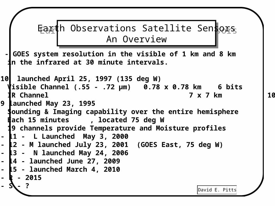
U. S. - GOES system resolution in the visible of 1 km and 8 km in the infrared at 30 minute intervals.
GOES 10 launched April 25, 1997 (135 deg W)Visible Channel (.55 - .72 µm) 0.78 x 0.78 km 6 bitsIR Channel 7 x 7 km 10 bits
GOES 9 launched May 23, 1995Sounding & Imaging capability over the entire hemisphereEach 15 minutes, located 75 deg W19 channels provide Temperature and Moisture profiles
GOES - 11 - L Launched May 3, 2000GOES - 12 - M launched July 23, 2001 (GOES East, 75 deg W)GOES - 13 - N launched May 24, 2006GOES - 14 - launched June 27, 2009GOES - 15 - launched March 4, 2010GOES - R - 2015GOES - S - ?
David E. Pitts
Earth Observations Satellite SensorsAn Overview
Earth Observations Satellite SensorsAn Overview
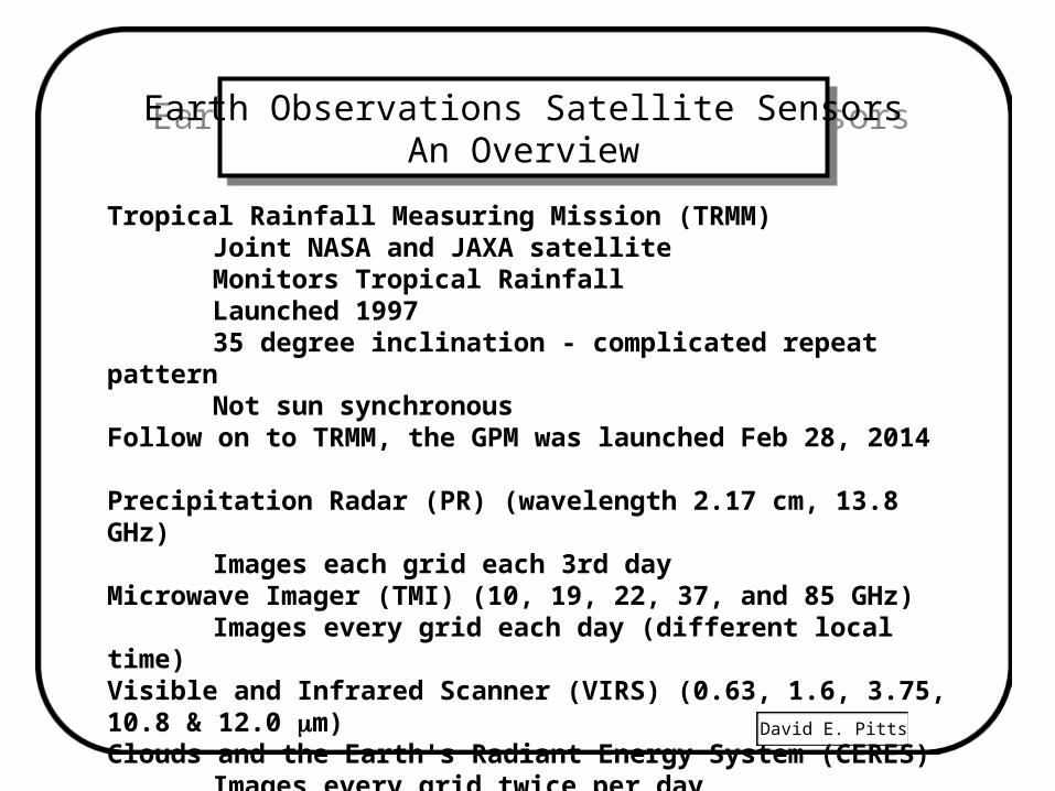
Tropical Rainfall Measuring Mission (TRMM)Joint NASA and JAXA satelliteMonitors Tropical RainfallLaunched 199735 degree inclination - complicated repeat patternNot sun synchronous
Follow on to TRMM, the GPM was launched Feb 28, 2014
Precipitation Radar (PR) (wavelength 2.17 cm, 13.8 GHz)Images each grid each 3rd day
Microwave Imager (TMI) (10, 19, 22, 37, and 85 GHz)Images every grid each day (different local time)
Visible and Infrared Scanner (VIRS) (0.63, 1.6, 3.75, 10.8 & 12.0 m)Clouds and the Earth's Radiant Energy System (CERES)
Images every grid twice per dayLightning Imaging Sensor (LIS)
David E. Pitts
Earth Observations Satellite SensorsAn Overview
Earth Observations Satellite SensorsAn Overview
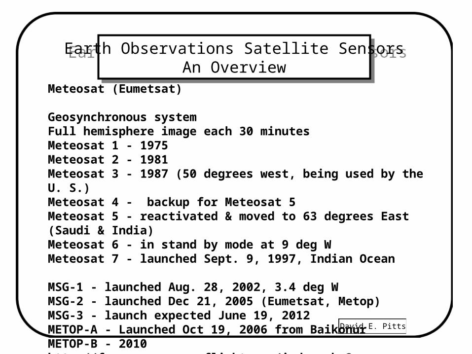
Meteosat (Eumetsat)
Geosynchronous systemFull hemisphere image each 30 minutesMeteosat 1 - 1975 Meteosat 2 - 1981Meteosat 3 - 1987 (50 degrees west, being used by the U. S.)Meteosat 4 - backup for Meteosat 5Meteosat 5 - reactivated & moved to 63 degrees East (Saudi & India)Meteosat 6 - in stand by mode at 9 deg WMeteosat 7 - launched Sept. 9, 1997, Indian Ocean
MSG-1 - launched Aug. 28, 2002, 3.4 deg WMSG-2 - launched Dec 21, 2005 (Eumetsat, Metop)MSG-3 - launch expected June 19, 2012METOP-A - Launched Oct 19, 2006 from BaikonurMETOP-B - 2010http://forum.nasaspaceflight.com/index.php?topic=6114.135
David E. Pitts
Earth Observations Satellite SensorsAn Overview
Earth Observations Satellite SensorsAn Overview
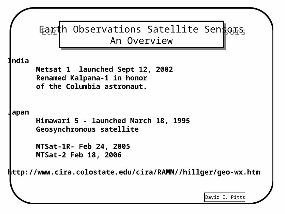
India Metsat 1 launched Sept 12, 2002Renamed Kalpana-1 in honorof the Columbia astronaut.
Japan Himawari 5 - launched March 18, 1995Geosynchronous satellite
MTSat-1R- Feb 24, 2005MTSat-2 Feb 18, 2006
http://www.cira.colostate.edu/cira/RAMM//hillger/geo-wx.htm
David E. Pitts
Earth Observations Satellite SensorsAn Overview
Earth Observations Satellite SensorsAn Overview
Russia
Meteor 3M-N1 - launched Dec. 10, 2001Meteor 3M-N2 - launched Dec 2004Polar orbiting Metsat similar to the US NOAA series.
GOMS-N1- Geosynchronous Meteorological Satelite Launched Oct. 31, 1994, Locate at 76o 50 ' E
GOMS-N2 - Launched Dec 2005visible 0.46 - 0.7 µ mIR 10.5 - 12.5 µ mIR 6.7 - 7.0 µ m on GOMS-2
http://sputnik.infospace.ru
David E. Pitts
Earth Observations Satellite SensorsAn Overview
Earth Observations Satellite SensorsAn Overview
China
FY-2B Feng Yun geostationary met satellite - June 26, 2000FY-2C - 2004FY-2D - 2006FY-2E - 2009FY-1D Polar Orbiter May 15, 2002
FSW-3 5 A recoverable imaging satellite - March 2005
David E. Pitts
Earth Observations Satellite SensorsAn Overview
Earth Observations Satellite SensorsAn Overview
• Orbital debris– 19,000 objects > 10 cm– 150,000 objects > 1 cm– China's antisatellite test Jan 11, 2007 was the worst debris creating
event.