Embed Size (px)
Citation preview


Getting Started with ArcView GIS
Introduction to the Laboratory Exercises
ERSI Product line
• MapObjects: Internet Map Server – (ActiveX)– Works in Windows Developer environments
(e.g. Access, Visual C++, Powerbuilder etc)
• SDE: Spatial Database Engine– Highly integrated data base manager– Capable of treating maps as database entries– Uses data warehouse concept
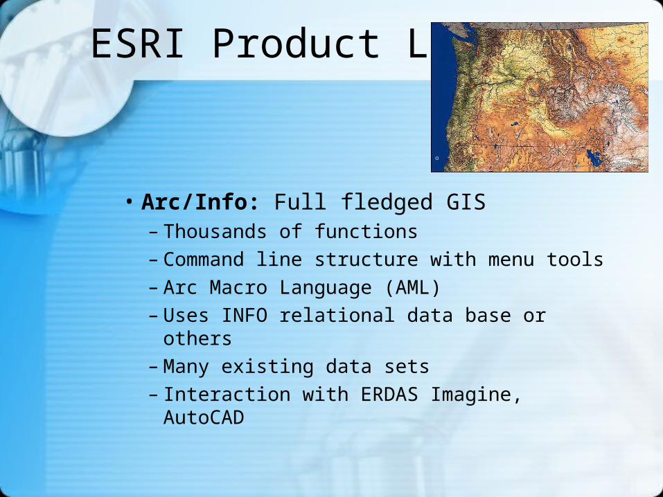
ESRI Product Line
• Arc/Info: Full fledged GIS– Thousands of functions– Command line structure with menu tools– Arc Macro Language (AML)– Uses INFO relational data base or others– Many existing data sets– Interaction with ERDAS Imagine, AutoCAD
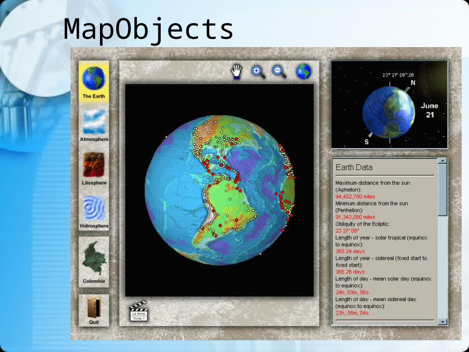
MapObjects
ESRI Product line
• ArcView 3.2– Spatial Analyst– Network Analyst– Terrain Analyst– ArcView Internet Map Server– Support Products e.g. Manuals, CD-ROM
• MapObjects: Internet Map Server (ActiveX)
ArcView Extensions
• ArcPress: Output device control
• Business Analyst
• Image Analysis
• Internet Map Server
• Network Analyst
• Spatial Analyst
• StreetMap 1.0a
• StreetMap 2000 (GDT Dynamap)
• 3D Analyst
• Tracking Analyst
• Maplex

ArcView 3.2 Additions
• General performance enhancements
• Shapefile projection utility
• Updated Database Access 2
• Updated Report Writer extension--Seagate Crystal Reports Version 7.0

ArcView 3.2 Additions (2)
• New data integration utilities
• New sample utilities and extensions
• New and updated "ESRI Data & Maps" (total of five CDs)
• Enhanced CADReader to support AutoCAD 2000
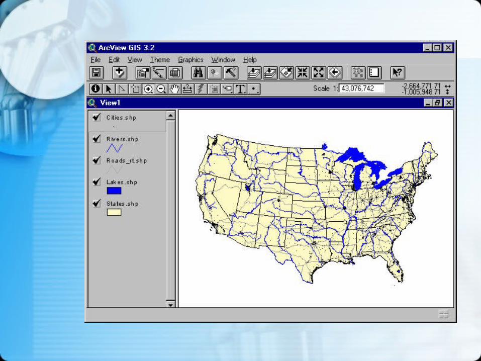
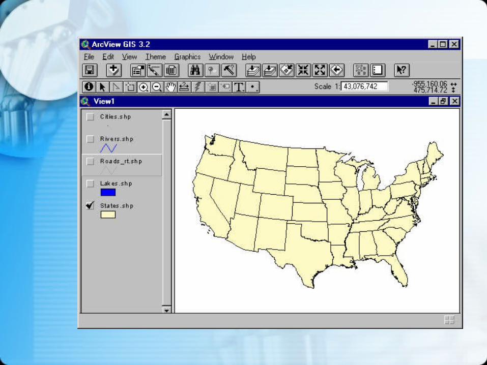
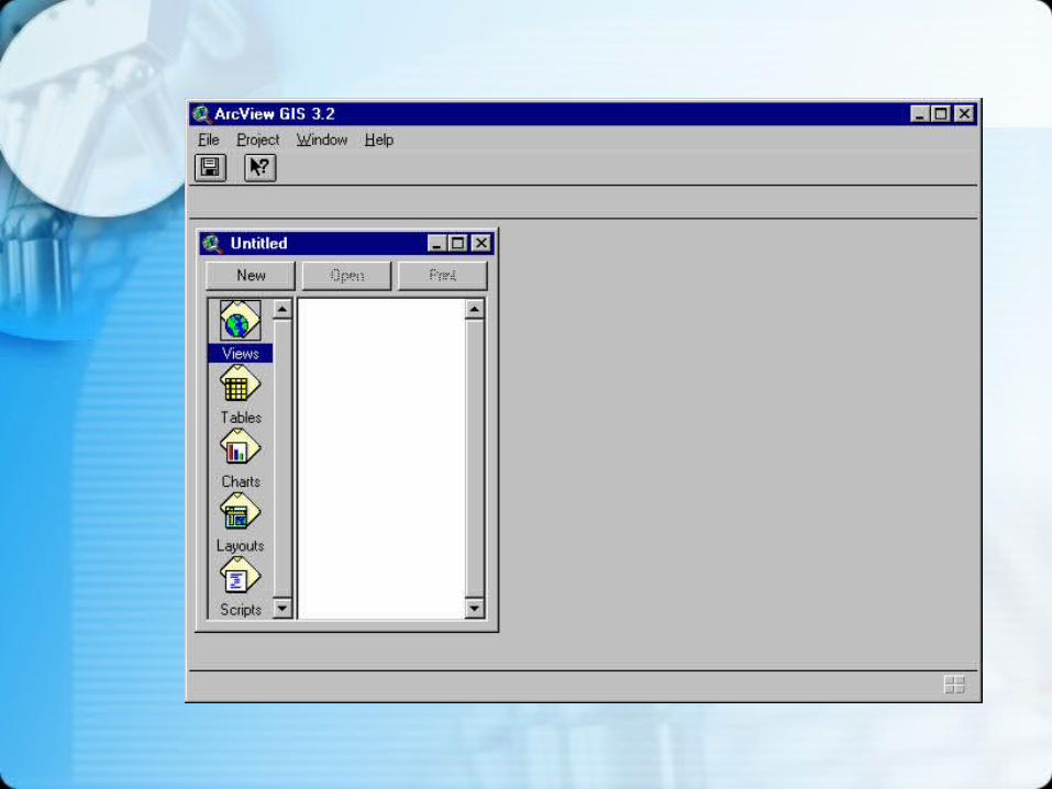
ArcView Components
• Project: collective storage for maps, charts and tables
• View: display set for geographic data
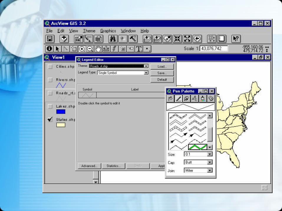
• Theme: One attribute or data layer, part of a display
• Table:spreadsheet-type flat file of attributes and records
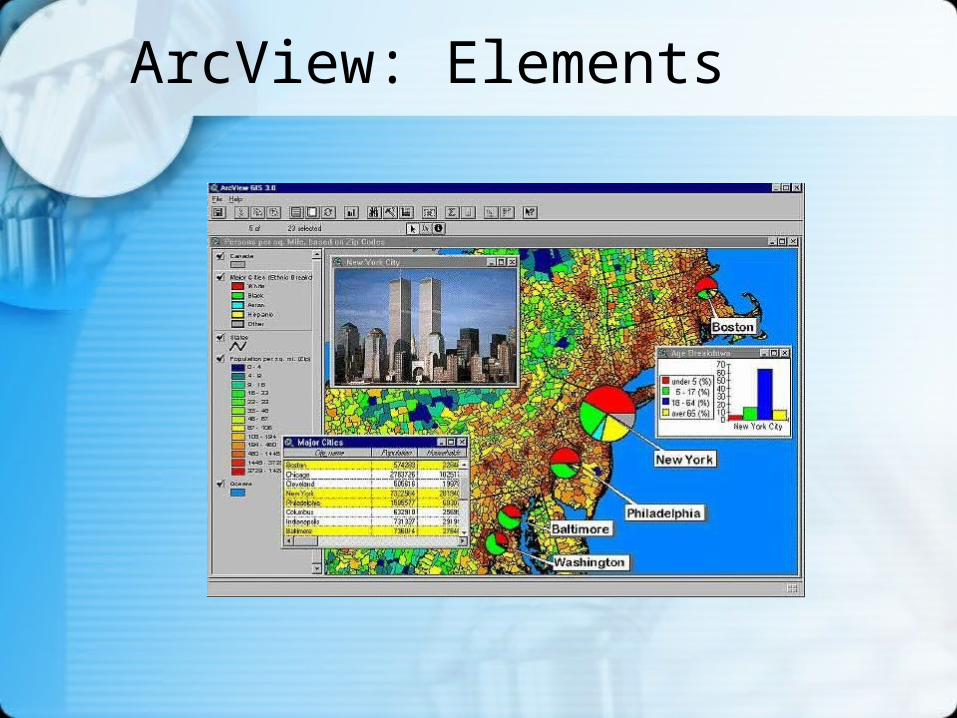
ArcView: Elements
ArcView Components (2)
• Chart: “business graphic” display of data in a table
• Layout: Full set of properties, settings, and components that generate a specific map
• Script: a program written in ArcView’s programming language called “Avenue”
• Extension: An extra part of ArcView for specific enhancements, e.g. Spatial Analyst, Network Analyst.
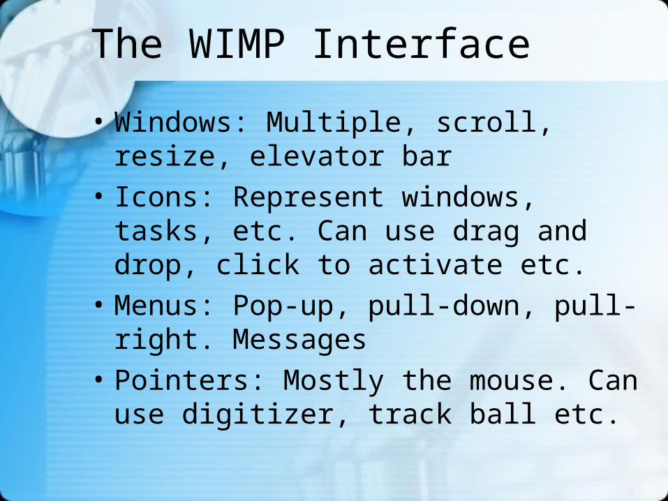
The WIMP Interface
• Windows: Multiple, scroll, resize, elevator bar
• Icons: Represent windows, tasks, etc. Can use drag and drop, click to activate etc.
• Menus: Pop-up, pull-down, pull-right. Messages
• Pointers: Mostly the mouse. Can use digitizer, track ball etc.
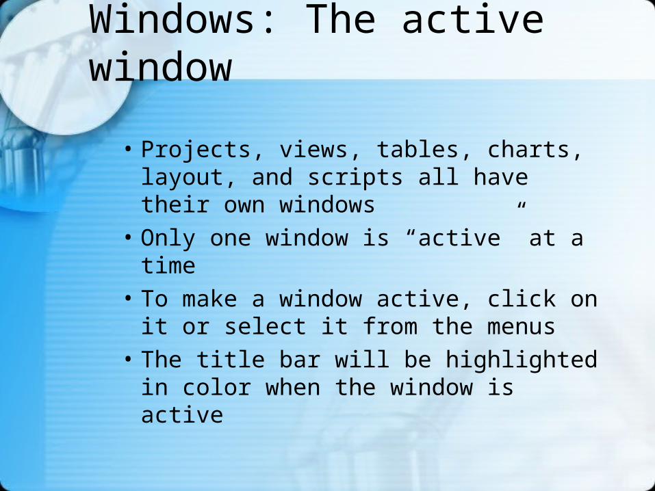
Windows: The active window
• Projects, views, tables, charts, layout, and scripts all have their own windows
• Only one window is “active” at a time
• To make a window active, click on it or select it from the menus
• The title bar will be highlighted in color when the window is active
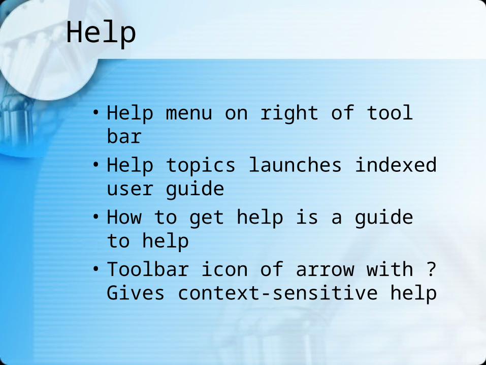
Help
• Help menu on right of tool bar
• Help topics launches indexed user guide
• How to get help is a guide to help
• Toolbar icon of arrow with ? Gives context-sensitive help
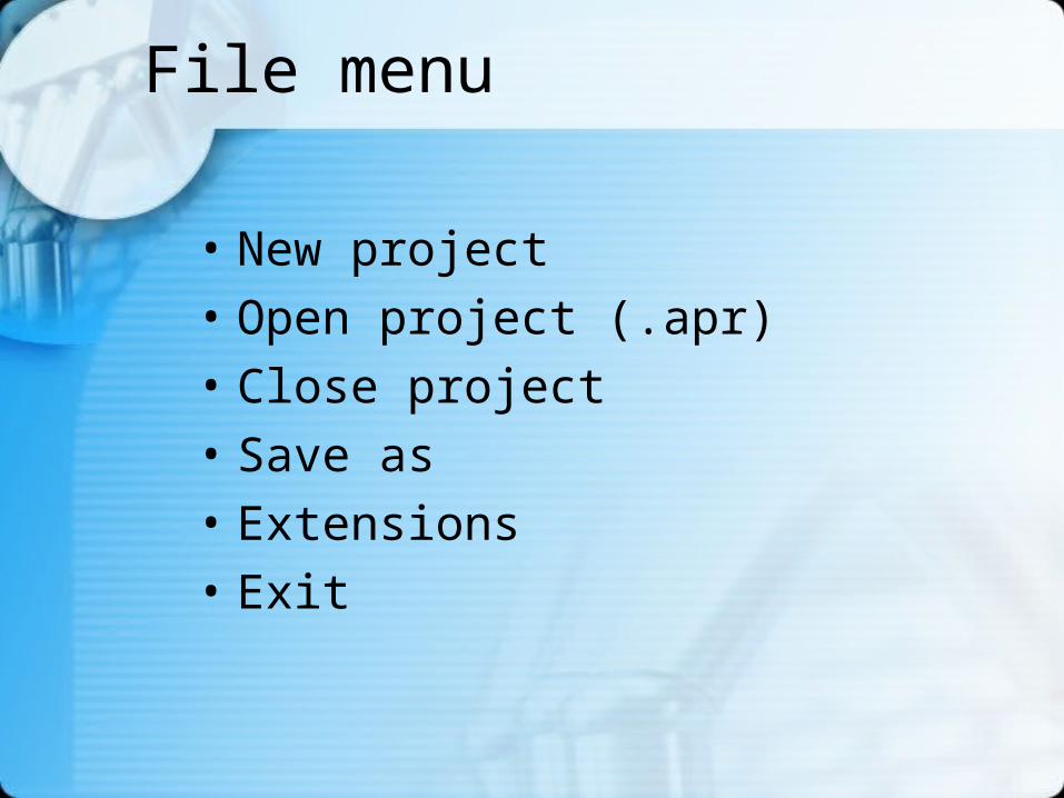
File menu
• New project
• Open project (.apr)
• Close project
• Save as
• Extensions
• Exit
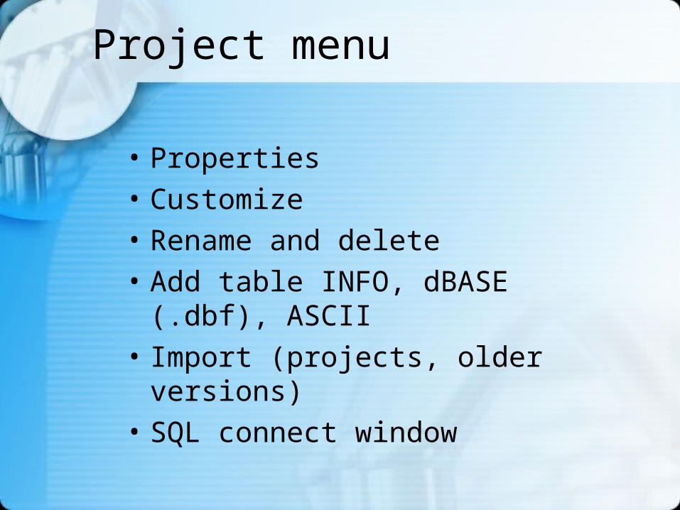
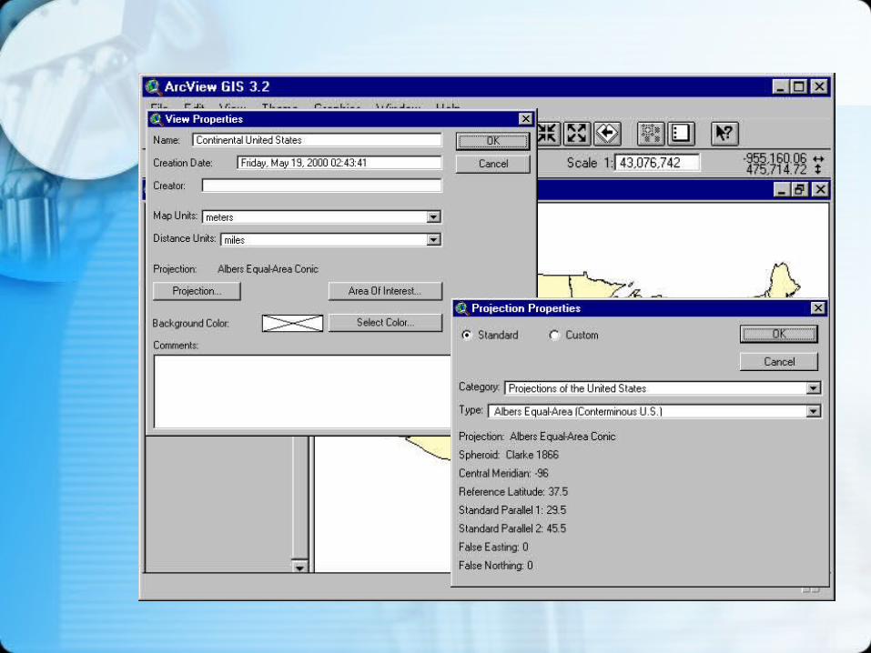
Project menu
• Properties
• Customize
• Rename and delete
• Add table INFO, dBASE (.dbf), ASCII
• Import (projects, older versions)
• SQL connect window

Graphic data formats
• ArcInfo Coverages– info directory– multiple files
• ArcView Shape File (.shp)
• Many import formats
• Output to printer, file, image etc.